Abney Wood

Wood, Forest in Lincolnshire South Kesteven

England

Abney Wood

St Bartholomew, Welby The church sits very close to the Roman road of Ermine Street.
St Bartholomew, Welby Credit: Dave Hitchborne

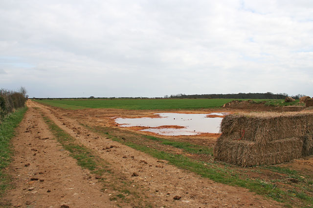
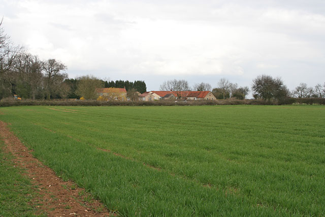
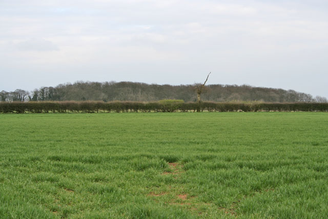
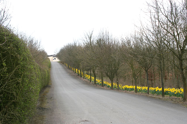
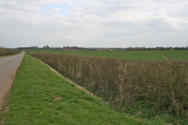
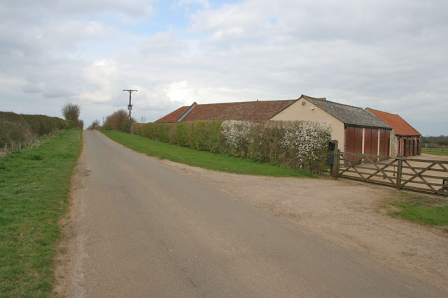
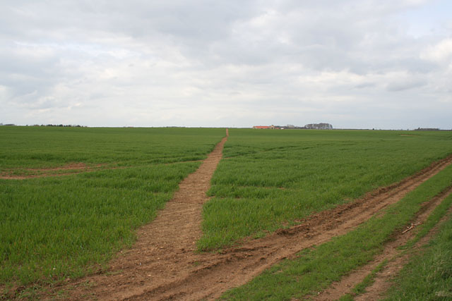
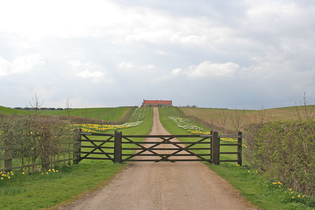
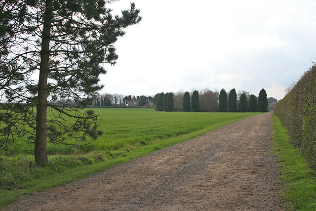
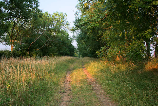
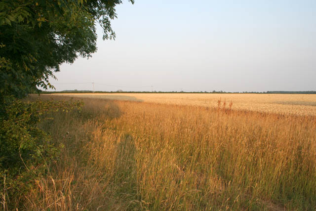
Abney Wood is a picturesque forest located in the county of Lincolnshire, England. Covering an area of approximately 300 acres, it is a popular destination for nature enthusiasts and those seeking tranquility in the midst of nature. The wood is situated near the village of Abney, just a short distance from the town of Gainsborough.

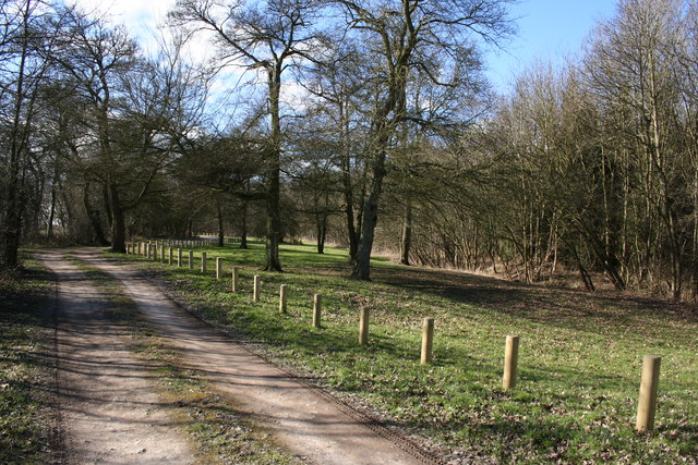
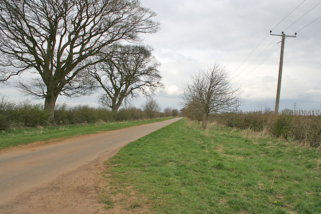
As visitors enter Abney Wood, they are greeted with a stunning display of towering oak, ash, and birch trees, creating a dense canopy that provides shade and shelter for a diverse range of flora and fauna. The forest floor is adorned with a plethora of wildflowers, including bluebells, primroses, and wood anemones, creating a vibrant and colorful landscape during the spring and summer months.

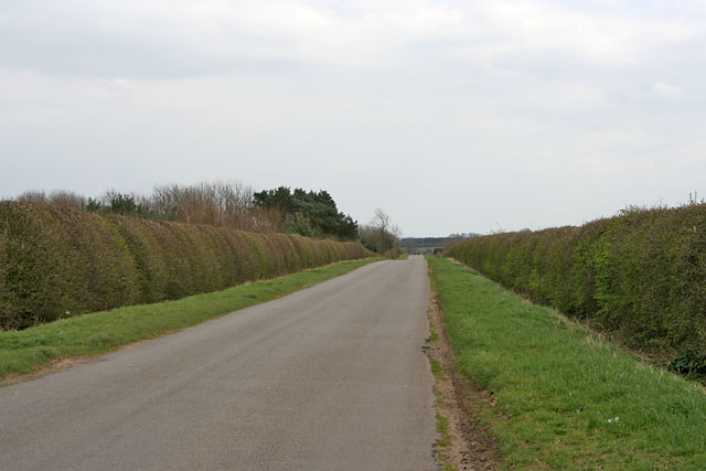
A network of well-maintained footpaths winds its way through Abney Wood, allowing visitors to explore the forest at their leisure. These paths offer breathtaking views of the surrounding countryside and provide an opportunity to spot various woodland creatures, such as deer, squirrels, and a variety of bird species.

Abney Wood is not only known for its natural beauty but also for its historical significance. The forest has been in existence for centuries and has witnessed numerous events throughout history. It is believed that the wood was once part of the hunting grounds of the nearby medieval manor, and remnants of ancient boundaries and structures can still be found within its confines.

Overall, Abney Wood is a captivating destination that offers a unique blend of natural beauty, historical charm, and a peaceful atmosphere, making it an ideal location for outdoor enthusiasts and those looking to escape the hustle and bustle of everyday life.

If you have any feedback on the listing, please let us know in the comments section below.

Abney Wood Images

Images are sourced within 2km of 52.914327/-0.54440516 or Grid Reference SK9736. Thanks to Geograph Open Source API. All images are credited.

St Bartholomew, Welby The church sits very close to the Roman road of Ermine Street.
St Bartholomew, Welby
The church sits very close to the Roman road of Ermine Street.
Ropsely Rise Wood Picnic area in the Forestry Commission's Ropsley Rise Wood
Ropsely Rise Wood
Picnic area in the Forestry Commission's Ropsley Rise Wood
St.Bartholomew's church, Welby, Lincs. A slight Early English tower with broach spire, lofty Perpendicular clerestoried nave with pinnacled parapet. The chancel is by J.H.Hakewill in 1873 with some bits of Norman incorporated.
St.Bartholomew's church, Welby, Lincs.
A slight Early English tower with broach spire, lofty Perpendicular clerestoried nave with pinnacled parapet. The chancel is by J.H.Hakewill in 1873 with some bits of Norman incorporated.
Farm Track off Church Lane near Welby Abney Wood on the horizon to the right, in <a href="https://www.geograph.org.uk/gridref/SK9736">SK9736</a>. The farmland is very flat round this area and, at about 100 metres above sea level, is quite windswept.
Farm Track off Church Lane near Welby
Abney Wood on the horizon to the right, in SK9736. The farmland is very flat round this area and, at about 100 metres above sea level, is quite windswept.
Farmland on Welby Heath, Lincolnshire Side Bar Farm is the only collection of buildings in this square, sitting at the junction of Green Lane, a track with public access, and Church Lane, the road from Welby to the A52.
Farmland on Welby Heath, Lincolnshire
Side Bar Farm is the only collection of buildings in this square, sitting at the junction of Green Lane, a track with public access, and Church Lane, the road from Welby to the A52.
Abney Wood on Welby Heath The A52 runs along the edge of this wood.
Abney Wood on Welby Heath
The A52 runs along the edge of this wood.
Church Lane, Welby, Lincolnshire Looking towards Welby.
Church Lane, Welby, Lincolnshire
Looking towards Welby.
A Long Straight Road on Ropsley Heath This road goes from the A52 to Ropsley.
A Long Straight Road on Ropsley Heath
This road goes from the A52 to Ropsley.
Farmland on Ropsley Heath A single field as far as the eye can see, Ropsley Rise Wood on the horizon.
Farmland on Ropsley Heath
A single field as far as the eye can see, Ropsley Rise Wood on the horizon.
North Lodge Farm on Ropsley Heath, Lincolnshire To the north of the only road in this square.
North Lodge Farm on Ropsley Heath, Lincolnshire
To the north of the only road in this square.
South Lodge Farm on Ropsley Heath, Lincolnshire The entrance to this farm is opposite <a href="https://www.geograph.org.uk/photo/155103">SK9835 : North Lodge Farm on Ropsley Heath, Lincolnshire</a>.
South Lodge Farm on Ropsley Heath, Lincolnshire
The entrance to this farm is opposite SK9835 : North Lodge Farm on Ropsley Heath, Lincolnshire.
Ropsley Heath, Lincolnshire Taken from the entrance to the two farms, Ropsley (<a href="https://www.geograph.org.uk/gridref/SK9934">SK9934</a>) can be seen in the distance.
Ropsley Heath, Lincolnshire
Taken from the entrance to the two farms, Ropsley (SK9934) can be seen in the distance.
Glebe Farm near Ropsley Looking towards the A52
Glebe Farm near Ropsley
Looking towards the A52
Footpath near Ropsley, Lincolnshire This footpath is clearly defined as it makes a beeline for Heath Farm in <a href="https://www.geograph.org.uk/gridref/SK9936">SK9936</a>.
Footpath near Ropsley, Lincolnshire
This footpath is clearly defined as it makes a beeline for Heath Farm in SK9936.
Heath Farm near Ropsley, Lincolnshire This farm is in a commanding position. Not surprising as it's built on the site of an old Roman camp.
Heath Farm near Ropsley, Lincolnshire
This farm is in a commanding position. Not surprising as it's built on the site of an old Roman camp.
Heydour Lodge Farm, near Braceby, Lincolnshire Just to the north of the A52
Heydour Lodge Farm, near Braceby, Lincolnshire
Just to the north of the A52
Green Lane near Harrowby This green lane is called Green Lane!
Green Lane near Harrowby
This green lane is called Green Lane!
Farmland off Green Lane There is a wide margin of indigenous planting in the margins of this field.
Farmland off Green Lane
There is a wide margin of indigenous planting in the margins of this field.
Show me another place!

Abney Wood is located at Grid Ref: SK9736 (Lat: 52.914327, Lng: -0.54440516)

Administrative County: Lincolnshire

District: South Kesteven

Police Authority: Lincolnshire

What 3 Words

///carrots.regulator.vague. Near Grantham, Lincolnshire

Nearby Locations

Abney Wood Welby Heath

Related Wikis

St Bartholomew's Church, Welby

St Bartholomew's Church is a Grade I listed Anglican church dedicated to St Bartholomew the Apostle, in the English village of Welby, Lincolnshire. It...

Great Humby

Great Humby is a hamlet in the South Kesteven district of Lincolnshire, England. It lies in the civil parish of Ropsley and Humby, 6 miles (9.7 km) east...

Ropsley

Ropsley is a village in the South Kesteven district of Lincolnshire, England. The village is situated approximately 5 miles (8 km) east from Grantham,...

St Peter's Church, Ropsley

St Peter's Church is a Grade I listed Anglican parish church dedicated to Saint Peter, in Ropsley, Lincolnshire, England. The church is 5 miles (8 km)...

Welby, Lincolnshire

Welby is a village and civil parish in the South Kesteven district of Lincolnshire, England. The population of the civil parish was 169 in 82 households...

Londonthorpe

Londonthorpe is a village to the east of Grantham, in the civil parish of Londonthorpe and Harrowby Without, in South Kesteven district of Lincolnshire...

Harrowby, Lincolnshire

Harrowby is a hamlet in the South Kesteven district of Lincolnshire, England. It lies 2 miles (3 km) east of the market town of Grantham. Harrowby was...

Londonthorpe and Harrowby Without

Londonthorpe and Harrowby Without is a civil parish in the South Kesteven district of Lincolnshire, England. According to the 2001 Census it had a population...

Nearby Amenities

Located within 500m of 52.914327,-0.54440516
Parking
Parking: layby
Lat/Long: 52.916271/-0.5449229
The data included in this document is from www.openstreetmap.org. The data is made available under ODbL.

Have you been to Abney Wood?

Leave your review of Abney Wood below (or comments, questions and feedback).