South Field
Downs, Moorland in Buckinghamshire
England
South Field

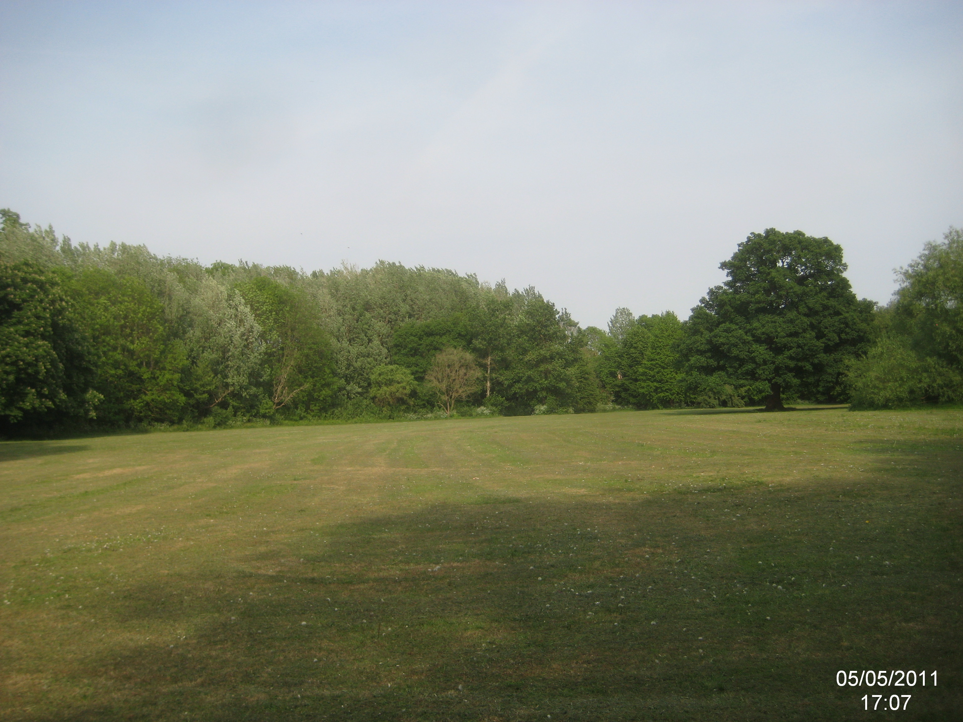
South Field is a picturesque area located in the county of Buckinghamshire, England. Nestled between the rolling Chiltern Hills, this region is known for its stunning downs and moorland landscapes. Covering a vast area, South Field is a haven for nature enthusiasts and offers a variety of outdoor activities.
The downs of South Field are characterized by their expansive grasslands, dotted with wildflowers and heather. Walking trails crisscross the downs, providing breathtaking views of the surrounding countryside. Visitors can also spot various species of birds, such as skylarks and kestrels, soaring above the open expanse.
Moorland can be found in the eastern part of South Field, offering a distinct landscape with its heathlands, bogs, and scattered stands of birch and pine trees. This diverse ecosystem supports a range of wildlife, including rare species like the Dartford warbler and sand lizard. For those interested in photography or birdwatching, the moorland provides ample opportunities to capture the natural beauty of the area.
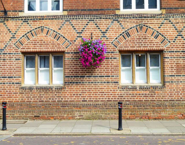
South Field is also home to several charming villages, each with its own unique character. These communities offer a glimpse into traditional English rural life, with well-preserved cottages, village greens, and historic churches. Local pubs and tearooms provide a warm welcome to both residents and visitors, offering a chance to sample delicious local cuisine and experience the renowned Buckinghamshire hospitality.
Overall, South Field in Buckinghamshire is a stunning region that combines the beauty of downs and moorland with the charm of traditional English villages. It is a destination that allows visitors to immerse themselves in nature, explore walking trails, and soak up the tranquility of the countryside.
If you have any feedback on the listing, please let us know in the comments section below.
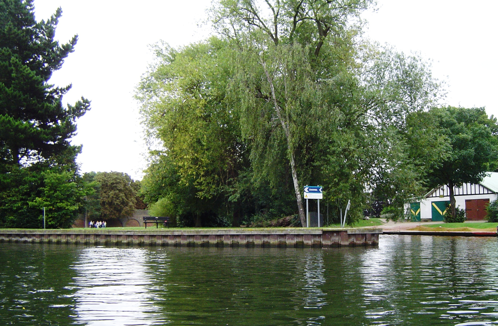
South Field Images
Images are sourced within 2km of 51.492406/-0.62524139 or Grid Reference SU9577. Thanks to Geograph Open Source API. All images are credited.


South Field is located at Grid Ref: SU9577 (Lat: 51.492406, Lng: -0.62524139)
Unitary Authority: Windsor and Maidenhead
Police Authority: Thames Valley
What 3 Words
///from.chin.today. Near Eton Wick, Berkshire
Nearby Locations
Related Wikis

Windsor Racecourse
Windsor Racecourse, also known as Royal Windsor Racecourse, is a thoroughbred horse racing venue located in Windsor, Berkshire, England. It is one of...
Clewer Mill Stream
Clewer Mill Stream is a narrow twisting backwater of the River Thames near Windsor, Berkshire, England, which leaves the main river at Bush Ait and rejoins...
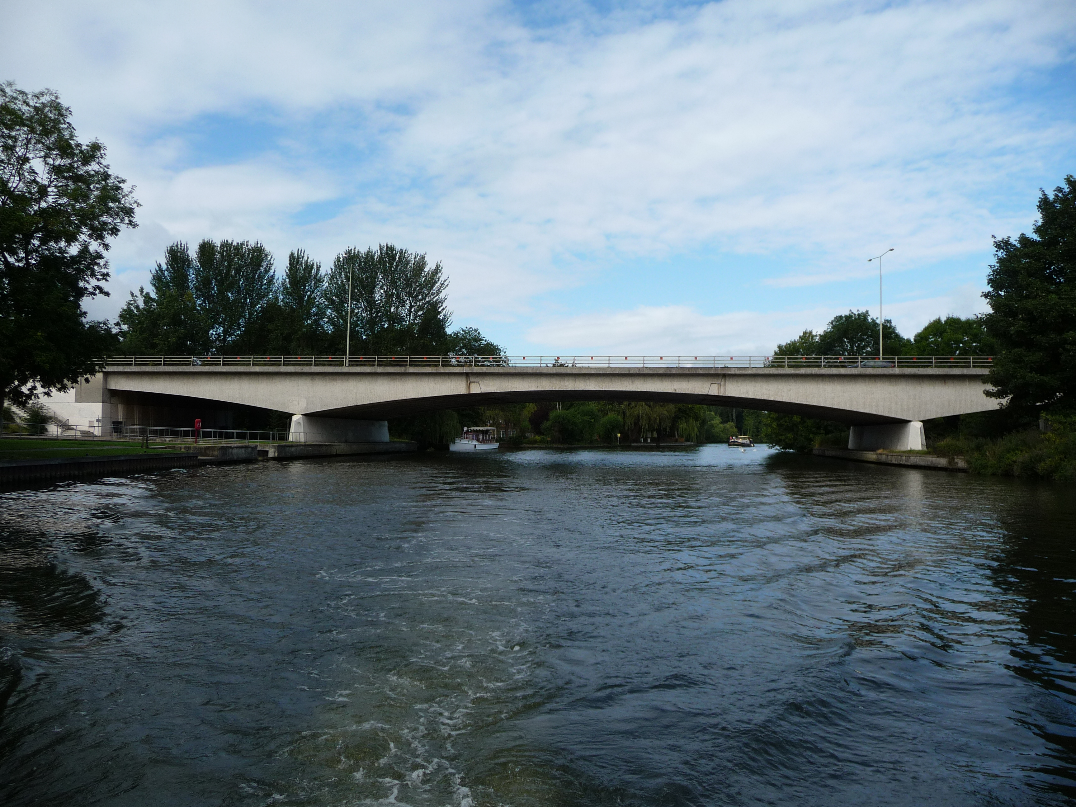
Queen Elizabeth Bridge
The Queen Elizabeth Bridge is a road bridge just to the west of the town of Windsor, Berkshire, England. The bridge carries the A332 Royal Windsor Way...

Windsor Boys' School Boat Club
Windsor Boys' School Boat Club is a rowing club based on the River Thames at 7 Stovell Road, Windsor, Berkshire. == History == On 18 January 1939 the new...
Clewer Park
Clewer Park can be found within the village of Clewer to the west of Windsor, England. Today Clewer Park consists of a small estate of residential homes...

Windsor Railway Bridge
Windsor Railway Bridge is a wrought iron 'bow and string' bridge in Windsor, Berkshire, crossing the River Thames on the reach between Romney Lock and...
Baths Island
Baths Island is an island in the River Thames in England on the reach above Romney Lock, between Eton Wick and Windsor, Berkshire. The island is unpopulated...
Eton Wick F.C.
Eton Wick is a football club based in Eton Wick, England. They currently play in the East Berkshire League Division One. == History == The club was formed...
Nearby Amenities
Located within 500m of 51.492406,-0.62524139Have you been to South Field?
Leave your review of South Field below (or comments, questions and feedback).