Athens
Lake, Pool, Pond, Freshwater Marsh in Berkshire
England
Athens

Athens, Berkshire is a picturesque town located in Berkshire County, Massachusetts, in the United States. Known for its stunning natural beauty, the town is home to several bodies of water, including a lake, pool, pond, and freshwater marsh.
The centerpiece of Athens is the Athens Lake, a tranquil and serene body of water that spans approximately 50 acres. The lake offers breathtaking views, making it a popular spot for boating, fishing, and other water-based recreational activities. The crystal-clear waters of Athens Lake are ideal for swimming during the summer months, providing a refreshing escape from the heat.
Adjacent to the lake is the Athens Pool, a man-made swimming pool that offers a more controlled and regulated environment for those who prefer to swim in a controlled setting. The pool is meticulously maintained, providing a safe and enjoyable experience for visitors of all ages.
For those seeking a more secluded and intimate water experience, Athens Pond offers a peaceful environment surrounded by lush greenery. The pond is smaller in size compared to the lake, but it provides a tranquil atmosphere for fishing and canoeing.
Lastly, the town of Athens is also home to a freshwater marsh, which serves as a vital habitat for various plant and animal species. This marshland is a perfect spot for birdwatching and nature enthusiasts, offering the opportunity to observe a diverse range of wildlife in their natural habitat.
Overall, Athens, Berkshire is a haven for nature lovers, offering a variety of water bodies that cater to different preferences and interests. Whether it's swimming, fishing, or simply enjoying the beauty of the natural surroundings, Athens has something to offer for everyone.
If you have any feedback on the listing, please let us know in the comments section below.
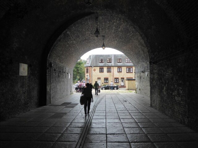
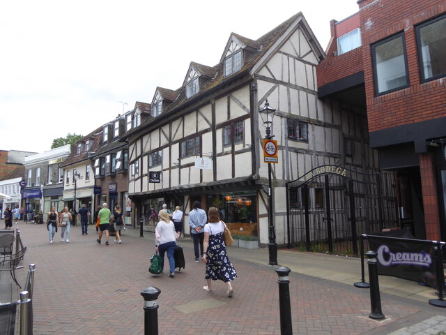
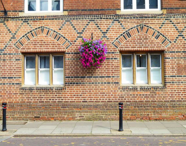
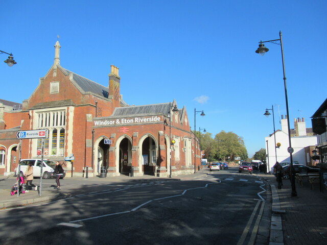
Athens Images
Images are sourced within 2km of 51.491508/-0.62840856 or Grid Reference SU9577. Thanks to Geograph Open Source API. All images are credited.


Athens is located at Grid Ref: SU9577 (Lat: 51.491508, Lng: -0.62840856)
Unitary Authority: Windsor and Maidenhead
Police Authority: Thames Valley
What 3 Words
///water.button.liner. Near Eton Wick, Berkshire
Nearby Locations
Related Wikis

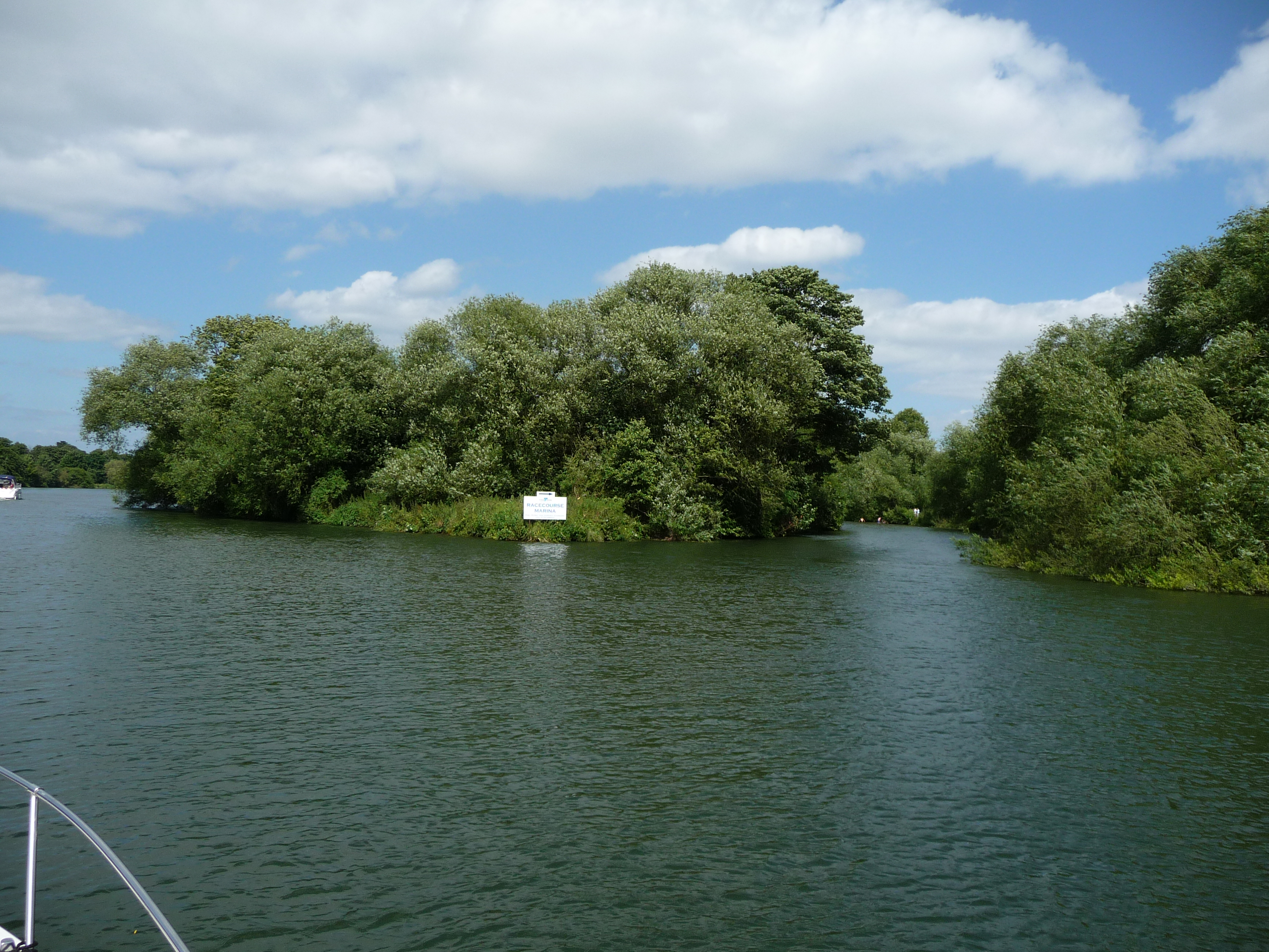
Windsor Racecourse
Windsor Racecourse, also known as Royal Windsor Racecourse, is a thoroughbred horse racing venue located in Windsor, Berkshire, England. It is one of...
Clewer Mill Stream
Clewer Mill Stream is a narrow twisting backwater of the River Thames near Windsor, Berkshire, England, which leaves the main river at Bush Ait and rejoins...
Clewer Park
Clewer Park can be found within the village of Clewer to the west of Windsor, England. Today Clewer Park consists of a small estate of residential homes...
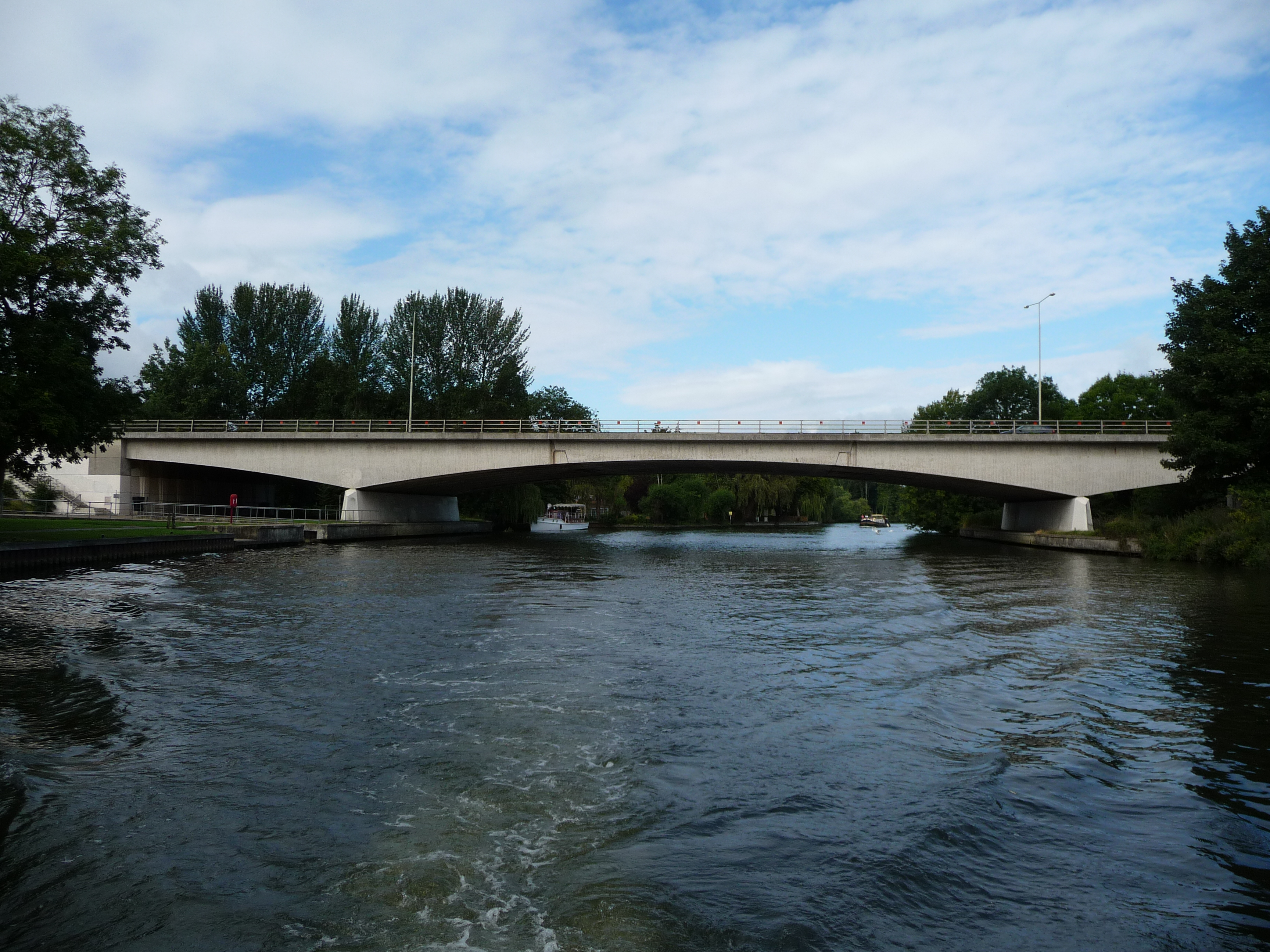
Queen Elizabeth Bridge
The Queen Elizabeth Bridge is a road bridge just to the west of the town of Windsor, Berkshire, England. The bridge carries the A332 Royal Windsor Way...
Eton Wick F.C.
Eton Wick is a football club based in Eton Wick, England. They currently play in the East Berkshire League Division One. == History == The club was formed...
Clewer
Clewer (also known as Clewer Village) is an ecclesiastical parish and an area of Windsor in the county of Berkshire, England. Clewer makes up three wards...

Windsor Boys' School Boat Club
Windsor Boys' School Boat Club is a rowing club based on the River Thames at 7 Stovell Road, Windsor, Berkshire. == History == On 18 January 1939 the new...
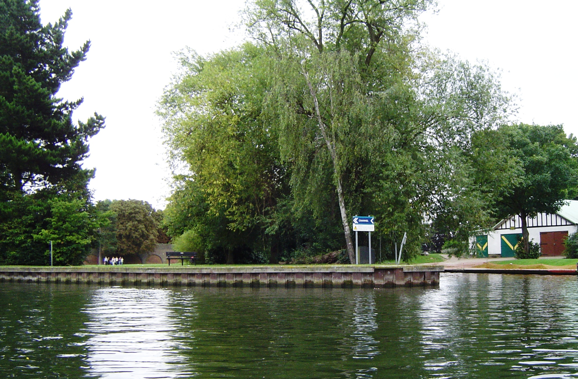
Baths Island
Baths Island is an island in the River Thames in England on the reach above Romney Lock, between Eton Wick and Windsor, Berkshire. The island is unpopulated...
Nearby Amenities
Located within 500m of 51.491508,-0.62840856Have you been to Athens?
Leave your review of Athens below (or comments, questions and feedback).