Mousehill Down
Downs, Moorland in Surrey Waverley
England
Mousehill Down
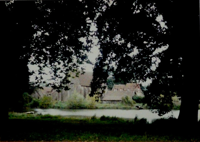
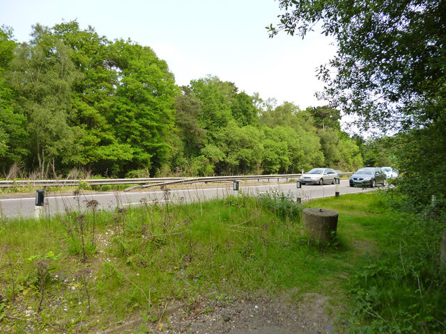
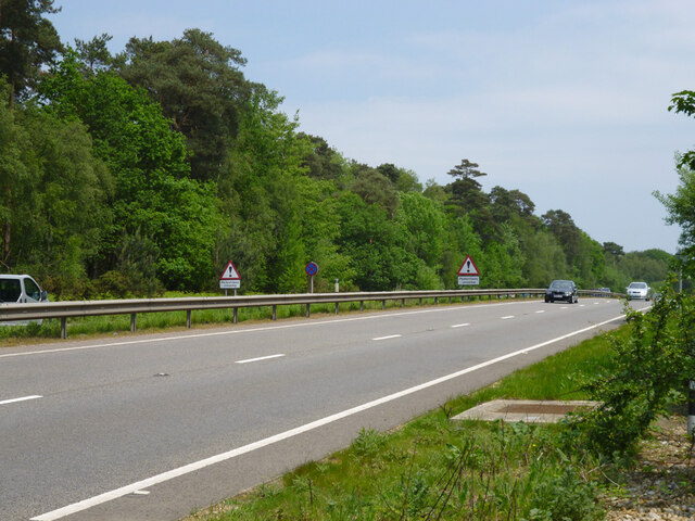
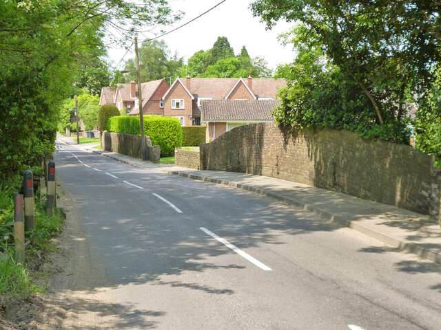
Mousehill Down is a picturesque area located in Surrey, England. Situated within the Surrey Hills Area of Outstanding Natural Beauty, it offers visitors a stunning landscape of rolling hills, expansive moorland, and charming woodlands. Spanning over 600 acres, Mousehill Down is a haven for nature enthusiasts and outdoor adventurers.
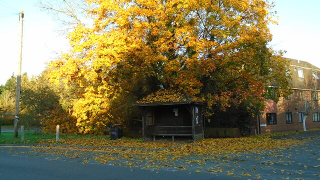
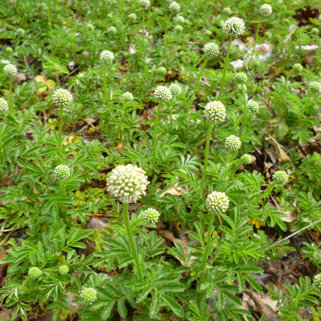
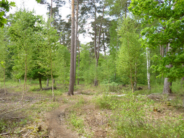
The area is characterized by its diverse flora and fauna, with an array of wildflowers, grasses, and ancient trees dotting the landscape. Visitors can appreciate the beauty of the downs throughout the year, as the scenery changes with the seasons. In spring, vibrant flowers such as bluebells and primroses blanket the ground, while in autumn, the hills are adorned with hues of gold and red as the leaves change color.
The downland is also home to various wildlife species, including rabbits, hares, and a variety of bird species. Birdwatchers can spot kestrels, buzzards, and skylarks soaring through the skies, adding to the enchanting atmosphere of the area.
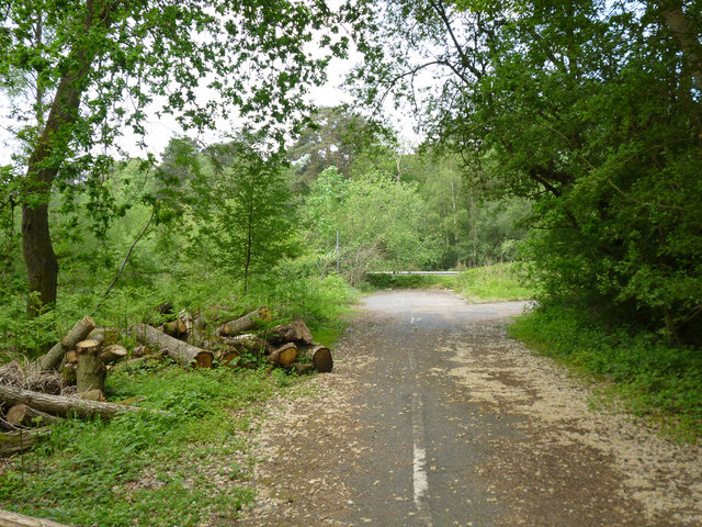
For outdoor enthusiasts, Mousehill Down offers a network of footpaths and bridleways, allowing visitors to explore the area on foot, by bike, or on horseback. The undulating terrain provides breathtaking views of the surrounding countryside, making it a popular destination for hikers and cyclists alike.
Moreover, Mousehill Down is steeped in history, with evidence of ancient settlements and earthworks scattered across the downs. Visitors can discover the remnants of Iron Age hillforts and burial mounds, providing a glimpse into the area's rich past.
Overall, Mousehill Down in Surrey is a captivating destination that showcases the natural beauty and historical significance of the region. Whether it be for a leisurely stroll, wildlife spotting, or a challenging hike, this idyllic area offers something for everyone to enjoy.
If you have any feedback on the listing, please let us know in the comments section below.
Mousehill Down Images
Images are sourced within 2km of 51.170604/-0.6620805 or Grid Reference SU9342. Thanks to Geograph Open Source API. All images are credited.


Mousehill Down is located at Grid Ref: SU9342 (Lat: 51.170604, Lng: -0.6620805)
Administrative County: Surrey
District: Waverley
Police Authority: Surrey
What 3 Words
///passages.tugging.unguarded. Near Milford, Surrey
Nearby Locations
Related Wikis

Rodborough Common, Surrey
Rodborough Common is a 62.2-hectare (154-acre) Local Nature Reserve west of Milford in Surrey. It is owned by Surrey County Council and managed by Surrey...

Milford, Surrey
Milford is a village in the civil parish of Witley south west of Godalming in Surrey, England that was a small village in the early medieval period — it...

Elstead Group of Commons
Elstead Group of Commons is a 180-hectare (440-acre) nature reserve east of Elstead in Surrey. It is composed of Royal, Elstead and Ockley Commons, which...

Oxenford Farm
Oxenford Farm is a former abbey farm, a dependency of Waverley Abbey in the civil parish of Witley, Surrey, England, with several listed buildings around...

Rodborough School
Rodborough School is a coeducational secondary school with academy status, located in Milford, Surrey, England. The school is a feeder school for Godalming...

Aaron's Hill, Surrey
Aaron's Hill is a suburb of Godalming in Surrey, England. It is named after the hill it sits on and has a road named after it. Aaron's Hill is adjacent...
Ockford Ridge
Ockford Ridge is the part of the parish and town of Godalming, Surrey, England west of the London-Portsmouth railway. It has a narrow buffer to the west...

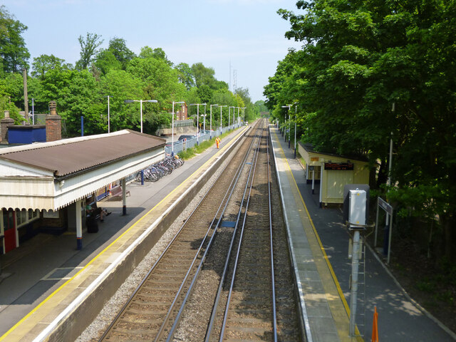
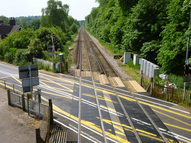
Milford railway station
Milford railway station is a railway station serving the village of Milford in the English county of Surrey. It is a stop on the Portsmouth Direct Line...
Nearby Amenities
Located within 500m of 51.170604,-0.6620805Have you been to Mousehill Down?
Leave your review of Mousehill Down below (or comments, questions and feedback).