Gorse Lawn

Downs, Moorland in Lincolnshire South Kesteven

England

Gorse Lawn

Morrisons carpark, Grantham This is the ground level of a multi storey carpark serving the Isaac Newton Shopping Centre
Morrisons carpark, Grantham Credit: Kate Jewell

Gorse Lawn is a picturesque area located in Lincolnshire, England, known for its breathtaking downs and moorland landscapes. Situated amidst the sprawling countryside, Gorse Lawn offers a tranquil retreat for nature enthusiasts and outdoor lovers alike.

The downs of Gorse Lawn are characterized by their rolling hills and vast open spaces, adorned with vibrant wildflowers and lush greenery. Visitors can enjoy long walks or hikes, taking in the stunning panoramic views of the surrounding countryside. The area is also home to a variety of wildlife, including rabbits, foxes, and a range of bird species, making it a haven for wildlife enthusiasts.

Moorland is another prominent feature of Gorse Lawn, with its rugged terrain and heather-covered hills. The moorland offers a unique and contrasting landscape to the downs, with its distinctive purple hues and rocky outcrops. It provides an ideal setting for peaceful walks and provides opportunities for bird watching and photography.

Gorse Lawn is also known for its historical significance, with traces of ancient settlements and burial grounds scattered across the area. It offers a glimpse into the rich heritage of the region, attracting history enthusiasts and archeology buffs. Additionally, the area is dotted with charming villages and hamlets, where visitors can explore local shops, cafes, and pubs, immersing themselves in the warm and welcoming community atmosphere.

In summary, Gorse Lawn in Lincolnshire is a captivating destination that showcases the beauty of downs and moorland landscapes. With its idyllic surroundings, abundant wildlife, and historical significance, it offers a perfect getaway for those seeking a peaceful retreat and an opportunity to connect with nature.

If you have any feedback on the listing, please let us know in the comments section below.
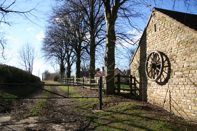
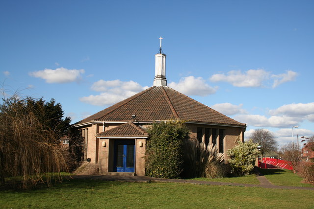
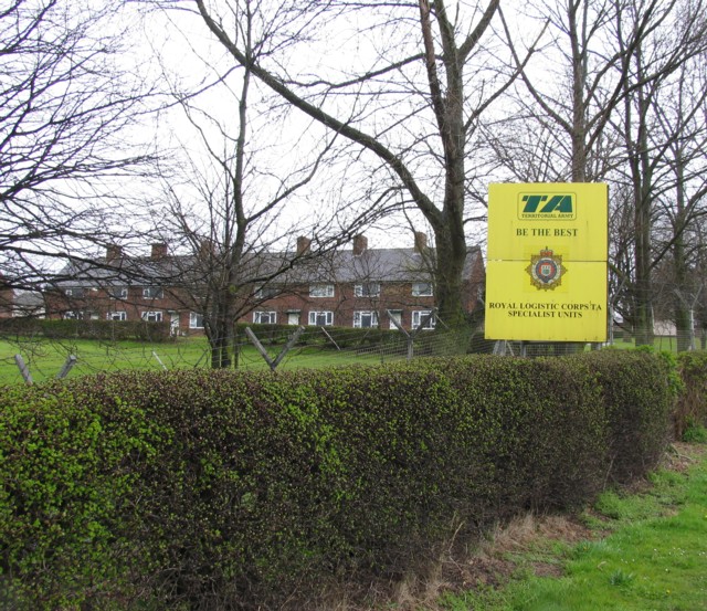
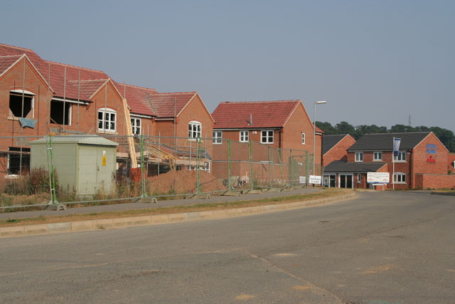
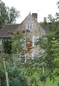
Gorse Lawn Images

Images are sourced within 2km of 52.915138/-0.6191122 or Grid Reference SK9236. Thanks to Geograph Open Source API. All images are credited.

Morrisons carpark, Grantham This is the ground level of a multi storey carpark serving the Isaac Newton Shopping Centre
Morrisons carpark, Grantham
This is the ground level of a multi storey carpark serving the Isaac Newton Shopping Centre
Grantham View south down the A607.
Grantham
View south down the A607.
Disused malthouse Disused malthouse at Grantham
Disused malthouse
Disused malthouse at Grantham
Cottages and old malthouse Cottages and old malthouse at Grantham
Cottages and old malthouse
Cottages and old malthouse at Grantham
On Barrowby Road, Grantham These Victorian terraced cottages are opposite ASDA
On Barrowby Road, Grantham
These Victorian terraced cottages are opposite ASDA
Grantham Station The station in Grantham is on the GNER main line that runs from London to Scotland. It's only 76 minutes from London on the express so this station gets very busy early weekday mornings and evenings.
Grantham Station
The station in Grantham is on the GNER main line that runs from London to Scotland. It's only 76 minutes from London on the express so this station gets very busy early weekday mornings and evenings.
Grantham Station Platform 1 at Grantham Station with the Hull to London train just arriving.
Grantham Station
Platform 1 at Grantham Station with the Hull to London train just arriving.
A vestige of a bygone age North Parade, Grantham, is a row of Georgian town houses.
A vestige of a bygone age
North Parade, Grantham, is a row of Georgian town houses.
St.John's church, Manthorpe, Lincs. In the pretty stone estate village of Manthorpe on the outskirts of Grantham, built 1847-8 by G.G.Place of Nottingham in a Early English gothic revival manner.
St.John's church, Manthorpe, Lincs.
In the pretty stone estate village of Manthorpe on the outskirts of Grantham, built 1847-8 by G.G.Place of Nottingham in a Early English gothic revival manner.
Low Road. Manthorpe
Low Road. Manthorpe
Radio mast On the cliff between Harrowby and Londonthorpe
Radio mast
On the cliff between Harrowby and Londonthorpe
Lane at Harrowby Hall Heading SW towards Beacon Hill
Lane at Harrowby Hall
Heading SW towards Beacon Hill
Church of the Ascension, Harrowby Modern church in housing estate
Church of the Ascension, Harrowby
Modern church in housing estate
Harrowby Lane Methodist church The church was an old hut until recently when this new multi-purpose building was erected by its enthusiastic congregation <span class="nowrap"><a title="http://www.users.zetnet.co.uk/harrowbylane/" rel="nofollow ugc noopener" href="http://www.users.zetnet.co.uk/harrowbylane/">Link</a><img style="margin-left:2px;" alt="External link" title="External link - shift click to open in new window" src="https://s1.geograph.org.uk/img/external.png" width="10" height="10"/></span>
Harrowby Lane Methodist church
The church was an old hut until recently when this new multi-purpose building was erected by its enthusiastic congregation LinkExternal link
Army Housing Large Army Barracks and housing on A52 east of Grantham.
Army Housing
Large Army Barracks and housing on A52 east of Grantham.
Grantham Station Grantham railway station lies on the East Coast Main Line (ECML) 105.5 miles north of London King's Cross.
Junctions near the town also connect branches to Nottingham, and to Sleaford and Skegness. The station was opened in 1852.
Wikipedia: <span class="nowrap"><a title="http://en.wikipedia.org/wiki/Grantham_railway_station" rel="nofollow ugc noopener" href="http://en.wikipedia.org/wiki/Grantham_railway_station">Link</a><img style="margin-left:2px;" alt="External link" title="External link - shift click to open in new window" src="https://s1.geograph.org.uk/img/external.png" width="10" height="10"/></span>
Grantham Station
Grantham railway station lies on the East Coast Main Line (ECML) 105.5 miles north of London King's Cross. Junctions near the town also connect branches to Nottingham, and to Sleaford and Skegness. The station was opened in 1852. Wikipedia: LinkExternal link
New housing, off Londonthorpe Lane, Grantham
1970s housing, Grantham There are lots of 1970s housing estates in Grantham. This shows the junction of Teesdale Road with Dale Road to the north of the hospital off Manthorpe Road.
1970s housing, Grantham
There are lots of 1970s housing estates in Grantham. This shows the junction of Teesdale Road with Dale Road to the north of the hospital off Manthorpe Road.
Show me another place!

Gorse Lawn is located at Grid Ref: SK9236 (Lat: 52.915138, Lng: -0.6191122)

Administrative County: Lincolnshire

District: South Kesteven

Police Authority: Lincolnshire

What 3 Words

///resort.scam.line. Near Grantham, Lincolnshire

Nearby Locations

Gorse Lawn Cherry Orchard

Related Wikis

Harrowby United F.C.

Harrowby United Football Club is a football club representing the parish of Harrowby in Grantham, Lincolnshire. They are currently members of the United...

Harrowby Hall

Harrowby Hall is a Grade II* listed building in Harrowby, Lincolnshire, England. The Hall was the family home of the Ryder family and the former home of...

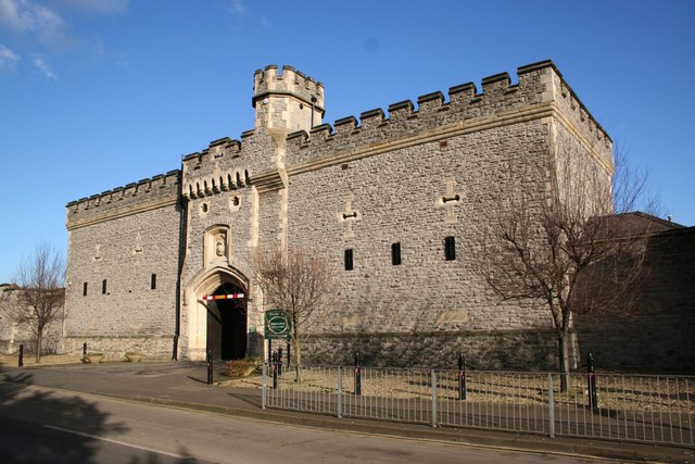
The Old Barracks, Grantham

The Old Barracks is a former military installation in Sandon Road, Grantham. It is a Grade II listed building. == History == The old barracks in Grantham...

Kesteven

The Parts of Kesteven ( or ) are a traditional division of Lincolnshire, England. This division had long had a separate county administration (quarter...

Nearby Amenities

Located within 500m of 52.915138,-0.6191122
Turning Circle
Lat/Long: 52.917904/-0.623321
Turning Circle
Lat/Long: 52.9162082/-0.6119354
Power: tower
Lat/Long: 52.9137801/-0.6244614
Power: tower
Lat/Long: 52.9143021/-0.6220503
Power: tower
Lat/Long: 52.9146568/-0.6204633
Power: tower
Lat/Long: 52.9150584/-0.6187514
Power: tower
Lat/Long: 52.9155318/-0.6164929
Power: tower
Lat/Long: 52.9158865/-0.6149169
Power: tower
Lat/Long: 52.9163951/-0.612553
Cherry Orchard
Place: neighbourhood
Source: Bing
Lat/Long: 52.9180953/-0.6202281
Hall's Hill
Place: locality
Source: Bing
Lat/Long: 52.9120527/-0.6178274
Gorse Lawn
Place: locality
Source: Bing
Lat/Long: 52.9149208/-0.6212252
Leisure: picnic_table
Lat/Long: 52.9109014/-0.6180519
Natural: spring
Lat/Long: 52.912076/-0.6227719
Natural: spring
Lat/Long: 52.9133336/-0.6240738
Generator Method: photovoltaic
Generator Output Electricity: yes
Generator Source: solar
Generator Type: solar_photovoltaic_panel
Location: roof
Power: generator
Lat/Long: 52.9191005/-0.6193514
Generator Method: photovoltaic
Generator Output Electricity: yes
Generator Source: solar
Generator Type: solar_photovoltaic_panel
Location: roof
Power: generator
Lat/Long: 52.9191328/-0.6194265
Generator Method: photovoltaic
Generator Output Electricity: yes
Generator Source: solar
Generator Type: solar_photovoltaic_panel
Location: roof
Power: generator
Lat/Long: 52.9191707/-0.6160634
Generator Method: photovoltaic
Generator Output Electricity: yes
Generator Source: solar
Generator Type: solar_photovoltaic_panel
Location: roof
Power: generator
Lat/Long: 52.9160201/-0.6218664
Generator Method: photovoltaic
Generator Output Electricity: yes
Generator Source: solar
Generator Type: solar_photovoltaic_panel
Location: roof
Power: generator
Lat/Long: 52.9158001/-0.6228079
Generator Method: photovoltaic
Generator Output Electricity: yes
Generator Source: solar
Generator Type: solar_photovoltaic_panel
Location: roof
Power: generator
Lat/Long: 52.9157209/-0.6230037
Generator Method: photovoltaic
Generator Output Electricity: yes
Generator Source: solar
Generator Type: solar_photovoltaic_panel
Location: roof
Power: generator
Lat/Long: 52.9156934/-0.6229527
Generator Method: photovoltaic
Generator Output Electricity: yes
Generator Source: solar
Generator Type: solar_photovoltaic_panel
Location: roof
Power: generator
Lat/Long: 52.9154734/-0.6235508
Generator Method: photovoltaic
Generator Output Electricity: yes
Generator Source: solar
Generator Type: solar_photovoltaic_panel
Location: roof
Power: generator
Lat/Long: 52.9147488/-0.6246237
Generator Method: photovoltaic
Generator Output Electricity: yes
Generator Source: solar
Generator Type: solar_photovoltaic_panel
Location: roof
Power: generator
Lat/Long: 52.9143655/-0.6255679
Generator Method: photovoltaic
Generator Output Electricity: yes
Generator Source: solar
Generator Type: solar_photovoltaic_panel
Location: roof
Power: generator
Lat/Long: 52.9163553/-0.612016
Generator Method: photovoltaic
Generator Output Electricity: yes
Generator Source: solar
Generator Type: solar_photovoltaic_panel
Location: roof
Power: generator
Lat/Long: 52.9132941/-0.6248309
Generator Method: photovoltaic
Generator Output Electricity: yes
Generator Source: solar
Generator Type: solar_photovoltaic_panel
Location: roof
Power: generator
Lat/Long: 52.9158758/-0.6244447
Generator Method: photovoltaic
Generator Output Electricity: yes
Generator Source: solar
Generator Type: solar_photovoltaic_panel
Location: roof
Power: generator
Lat/Long: 52.9159825/-0.6246244
Generator Method: photovoltaic
Generator Output Electricity: yes
Generator Source: solar
Generator Type: solar_photovoltaic_panel
Location: roof
Power: generator
Lat/Long: 52.9160036/-0.6247022
Generator Method: photovoltaic
Generator Output Electricity: yes
Generator Source: solar
Generator Type: solar_photovoltaic_panel
Location: roof
Power: generator
Lat/Long: 52.9160472/-0.6248283
Generator Method: photovoltaic
Generator Output Electricity: yes
Generator Source: solar
Generator Type: solar_photovoltaic_panel
Location: roof
Power: generator
Lat/Long: 52.9160472/-0.6249597
Generator Method: photovoltaic
Generator Output Electricity: yes
Generator Source: solar
Generator Type: solar_photovoltaic_panel
Location: roof
Power: generator
Lat/Long: 52.9161896/-0.6254693
Generator Method: photovoltaic
Generator Output Electricity: yes
Generator Source: solar
Generator Type: solar_photovoltaic_panel
Location: roof
Power: generator
Lat/Long: 52.9177211/-0.6166877
Fast Food
Happy Gate
Addr City: Grantham
Addr Housenumber: 82
Addr Postcode: NG31 9LL
Addr Street: New Beacon Road
Fhrs Authority: South Kesteven
Fhrs Id: 238848
Fhrs Local Authority Id: 6614
Lat/Long: 52.917916/-0.6248045
Social Facility
Richard House Care Home
Addr City: Grantham
Addr Postcode: NG31 9LH
Addr Street: Gorse Road
Fhrs Authority: South Kesteven
Fhrs Id: 1427243
Fhrs Local Authority Id: 89563
Social Facility: assisted_living
Social Facility For: senior
Lat/Long: 52.9174631/-0.6238711
Crossing
Crossing: marked
Lat/Long: 52.9171025/-0.6257741
The data included in this document is from www.openstreetmap.org. The data is made available under ODbL.

Have you been to Gorse Lawn?

Leave your review of Gorse Lawn below (or comments, questions and feedback).