Holme Wold
Downs, Moorland in Yorkshire
England
Holme Wold

Holme Wold is a small village located in the county of Yorkshire, England. Situated amidst the picturesque countryside, it is surrounded by the stunning landscapes of the Yorkshire Downs and Moorland. With a population of around 200 residents, Holme Wold exudes a tranquil and close-knit community atmosphere.
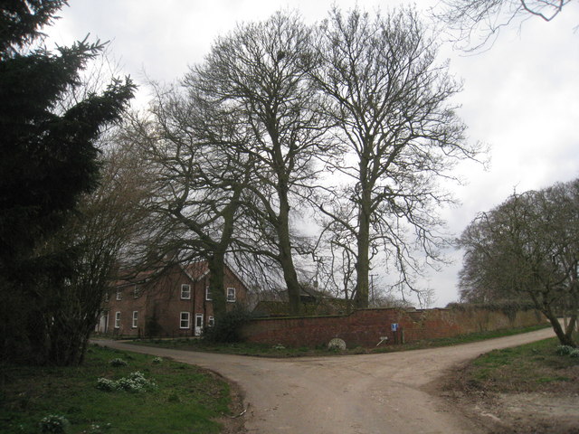
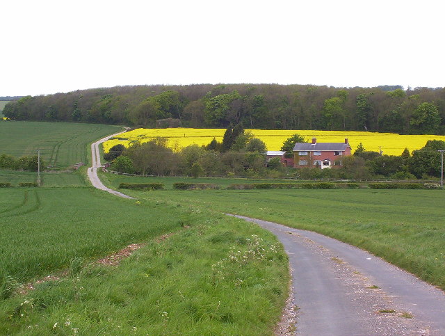
The village boasts a quaint charm, with its traditional stone-built houses and well-manicured gardens. The local architecture reflects the area's rich history, with some buildings dating back to the 17th century. Holme Wold is renowned for its well-preserved heritage, providing visitors with a glimpse into the region's past.
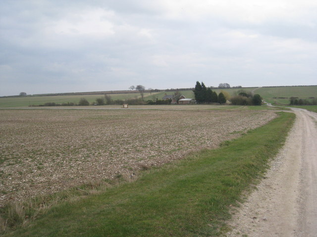
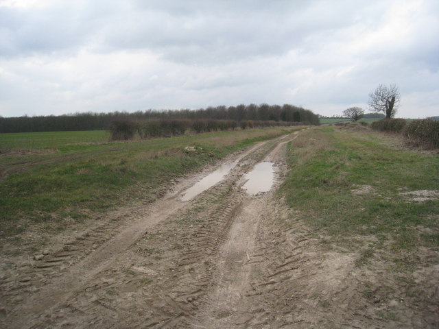
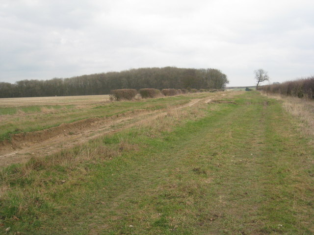
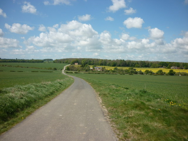
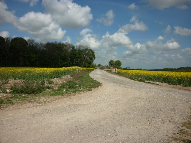
The surrounding countryside offers a wealth of natural beauty. The Yorkshire Downs provide a stunning backdrop, with rolling hills and lush green pastures as far as the eye can see. This idyllic setting is perfect for outdoor enthusiasts, who can explore the numerous walking and cycling trails that wind their way through the countryside.
Additionally, Holme Wold benefits from its close proximity to the Yorkshire Moorland, a vast expanse of heather-clad moors and dramatic rock formations. This rugged landscape offers breathtaking views and is home to a variety of wildlife, making it an ideal destination for nature lovers and birdwatchers.
Despite its rural setting, Holme Wold is conveniently located near the bustling market town of Pocklington, which offers a range of amenities including shops, cafes, and restaurants. The village also hosts various community events throughout the year, fostering a sense of camaraderie among its residents.
In conclusion, Holme Wold is a charming village nestled amidst the stunning landscapes of the Yorkshire Downs and Moorland. With its rich history, picturesque surroundings, and close-knit community, it offers a peaceful and idyllic retreat for both residents and visitors alike.
If you have any feedback on the listing, please let us know in the comments section below.
Holme Wold Images
Images are sourced within 2km of 53.905473/-0.58687371 or Grid Reference SE9246. Thanks to Geograph Open Source API. All images are credited.


Holme Wold is located at Grid Ref: SE9246 (Lat: 53.905473, Lng: -0.58687371)
Division: East Riding
Unitary Authority: East Riding of Yorkshire
Police Authority: Humberside
What 3 Words
///logic.fermented.mile. Near Lund, East Yorkshire
Nearby Locations
Related Wikis

Kiplingcotes
Kiplingcotes is a hamlet in the East Riding of Yorkshire, England. It is situated approximately 3.5 miles (6 km) north-east of the market town of Market...
Enthorpe railway station
Enthorpe railway station was a station on the Selby to Driffield Line in the East Riding of Yorkshire, England. It opened on 1 May 1890 and closed on 20...

Dalton Holme
Dalton Holme a civil parish in the East Riding of Yorkshire in England. It is situated 5 miles (8 km) to the north-west from the market town of Beverley...

Kiplingcotes railway station
Kiplingcotes railway station was a minor railway station on the York–Beverley line, in the East Riding of Yorkshire, England. It opened on 1 May 1865 and...
Nearby Amenities
Located within 500m of 53.905473,-0.58687371Have you been to Holme Wold?
Leave your review of Holme Wold below (or comments, questions and feedback).