Markham's Plantation

Downs, Moorland in Lincolnshire North Kesteven

England

Markham's Plantation

Boat House on the shore of the Fishpond, Doddington Hall estate Really just a shelter rather than a 'house'. I don't know what the wheel is for, but it might operate a hoist to lift boats out of the water.
Boat House on the shore of the Fishpond, Doddington Hall estate Credit: Humphrey Bolton

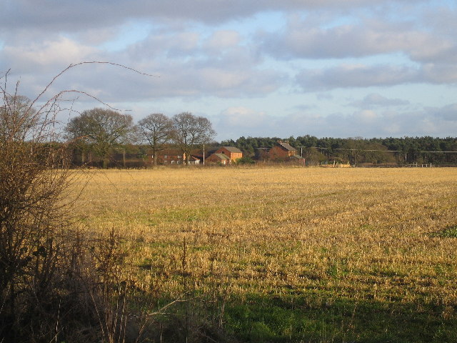
Markham's Plantation is a picturesque area located in Lincolnshire, England. Situated amidst the scenic Downs and Moorland, this plantation offers a serene and tranquil environment for visitors to enjoy.

Covering a vast expanse of land, Markham's Plantation is characterized by its lush greenery and diverse array of plant species. The plantation is home to an abundance of trees, including oak, beech, and birch, which create a dense and enchanting woodland atmosphere. The diverse range of flora found here provides a habitat for various wildlife species, making it a popular spot for nature enthusiasts and birdwatchers.

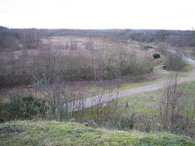
The plantation offers a network of well-maintained trails that wind through the forest, allowing visitors to explore the area’s natural beauty at their own pace. These paths provide breathtaking views of the surrounding countryside, with rolling hills and expansive moorland stretching as far as the eye can see.

Markham's Plantation also offers recreational facilities for visitors to enjoy. There are picnic areas dotted throughout the plantation, providing the perfect setting for a day out with family and friends. Additionally, the plantation features a children's play area, ensuring that younger visitors are also entertained.

Overall, Markham's Plantation is a haven for nature lovers and those seeking a peaceful retreat. With its stunning landscapes, diverse flora and fauna, and recreational amenities, it offers a truly immersive natural experience in the heart of Lincolnshire.

If you have any feedback on the listing, please let us know in the comments section below.

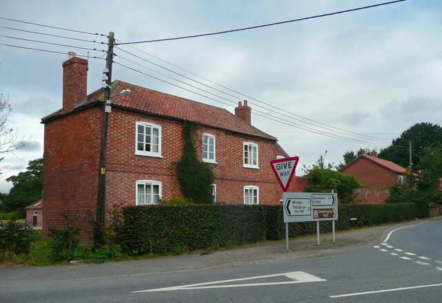
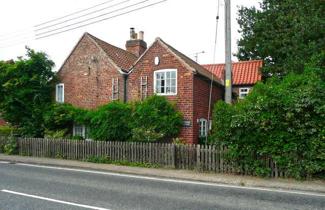
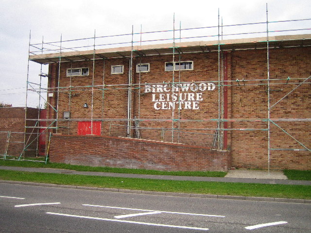
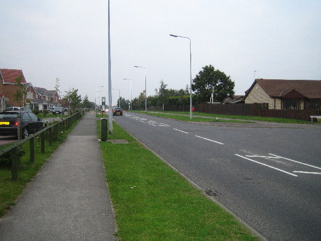
Markham's Plantation Images

Images are sourced within 2km of 53.208714/-0.62896378 or Grid Reference SK9168. Thanks to Geograph Open Source API. All images are credited.

Boat House on the shore of the Fishpond, Doddington Hall estate Really just a shelter rather than a 'house'. I don't know what the wheel is for, but it might operate a hoist to lift boats out of the water.
Boat House on the shore of the Fishpond, Doddington Hall estate
Really just a shelter rather than a 'house'. I don't know what the wheel is for, but it might operate a hoist to lift boats out of the water.
Path around the end of the Fishpond, Doddington Hall estate Plank bridges have been provided over the streams.
Path around the end of the Fishpond, Doddington Hall estate
Plank bridges have been provided over the streams.
Footbridge over the Fishpond, Doddington Hall estate The bridge is closed, presumably it is unsafe.
Footbridge over the Fishpond, Doddington Hall estate
The bridge is closed, presumably it is unsafe.
The southern part of the Fishpond, Doddington Hall estate In the centre is the little boat house, and on the right what was a changing room.
The southern part of the Fishpond, Doddington Hall estate
In the centre is the little boat house, and on the right what was a changing room.
Windmill Farm pub-restaurant, North Hykeham This is a Greene King Farmhouse Inns pub in a modern business park. There was neither a windmill nor a farm here! Taken from the third floor of the Ibis Hotel.
Windmill Farm pub-restaurant, North Hykeham
This is a Greene King Farmhouse Inns pub in a modern business park. There was neither a windmill nor a farm here! Taken from the third floor of the Ibis Hotel.
Holly Farmhouse, Doddington An early 19C farmhouse with chequer-brick walls, listed Grade II.
Holly Farmhouse, Doddington
An early 19C farmhouse with chequer-brick walls, listed Grade II.
Foresters Cottage, Doddington An 18C house, listed Grade II.
Foresters Cottage, Doddington
An 18C house, listed Grade II.
Energy plant, Whisby Road, Lincoln An energy from waste plant operated by FCC Environment and Lincolnshire County Council.
Since this photo the area in the foreground has been taken over by a car showroom.
Energy plant, Whisby Road, Lincoln
An energy from waste plant operated by FCC Environment and Lincolnshire County Council. Since this photo the area in the foreground has been taken over by a car showroom.
Teal Park Road, Lincoln The early days of a business park.
Teal Park Road, Lincoln
The early days of a business park.
Carparking at Whisby Garden Centre A field to the west of the garden centre, used as overflow parking for the business.
Carparking at Whisby Garden Centre
A field to the west of the garden centre, used as overflow parking for the business.
Former gravel pit workings Now incorporated into the landscaping around the garden centre at Whisby, this pool is a flooded  former gravel pit.
Former gravel pit workings
Now incorporated into the landscaping around the garden centre at Whisby, this pool is a flooded former gravel pit.
Field of grass east of Whisby Moor Farm
Birchwood Leisure Centre Leisure centre in the heart of Lincolns biggest housing estate.
Birchwood Leisure Centre
Leisure centre in the heart of Lincolns biggest housing estate.
Birchwood Avenue Birchwood Avenue is the main road through the largest housing estate in Lincoln. The estate was started in the early 1980's and is still being built today.
Birchwood Avenue
Birchwood Avenue is the main road through the largest housing estate in Lincoln. The estate was started in the early 1980's and is still being built today.
Pickworth's Plot Pickworth's Plot near the Grange on a frosty November morning
Pickworth's Plot
Pickworth's Plot near the Grange on a frosty November morning
Wintry scene in Doddington Trees along Whisby Road Doddington in the snow, December 2005
Wintry scene in Doddington
Trees along Whisby Road Doddington in the snow, December 2005
Whisby Nature Park North of the railway line looking south. This area of Whisby nature park still has a very industrial waste land feel to it.
Whisby Nature Park
North of the railway line looking south. This area of Whisby nature park still has a very industrial waste land feel to it.
Blackmoor Farm Blackmoor Farm near Skellingthorpe, looking south east from the corner of Gilberts plot.
Blackmoor Farm
Blackmoor Farm near Skellingthorpe, looking south east from the corner of Gilberts plot.
Show me another place!

Markham's Plantation is located at Grid Ref: SK9168 (Lat: 53.208714, Lng: -0.62896378)

Administrative County: Lincolnshire

District: North Kesteven

Police Authority: Lincolnshire

What 3 Words

///buildings.hears.chainsaw. Near Skellingthorpe, Lincolnshire

Related Wikis

Birchwood, Lincoln

Birchwood is a district and suburb of Lincoln in Lincolnshire, England. The district population in the 2021 Census was 8,932. It is located midway between...

RAF Skellingthorpe

Royal Air Force Skellingthorpe or more simply RAF Skellingthorpe is a former Royal Air Force station which was operational during the Second World War...

Jerusalem, Lincolnshire

Jerusalem is a small ribbon development in the North Kesteven district of Lincolnshire, England. It conjoined to the south of Skellingthorpe, and is part...

Whisby

Whisby is a hamlet in the civil parish of Doddington and Whisby, in the North Kesteven district of Lincolnshire, England. It is situated 5 miles (8.0 km...

Doddington, Lincolnshire

Doddington is a village in the civil parish of Doddington and Whisby in the North Kesteven district of Lincolnshire, England. The population of the civil...

Doddington Hall, Lincolnshire

Doddington Hall is, from the outside, an Elizabethan prodigy house or mansion complete with walled courtyards and a gabled gatehouse. Inside it was largely...

Hykeham railway station

Hykeham railway station serves both the town of North Hykeham and Lincoln city suburbs of Birchwood and Boultham Moor in Lincolnshire, England. The station...

Thorpe-on-the-Hill railway station

Thorpe on the Hill railway station was a station serving the village of Thorpe-on-the-Hill, Lincolnshire, England. == Opening == It was opened as Thorpe...

Nearby Amenities

Located within 500m of 53.208714,-0.62896378
The data included in this document is from www.openstreetmap.org. The data is made available under ODbL.

Have you been to Markham's Plantation?

Leave your review of Markham's Plantation below (or comments, questions and feedback).