Ambersham Common
Downs, Moorland in Sussex Chichester
England
Ambersham Common

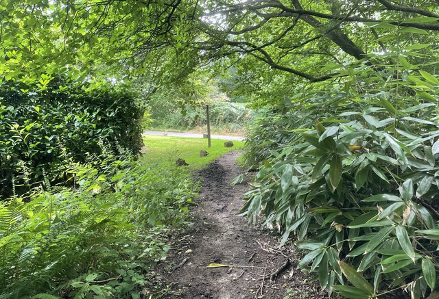
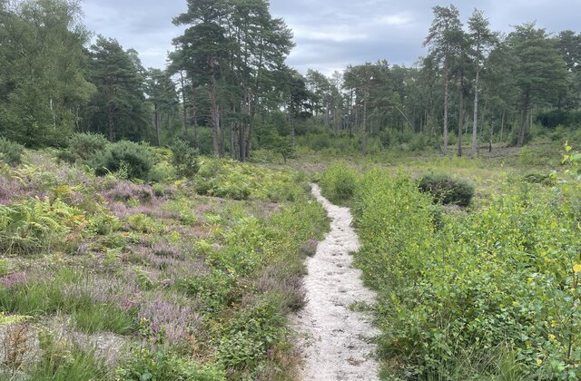
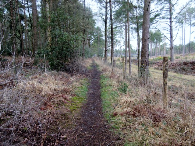
Ambersham Common is a picturesque area located in Sussex, England. Situated in the South Downs National Park, it encompasses a diverse landscape of downs, moorland, and heathland. Spanning over 80 hectares, the common is known for its outstanding natural beauty and rich biodiversity.
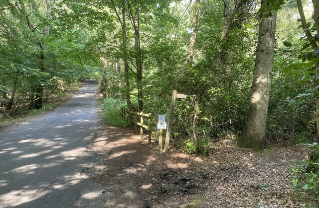
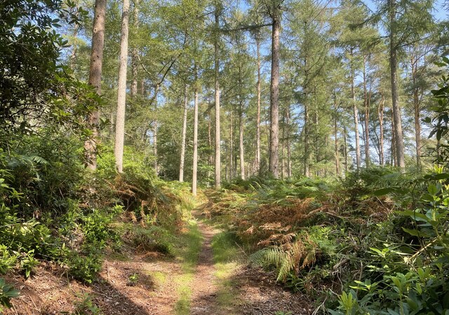
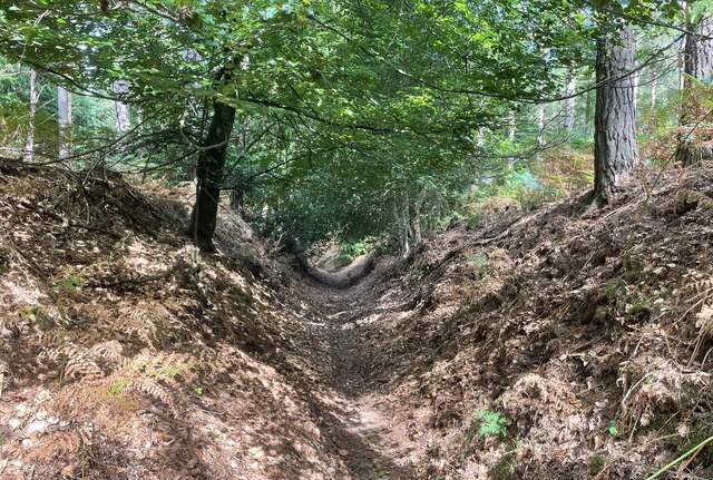
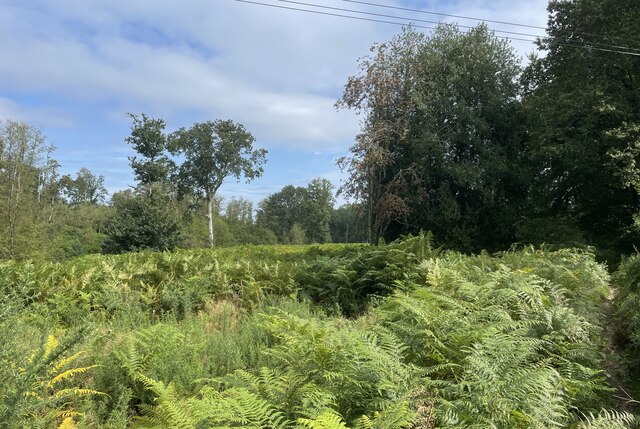
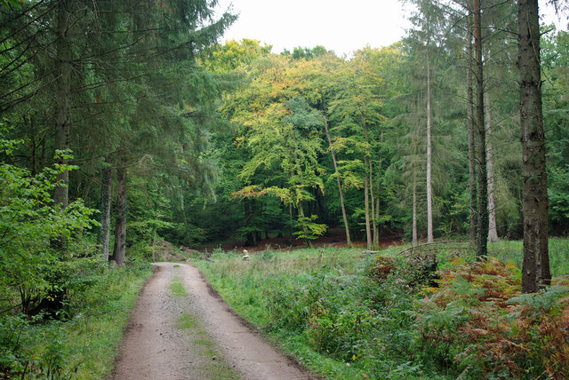
The common is characterized by rolling hills covered in lush green grass, interspersed with patches of heather and gorse. The open expanses offer breathtaking views of the surrounding countryside, with the South Downs serving as a stunning backdrop. Walking along the well-maintained paths, visitors can enjoy the tranquility of the area and appreciate the diverse flora and fauna that thrive in this unique habitat.
Ambersham Common is home to a wide variety of plant species, including rare orchids, cowslips, and bluebells, which create a vibrant tapestry of colors during the spring and summer months. The common also supports a range of wildlife, such as rabbits, foxes, and numerous bird species, including the elusive nightjar.
In addition to its natural beauty, Ambersham Common holds historical significance. The remains of ancient settlements, including Bronze Age burial mounds and Iron Age hill forts, can be found scattered across the common, providing a glimpse into the area's past.
With its stunning landscapes, abundant wildlife, and historical treasures, Ambersham Common is a must-visit destination for nature enthusiasts and history buffs alike. Whether exploring the rolling downs, admiring the vibrant heathland, or immersing oneself in the rich history of the area, a visit to Ambersham Common promises an unforgettable experience.
If you have any feedback on the listing, please let us know in the comments section below.
Ambersham Common Images
Images are sourced within 2km of 50.966945/-0.69606587 or Grid Reference SU9119. Thanks to Geograph Open Source API. All images are credited.


Ambersham Common is located at Grid Ref: SU9119 (Lat: 50.966945, Lng: -0.69606587)
Administrative County: West Sussex
District: Chichester
Police Authority: Sussex
What 3 Words
///perkily.webcams.curries. Near Midhurst, West Sussex
Nearby Locations
Related Wikis

Ambersham Common
Ambersham Common is a 141.6-hectare (350-acre) biological Site of Special Scientific Interest south-east of Midhurst in West Sussex. It is a Nature Conservation...

South Ambersham
South Ambersham is a hamlet and former civil parish, now in the parish of Graffham, in the Chichester district of West Sussex, England. It lies 0.7 miles...

Graffham Common
Graffham Common is a 38-hectare (94-acre) nature reserve between Midhurst and Petworth in West Sussex. It is owned and managed by the Sussex Wildlife...

Fernhurst (electoral division)
Fernhurst is an electoral division of West Sussex in the United Kingdom, and returns one member to sit on West Sussex County Council. == Extent == The...

Sussex Downs AONB
Sussex Downs Area of Outstanding Natural Beauty in England was designated in 1966. The designation was revoked in March 2010, together with the neighbouring...

Selham railway station
Selham railway station served the village of Selham in the county of West Sussex in England. The station was out in mostly open fields, although a public...

Selham
Selham is a small village and former civil parish, now in the parish of Graffham, in the Chichester district of West Sussex, England. It lies south of...

Graffham
Graffham is a village, Anglican parish and civil parish in West Sussex, England, situated on the northern escarpment of the South Downs within the South...
Nearby Amenities
Located within 500m of 50.966945,-0.69606587Have you been to Ambersham Common?
Leave your review of Ambersham Common below (or comments, questions and feedback).