Headington
Settlement in Oxfordshire Oxford
England
Headington

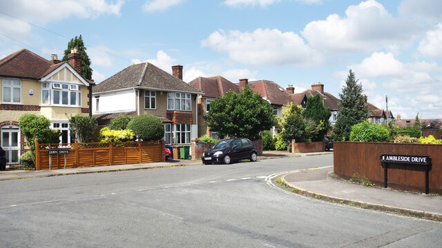
Headington is a vibrant suburb located in the eastern part of Oxford, Oxfordshire. This historic area is known for its rich cultural heritage and its close proximity to the renowned University of Oxford. With a population of around 20,000 people, Headington offers a mix of residential and commercial spaces, making it an attractive place for both locals and tourists.
Headington is home to several notable institutions, including the John Radcliffe Hospital, one of the largest teaching hospitals in the country. The presence of this esteemed medical facility has also led to the development of a thriving medical and research community in the area.
The suburb boasts excellent transport links, with regular bus services connecting it to the city center and other parts of Oxfordshire. Additionally, the recently opened Oxford Parkway railway station provides convenient access to London and other major cities.
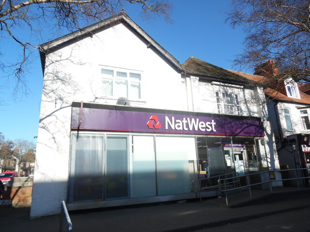
Headington offers a range of amenities to cater to its diverse population. The area features a variety of shops, supermarkets, and a bustling high street filled with cafes, restaurants, and pubs. Headington also benefits from extensive green spaces, including Bury Knowle Park and Shotover Country Park, providing residents with ample opportunities for outdoor activities and recreation.
Headington has a strong educational presence, with a number of excellent schools, both primary and secondary, serving the local community. The suburb is also home to two campuses of Oxford Brookes University, further enhancing its reputation as an educational hub.
Overall, Headington is a thriving and dynamic neighborhood that combines a rich history with modern amenities, making it a highly sought-after place to live and visit in Oxfordshire.
If you have any feedback on the listing, please let us know in the comments section below.
Headington Images
Images are sourced within 2km of 51.767567/-1.215974 or Grid Reference SP5407. Thanks to Geograph Open Source API. All images are credited.


Headington is located at Grid Ref: SP5407 (Lat: 51.767567, Lng: -1.215974)
Administrative County: Oxfordshire
District: Oxford
Police Authority: Thames Valley
What 3 Words
///almost.images.globe. Near Oxford, Oxfordshire
Nearby Locations
Related Wikis

Headington
Headington is an eastern suburb of Oxford, England. It is at the top of Headington Hill overlooking the city in the Thames valley below, and bordering...

St Andrew's Church, Headington
St Andrew's Church, Headington is a Church of England parish church in the village of Old Headington, Oxfordshire, England, now absorbed as part of the...
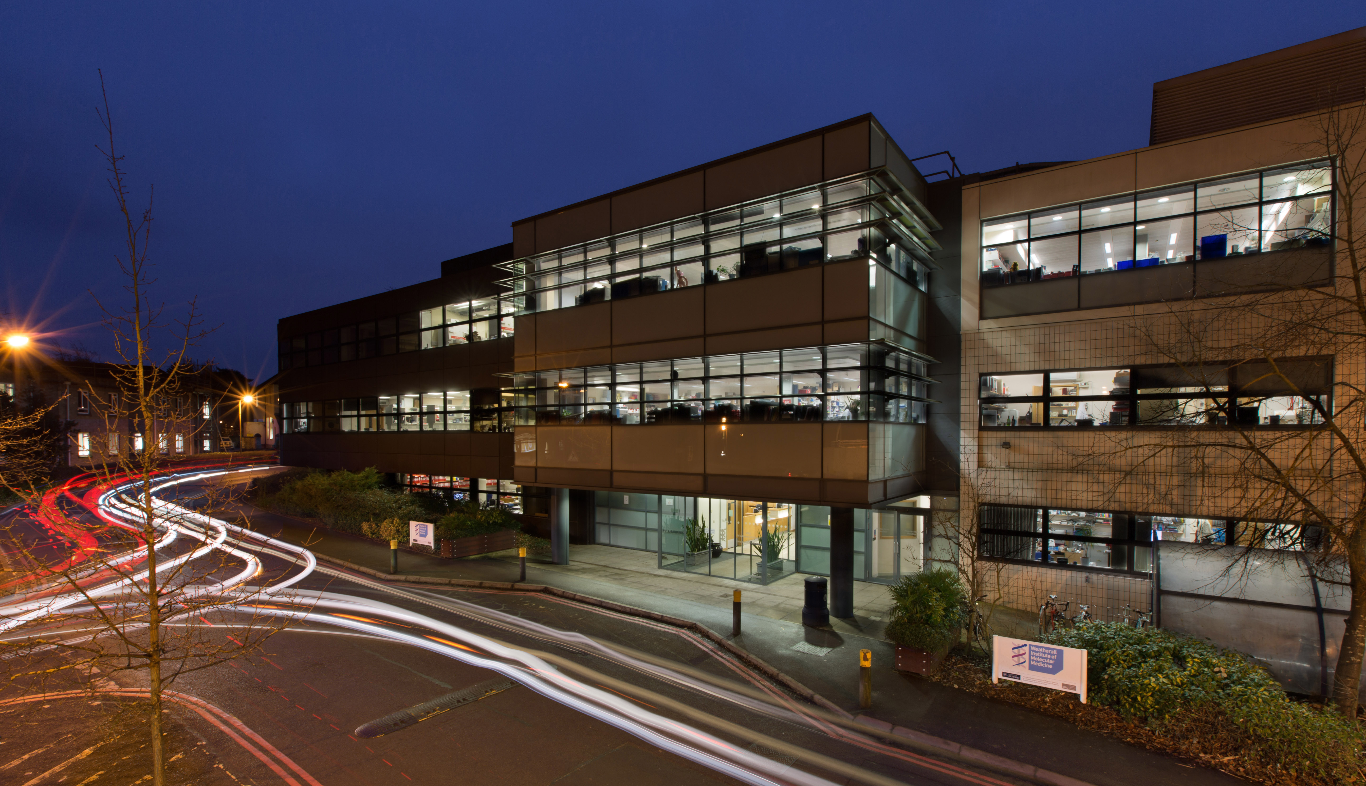
Weatherall Institute of Molecular Medicine
The MRC Weatherall Institute of Molecular Medicine at the University of Oxford is a research institute located at the John Radcliffe Hospital in Oxford...

John Radcliffe Hospital
John Radcliffe Hospital (informally known as the JR) is a large tertiary teaching hospital in Oxford, England. It forms part of Oxford University Hospitals...

Northway, Oxford
Northway is a suburban area in northeast Oxford, England, just inside the Oxford ring road. It is close to Headington Hill and with it forms a ward in...
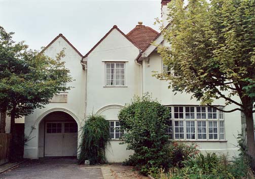
Sandfield Road
Sandfield Road is a road in the suburb of Headington, Oxford, England. It is close to the John Radcliffe Hospital. It was home to author and academic J...
A.F.C. Hinksey
A.F.C. Hinksey was an English football club in Oxford. The club last played in the Hellenic Football League Division One East, and folded in 2014. ��2...
Headington Amateurs F.C.
Headington Amateurs Football Club is a football club based in Headington, in Oxford, England. Affiliated to the Oxfordshire County Football Association...
Nearby Amenities
Located within 500m of 51.767567,-1.215974Have you been to Headington?
Leave your review of Headington below (or comments, questions and feedback).