Elstead Common
Downs, Moorland in Surrey Waverley
England
Elstead Common
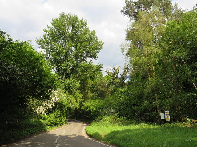
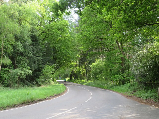
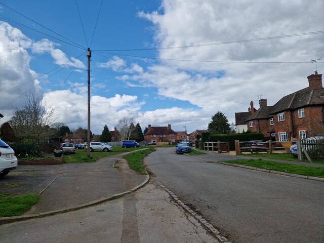
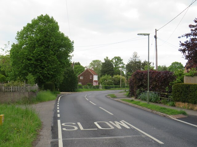
Elstead Common is a picturesque area located in Surrey, England. It is a part of the Surrey Hills Area of Outstanding Natural Beauty and covers an extensive area of downs and moorland. The common is situated near the village of Elstead and is easily accessible for visitors from nearby towns such as Farnham and Guildford.
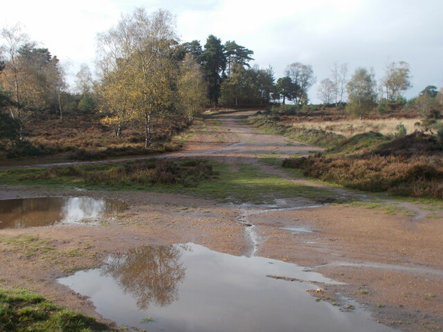
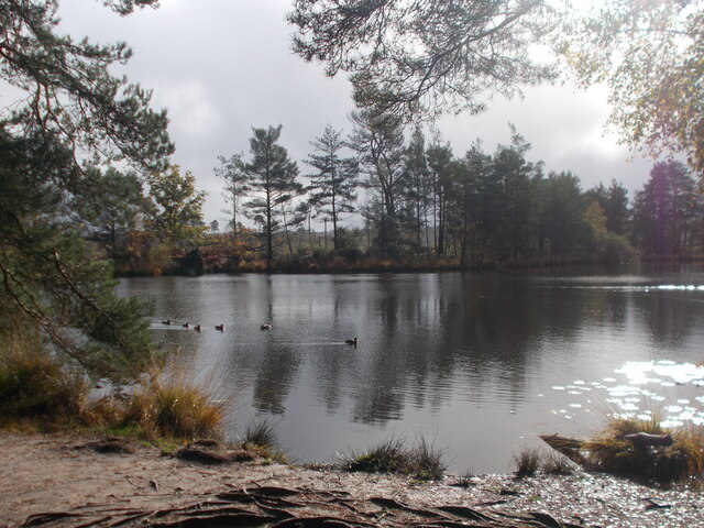
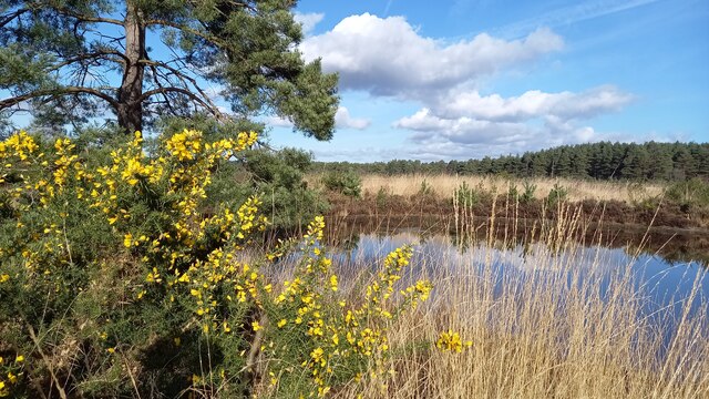
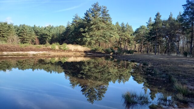
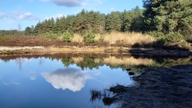
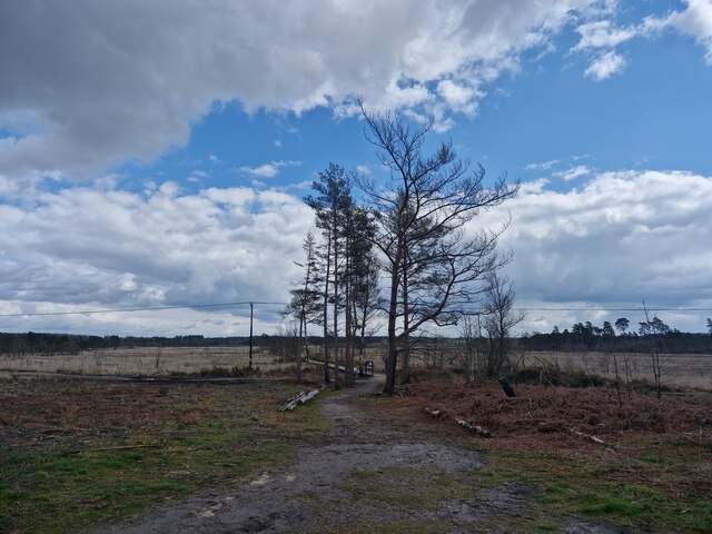
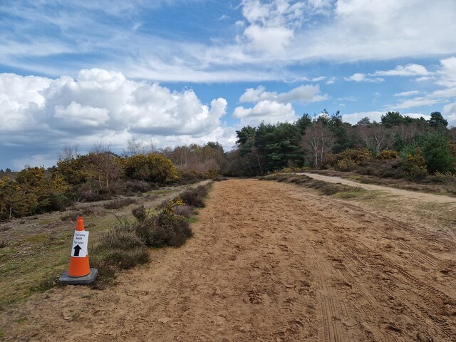
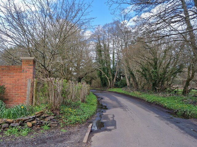
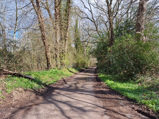
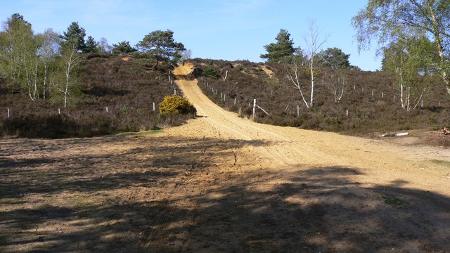
The common is characterized by its diverse landscape, featuring rolling hills, heathlands, and small streams. It is home to a wide range of flora and fauna, including heather, gorse, and various species of birds, butterflies, and insects. The area is particularly known for its vibrant display of purple heather during the summer months, creating a stunning visual spectacle.
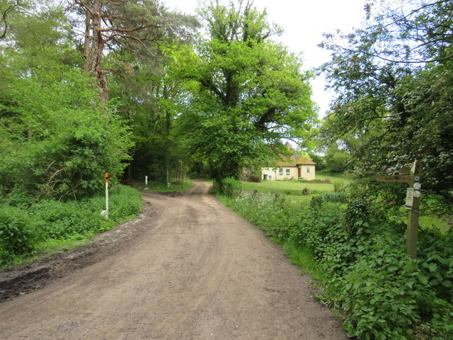
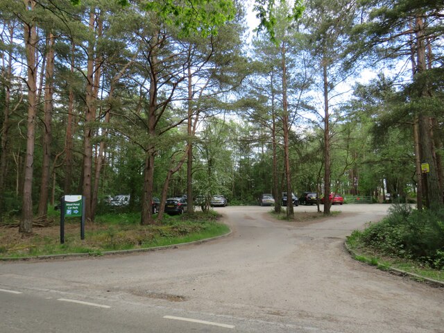
Elstead Common offers several walking trails and paths, allowing visitors to explore the natural beauty of the area. The common is also a popular spot for outdoor activities such as picnicking, birdwatching, and photography. Its peaceful ambiance and scenic views make it an ideal destination for nature enthusiasts and those seeking a tranquil escape from the bustling city life.
The common is managed by the Surrey Wildlife Trust, which ensures its conservation and protection. The trust also organizes educational programs and events to promote awareness and understanding of the local environment. Additionally, the common has a visitor center with information boards and maps to assist visitors in navigating the area.
Overall, Elstead Common is a stunning natural landscape that offers a serene and harmonious experience for those who appreciate the beauty of the English countryside.
If you have any feedback on the listing, please let us know in the comments section below.
Elstead Common Images
Images are sourced within 2km of 51.170494/-0.70671232 or Grid Reference SU9042. Thanks to Geograph Open Source API. All images are credited.


Elstead Common is located at Grid Ref: SU9042 (Lat: 51.170494, Lng: -0.70671232)
Administrative County: Surrey
District: Waverley
Police Authority: Surrey
What 3 Words
///bedding.saddens.hobbies. Near Elstead, Surrey
Nearby Locations
Related Wikis

Thursley Common
Thursley Common is a national nature reserve in Surrey, England, and has also been designated as a Ramsar wetland. It is also part of a Site of Special...

Elstead
Elstead is a civil parish in Surrey, England with shops, houses and cottages spanning the north and south sides of the River Wey; development is concentrated...

Thursley, Hankley and Frensham Commons
Thursley, Hankley and Frensham Commons is a 1,878.5-hectare (4,642-acre) biological Site of Special Scientific Interest west of Godalming in Surrey. Thursley...
Hankley Common
Hankley Common is a 560-hectare (1,400-acre) nature reserve and filming location in the south-west of Elstead in Surrey. It is owned by the Ministry of...

Elstead Group of Commons
Elstead Group of Commons is a 180-hectare (440-acre) nature reserve east of Elstead in Surrey. It is composed of Royal, Elstead and Ockley Commons, which...

Hankley Farm
Hankley Farm is a 2.4-hectare (5.9-acre) biological Site of Special Scientific Interest (SSSI) west of Elstead in Surrey.This sandy arable field has been...

Charleshill SSSI
Charleshill SSSI is a 10.1-hectare (25-acre) biological Site of Special Scientific Interest west of Elstead in Surrey. It is part of Thundry Meadows nature...

Thundry Meadows
Thundry Meadows is a 16-hectare (40-acre) nature reserve in Elstead in Surrey. It is managed by the Surrey Wildlife Trust. Part of it is Charleshill Site...
Nearby Amenities
Located within 500m of 51.170494,-0.70671232Have you been to Elstead Common?
Leave your review of Elstead Common below (or comments, questions and feedback).