Fir Plantation
Wood, Forest in Surrey Waverley
England
Fir Plantation
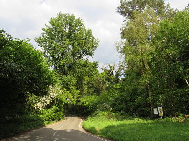
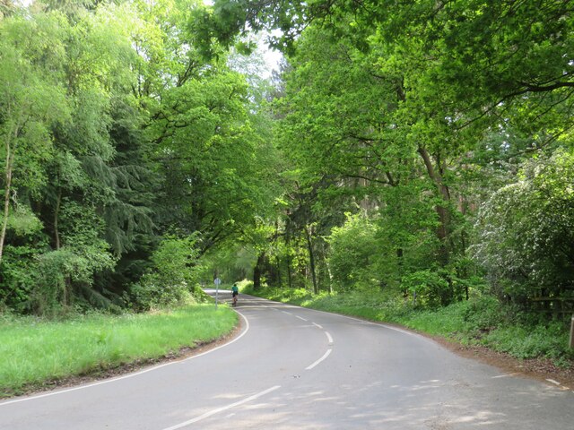
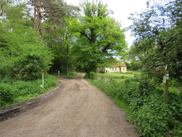
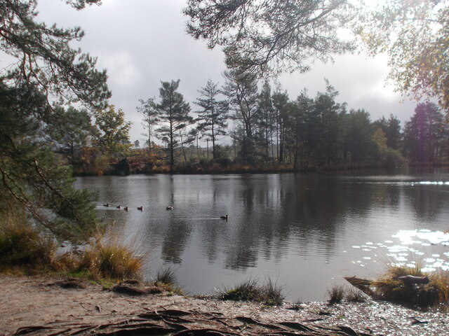
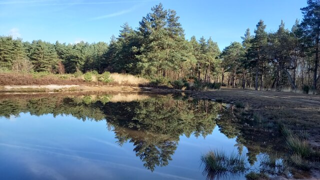
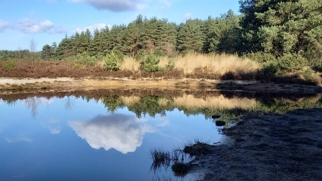
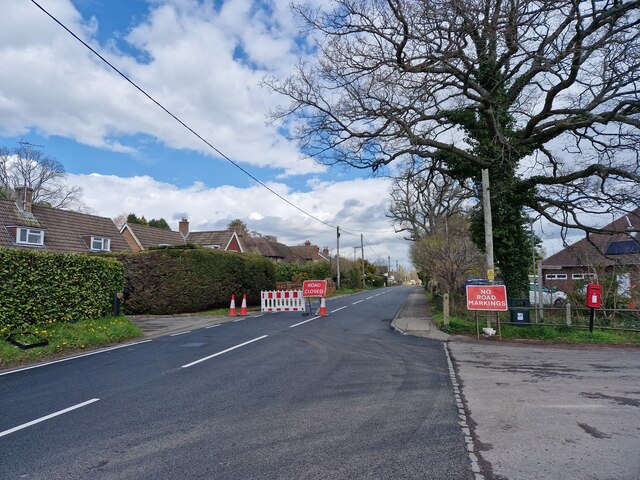
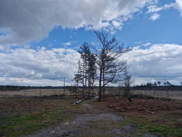
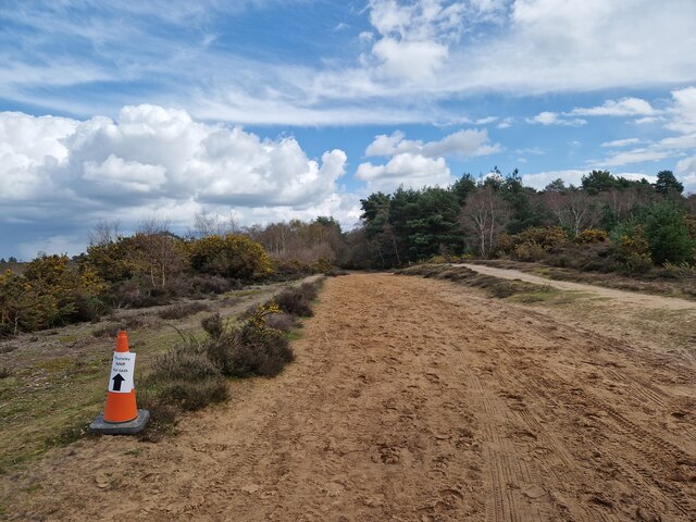
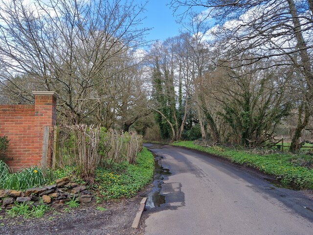
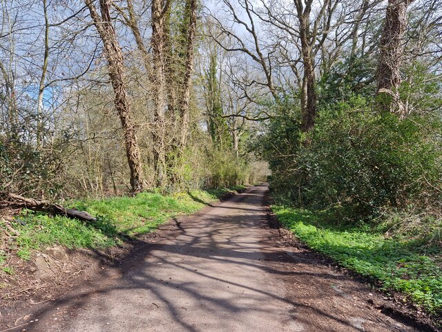
Fir Plantation, located in Surrey, England, is a stunning woodland area predominantly composed of fir trees. Situated in the southern part of the county, this enchanting forest covers a vast expanse of land, providing a peaceful and serene escape from the bustling city life.
The fir trees, scientifically known as Abies, are evergreen conifers characterized by their tall, straight trunks and dense foliage. These majestic trees dominate the landscape, creating a dense canopy that offers shade and shelter to a diverse range of flora and fauna.
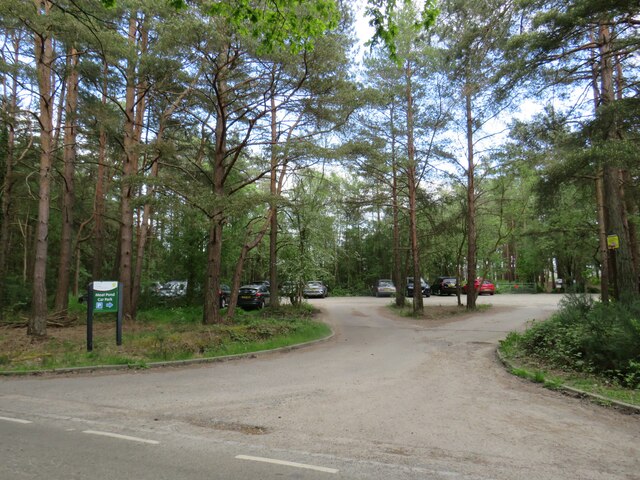
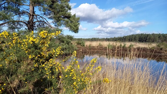
Within Fir Plantation, visitors can explore a network of well-maintained trails that wind through the forest, providing an opportunity to immerse oneself in the beauty of nature. The forest floor is adorned with a variety of wildflowers, ferns, and mosses, creating a vibrant and picturesque scene.
The woodland is home to a rich array of wildlife, including numerous bird species such as woodpeckers, nuthatches, and owls. Squirrels can often be spotted scurrying between the trees, while deer occasionally graze in the more secluded areas.
Fir Plantation is not only a haven for nature enthusiasts but also serves as an important ecological resource. The trees play a crucial role in carbon sequestration, helping to mitigate climate change. Additionally, the forest provides habitats for countless organisms, contributing to the overall biodiversity of the region.
Overall, Fir Plantation in Surrey is a captivating woodland retreat where one can experience the tranquility of nature, appreciate the beauty of fir trees, and witness the wonders of the natural world.
If you have any feedback on the listing, please let us know in the comments section below.
Fir Plantation Images
Images are sourced within 2km of 51.171451/-0.70133574 or Grid Reference SU9042. Thanks to Geograph Open Source API. All images are credited.


Fir Plantation is located at Grid Ref: SU9042 (Lat: 51.171451, Lng: -0.70133574)
Administrative County: Surrey
District: Waverley
Police Authority: Surrey
What 3 Words
///sprayer.imagined.handfuls. Near Elstead, Surrey
Nearby Locations
Related Wikis

Thursley Common
Thursley Common is a national nature reserve in Surrey, England, and has also been designated as a Ramsar wetland. It is also part of a Site of Special...

Elstead
Elstead is a civil parish in Surrey, England with shops, houses and cottages spanning the north and south sides of the River Wey; development is concentrated...

Elstead Group of Commons
Elstead Group of Commons is a 180-hectare (440-acre) nature reserve east of Elstead in Surrey. It is composed of Royal, Elstead and Ockley Commons, which...

Thursley, Hankley and Frensham Commons
Thursley, Hankley and Frensham Commons is a 1,878.5-hectare (4,642-acre) biological Site of Special Scientific Interest west of Godalming in Surrey. Thursley...

Charleshill SSSI
Charleshill SSSI is a 10.1-hectare (25-acre) biological Site of Special Scientific Interest west of Elstead in Surrey. It is part of Thundry Meadows nature...

Hankley Farm
Hankley Farm is a 2.4-hectare (5.9-acre) biological Site of Special Scientific Interest (SSSI) west of Elstead in Surrey.This sandy arable field has been...

Thundry Meadows
Thundry Meadows is a 16-hectare (40-acre) nature reserve in Elstead in Surrey. It is managed by the Surrey Wildlife Trust. Part of it is Charleshill Site...

South West Surrey (UK Parliament constituency)
South West Surrey is a constituency represented in the House of Commons of the UK Parliament. Since 2005, the seat has been represented by Conservative...
Nearby Amenities
Located within 500m of 51.171451,-0.70133574Have you been to Fir Plantation?
Leave your review of Fir Plantation below (or comments, questions and feedback).