Hazlewood

Settlement in Yorkshire Craven

England

Hazlewood

Kex Beck valley
Kex Beck valley Credit: N Chadwick

Hazlewood is a small village located in the county of Yorkshire, England. Situated approximately 6 miles north-west of the city of York, Hazlewood is nestled in the picturesque countryside, offering residents and visitors a tranquil and idyllic setting.

The village is known for its charming and quintessentially English atmosphere. It features a collection of traditional stone cottages, some of which date back several centuries, giving Hazlewood a sense of historical richness. The local church, St. Leonard's, is a notable landmark and a beautiful example of medieval architecture.

Despite its small size, Hazlewood has a strong sense of community. The village has a close-knit population, and residents often come together for various events and activities throughout the year. The local pub, The Hazlewood Arms, serves as a social hub for both residents and visitors, offering a warm and welcoming atmosphere along with a selection of traditional British pub food and drinks.

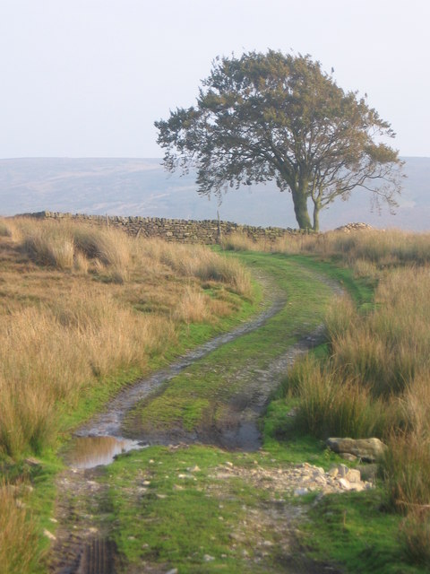
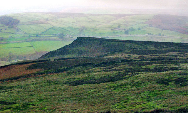
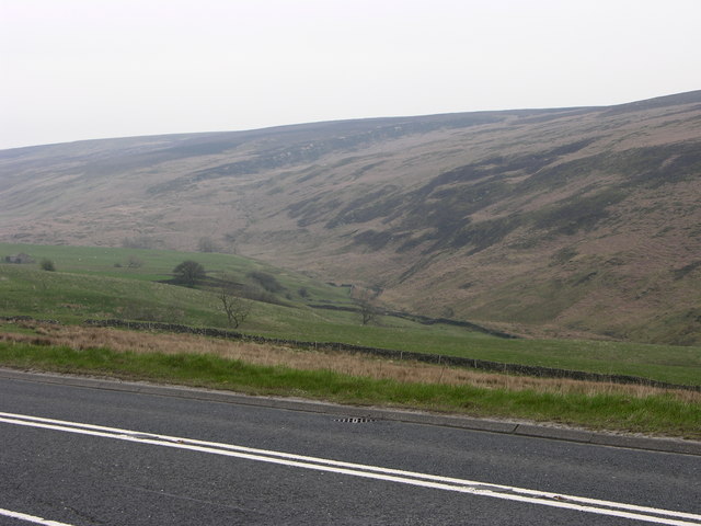
Surrounded by rolling hills and lush green fields, Hazlewood is an ideal destination for nature lovers. The village is located near the River Nidd, providing opportunities for peaceful walks along its banks or picnics in the nearby meadows. The surrounding countryside also offers numerous walking and cycling routes, allowing visitors to explore the scenic beauty of the area.

In summary, Hazlewood is a charming and peaceful village in Yorkshire, known for its historic buildings, sense of community, and beautiful natural surroundings. It is a place where residents and visitors alike can escape the hustle and bustle of modern life and enjoy a slice of rural English tranquility.

If you have any feedback on the listing, please let us know in the comments section below.
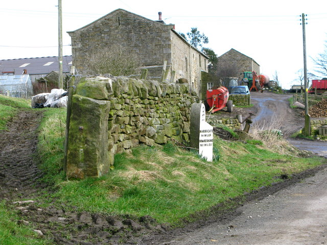
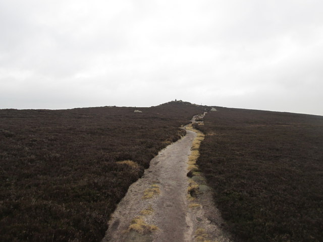
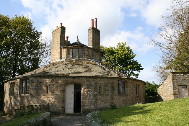
Hazlewood Images

Images are sourced within 2km of 53.97964/-1.8694433 or Grid Reference SE0853. Thanks to Geograph Open Source API. All images are credited.

Kex Beck valley
Kex Beck valley
Hey Shaw Slack The track fords the stream according to the map.
However, the track has been built up. A pipe  takes the stream beneath the track.
Hey Shaw Slack
The track fords the stream according to the map. However, the track has been built up. A pipe takes the stream beneath the track.
Little Crag, Beamsley Moor Looking North to Little Crag with Summerscales and A59 beyond.
Little Crag, Beamsley Moor
Looking North to Little Crag with Summerscales and A59 beyond.
A59 and valley near Blubberhouses Looking across the A59 to the valley of Kex Gill with the low crags of High Combs beyond.
A59 and valley near Blubberhouses
Looking across the A59 to the valley of Kex Gill with the low crags of High Combs beyond.
Milestone by the old A59 The stone was once by the Skipton to Knaresborough turnpike, which later became the A59. Now marooned on one of the loops of old road.
Milestone by the old A59
The stone was once by the Skipton to Knaresborough turnpike, which later became the A59. Now marooned on one of the loops of old road.
Old and new roads Looking downhill along the A59 [left], with the old road to the right. This section leading east from Bolton Bridge used to be a winding and tortuous ascent, but the road was re-engineered in the 1970's. Still a hazardous road with sections of three lane, whilst North Yorkshire Police are often here waiting for speeders.
Old and new roads
Looking downhill along the A59 [left], with the old road to the right. This section leading east from Bolton Bridge used to be a winding and tortuous ascent, but the road was re-engineered in the 1970's. Still a hazardous road with sections of three lane, whilst North Yorkshire Police are often here waiting for speeders.
Summerscales Farm On a loop of the old Skipton & Knaresborough Road at Summerscales.
Summerscales Farm
On a loop of the old Skipton & Knaresborough Road at Summerscales.
Gateway below Naze Nib End The gateway gives access off Beamsley Moor, offering views over the valley created by Kex Beck
Gateway below Naze Nib End
The gateway gives access off Beamsley Moor, offering views over the valley created by Kex Beck
Summit of The Old Pike North eastern end of a ridge that starts at Beamsley Beacon - best seen in its entirety from Ilkley far below in the Wharfedale valley.
Not nearly as much visited as its twin, Beamsley Beacon, it is in fact slightly superior in altitude.
Summit of The Old Pike
North eastern end of a ridge that starts at Beamsley Beacon - best seen in its entirety from Ilkley far below in the Wharfedale valley. Not nearly as much visited as its twin, Beamsley Beacon, it is in fact slightly superior in altitude.
View towards Beamsley Beacon/Old Pike Ridge Looking towards the summit ridge that separates the twin points of Beamsley Beacon to the right, and The Old Pike to the left - seen from near Pemberton Well on the wastes of Beamsley Moor.
View towards Beamsley Beacon/Old Pike Ridge
Looking towards the summit ridge that separates the twin points of Beamsley Beacon to the right, and The Old Pike to the left - seen from near Pemberton Well on the wastes of Beamsley Moor.
Gate on Track from Summerscales The track heads for Open Access on Barden Fell
Gate on Track from Summerscales
The track heads for Open Access on Barden Fell
Track from Summerscales Part of the track giving access from Summerscales onto Barden Fell.
Track from Summerscales
Part of the track giving access from Summerscales onto Barden Fell.
Lonely Tree at Hey Shaw Passed on the access track from Summerscales onto Barden Fell.
Lonely Tree at Hey Shaw
Passed on the access track from Summerscales onto Barden Fell.
Hey Shaw Pastures on the edge of the Barden Fell Open Access Area.
Hey Shaw
Pastures on the edge of the Barden Fell Open Access Area.
The Old Pike Dog leg route from car park to bag Beamsley Beacon trig and cairn on route to The Old Pike. Stunning views after a frosty November morning on this very popular family friendly hill.
Name: The Old Pike
Hill number: 108421
Height: 400m / 1312ft
Area: 35B: The Central Pennines
Class: 4
Grid ref: SE102526 (est)
Drop: 33m
Col: 367m
The Old Pike
Dog leg route from car park to bag Beamsley Beacon trig and cairn on route to The Old Pike. Stunning views after a frosty November morning on this very popular family friendly hill. Name: The Old Pike Hill number: 108421 Height: 400m / 1312ft Area: 35B: The Central Pennines Class: 4 Grid ref: SE102526 (est) Drop: 33m Col: 367m
Path between Beamsley Beacon and The Old Pike Heading towards The Old Pike
Path between Beamsley Beacon and The Old Pike
Heading towards The Old Pike
The old Pike
The old Pike
Summerscales Farm
Summerscales Farm
Show me another place!

Hazlewood is located at Grid Ref: SE0853 (Lat: 53.97964, Lng: -1.8694433)

Division: West Riding

Administrative County: North Yorkshire

District: Craven

Police Authority: North Yorkshire

What 3 Words

///blueberry.dock.managed. Near Addingham, West Yorkshire

Nearby Locations

Deerstones Hazlewood

Related Wikis

Hazlewood, North Yorkshire

Hazlewood is a hamlet in the civil parish of Hazlewood with Storiths, in the English county of North Yorkshire. Hazlewood lies to the east of the town...

Beamsley Hospital

Beamsley Hospital is an Almshouse building at Beamsley, near Skipton in North Yorkshire, and founded in 1593 by the Lady Margaret Russell, the Countess...

Hazlewood with Storiths

Hazlewood with Storiths is a civil parish in the Craven district of North Yorkshire, England. The population of the civil parish as of the 2011 census...

Bolton Abbey

Bolton Abbey Estate in Wharfedale, North Yorkshire, England, takes its name from a 12th-century Augustinian monastery of canons regular, now known as Bolton...

Nearby Amenities

Located within 500m of 53.97964,-1.8694433
Barrier: stile
Bicycle: no
Foot: yes
Material: stone
Stile: squeezer
Lat/Long: 53.9787321/-1.8711624
Hazlewood
Note: Is this really a hamlet or one large farm?
Place: hamlet
Source: NPE
Wikidata: Q5688350
Lat/Long: 53.9808143/-1.8650873
Natural: spring
Source: OS 1:25k
Lat/Long: 53.9808001/-1.8734236
Black Intake
Place: locality
Source: OS 1:25k
Lat/Long: 53.9825389/-1.8669499
Lane Side
Building: yes
Source: OS 1:25k
Lat/Long: 53.9785014/-1.8636637
Natural: spring
Source: OS 1:25k
Lat/Long: 53.9823783/-1.8732306
Natural: spring
Source: OS 1:25k
Lat/Long: 53.9834169/-1.8719536
Storiths House
Building: yes
Source: OS 1:25k
Lat/Long: 53.9824294/-1.8726969
Barrier: stile
Bicycle: no
Foot: yes
Stile: squeezer
Lat/Long: 53.9795966/-1.8695055
Crossing
Crossing Island: yes
Lat/Long: 53.9753156/-1.8678709
Natural: spring
Source: NLS-OS-NatGrid-110k-1940-60
Lat/Long: 53.9797161/-1.8670643
The data included in this document is from www.openstreetmap.org. The data is made available under ODbL.

Have you been to Hazlewood?

Leave your review of Hazlewood below (or comments, questions and feedback).