Hazlescross
Settlement in Staffordshire Staffordshire Moorlands
England
Hazlescross
Hazlescross is a small village located in the county of Staffordshire, England. Situated in the West Midlands region, it lies approximately 5 miles east of the town of Stafford. The village is nestled amidst picturesque countryside, offering residents and visitors a tranquil and scenic environment.
Hazlescross has a relatively small population, with a close-knit community that prides itself on its friendly and welcoming nature. The village is characterized by its charming, traditional buildings, many of which date back several centuries. These architectural gems add to the village's unique charm and create a sense of history and heritage.
The village is home to a few essential amenities, including a local pub, a post office, and a village hall, which serves as a gathering place for community events and activities. While Hazlescross may not offer a wide range of services within its boundaries, the nearby town of Stafford provides residents with access to a broader array of amenities, including supermarkets, schools, healthcare facilities, and recreational opportunities.
Hazlescross's rural location also makes it an ideal destination for those seeking outdoor activities and exploration. The surrounding countryside boasts beautiful walking trails, cycling routes, and ample opportunities for nature enthusiasts to enjoy the local flora and fauna.
In summary, Hazlescross is a charming and peaceful village in Staffordshire, known for its friendly community, traditional architecture, and its idyllic rural setting.
If you have any feedback on the listing, please let us know in the comments section below.
Hazlescross Images
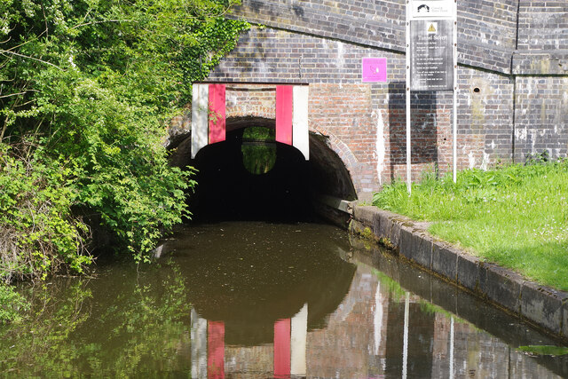
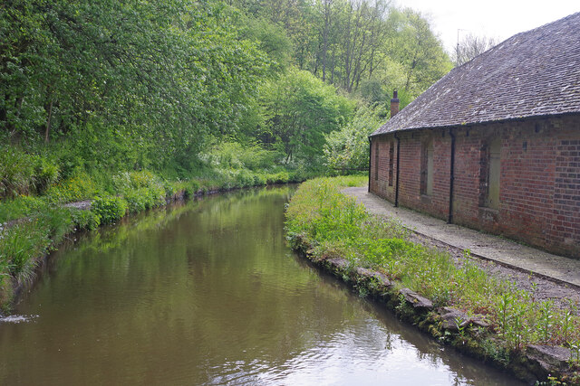
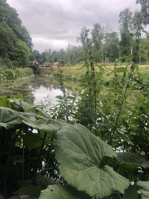
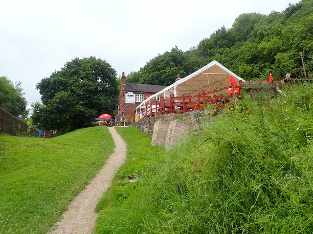
Images are sourced within 2km of 53.026931/-1.994003 or Grid Reference SK0047. Thanks to Geograph Open Source API. All images are credited.
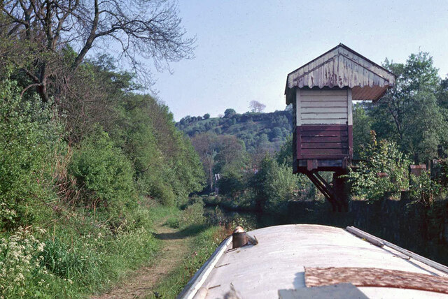
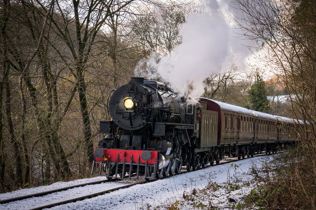
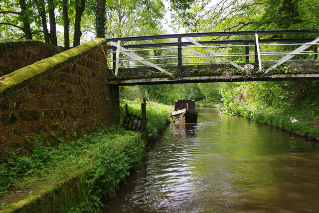

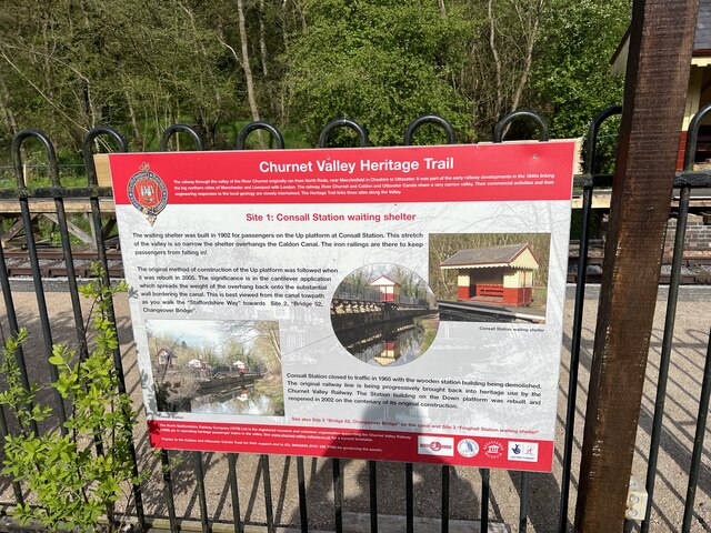
![Consall Station from the Caldon Canal towpath A preserved railway line near Leek in Staffordshire, running from Froghall up the valley to Cheddleton with one intermediate stop at Consall, and (since 2011) on an extension to a former quarry at Cauldon Low, where as of 2012 there is no station. The society has plans to connect to the national network at Stoke-on-Trent.
The lines were originally constructed by the North Staffordshire Railway (the &quot;Knotty&quot;). According to one writer, &quot;the buildings on the Churnet Valley line are of local stone, straightforwardly neo-Tudor, and effective&quot; [Lloyd &amp; Insall, &quot;Railway Station Architecture&quot;, David &amp; Charles 1978, p.17].](https://s1.geograph.org.uk/geophotos/07/51/43/7514373_0f9ef3fb.jpg)
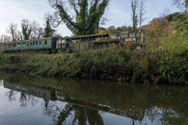
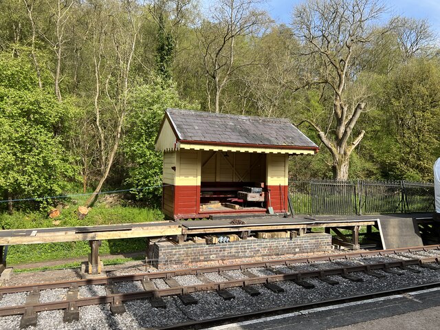
![Consall Station A preserved railway line near Leek in Staffordshire, running from Froghall up the valley to Cheddleton with one intermediate stop at Consall, and (since 2011) on an extension to a former quarry at Cauldon Low, where as of 2012 there is no station. The society has plans to connect to the national network at Stoke-on-Trent.
The lines were originally constructed by the North Staffordshire Railway (the &quot;Knotty&quot;). According to one writer, &quot;the buildings on the Churnet Valley line are of local stone, straightforwardly neo-Tudor, and effective&quot; [Lloyd &amp; Insall, &quot;Railway Station Architecture&quot;, David &amp; Charles 1978, p.17].](https://s0.geograph.org.uk/geophotos/07/66/70/7667004_978b380e.jpg)
Hazlescross is located at Grid Ref: SK0047 (Lat: 53.026931, Lng: -1.994003)
Administrative County: Staffordshire
District: Staffordshire Moorlands
Police Authority: Staffordshire
What 3 Words
///nosedive.lashed.employ. Near Cheadle, Staffordshire
Nearby Locations
Related Wikis

Kingsley, Staffordshire
Kingsley is a small village in the Staffordshire Moorlands near to Cheadle, and situated on the A52 from Stoke on Trent to Ashbourne. The civil parish...

Consall railway station
Consall railway station is a former passenger railway station of the North Staffordshire Railway (NSR) and is now a preserved station on the Churnet Valley...

Froghall
Froghall is a village situated approximately ten miles to the east of Stoke-on-Trent and two miles north of Cheadle in Staffordshire, England. Population...

Uttoxeter Canal
The Uttoxeter Canal was a thirteen-mile extension of the Caldon Canal running from Froghall as far as Uttoxeter in Staffordshire, England. It was authorised...

Kingsley and Froghall railway station
Kingsley and Froghall is a former railway station of the North Staffordshire Railway (NSR) that is now preserved on the Churnet Valley Railway in Staffordshire...

Consall
Consall is a small village situated in the Staffordshire Moorlands, Staffordshire, England. It is approximately 6 miles south of the market town of Leek...
Above Church
Above Church is a hamlet about 0.6 kilometers (0.4 mi) northwest of Ipstones in the English county of Staffordshire. It is located at grid reference SK016504...

Harston Wood
Harston Wood is a nature reserve of the Staffordshire Wildlife Trust. It is an ancient woodland, adjacent to the village of Froghall, near Cheadle, Staffordshire...
Nearby Amenities
Located within 500m of 53.026931,-1.994003Have you been to Hazlescross?
Leave your review of Hazlescross below (or comments, questions and feedback).