Hazelton
Settlement in Gloucestershire Cotswold
England
Hazelton
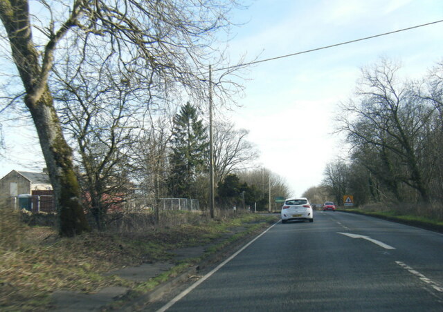
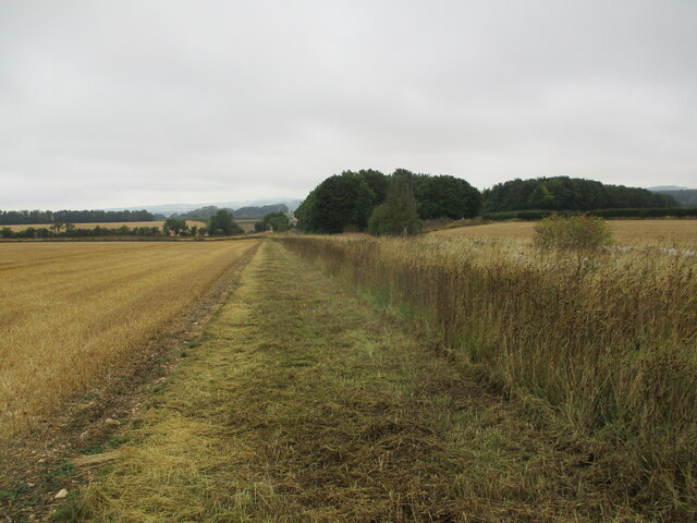
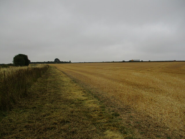
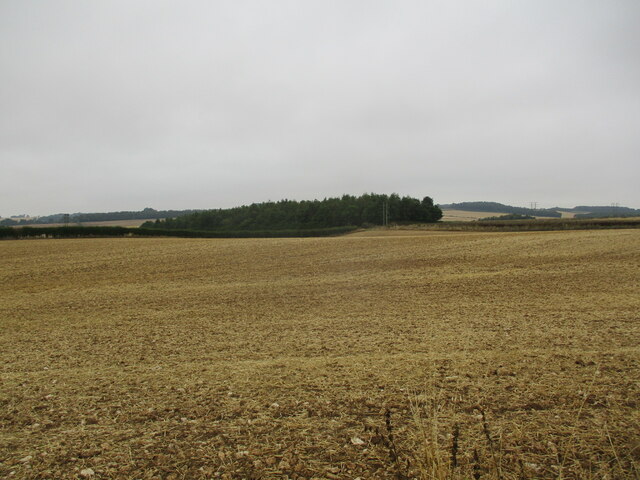
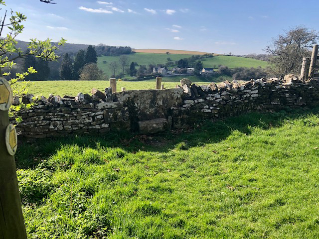
Hazelton is a small village located in the county of Gloucestershire, England. Situated in the picturesque Cotswolds region, it is surrounded by rolling hills, lush green fields, and charming countryside landscapes. The village is nestled approximately 10 miles south-west of the historic town of Cheltenham and 15 miles north-east of Gloucester.
With a population of around 500 residents, Hazelton has a close-knit community that exudes a welcoming and friendly atmosphere. The village is predominantly residential, consisting of traditional stone cottages and a few modern houses. The architecture reflects the quintessential English village aesthetic, with its thatched roofs and floral gardens.
Despite its small size, Hazelton offers a range of amenities for its residents. The village has a well-maintained village hall that serves as a hub for various community events and gatherings. There is also a local primary school, providing education for the younger population. Additionally, a quaint village pub offers a place for locals and visitors alike to socialize and enjoy traditional British cuisine.
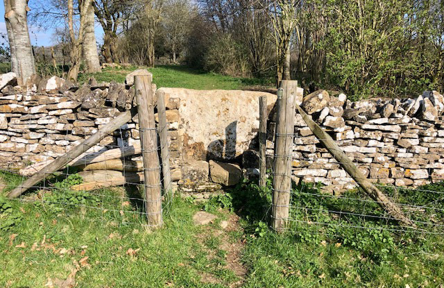
The surrounding countryside provides ample opportunities for outdoor activities and leisure pursuits. Numerous walking and cycling trails crisscross the area, allowing residents to explore the idyllic countryside and take in the stunning views. The nearby Cotswolds Area of Outstanding Natural Beauty offers further recreational opportunities, such as horse riding and birdwatching.
Overall, Hazelton presents a charming and peaceful village setting, making it an ideal place for those seeking a tranquil rural lifestyle within easy reach of larger towns and cities.
If you have any feedback on the listing, please let us know in the comments section below.
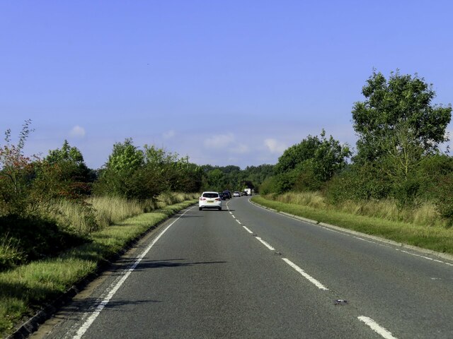
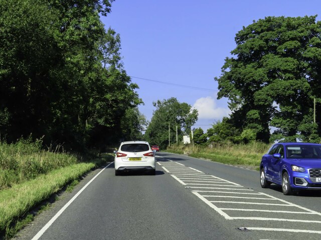
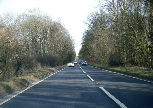
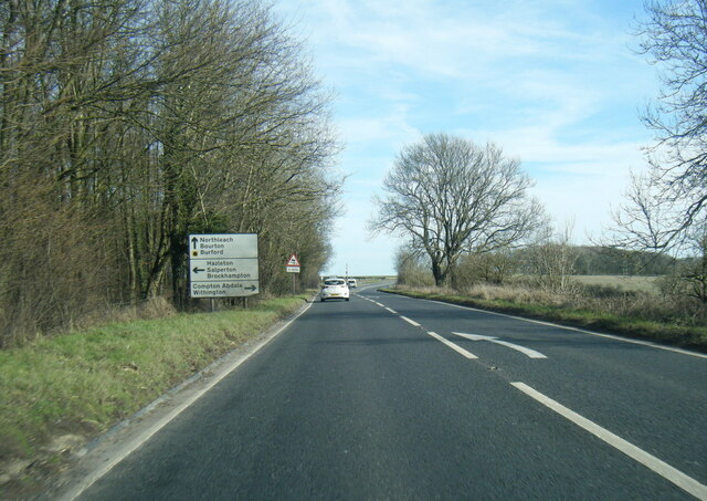
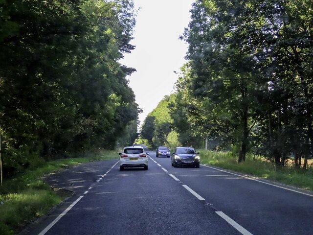
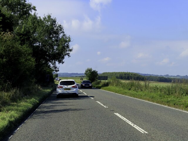
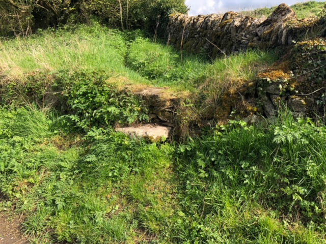
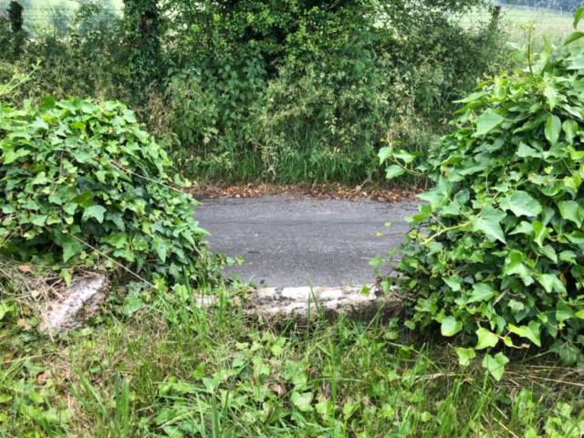
Hazelton Images
Images are sourced within 2km of 51.860542/-1.8997581 or Grid Reference SP0718. Thanks to Geograph Open Source API. All images are credited.
Hazelton is located at Grid Ref: SP0718 (Lat: 51.860542, Lng: -1.8997581)
Administrative County: Gloucestershire
District: Cotswold
Police Authority: Gloucestershire
What 3 Words
///sharper.title.downcast. Near Westfield, Gloucestershire
Nearby Locations
Related Wikis

Hazleton, Gloucestershire
Hazleton or Haselton is a village and civil parish in the Cotswold District of Gloucestershire, England. The population of the civil parish in the 2011...

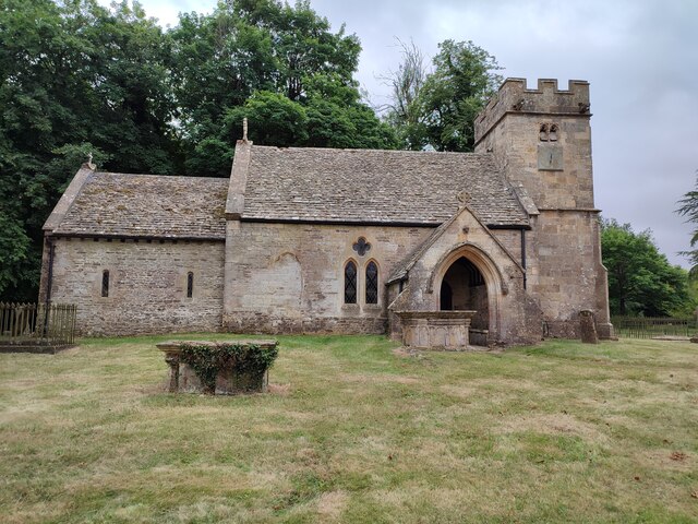
Hazleton Abbey
Hazleton Abbey was an abbey at Hazleton in Gloucestershire, England. It was formed in the 12th century. Monks from Kingswood Abbey bought the land after...

Compton Abdale
Compton Abdale is a small village in Gloucestershire, England on the Roman "White Way" which ran North from Cirencester ("Corinium.") The village lies...
Hampen Railway Cutting
Hampen Railway Cutting (grid reference SP062205) is a 3.9-hectare (9.6-acre) geological Site of Special Scientific Interest in Gloucestershire, notified...

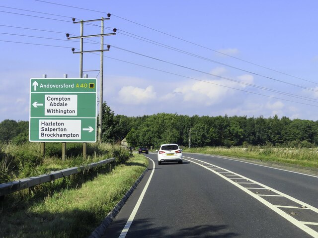
Salperton
Salperton is a village and former civil parish, now in the parish of Hazleton, in the Cotswolds about 8 miles (13 km) east of Cheltenham in Gloucestershire...

Shipton, Gloucestershire
The twin villages of Shipton Oliffe and Shipton Solars are situated just 7 miles (11 km) from Cheltenham. The River Coln, just a small stream at this point...
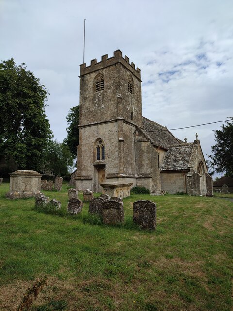
Church of St Oswald, Shipton Oliffe
The Anglican Church of St Oswald at Shipton Oliffe in Shipton in the Cotswold District of Gloucestershire, England was built in the 12th century. It is...
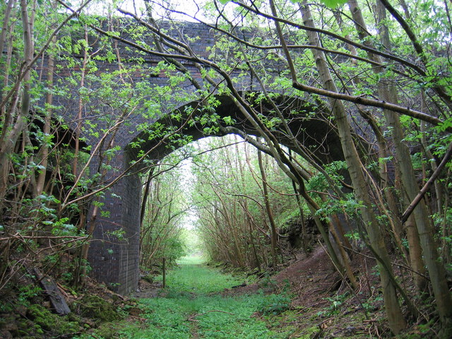
Notgrove Railway Cutting
Notgrove Railway Cutting (grid reference SP086209) is a 1.7-hectare (4.2-acre) geological Site of Special Scientific Interest in Gloucestershire, notified...
Nearby Amenities
Located within 500m of 51.860542,-1.8997581Have you been to Hazelton?
Leave your review of Hazelton below (or comments, questions and feedback).