West Field

Downs, Moorland in Yorkshire Ryedale

England

West Field

Rillington, High Street, 'top end' Three triangular cement 'buttresses' can be seen supporting the lowest floor of the large house. The terrace was demolished in the late 60s / early 70s.
Rillington, High Street, 'top end' Credit: Leanmeanmo

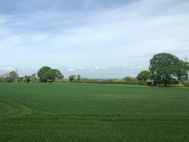
West Field is a picturesque region located in Yorkshire, England. Known for its stunning landscapes, it is primarily characterized by its expansive downs and moorland. The area is a haven for nature enthusiasts, offering a diverse range of flora and fauna.

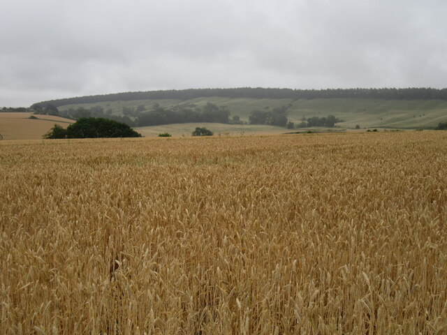
The downs of West Field boast lush green meadows, gently rolling hills, and breathtaking panoramic views. These open spaces provide an idyllic setting for outdoor activities such as hiking, picnicking, and horseback riding. Visitors can immerse themselves in the tranquil atmosphere and enjoy the beauty of the surrounding countryside.

The moorland in West Field is equally captivating, with vast stretches of heather-covered hills and peat bogs. This unique ecosystem supports various rare plant species, including cotton grass and bilberry, creating a vibrant tapestry of colors throughout the year. The moorland is also home to a diverse array of wildlife, including birds of prey such as kestrels and buzzards, as well as smaller mammals like hares and stoats.

In addition to its natural beauty, West Field has a rich history and is dotted with ancient monuments and archaeological sites. Stone circles, burial mounds, and remnants of old settlements offer glimpses into the area's past, providing a fascinating insight into the lives of its early inhabitants.

Overall, West Field is a captivating region that appeals to both nature lovers and history enthusiasts. Its downs and moorland, combined with its rich heritage, make it a truly remarkable destination for anyone seeking to explore the beauty of Yorkshire.

If you have any feedback on the listing, please let us know in the comments section below.
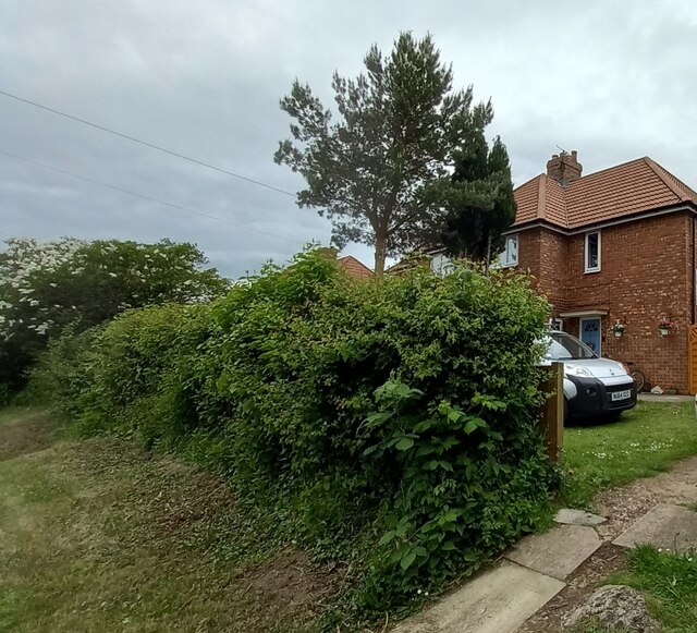
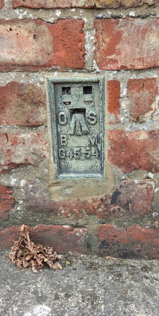
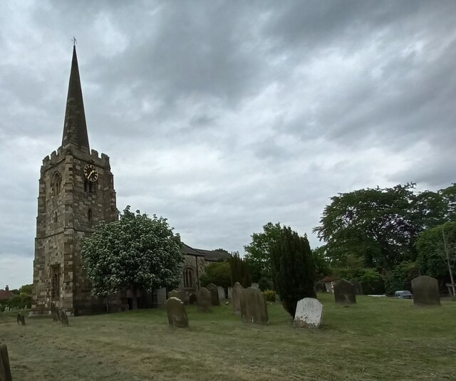
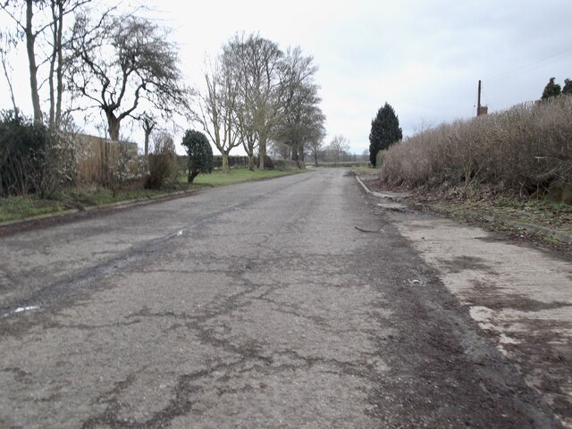
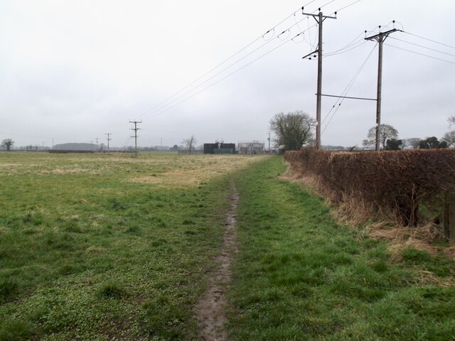
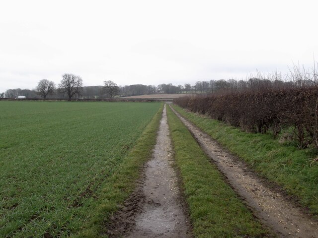
West Field Images

Images are sourced within 2km of 54.154987/-0.70634757 or Grid Reference SE8474. Thanks to Geograph Open Source API. All images are credited.

Rillington, High Street, 'top end' Three triangular cement 'buttresses' can be seen supporting the lowest floor of the large house. The terrace was demolished in the late 60s / early 70s.
Rillington, High Street, 'top end'
Three triangular cement 'buttresses' can be seen supporting the lowest floor of the large house. The terrace was demolished in the late 60s / early 70s.
Rillington, 2 Woodlands Road The benchmark is cut into the brick wall facing the road, and to the left of the wooden garden gate.
Rillington, 2 Woodlands Road
The benchmark is cut into the brick wall facing the road, and to the left of the wooden garden gate.
Rillington, 2 Woodlands Road There is a benchmark cut into the brick wall facing the road, and to the left of the wooden garden gate.
Rillington, 2 Woodlands Road
There is a benchmark cut into the brick wall facing the road, and to the left of the wooden garden gate.
Rillington village hall The OS Flush Bracket G4554 is embedded into the north facing wall of the village hall.
Rillington village hall
The OS Flush Bracket G4554 is embedded into the north facing wall of the village hall.
Rillington village hall The village hall is beyond the traffic lights in the middle of the picture. The OS Flush Bracket G4554 is embedded into the north facing wall of the village hall.
Rillington village hall
The village hall is beyond the traffic lights in the middle of the picture. The OS Flush Bracket G4554 is embedded into the north facing wall of the village hall.
Rillington, St Andrew's church The benchmark is cut into the south face of the church tower.
Rillington, St Andrew's church
The benchmark is cut into the south face of the church tower.
Rillington, St Andrew's church There is a benchmark cut into the south face of the church tower.
Rillington, St Andrew's church
There is a benchmark cut into the south face of the church tower.
Farmland at Scagglethorpe Moor
Farmland at West Moor beside the York - Scarborough Railway
Fields beside Ivy lea Farm
Ivy Lea farm
Ivy Lea farm
Bardales Looking SE across the large field called Bardales.
Bardales
Looking SE across the large field called Bardales.
Near Thorpe Bassett Looking south from The Outgang.
Near Thorpe Bassett
Looking south from The Outgang.
Thorpe Bassett church The church in Thorpe Bassett.
Thorpe Bassett church
The church in Thorpe Bassett.
The old A64 at Scagglethorpe
Public footpath, Thorpe Bassett
Path towards the sewage works
Field track, West field
Show me another place!

West Field is located at Grid Ref: SE8474 (Lat: 54.154987, Lng: -0.70634757)

Division: East Riding

Administrative County: North Yorkshire

District: Ryedale

Police Authority: North Yorkshire

What 3 Words

///seriously.polite.quote. Near Rillington, North Yorkshire

Nearby Locations

West Field

Related Wikis

Rillington

Rillington is a village and civil parish in North Yorkshire, England. Rillington was mentioned in the Domesday Survey in 1086 and rural life was relatively...

Rillington railway station

Rillington railway station (Rillington Junction until 1890) was a railway station serving the village of Rillington in North Yorkshire, England and on...

All Saints Church, Thorpe Bassett

All Saints Church is in the village of Thorpe Bassett, North Yorkshire, England. It is an active Anglican parish church in the deanery of Southern Ryedale...

Thorpe Bassett

Thorpe Bassett is a village and civil parish in North Yorkshire, England. It is located between York and Scarborough in the North East of England. Surrounded...

Nearby Amenities

Located within 500m of 54.154987,-0.70634757
Bus Stop
Lat/Long: 54.1556258/-0.7008878
Post Box
Collection Times: Mo-Fr 09:00; Sa 07:00
Post Box Type: lamp
Ref: YO17 123
Royal Cypher: EIIR
Royal Cypher Wikidata: Q33102113
Lat/Long: 54.1556358/-0.7004823
The data included in this document is from www.openstreetmap.org. The data is made available under ODbL.

Have you been to West Field?

Leave your review of West Field below (or comments, questions and feedback).