Eastoft Moor
Downs, Moorland in Yorkshire
England
Eastoft Moor
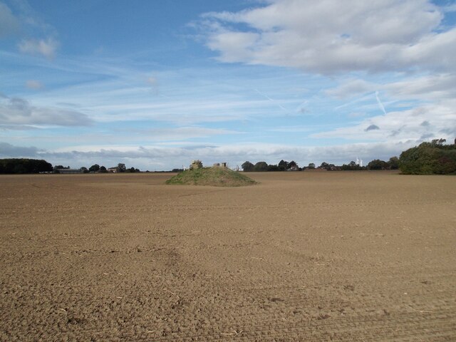
Eastoft Moor is a picturesque area located in the county of Yorkshire, England. Spread across vast expanses of downs and moorland, it is renowned for its natural beauty and captivating landscapes. Situated near the village of Eastoft, the moor encompasses an area of approximately 300 acres.
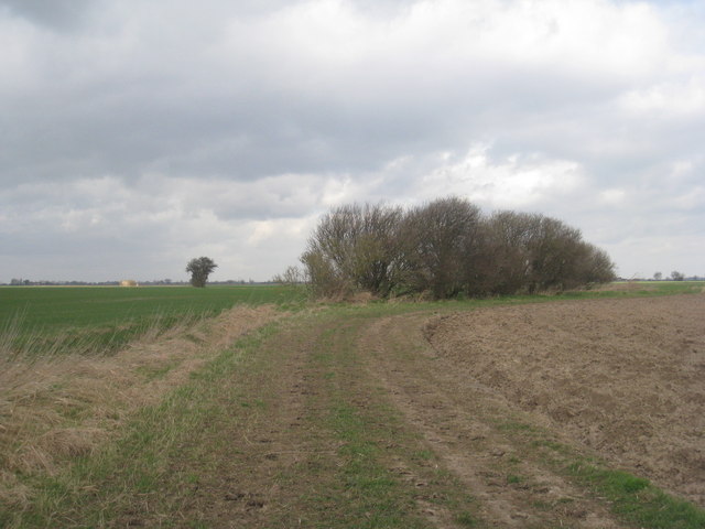
The terrain of Eastoft Moor is characterized by undulating hills, heather-covered moorland, and patches of dense woodland. The area is abundant in diverse flora and fauna, making it a haven for nature enthusiasts and wildlife lovers. Visitors to the moor can expect to encounter various bird species, including skylarks, lapwings, and curlews, as well as small mammals such as hares and stoats.
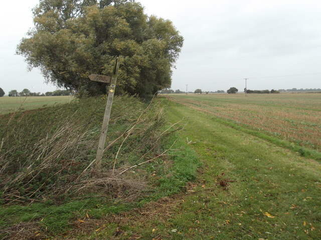
The moor also boasts a rich archaeological history, with evidence of prehistoric settlements and burial mounds scattered throughout the area. Ancient tracks and pathways crisscross the landscape, providing a glimpse into the region's past.
Eastoft Moor offers visitors numerous recreational opportunities. Hiking and walking trails meander through the moor, allowing visitors to explore its stunning vistas and hidden corners. The area is also popular for birdwatching and photography, with its unspoiled natural beauty providing the perfect backdrop for capturing memorable moments.
Overall, Eastoft Moor is a captivating destination that showcases the beauty of Yorkshire's downs and moorlands. Its diverse ecosystems, ancient history, and recreational opportunities make it a must-visit location for nature lovers and those seeking tranquility amidst breathtaking surroundings.
If you have any feedback on the listing, please let us know in the comments section below.
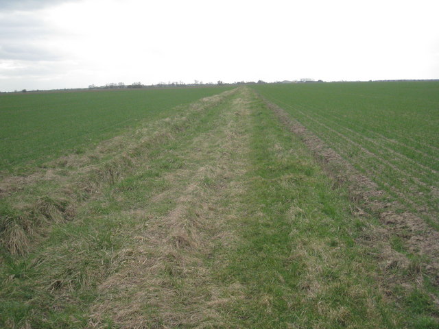
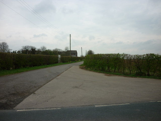
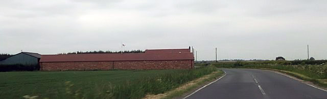
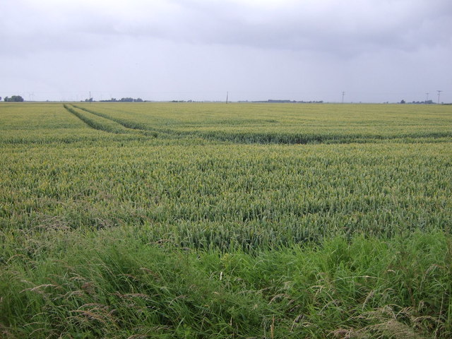
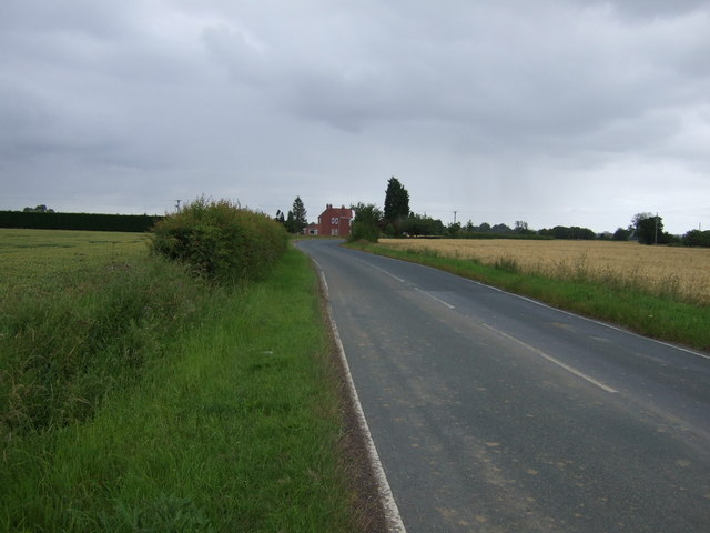
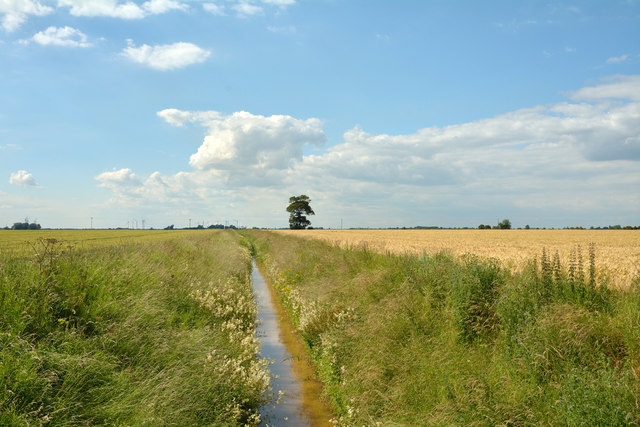
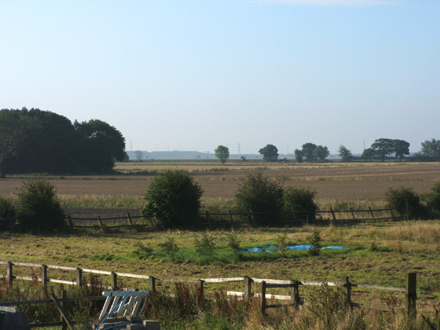
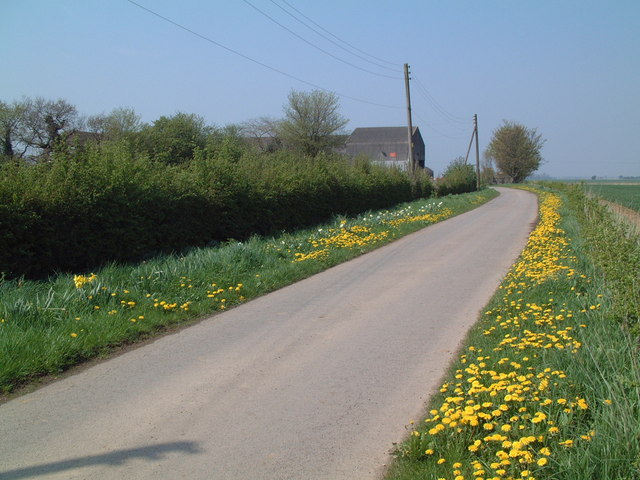
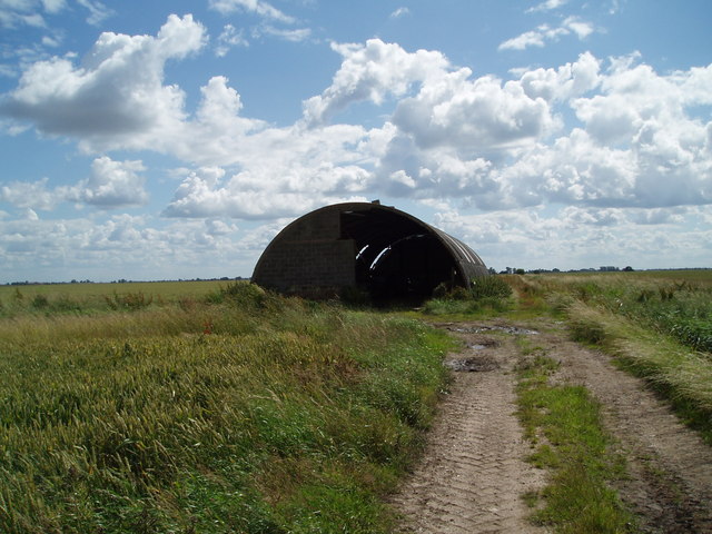
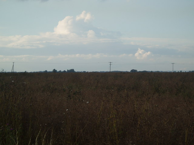
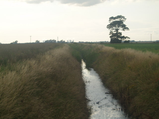
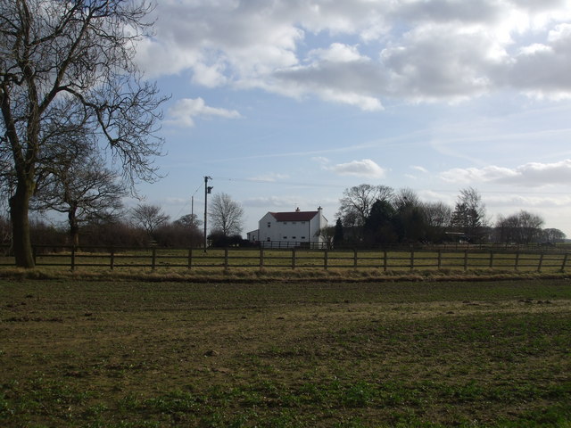
Eastoft Moor Images
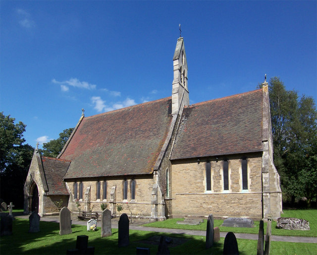
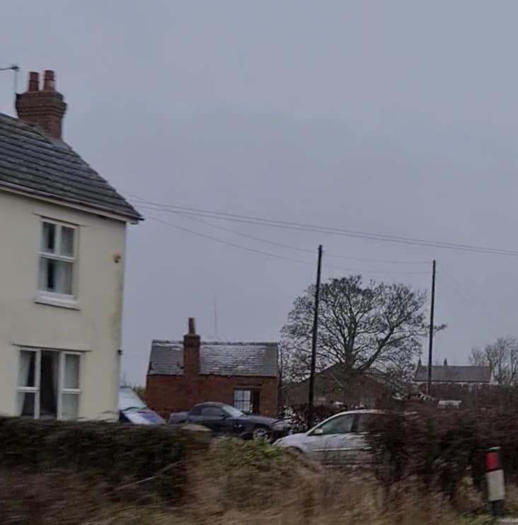
Images are sourced within 2km of 53.641778/-0.78784346 or Grid Reference SE8016. Thanks to Geograph Open Source API. All images are credited.


Eastoft Moor is located at Grid Ref: SE8016 (Lat: 53.641778, Lng: -0.78784346)
Division: West Riding
Unitary Authority: North Lincolnshire
Police Authority: Humberside
What 3 Words
///plots.impulsive.fatigued. Near Eastoft, Lincolnshire
Nearby Locations
Related Wikis
Eastoft
Eastoft is a village and civil parish in North Lincolnshire, England. It is situated within the Isle of Axholme, 3 miles (5 km) north-east from Crowle...
Eastoft railway station
Eastoft railway station was a station in Eastoft, Lincolnshire on the Axholme Joint Railway. == History == The station was opened on 10 August 1903 when...

Luddington railway station
Luddington railway station was a station in Luddington, Lincolnshire on the Axholme Joint Railway branch to Fockerby. == References ==
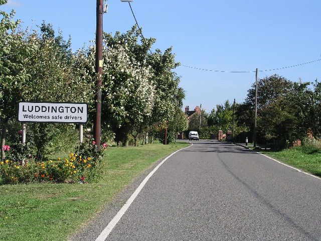
Luddington, Lincolnshire
Luddington is a village and former civil parish, now in the parish of Luddington with Haldenby, on the Isle of Axholme in the North Lincolnshire district...
Nearby Amenities
Located within 500m of 53.641778,-0.78784346Have you been to Eastoft Moor?
Leave your review of Eastoft Moor below (or comments, questions and feedback).