Eastoft
Settlement in Lincolnshire / Yorkshire
England
Eastoft
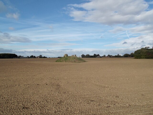
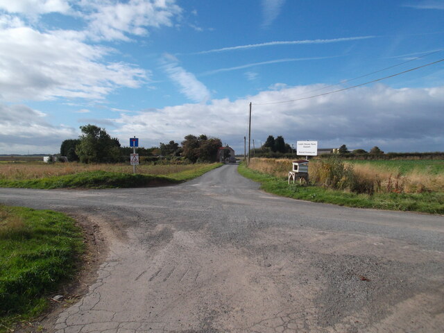
Eastoft is a small village located in the county of Lincolnshire, England, near the border with Yorkshire. Situated in the Isle of Axholme, Eastoft is surrounded by picturesque countryside and lies approximately 10 miles south-east of the town of Goole.
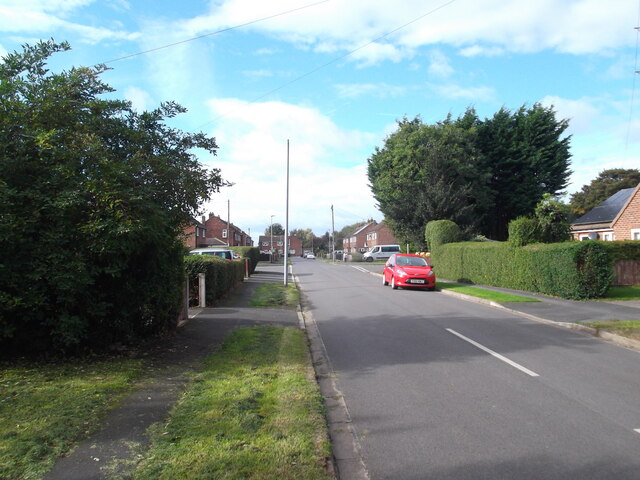
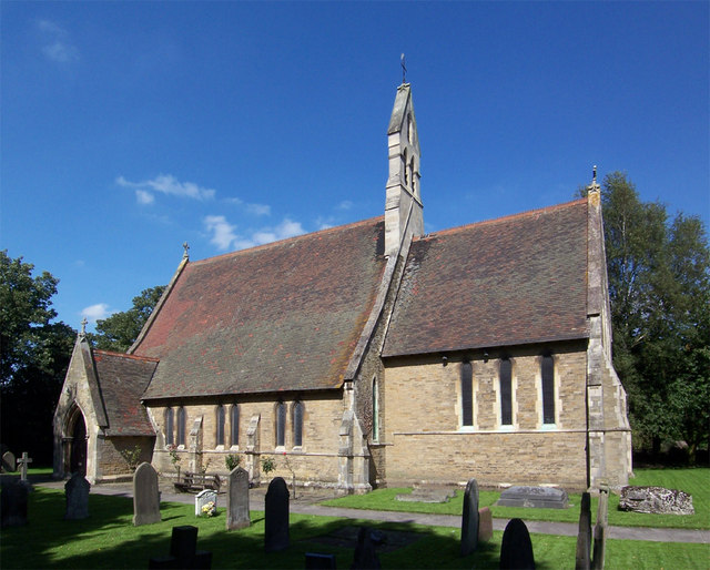
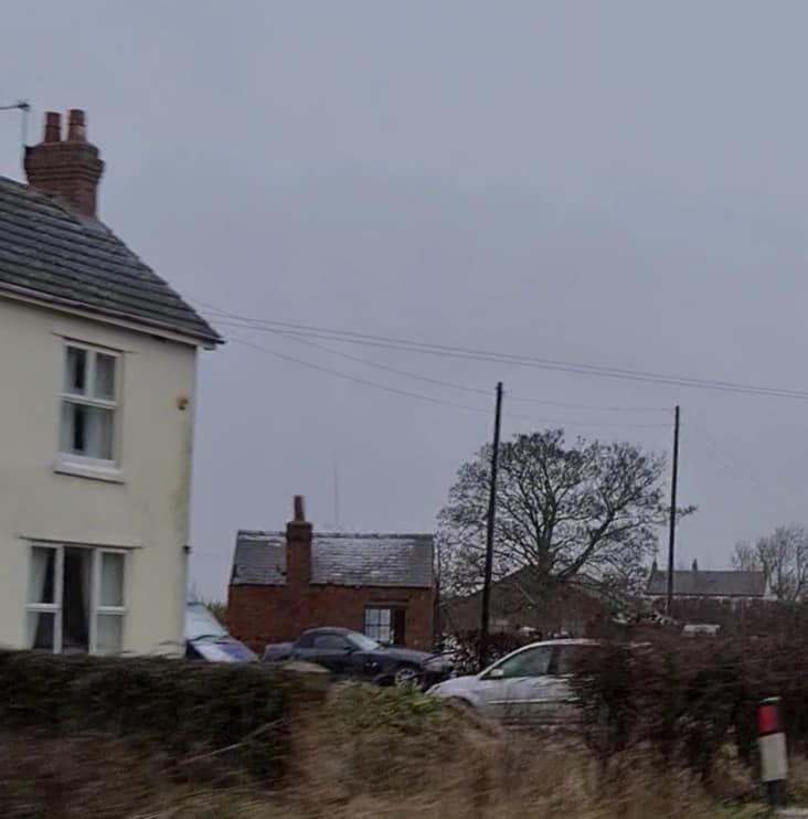
With a population of around 400 residents, Eastoft exudes a charming rural atmosphere. The village is characterized by its traditional architecture, including a mix of quaint cottages and modern homes. The focal point of the community is the St. Bartholomew's Church, a beautiful historic building that dates back to the 12th century.
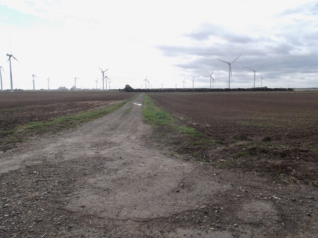
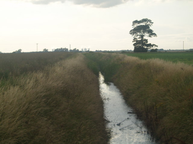
Eastoft benefits from its proximity to the River Don and the nearby Humber Estuary, offering scenic views and recreational opportunities for residents and visitors alike. The village is also known for its well-maintained green spaces, including a village playing field and a children's playground.
While Eastoft is primarily a residential area, it boasts a strong sense of community, with various local events and activities organized throughout the year. Additionally, the village has a small primary school, providing education for the local children.
Residents of Eastoft enjoy a peaceful and tranquil lifestyle, with easy access to nearby towns and cities for amenities and employment opportunities. The village's location on the border of Lincolnshire and Yorkshire allows for exploration of both counties, offering a range of cultural, historical, and natural attractions within a short distance.
If you have any feedback on the listing, please let us know in the comments section below.
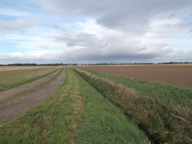
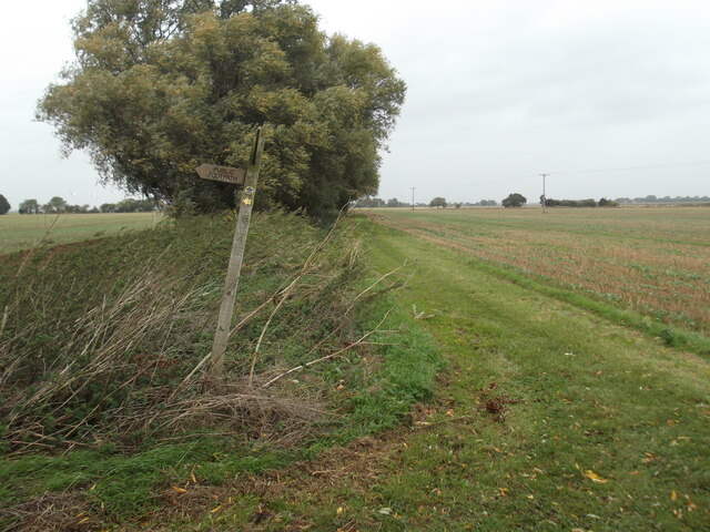
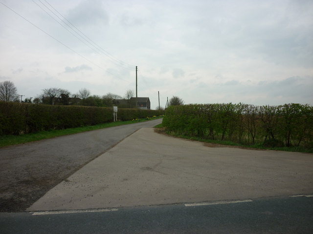
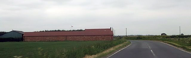
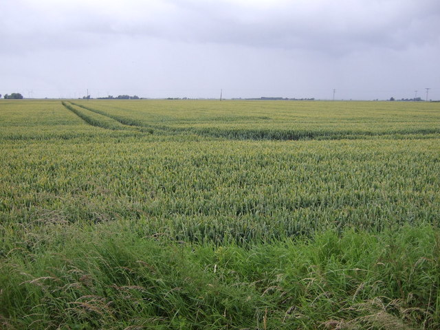
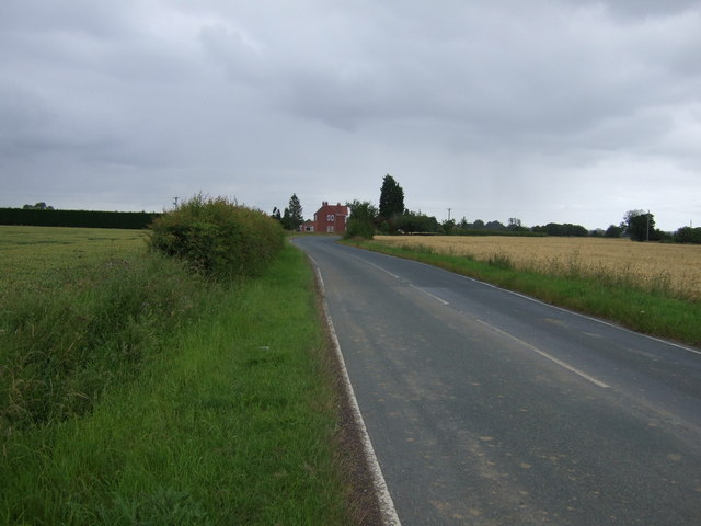
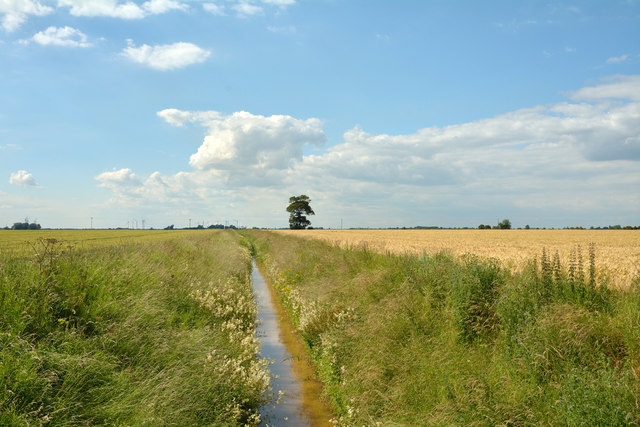
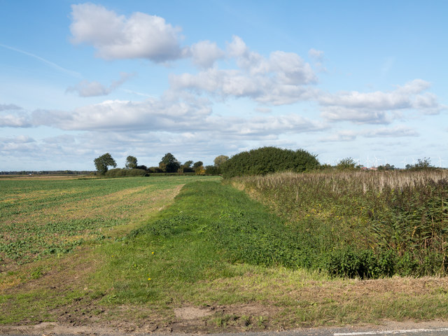
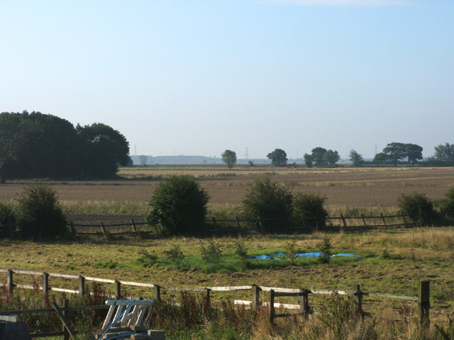
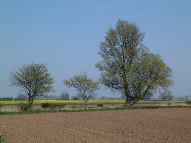
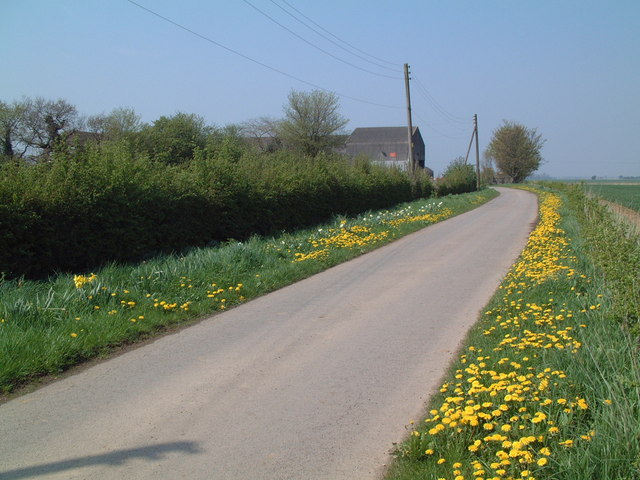
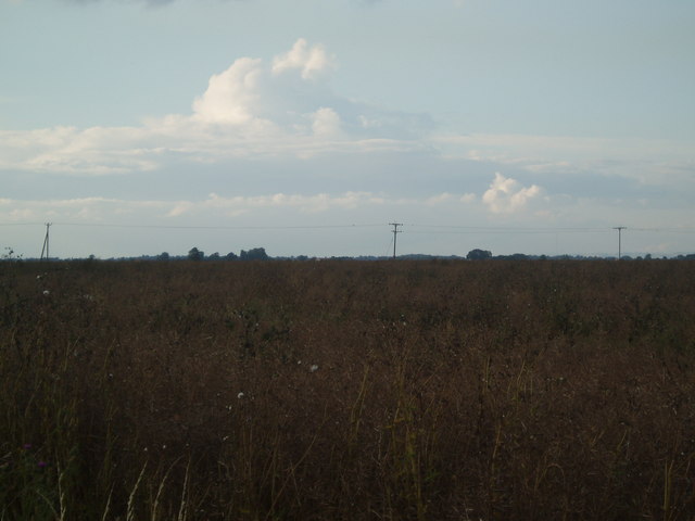
Eastoft Images
Images are sourced within 2km of 53.636232/-0.78414 or Grid Reference SE8016. Thanks to Geograph Open Source API. All images are credited.

Eastoft is located at Grid Ref: SE8016 (Lat: 53.636232, Lng: -0.78414)
Division: Parts of Lindsey / West Riding
Unitary Authority: North Lincolnshire
Police Authority: Humberside
What 3 Words
///removable.voter.office. Near Eastoft, Lincolnshire
Nearby Locations
Related Wikis
Eastoft
Eastoft is a village and civil parish in North Lincolnshire, England. It is situated within the Isle of Axholme, 3 miles (5 km) north-east from Crowle...
Eastoft railway station
Eastoft railway station was a station in Eastoft, Lincolnshire on the Axholme Joint Railway. == History == The station was opened on 10 August 1903 when...

Luddington railway station
Luddington railway station was a station in Luddington, Lincolnshire on the Axholme Joint Railway branch to Fockerby. == References ==
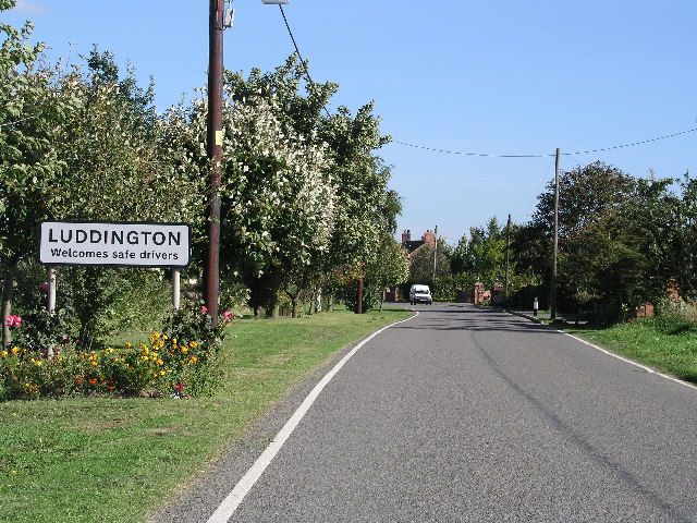
Luddington, Lincolnshire
Luddington is a village and former civil parish, now in the parish of Luddington with Haldenby, on the Isle of Axholme in the North Lincolnshire district...
Nearby Amenities
Located within 500m of 53.636232,-0.78414Have you been to Eastoft?
Leave your review of Eastoft below (or comments, questions and feedback).