Moor Fields

Downs, Moorland in Yorkshire

England

Moor Fields

A161 at Churchlane Corner
A161 at Churchlane Corner Credit: David Brown

Moor Fields in Yorkshire is a picturesque area known for its rolling hills, expansive moorlands, and stunning views. Located in the Yorkshire Downs, Moor Fields is a popular destination for hikers, nature lovers, and outdoor enthusiasts. The landscape is characterized by its rugged beauty, with vast stretches of open moorland dotted with heather, bracken, and wildflowers.

Visitors to Moor Fields can enjoy a variety of outdoor activities, including hiking, birdwatching, and photography. The area is home to a diverse range of wildlife, including birds of prey, deer, and rare plant species. The peaceful atmosphere and breathtaking scenery make Moor Fields a perfect spot for relaxation and contemplation.

In addition to its natural beauty, Moor Fields has a rich history dating back centuries. The area is scattered with ancient ruins, stone circles, and burial mounds, offering a glimpse into the past. Visitors can explore these historic sites and learn about the area's fascinating heritage.

Overall, Moor Fields in Yorkshire is a tranquil and captivating destination that showcases the beauty of the British countryside. Whether you're looking for outdoor adventure or a peaceful retreat, Moor Fields offers something for everyone.

If you have any feedback on the listing, please let us know in the comments section below.
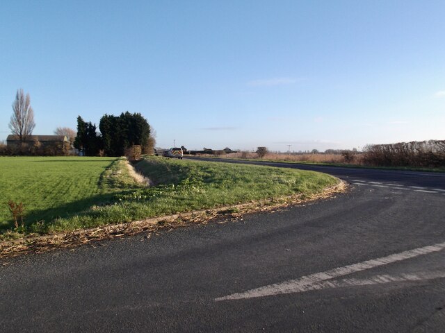
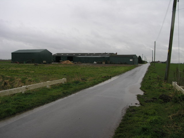
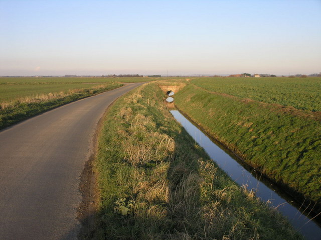
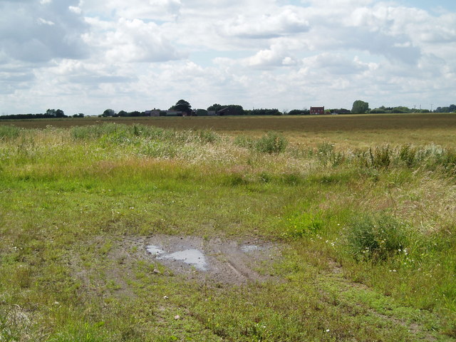
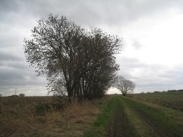
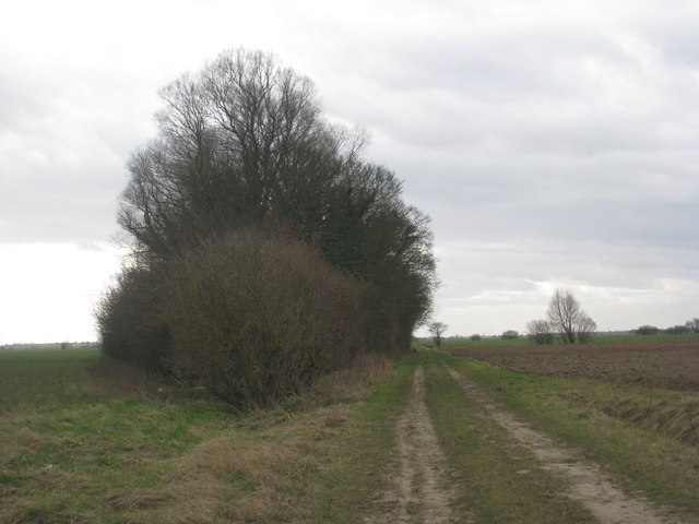
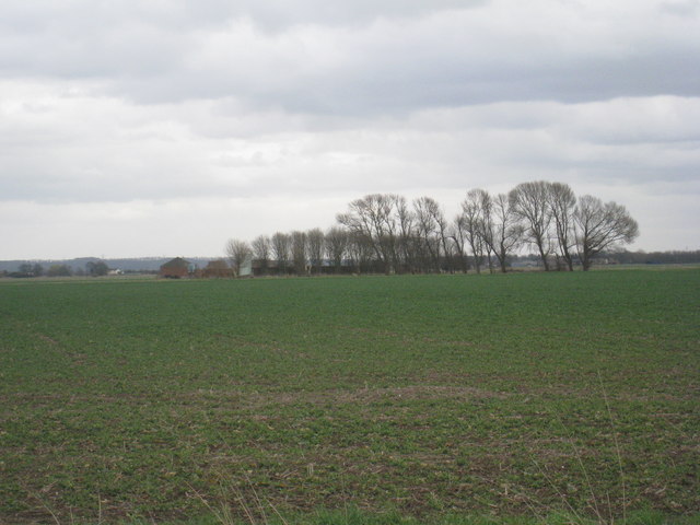
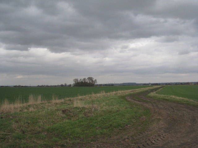
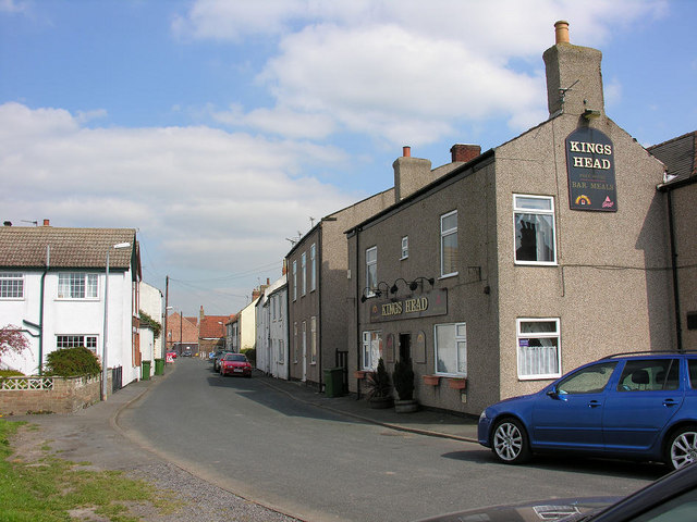
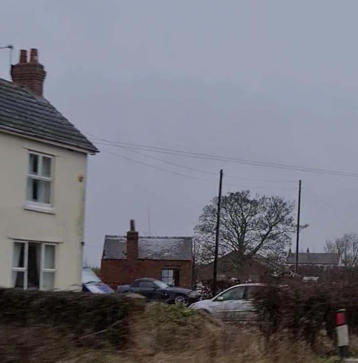
Moor Fields Images

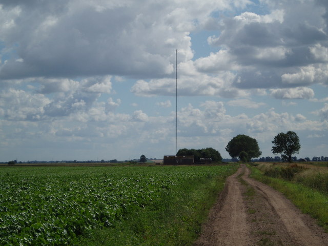
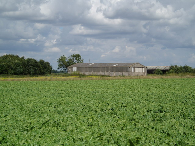
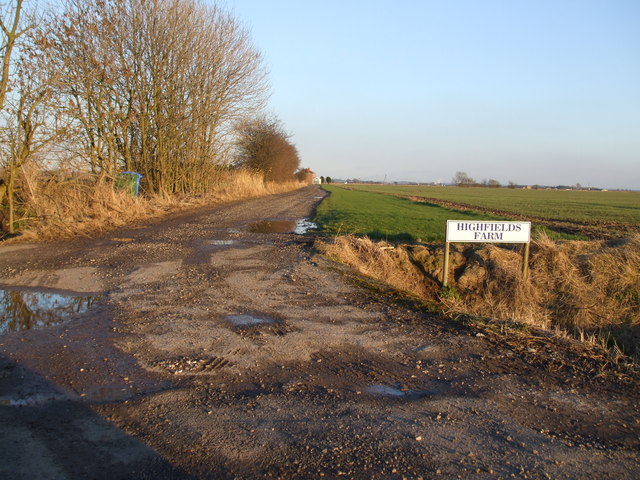
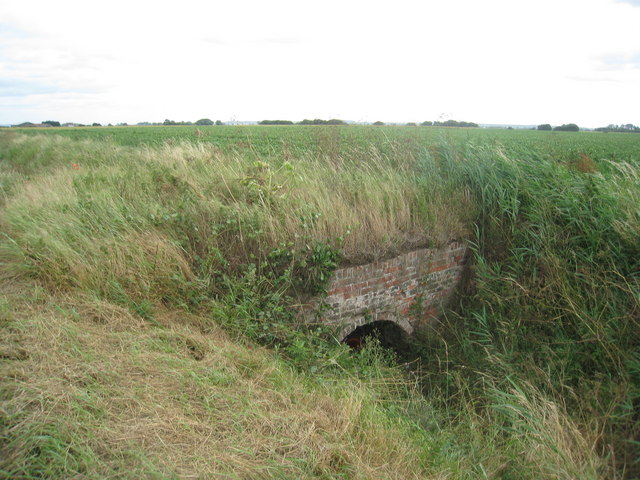
Images are sourced within 2km of 53.675688/-0.80438583 or Grid Reference SE7920. Thanks to Geograph Open Source API. All images are credited.

A161 at Churchlane Corner
Green Farm If not entirely environmentally friendly at least this farm is green. The subsiding land can be witnessed in the angle of the telegraph pole.
Green Farm
If not entirely environmentally friendly at least this farm is green. The subsiding land can be witnessed in the angle of the telegraph pole.
Road and Drain One of the many drains that temporarily keeps this land free from flooding.
Road and Drain
One of the many drains that temporarily keeps this land free from flooding.
Lane end looking towards Pasture Farm
Field north of the anemometer mast on Ousefleet Moor
Park Grounds Farm
Park Grounds Farm
Track to Highfields Farm
Bridge over Reedness Drain
Track to Whitgift Pasture Just a few small trees to break the monotony of the landscape.
Track to Whitgift Pasture
Just a few small trees to break the monotony of the landscape.
Small plantation on Whitgift Pasture On the narrow strip of grass between the track and the trees can be seen (if you look very carefully) a Roe Deer, one of six that were grazing when I arrived.
Small plantation on Whitgift Pasture
On the narrow strip of grass between the track and the trees can be seen (if you look very carefully) a Roe Deer, one of six that were grazing when I arrived.
View to Park Grounds Farm Some welcome trees in this open landscape.
View to Park Grounds Farm
Some welcome trees in this open landscape.
Track to Park Grounds Farm The Trent Hills near Alkborough can be seen in the far distance.
Track to Park Grounds Farm
The Trent Hills near Alkborough can be seen in the far distance.
Farm buildings on Reading Gate, (road)
Reading Gate (road) crosses over Quart Lane
Oldlane Gate near Castle View Farm
The way to Highfields Farm off Oldlane Gate
Field beside Reedness Drain The ditch in the foreground is known as Reedness Drain. Highfield Farm is seen beyond the earthen field.
Field beside Reedness Drain
The ditch in the foreground is known as Reedness Drain. Highfield Farm is seen beyond the earthen field.
Pasture Farm From OS Landranger mapping the farm might be thought to be Castle View Farm but that is concealed by the trees; Pasture Farm is named at the 1:25000 scale.
Pasture Farm
From OS Landranger mapping the farm might be thought to be Castle View Farm but that is concealed by the trees; Pasture Farm is named at the 1:25000 scale.
Show me another place!

Moor Fields is located at Grid Ref: SE7920 (Lat: 53.675688, Lng: -0.80438583)

Division: West Riding

Unitary Authority: East Riding of Yorkshire

Police Authority: Humberside

What 3 Words

///copying.intend.crispier. Near Eastoft, Lincolnshire

Related Wikis

Swinefleet

Swinefleet is a village and civil parish in the East Riding of Yorkshire, England. It is situated approximately 2 miles (3.2 km) south-east of the town...

Reedness

Reedness is a village and civil parish in the East Riding of Yorkshire, England. It is situated approximately 3 miles (4.8 km) east of the town of Goole...

Little Reedness

Little Reedness is a hamlet in the East Riding of Yorkshire, England. It is situated approximately 3.5 miles (6 km) east of the town of Goole and lies...

Eastoft railway station

Eastoft railway station was a station in Eastoft, Lincolnshire on the Axholme Joint Railway. == History == The station was opened on 10 August 1903 when...

Nearby Amenities

Located within 500m of 53.675688,-0.80438583
Fixme: Continues? #surveyme
Lat/Long: 53.6743879/-0.8004163
High East Moor Field
Place: locality
Lat/Long: 53.6720611/-0.8012385
Lowfields House
Place: isolated_dwelling
Lat/Long: 53.6746102/-0.7993649
Margrave Bridge
Place: locality
Lat/Long: 53.6750616/-0.8022957
Mawgre Farm
Place: farm
Lat/Long: 53.6748263/-0.8002053
Low West Moor Field
Place: locality
Lat/Long: 53.6785381/-0.8049456
Moor Fields
Place: locality
Lat/Long: 53.6745799/-0.8061766
The data included in this document is from www.openstreetmap.org. The data is made available under ODbL.

Have you been to Moor Fields?

Leave your review of Moor Fields below (or comments, questions and feedback).