Andridge Common
Downs, Moorland in Buckinghamshire
England
Andridge Common
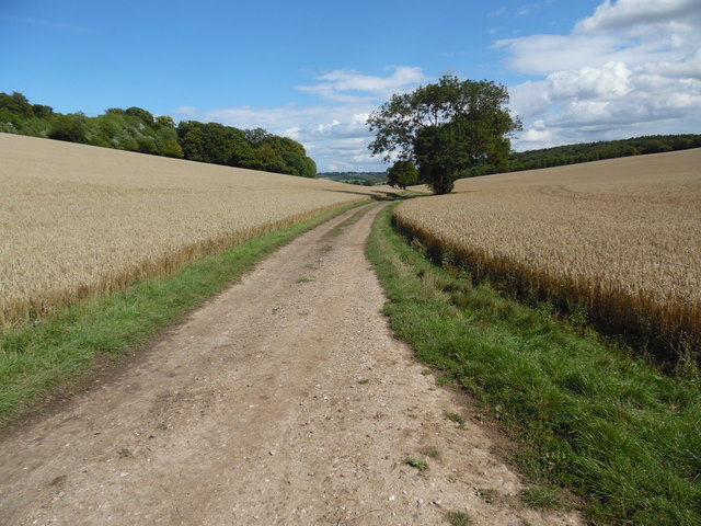
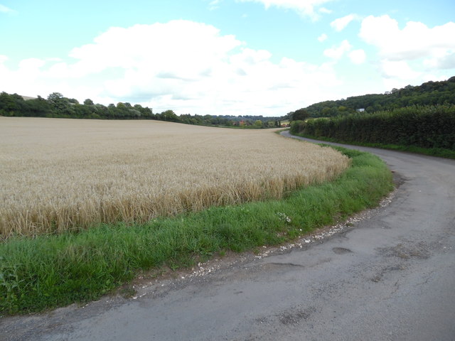
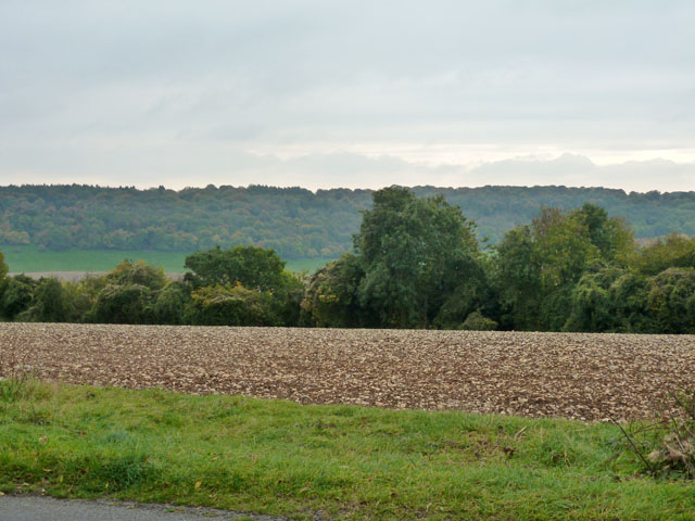
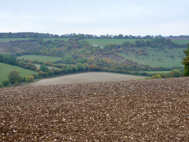
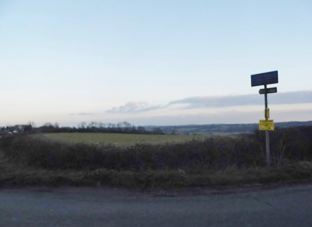
Andridge Common is a picturesque area located in Buckinghamshire, England. Nestled within the Chiltern Hills, it encompasses a diverse landscape that includes downs and moorland. Covering an area of approximately 50 hectares, Andridge Common offers visitors an opportunity to immerse themselves in natural beauty and tranquility.
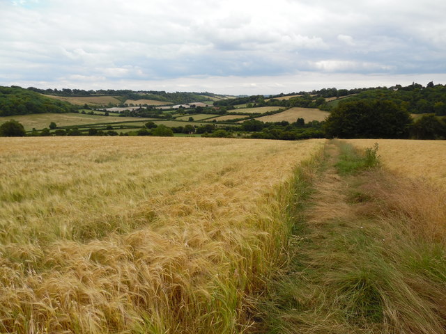
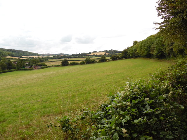
The common is characterized by its rolling hills, wide open spaces, and stunning panoramic views. It is home to an array of wildlife, including various species of birds, butterflies, and mammals. The heathland and grassland habitats support a rich and diverse ecosystem, making it a haven for nature enthusiasts.
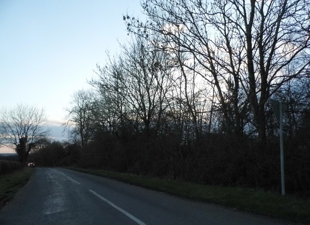
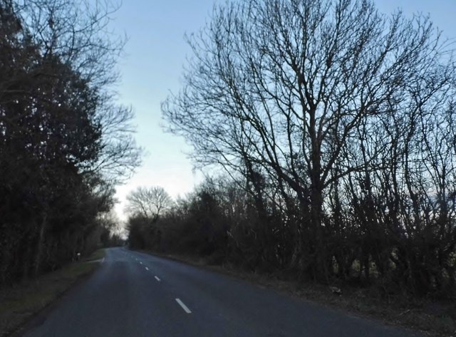
Visitors to Andridge Common can enjoy leisurely walks along the well-maintained footpaths that crisscross the area. These paths provide access to the different sections of the common, allowing visitors to explore its various habitats and appreciate the unique flora and fauna.
The common also boasts several picnic areas, making it an ideal spot for enjoying a peaceful outdoor meal surrounded by nature. It is a popular destination for families, dog walkers, and photographers seeking to capture the beauty of the countryside.
Andridge Common is managed by a local conservation trust, ensuring the preservation of its natural features and the protection of its wildlife. Regular conservation efforts such as controlled burning and grazing are carried out to maintain the health of the common and promote biodiversity.
Overall, Andridge Common offers a scenic and serene escape from the hustle and bustle of urban life. With its stunning landscapes, diverse habitats, and abundant wildlife, it is a true gem within the Buckinghamshire countryside.
If you have any feedback on the listing, please let us know in the comments section below.
Andridge Common Images
Images are sourced within 2km of 51.672505/-0.87821057 or Grid Reference SU7797. Thanks to Geograph Open Source API. All images are credited.


Andridge Common is located at Grid Ref: SU7797 (Lat: 51.672505, Lng: -0.87821057)
Unitary Authority: Buckinghamshire
Police Authority: Thames Valley
What 3 Words
///rope.outwards.paces. Near Stokenchurch, Buckinghamshire
Nearby Locations
Related Wikis

Radnage
Radnage is a village and civil parish in the Buckinghamshire district of Buckinghamshire, England. It is in the Chiltern Hills about two miles north east...

Bennett End
Bennett End is a hamlet near Radnage and Bledlow Ridge in Buckinghamshire, England. At the 2011 Census the population of the hamlet was included in the...
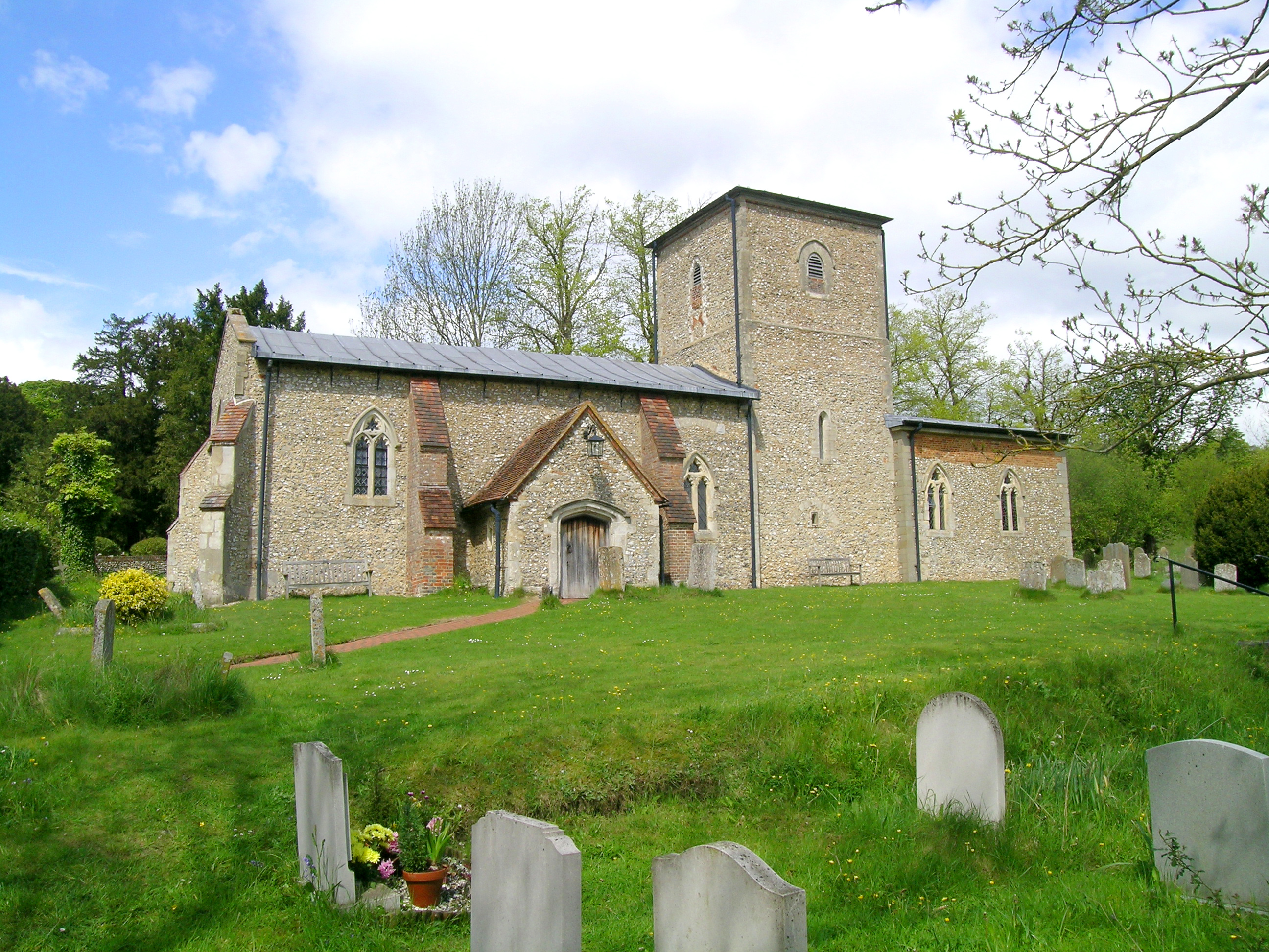
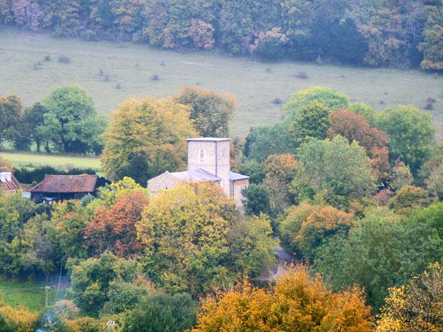
St Mary the Virgin, Radnage
St Mary the Virgin is the parish church of Radnage in Buckinghamshire, situated towards the northeastern edge of the village. The church is part of the...
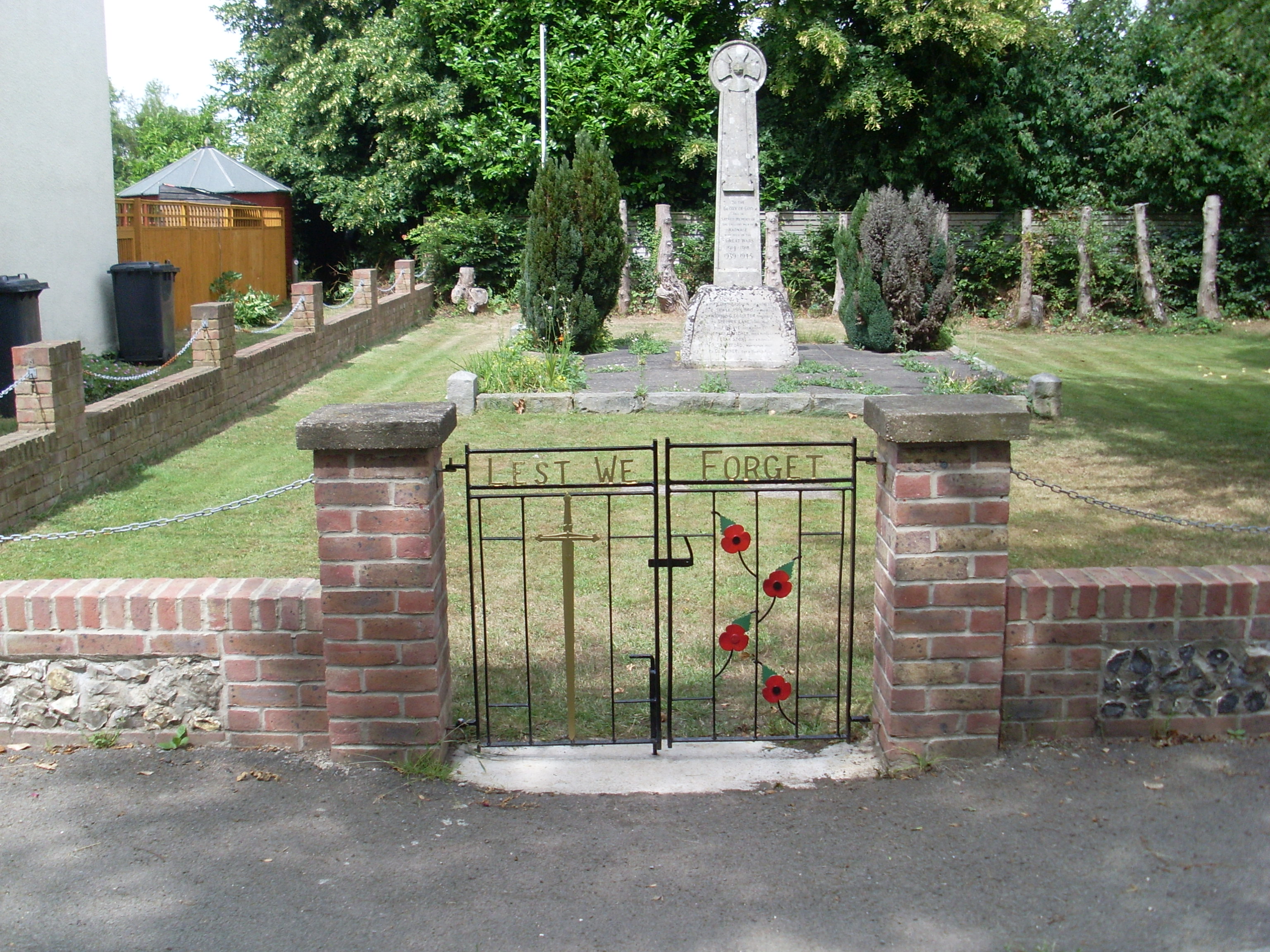
Radnage War Memorial
Radnage War Memorial is located at Mudds Bank, Radnage, Buckinghamshire, England. It is a grade II listed building with Historic England and commemorates...
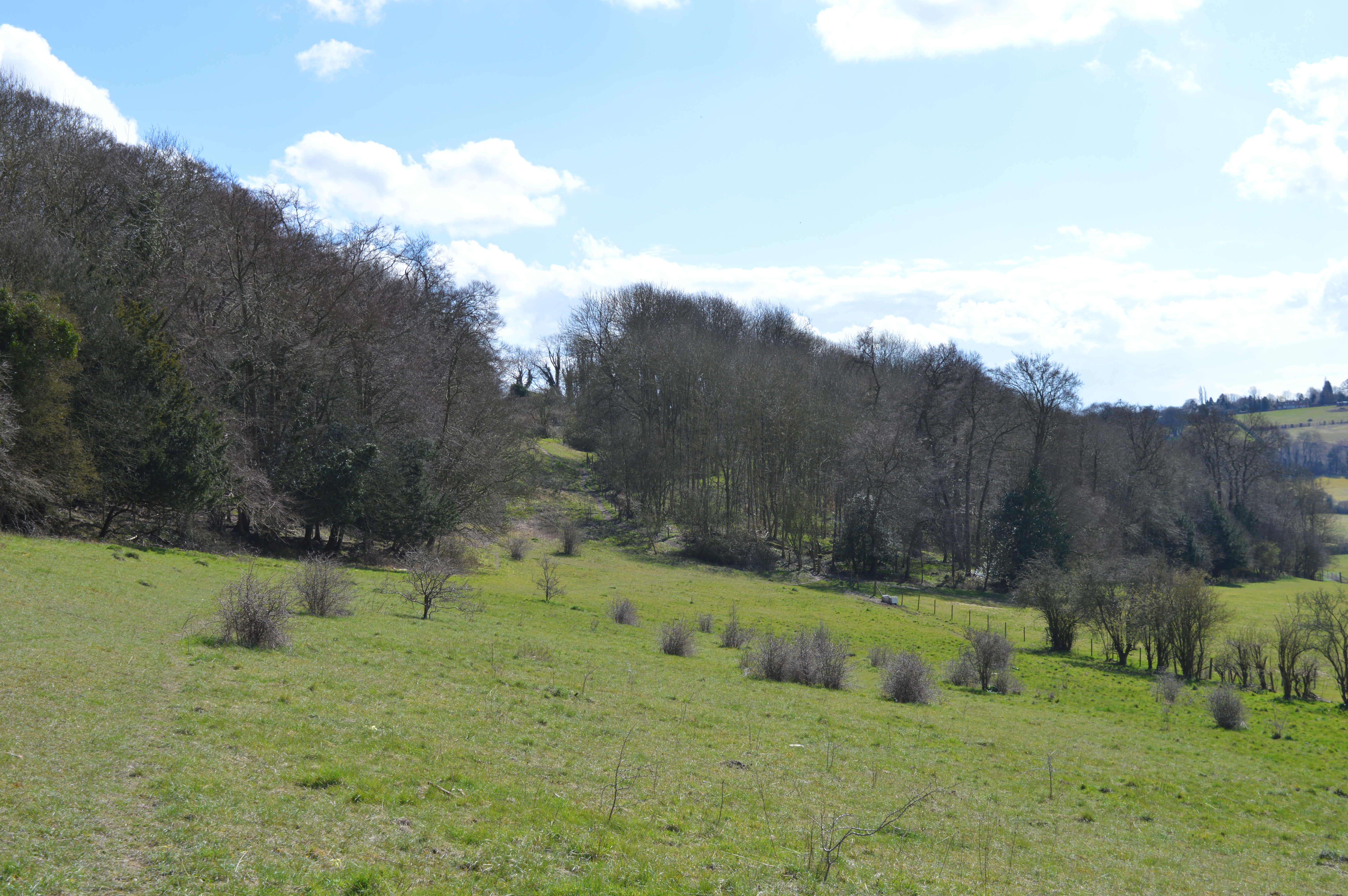
Yoesden
Yoesden, often known as Yoesden Bank, is a 13-hectare (32-acre) nature reserve in Bledlow Ridge in Buckinghamshire. It is managed by the Berkshire, Buckinghamshire...

Sir Charles Napier Inn
The Sir Charles Napier Inn (commonly known as the Sir Charles Napier or simply the Charles Napier) is a gastropub in Spriggs Alley about 1.5 miles (2.4...

Waterend, Buckinghamshire
Waterend is a hamlet located on the A40 between Piddington and Stokenchurch in Buckinghamshire, England. Together with the adjacent hamlets of Horsleys...
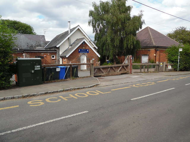
Stokenchurch
Stokenchurch is a village and civil parish in south-west Buckinghamshire, England. It is located in the Chiltern Hills, about 3 miles (5 km) south of Chinnor...
Nearby Amenities
Located within 500m of 51.672505,-0.87821057Have you been to Andridge Common?
Leave your review of Andridge Common below (or comments, questions and feedback).