Beechwood Shaw
Wood, Forest in Oxfordshire South Oxfordshire
England
Beechwood Shaw
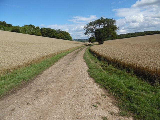
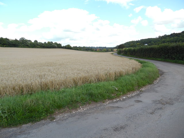
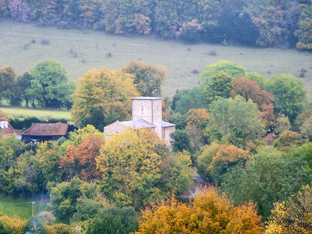
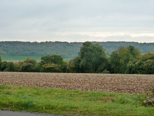
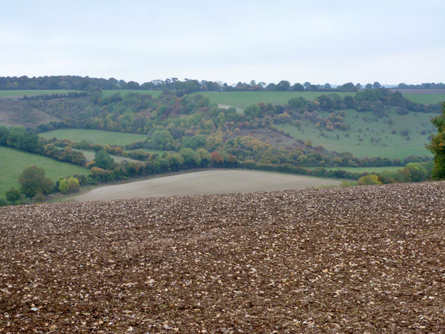
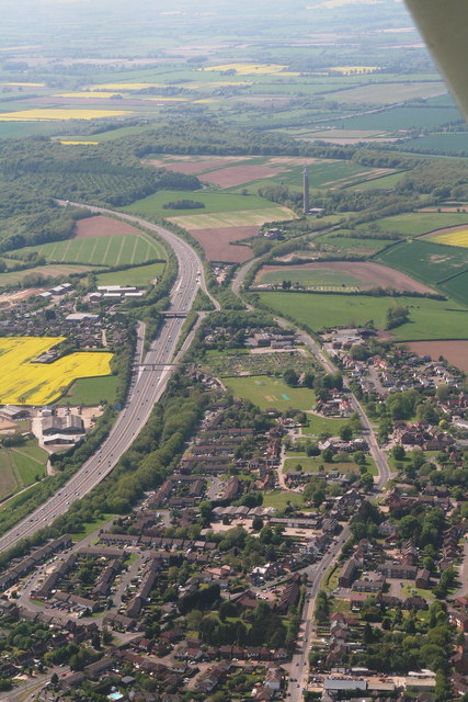
Beechwood Shaw is a picturesque woodland area located in Oxfordshire, England. Spanning over several acres, this beech woodland is renowned for its natural beauty and tranquil atmosphere. The shaw is situated near the small village of Beechwood, which is surrounded by rolling hills and lush green landscapes.
The forest is primarily composed of beech trees, which give the area its name. These majestic trees create a dense canopy that provides shade and shelter for a diverse range of flora and fauna. Walking through the shaw, visitors can admire the tall, straight trunks of the beech trees, which often reach impressive heights.
The woodland floor is carpeted with a variety of wildflowers, ferns, and moss, making it a haven for nature enthusiasts and photographers. The area is also home to a wide array of wildlife, including deer, squirrels, and numerous bird species. Birdwatchers can spot woodpeckers, owls, and various migratory birds that visit the shaw throughout the year.
Beechwood Shaw offers several well-maintained walking trails, allowing visitors to explore the forest at their own pace. These trails wind through the woods, providing breathtaking views of the surrounding countryside and occasional glimpses of wildlife. The area is particularly popular during the autumn months when the beech trees transform into a stunning display of vibrant red, orange, and gold foliage.
Overall, Beechwood Shaw in Oxfordshire is a serene and enchanting woodland, offering visitors a chance to connect with nature and experience the tranquility of a true English forest.
If you have any feedback on the listing, please let us know in the comments section below.
Beechwood Shaw Images
Images are sourced within 2km of 51.669297/-0.88595383 or Grid Reference SU7797. Thanks to Geograph Open Source API. All images are credited.


Beechwood Shaw is located at Grid Ref: SU7797 (Lat: 51.669297, Lng: -0.88595383)
Administrative County: Oxfordshire
District: South Oxfordshire
Police Authority: Thames Valley
What 3 Words
///dirt.claps.timer. Near Stokenchurch, Buckinghamshire
Nearby Locations
Related Wikis

Radnage
Radnage is a village and civil parish in the Buckinghamshire district of Buckinghamshire, England. It is in the Chiltern Hills about two miles north east...

Bennett End
Bennett End is a hamlet near Radnage and Bledlow Ridge in Buckinghamshire, England. At the 2011 Census the population of the hamlet was included in the...

Sir Charles Napier Inn
The Sir Charles Napier Inn (commonly known as the Sir Charles Napier or simply the Charles Napier) is a gastropub in Spriggs Alley about 1.5 miles (2.4...
Stokenchurch
Stokenchurch is a village and civil parish in south-west Buckinghamshire, England. It is located in the Chiltern Hills, about 3 miles (5 km) south of Chinnor...
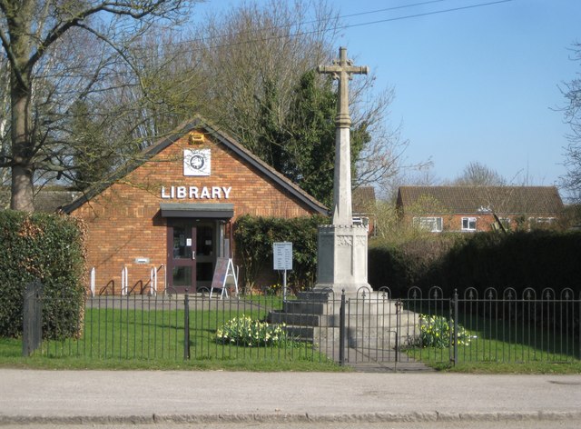
Stokenchurch War Memorial
Stokenchurch War Memorial is located outside the Memorial Hall, Wycombe Road, Stokenchurch, Buckinghamshire, England. It is a grade II listed building...

Waterend, Buckinghamshire
Waterend is a hamlet located on the A40 between Piddington and Stokenchurch in Buckinghamshire, England. Together with the adjacent hamlets of Horsleys...
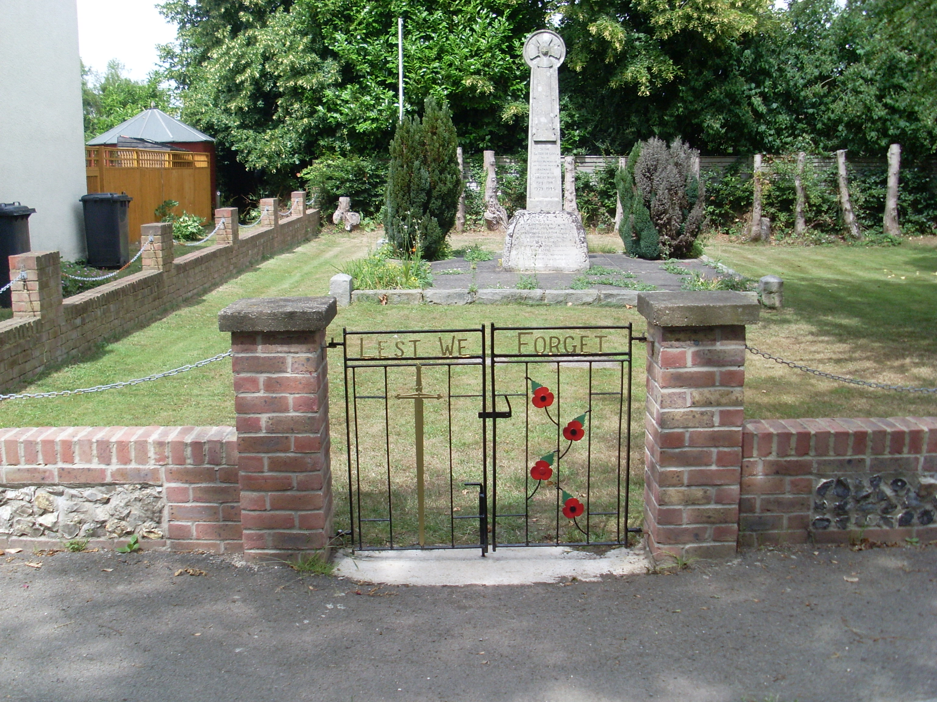
Radnage War Memorial
Radnage War Memorial is located at Mudds Bank, Radnage, Buckinghamshire, England. It is a grade II listed building with Historic England and commemorates...
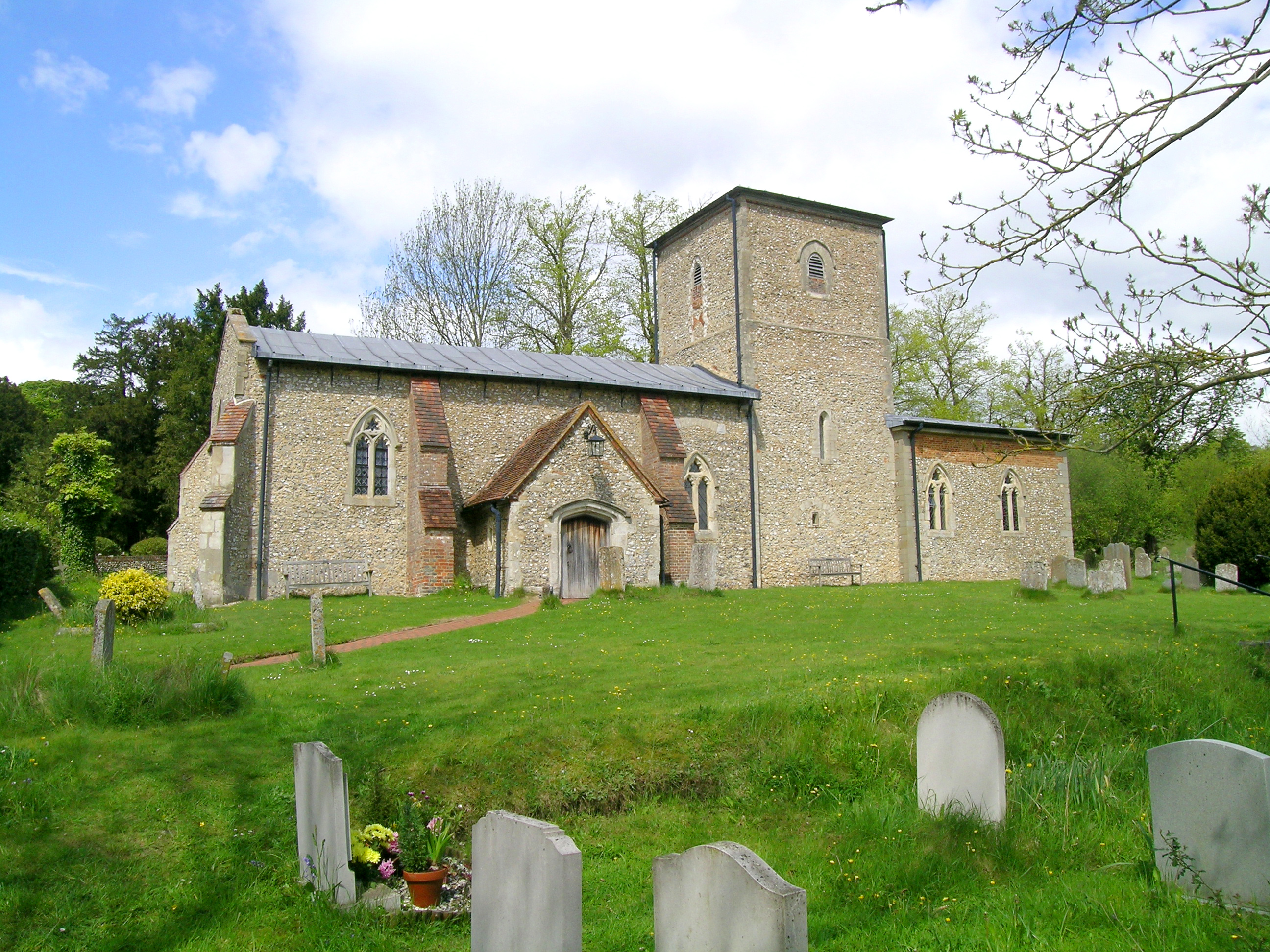
St Mary the Virgin, Radnage
St Mary the Virgin is the parish church of Radnage in Buckinghamshire, situated towards the northeastern edge of the village. The church is part of the...
Nearby Amenities
Located within 500m of 51.669297,-0.88595383Have you been to Beechwood Shaw?
Leave your review of Beechwood Shaw below (or comments, questions and feedback).