Annan Fields
Downs, Moorland in Yorkshire Ryedale
England
Annan Fields

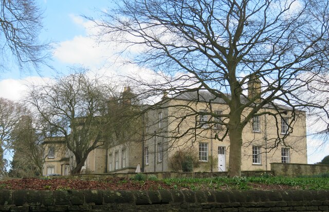
Annan Fields, located in Yorkshire, England, is a breathtaking area that encompasses both Downs and Moorland landscapes. Stretching over a vast expanse, this region offers visitors a diverse and stunning natural setting to explore. The Downs, characterized by their rolling hills and expansive grasslands, provide a picturesque backdrop for outdoor activities such as hiking, picnicking, and birdwatching. The gentle slopes and wide open spaces make it an ideal location for leisurely walks and taking in the panoramic views.
Adjacent to the Downs, the Moorland of Annan Fields offers a contrasting landscape that is equally captivating. Here, visitors can marvel at the rugged beauty of the moors, with their heather-covered hills and dramatic rocky outcrops. The moorland is home to a rich variety of plant and animal species, including iconic wildlife like the red grouse and curlew. It is a haven for nature enthusiasts and photographers seeking to capture the unique beauty of this untamed terrain.
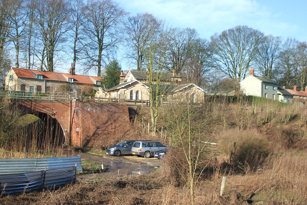
Annan Fields is also rich in history, with evidence of human habitation dating back thousands of years. Ancient burial mounds and stone circles dot the landscape, offering a glimpse into the region's past. Visitors can explore these archaeological sites and learn about the fascinating history of the area.
Overall, Annan Fields in Yorkshire is a remarkable destination, offering a blend of Downs and Moorland landscapes that are both visually stunning and culturally significant. Whether one seeks outdoor adventures, tranquil walks, or a deeper connection with nature and history, this region provides an unforgettable experience for all who visit.
If you have any feedback on the listing, please let us know in the comments section below.
Annan Fields Images
Images are sourced within 2km of 54.096782/-0.84532632 or Grid Reference SE7567. Thanks to Geograph Open Source API. All images are credited.


Annan Fields is located at Grid Ref: SE7567 (Lat: 54.096782, Lng: -0.84532632)
Division: North Riding
Administrative County: North Yorkshire
District: Ryedale
Police Authority: North Yorkshire
What 3 Words
///makeovers.interviewer.pounding. Near Malton, North Yorkshire
Nearby Locations
Related Wikis

Huttons Ambo
Huttons Ambo is a civil parish in the Ryedale district of North Yorkshire, England. It is about 14 miles (22.5 km) north-east of York and 3 miles (4.8...
Huttons Ambo railway station
Huttons Ambo railway station was a minor railway station serving the twin villages of High Hutton and Low Hutton, and the village of Menethorpe, in North...
Menethorpe
Menethorpe is a hamlet and former civil parish, now in the parish of Burythorpe, in North Yorkshire, England. In 1931 the parish had a population of 68...

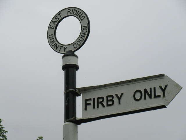
Firby, Ryedale
Firby is a village in North Yorkshire, England, 4 miles (6 km) south west of Malton. Firby was historically a township in the parish of Westow in the East...
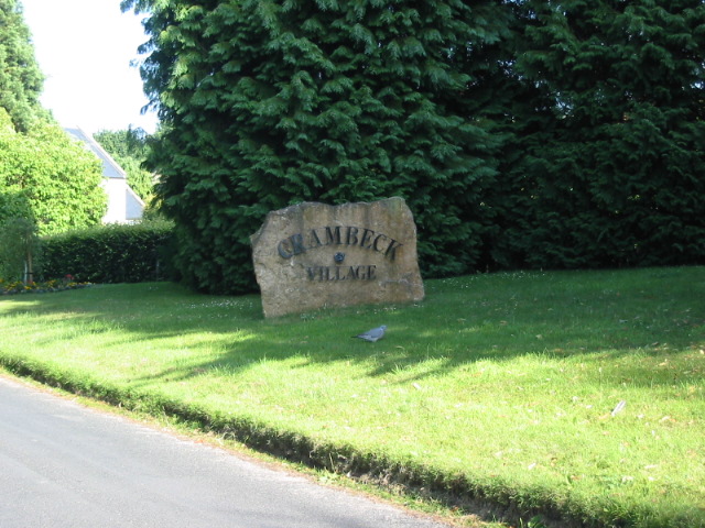
Crambeck
Crambeck near Crambe and Malton in Yorkshire is near the River Derwent. == History == === Roman === Crambeck is famous in antiquity as having been the Roman...
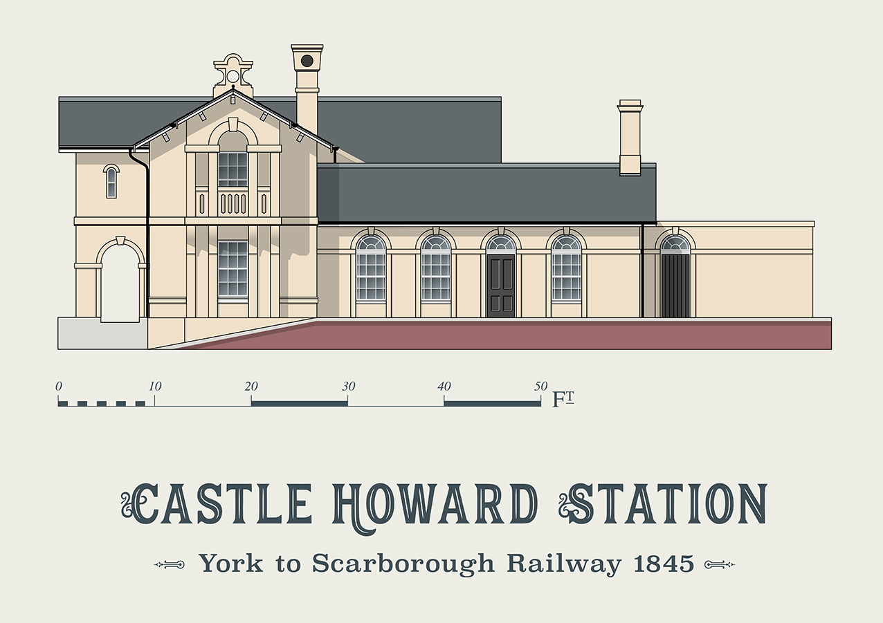
Castle Howard railway station
Castle Howard railway station was a minor railway station serving the village of Welburn and the stately home at Castle Howard in North Yorkshire, England...

Westow
Westow is a village and civil parish in North Yorkshire, England. Westow is situated in the lee of Spy Hill, bordering the Howardian Hills Area of Outstanding...

Kirkham, North Yorkshire
Kirkham is a village in the civil parish of Westow, in North Yorkshire, England, close to Malton, situated in the Howardian Hills alongside the River Derwent...
Nearby Amenities
Located within 500m of 54.096782,-0.84532632Have you been to Annan Fields?
Leave your review of Annan Fields below (or comments, questions and feedback).