Huttons Bank Wood
Wood, Forest in Yorkshire Ryedale
England
Huttons Bank Wood

Huttons Bank Wood is a picturesque woodland located in the county of Yorkshire, England. Situated near the village of Huttons Bank, the wood covers an area of approximately 50 acres, making it a significant natural site in the region.
The woodland is predominantly composed of native trees such as oak, ash, and beech, creating a diverse and rich ecosystem. A variety of wildlife can be found within the wood, including birds such as woodpeckers, owls, and thrushes. Small mammals like rabbits, squirrels, and hedgehogs also call this woodland their home.
Huttons Bank Wood is known for its scenic beauty, with a network of well-maintained footpaths and trails winding through the trees. These paths offer visitors the opportunity to explore the wood at their leisure, providing stunning views of the surrounding countryside.
The wood is especially popular during the spring months when the forest floor is carpeted with bluebells, creating a magical and enchanting atmosphere. Many visitors flock to Huttons Bank Wood during this time to witness this natural spectacle and capture its beauty.
Managed by the local authorities, Huttons Bank Wood offers a peaceful and tranquil environment for nature lovers, hikers, and photographers. It provides an excellent opportunity to connect with nature, escape the hustle and bustle of everyday life, and appreciate the natural wonders of Yorkshire's woodlands.
If you have any feedback on the listing, please let us know in the comments section below.
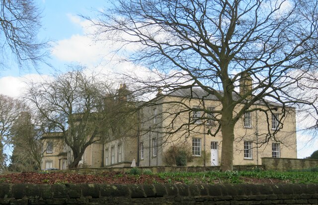
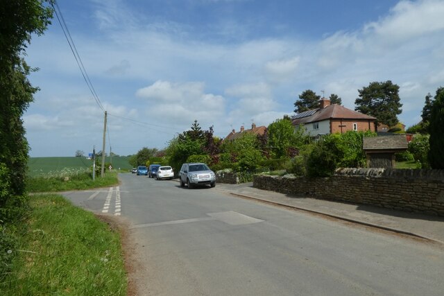
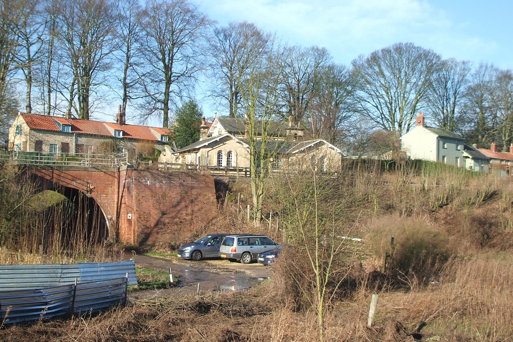
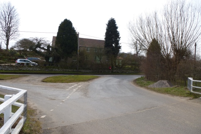
Huttons Bank Wood Images
Images are sourced within 2km of 54.094984/-0.84907665 or Grid Reference SE7567. Thanks to Geograph Open Source API. All images are credited.


Huttons Bank Wood is located at Grid Ref: SE7567 (Lat: 54.094984, Lng: -0.84907665)
Division: North Riding
Administrative County: North Yorkshire
District: Ryedale
Police Authority: North Yorkshire
What 3 Words
///teach.test.passports. Near Malton, North Yorkshire
Nearby Locations
Related Wikis

Huttons Ambo
Huttons Ambo is a civil parish in the Ryedale district of North Yorkshire, England. It is about 14 miles (22.5 km) north-east of York and 3 miles (4.8...

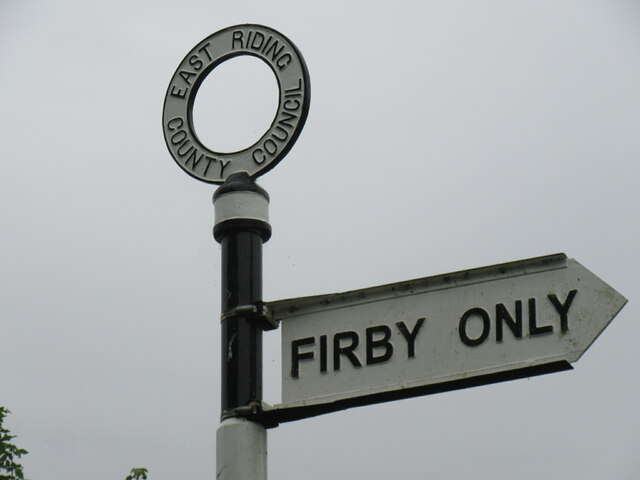
Firby, Ryedale
Firby is a village in the civil parish of Westow, in North Yorkshire, England, 4 miles (6 km) south west of Malton. Firby was historically a township in...
Huttons Ambo railway station
Huttons Ambo railway station was a minor railway station serving the twin villages of High Hutton and Low Hutton, and the village of Menethorpe, in North...
Menethorpe
Menethorpe is a hamlet and former civil parish, now in the parish of Burythorpe, in North Yorkshire, England. In 1931 the parish had a population of 68...
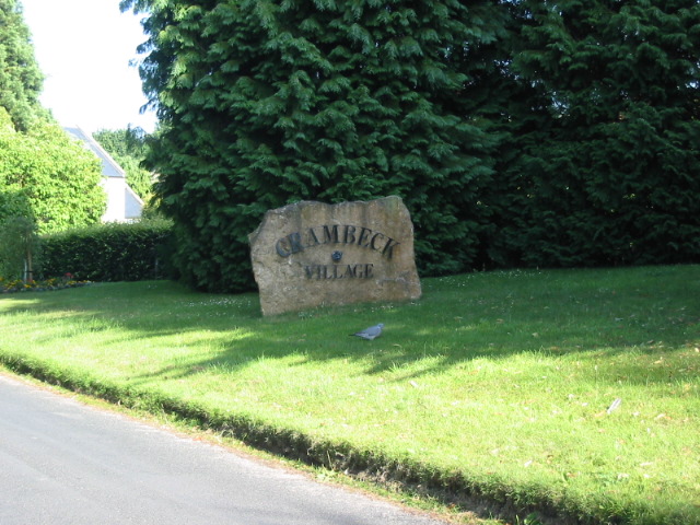
Crambeck
Crambeck near Crambe and Malton in Yorkshire is near the River Derwent. == History == === Roman === Crambeck is famous in antiquity as having been the Roman...
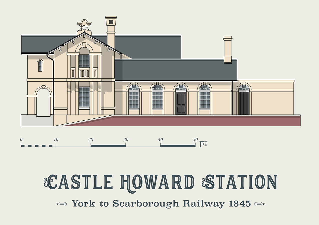
Castle Howard railway station
Castle Howard railway station was a minor railway station serving the village of Welburn and the stately home at Castle Howard in North Yorkshire, England...

Kirkham, North Yorkshire
Kirkham is a village in the civil parish of Westow, in North Yorkshire, England, close to Malton, situated in the Howardian Hills alongside the River Derwent...

Westow
Westow is a village and civil parish in North Yorkshire, England. Westow is situated in the lee of Spy Hill, bordering the Howardian Hills Area of Outstanding...
Nearby Amenities
Located within 500m of 54.094984,-0.84907665Have you been to Huttons Bank Wood?
Leave your review of Huttons Bank Wood below (or comments, questions and feedback).