The Park
Downs, Moorland in Nottinghamshire Rushcliffe
England
The Park

The Park, Nottinghamshire is a picturesque area located in the county of Nottinghamshire, England. It is renowned for its stunning natural beauty, encompassing vast expanses of downs and moorland. The Park is situated near the city of Nottingham and is easily accessible for both locals and tourists alike.
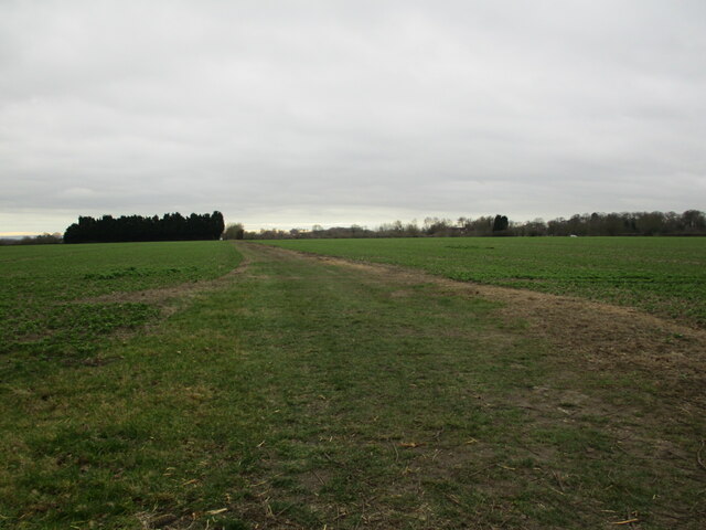
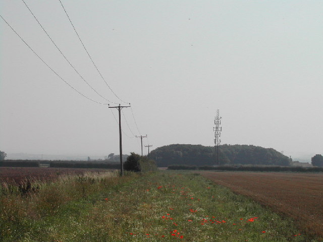
The Park boasts a diverse range of flora and fauna, making it a popular destination for nature enthusiasts. The downs are characterized by rolling hills and open grasslands, offering breathtaking panoramic views of the surrounding countryside. These areas are home to a variety of plant species, including heather, gorse, and wildflowers, creating a vibrant and colorful landscape.
Moorland, on the other hand, is characterized by its wet and boggy terrain. It is home to a diverse range of wildlife, including birds such as curlews, lapwings, and skylarks. The moors are also inhabited by various mammals, including rabbits, foxes, and deer.
The Park offers numerous recreational activities for visitors to enjoy. Walking and hiking trails provide the perfect opportunity to explore the area's natural wonders, while birdwatching and wildlife spotting are popular pastimes. The Park also features designated picnic areas, allowing visitors to relax and enjoy a meal amidst the stunning scenery.
Overall, The Park, Nottinghamshire is a haven for nature lovers and those seeking tranquility in a beautiful natural setting. Its downs and moorland offer a unique and diverse landscape, making it a must-visit destination for anyone exploring the Nottinghamshire area.
If you have any feedback on the listing, please let us know in the comments section below.
The Park Images
Images are sourced within 2km of 53.003352/-0.91039982 or Grid Reference SK7345. Thanks to Geograph Open Source API. All images are credited.


The Park is located at Grid Ref: SK7345 (Lat: 53.003352, Lng: -0.91039982)
Administrative County: Nottinghamshire
District: Rushcliffe
Police Authority: Nottinghamshire
What 3 Words
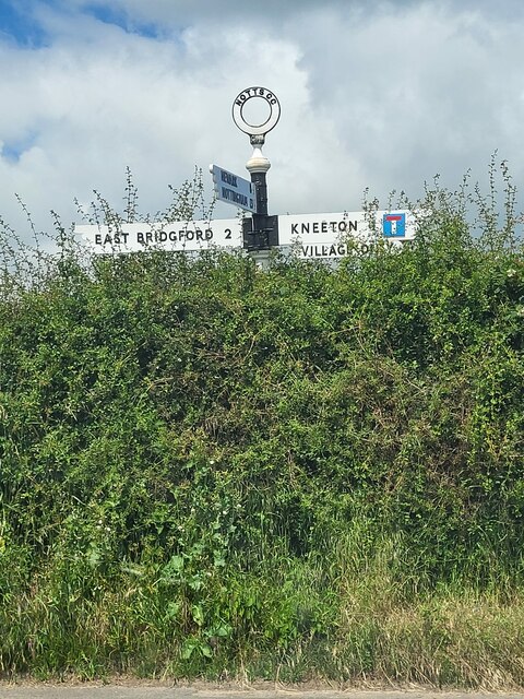
///yacht.galleries.acrobats. Near East Bridgford, Nottinghamshire
Nearby Locations
Related Wikis

Kneeton
Kneeton is a village in the county of Nottinghamshire, England. The population as of the 2011 census remained less than 100. It is included in the civil...
Screveton
Screveton (pronounced locally "Screveeton" or "Screeton") is an English parish and village in the Rushcliffe borough of Nottinghamshire, with about 100...
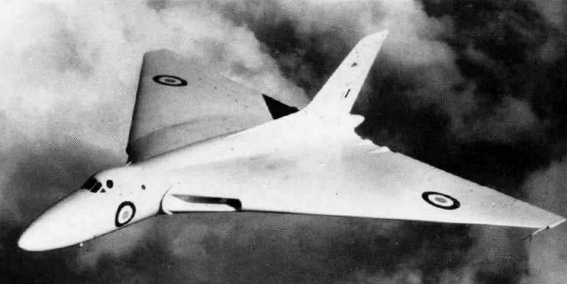
1958 Syerston Avro Vulcan crash
The 1958 Syerston Avro Vulcan crash was an aviation accident that occurred in England on 20 September 1958 during an air show at RAF Syerston, Nottinghamshire...
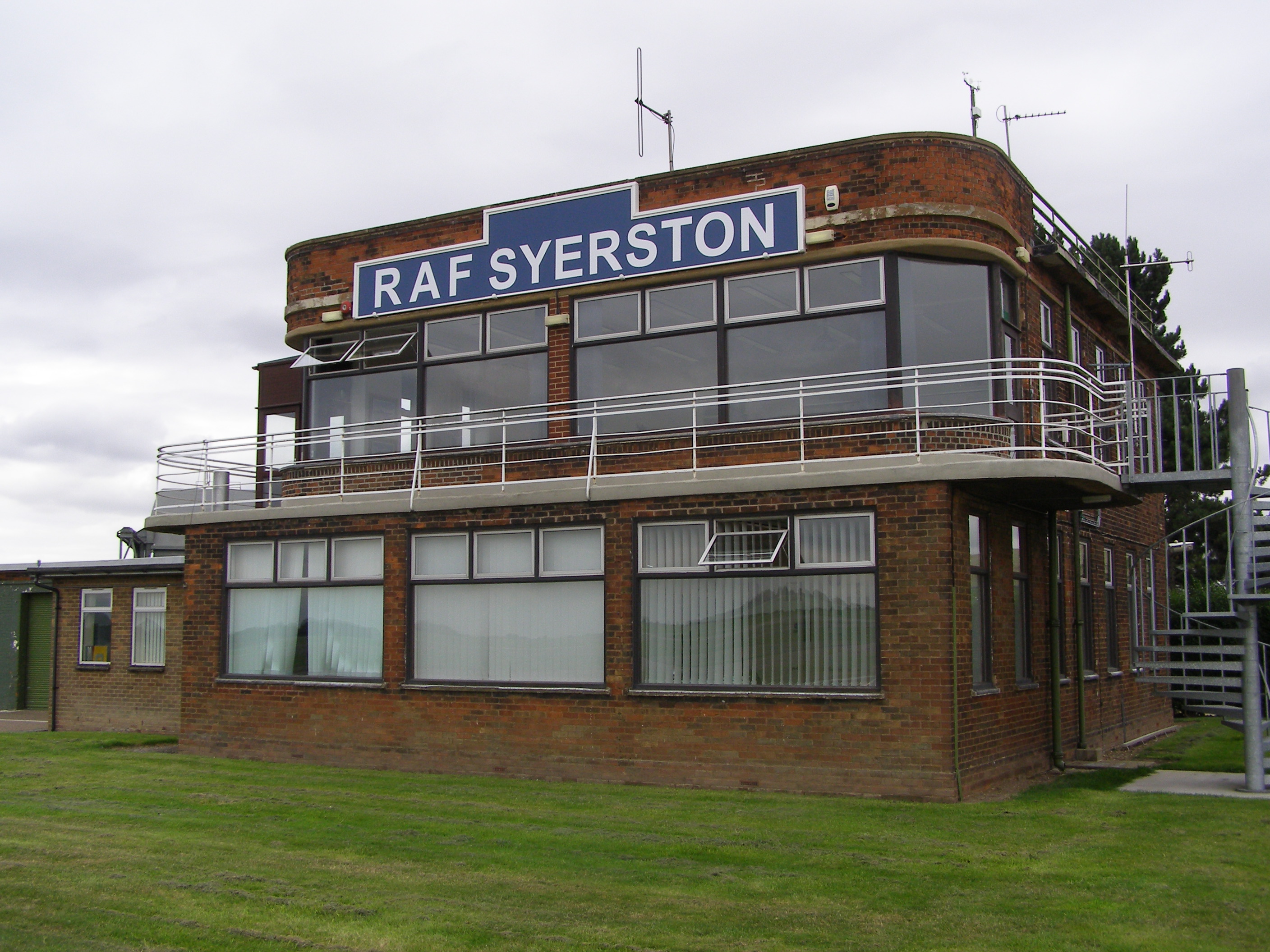
RAF Syerston
Royal Air Force Syerston, commonly known simply as RAF Syerston (ICAO: EGXY), is a Royal Air Force station in the parish of Flintham, near Newark, Nottinghamshire...
Nearby Amenities
Located within 500m of 53.003352,-0.91039982Have you been to The Park?
Leave your review of The Park below (or comments, questions and feedback).