Kennel Wood
Wood, Forest in Nottinghamshire Rushcliffe
England
Kennel Wood

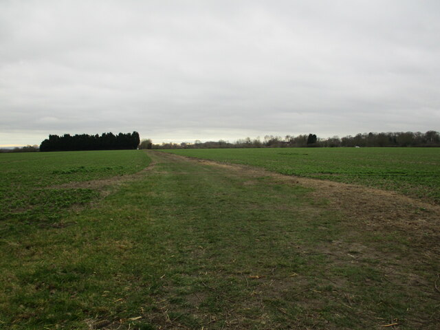
Kennel Wood is a picturesque forest located in Nottinghamshire, England. Covering an area of approximately 100 hectares, it is nestled in the heart of Sherwood Forest, renowned for its association with the legendary figure, Robin Hood. The wood is easily accessible, situated just a few miles from the city of Nottingham.
Kennel Wood is characterized by its dense canopy of mature oak, birch, and beech trees, providing a lush green canopy that offers a sense of tranquility and shelter to its visitors. The forest floor is carpeted with a rich diversity of flora, including bluebells, wood anemones, and wild garlic, creating a vibrant and enchanting landscape.
The wood is a haven for wildlife, attracting a wide array of species. Bird enthusiasts can spot various woodland birds such as woodpeckers, owls, and thrushes, while the keen-eyed may spot deer, foxes, rabbits, and squirrels among the trees. Nature lovers can enjoy peaceful walks along the well-maintained trails that wind through the forest, immersing themselves in the beauty and serenity of the surroundings.
Additionally, Kennel Wood offers excellent opportunities for outdoor activities. Visitors can explore the forest on foot, indulge in birdwatching, or even participate in organized nature walks and guided tours. The wood also features designated picnic areas, providing a perfect spot to enjoy a leisurely lunch amidst the natural scenery.
Overall, Kennel Wood is a captivating destination for nature enthusiasts, offering a peaceful retreat from the hustle and bustle of daily life. Its stunning landscapes, diverse wildlife, and recreational facilities make it an ideal location for a day out, providing an opportunity to reconnect with nature and appreciate the beauty of the Nottinghamshire countryside.
If you have any feedback on the listing, please let us know in the comments section below.
Kennel Wood Images
Images are sourced within 2km of 53.000118/-0.90374592 or Grid Reference SK7345. Thanks to Geograph Open Source API. All images are credited.


Kennel Wood is located at Grid Ref: SK7345 (Lat: 53.000118, Lng: -0.90374592)
Administrative County: Nottinghamshire
District: Rushcliffe
Police Authority: Nottinghamshire
What 3 Words
///swinging.ditching.gazed. Near East Bridgford, Nottinghamshire
Nearby Locations
Related Wikis
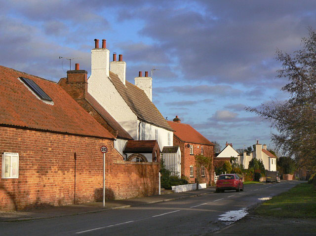
Screveton
Screveton (pronounced locally "Screveeton" or "Screeton") is an English parish and village in the Rushcliffe borough of Nottinghamshire, with about 100...
Flintham
Flintham is a village and civil parish in the Rushcliffe district in Nottinghamshire, 7 miles (11 km) from Newark-on-Trent and opposite RAF Syerston on...

Kneeton
Kneeton is a village in the county of Nottinghamshire, England. The population as of the 2011 census remained less than 100. It is included in the civil...
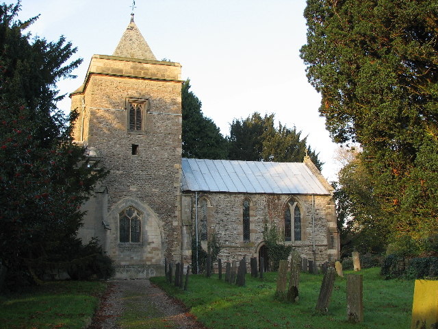
St Wilfrid's Church, Screveton
St Wilfrid's Church, Screveton is a Grade I listed parish church in the Church of England in Screveton. == History == The church dates from the 13th century...
Nearby Amenities
Located within 500m of 53.000118,-0.90374592Have you been to Kennel Wood?
Leave your review of Kennel Wood below (or comments, questions and feedback).