Hales
Downs, Moorland in Yorkshire
England
Hales
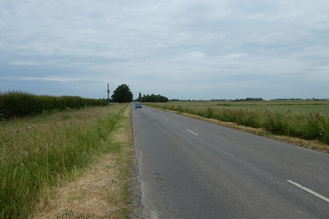
Hales is a picturesque village located in the county of Yorkshire, England. Situated amidst the stunning landscape of the Yorkshire Downs and Moorland, the village is known for its idyllic charm and natural beauty.
The village of Hales is home to a small population, with its residents enjoying a peaceful and tranquil lifestyle. Surrounded by rolling hills and vast open spaces, it offers a perfect retreat for those seeking a break from the hustle and bustle of city life. The breathtaking views of the moorland, with its heather-clad hills and expansive skies, are a treat for nature lovers and hikers alike.
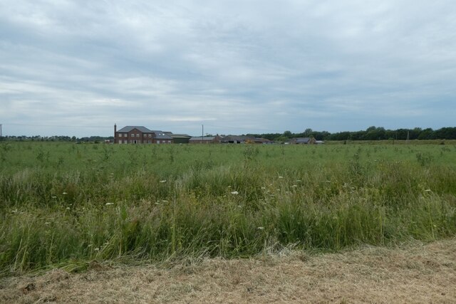
The village itself boasts a traditional English charm, with quaint cottages and stone-built houses lining its narrow streets. The local community is close-knit and friendly, fostering a warm and welcoming atmosphere for visitors.
Despite its small size, Hales offers a range of amenities to cater to the needs of its residents and visitors. There are a few local shops and a pub that serves as a hub for social gatherings and community events.
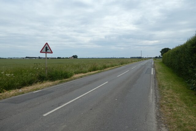
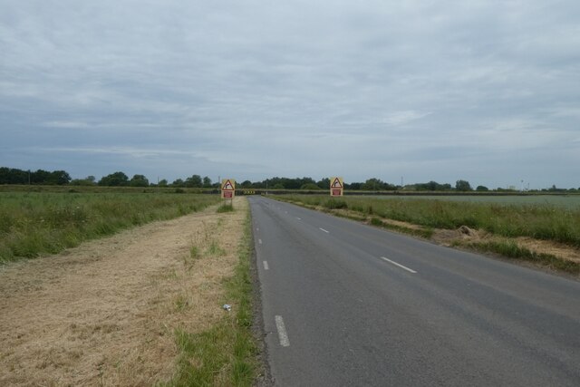
For outdoor enthusiasts, Hales provides ample opportunities for activities such as hiking, cycling, and horse riding. The surrounding moorland and downs offer numerous trails and paths, allowing visitors to explore the stunning countryside.
In summary, Hales, Yorkshire (Downs, Moorland) is a charming village set amidst the natural beauty of the Yorkshire Downs and Moorland. With its peaceful atmosphere, stunning landscapes, and warm community, it offers a delightful escape for those seeking a taste of rural English life.
If you have any feedback on the listing, please let us know in the comments section below.
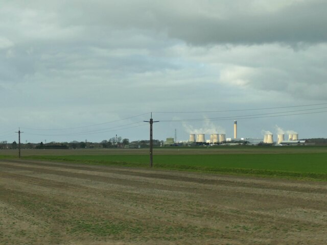
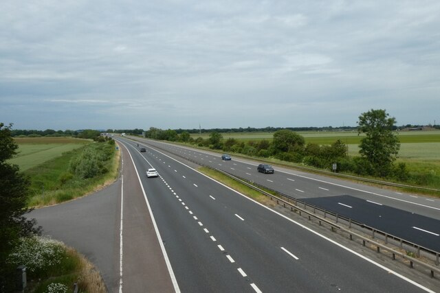
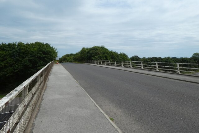
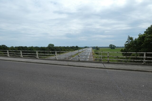
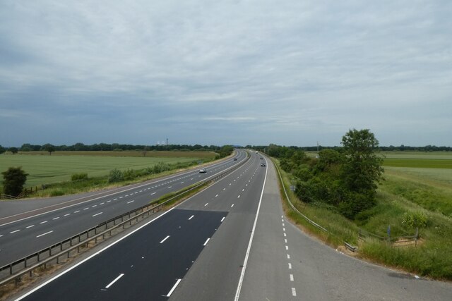
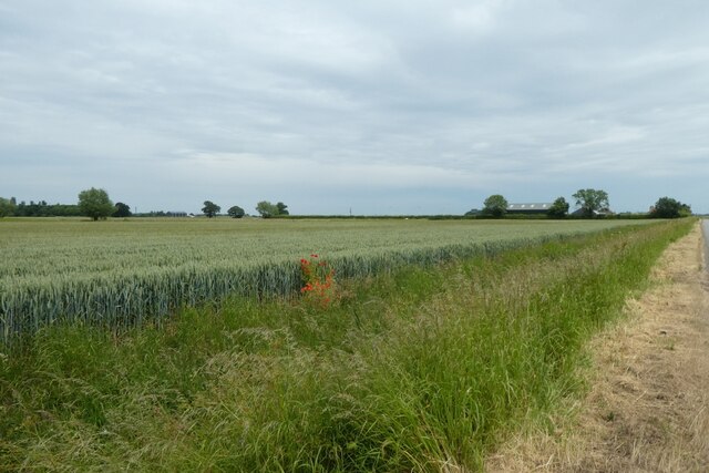
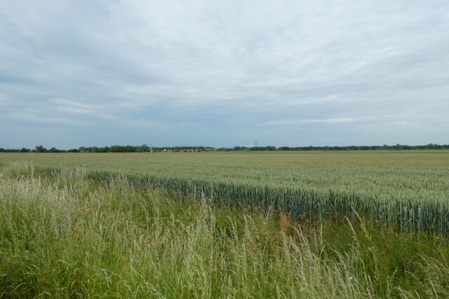
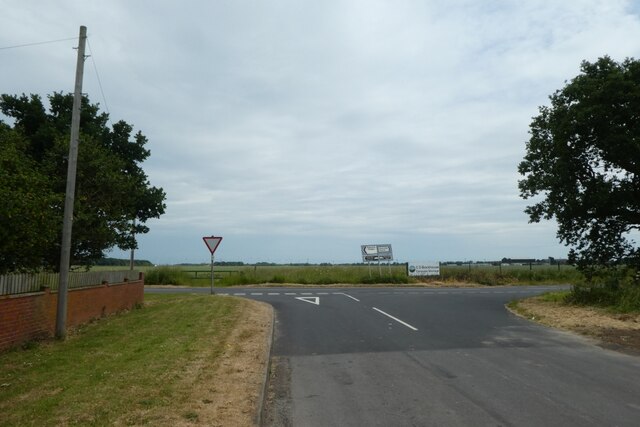
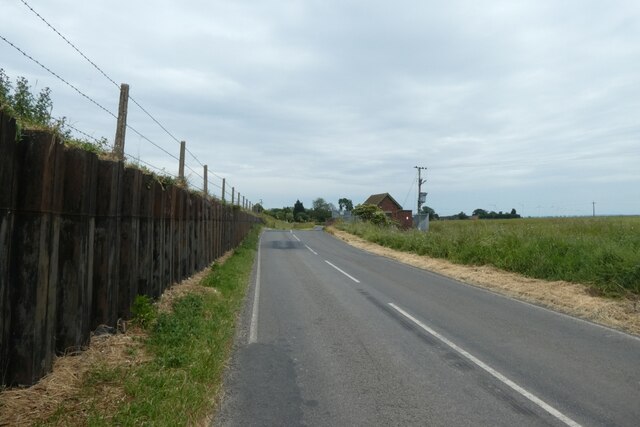
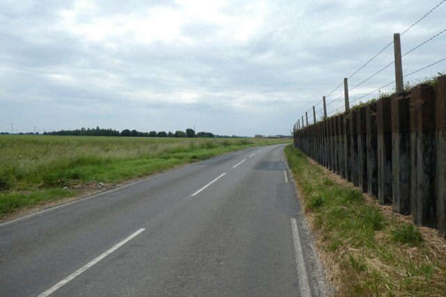
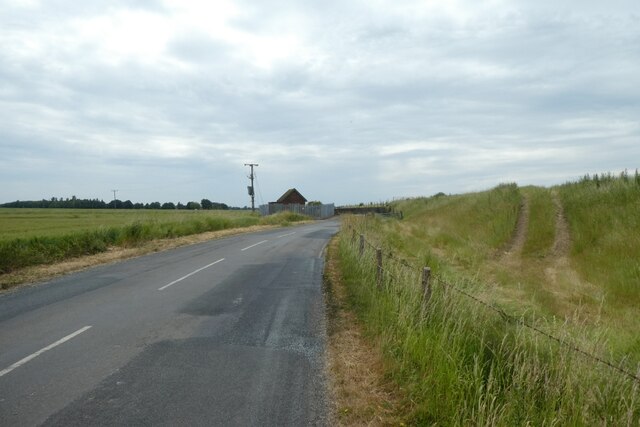
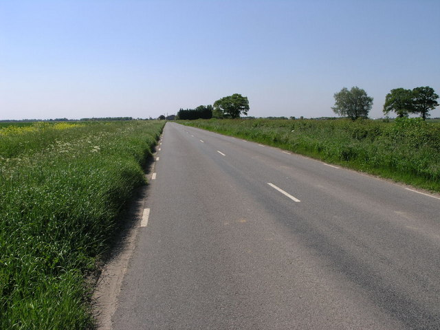
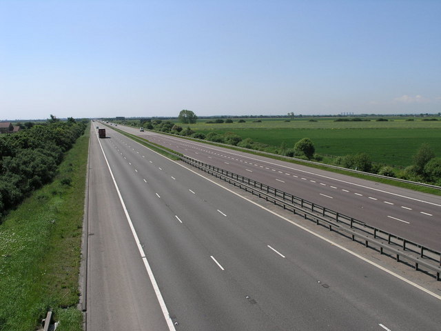
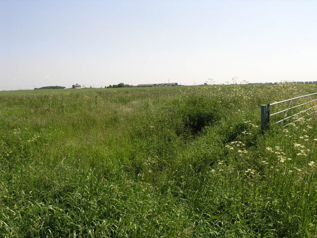
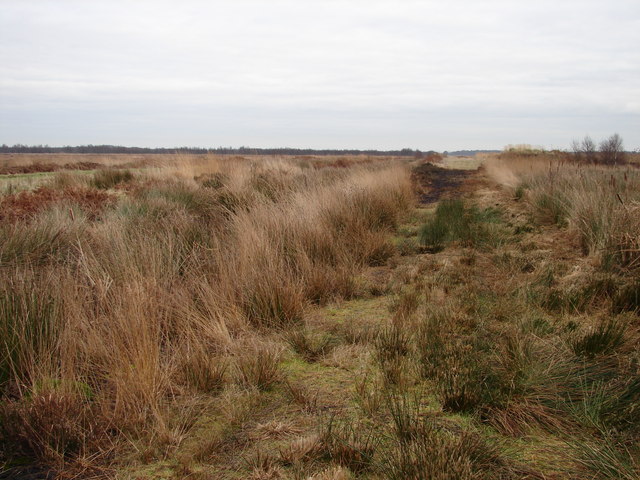
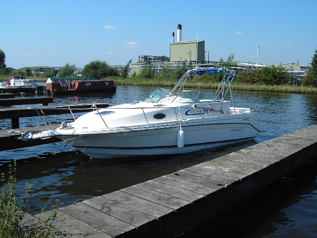
Hales Images
Images are sourced within 2km of 53.669828/-0.93999349 or Grid Reference SE7019. Thanks to Geograph Open Source API. All images are credited.
Hales is located at Grid Ref: SE7019 (Lat: 53.669828, Lng: -0.93999349)
Division: West Riding
Unitary Authority: East Riding of Yorkshire
Police Authority: Humberside
What 3 Words
///unto.thinnest.minimums. Near Rawcliffe, East Yorkshire
Nearby Locations
Related Wikis
Humberhead Levels
The Humberhead Levels is a national character area covering a large expanse of flat, low-lying land towards the western end of the Humber estuary in northern...
Rawcliffe Bridge
Rawcliffe Bridge is a small hamlet in the East Riding of Yorkshire, England. It is situated approximately 3 miles (4.8 km) south-west of Goole and lies...
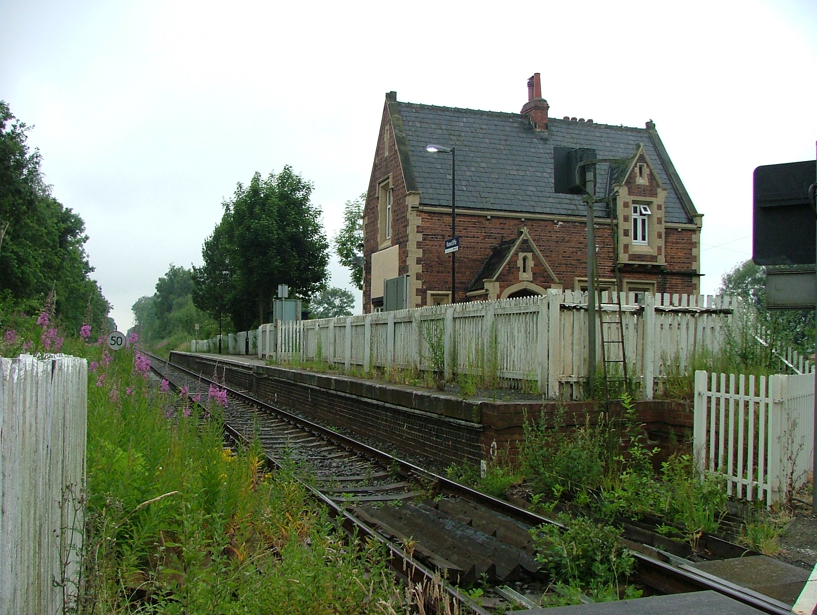
Rawcliffe railway station
Rawcliffe railway station is a railway station that serves the village of Rawcliffe in the East Riding of Yorkshire, England. The station is located on...

Goole Rural District
Goole was a rural district in the West Riding of Yorkshire, England from 1894 to 1974.It was created under the Local Government Act 1894, based on most...
Nearby Amenities
Located within 500m of 53.669828,-0.93999349Have you been to Hales?
Leave your review of Hales below (or comments, questions and feedback).