Acomb Common
Downs, Moorland in Yorkshire
England
Acomb Common

Acomb Common is a vast and picturesque expanse of open land located in the county of Yorkshire, England. Stretching over an area of approximately 500 acres, this beautiful common lies on the outskirts of the historic city of York.
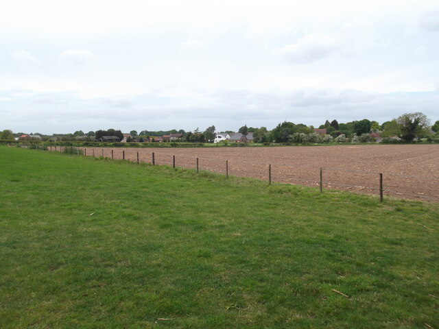
The terrain of Acomb Common is characterized by a combination of rolling hills, gentle slopes, and heather-covered moorland. Its location on the edge of the Yorkshire Downs lends itself to stunning panoramic views of the surrounding countryside. The common is adorned with a variety of native flora and fauna, including vibrant wildflowers, grasses, and mosses. The heathland provides a habitat for a range of bird species, such as curlews, lapwings, and skylarks, making it a popular destination for birdwatchers.
Visitors to Acomb Common can enjoy a multitude of recreational activities. The extensive network of footpaths and trails invites walkers and hikers to explore the area, taking in the breathtaking scenery along the way. The common also offers opportunities for cycling and horse riding, with designated tracks and bridleways available for these pursuits. Families often flock to this natural haven for picnics, games, and even kite flying.
Acomb Common is not only a cherished natural space but also holds historical significance. The remnants of ancient settlements, including burial mounds and stone circles, can be found scattered throughout the area, offering glimpses into the lives of those who once inhabited the land.
Overall, Acomb Common is a haven for nature enthusiasts and a place of tranquility and beauty, offering a unique blend of rugged moorland, rolling hills, and historical intrigue.
If you have any feedback on the listing, please let us know in the comments section below.
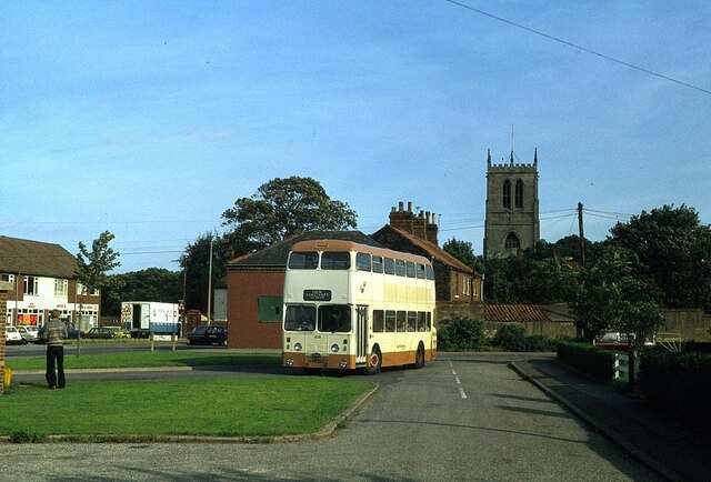
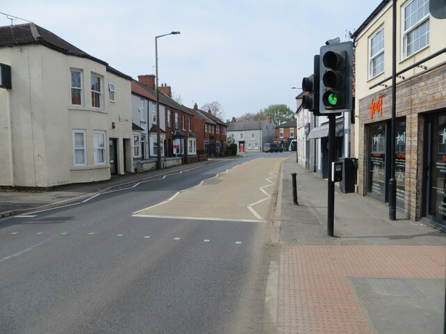
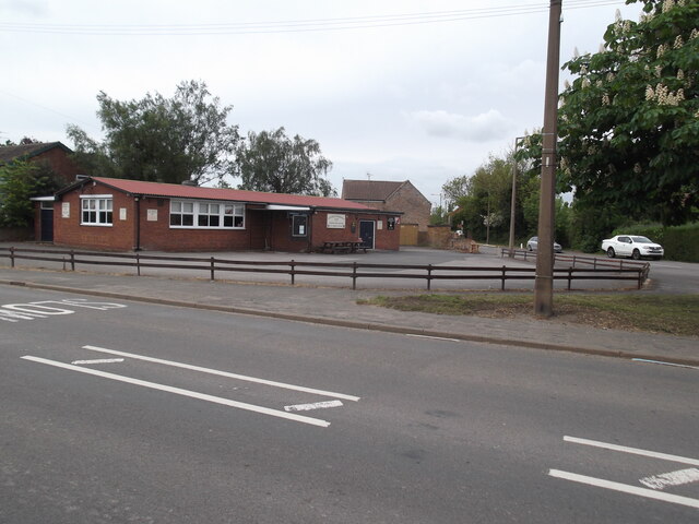
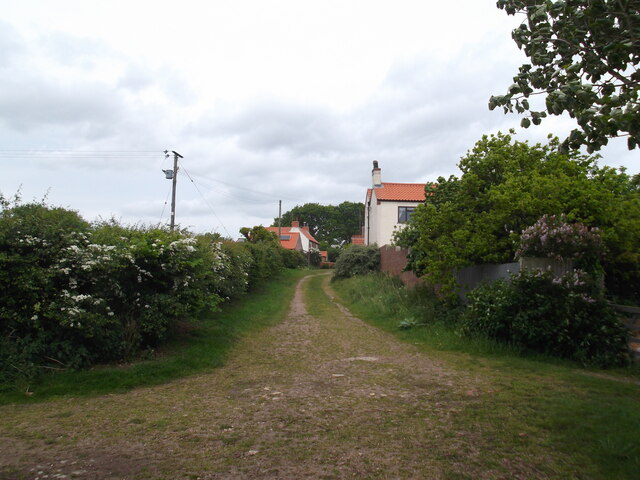
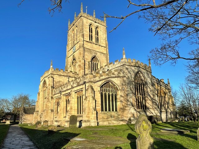
Acomb Common Images
Images are sourced within 2km of 53.577323/-0.97792211 or Grid Reference SE6709. Thanks to Geograph Open Source API. All images are credited.


Acomb Common is located at Grid Ref: SE6709 (Lat: 53.577323, Lng: -0.97792211)
Division: West Riding
Unitary Authority: Doncaster
Police Authority: South Yorkshire
What 3 Words
///soonest.grounded.appetite. Near Hatfield, South Yorkshire
Nearby Locations
Related Wikis

HM Prison Hatfield
HM Prison Hatfield (formerly HMP & YOI Moorland Open) is a Category D men's prison and Young Offenders Institution, located near Hatfield Woodhouse in...

Hatfield Manor House
Hatfield Manor House is a remodelled 18th century Grade-I listed manor house in the town of Hatfield near Doncaster, South Yorkshire, which is based on...

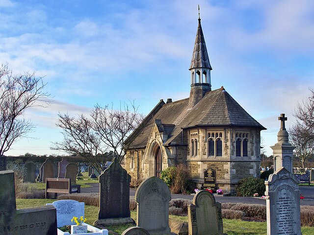
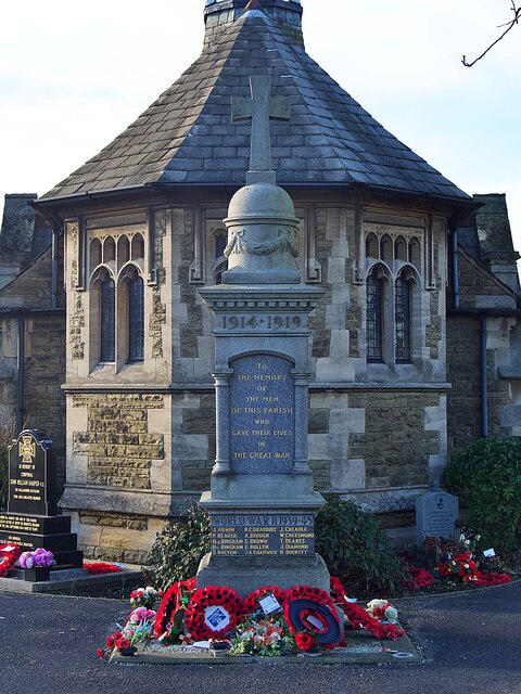
St Lawrence's Church, Hatfield
St Lawrence's Church is the parish church of Hatfield, South Yorkshire, which lies north-east of Doncaster in England. The oldest parts of the church date...

Hatfield, South Yorkshire
Hatfield is a town and civil parish in the City of Doncaster in South Yorkshire, England. It had a population of 17,236 at the 2011 Census. The town is...
Nearby Amenities
Located within 500m of 53.577323,-0.97792211Have you been to Acomb Common?
Leave your review of Acomb Common below (or comments, questions and feedback).