Kexby Common

Downs, Moorland in Yorkshire

England

Kexby Common

Elvington Air Museum
Elvington Air Museum Credit: Martin Norman

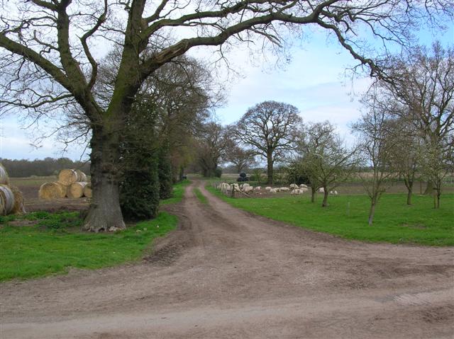
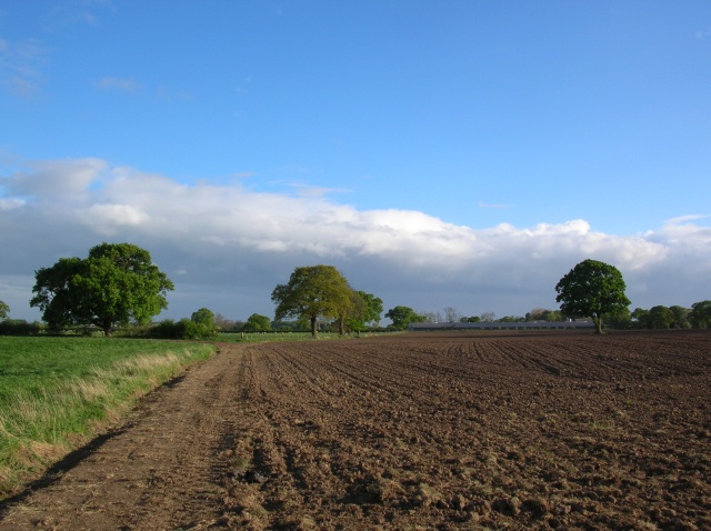
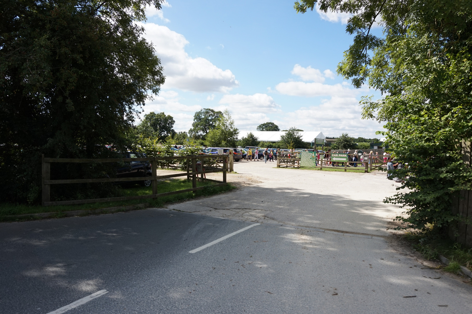
Kexby Common, located in the county of Yorkshire, England, is a picturesque area renowned for its stunning natural beauty and diverse landscapes. Situated amidst the Yorkshire Downs and Moorland, it offers a captivating blend of rolling hills, heather-covered moors, and verdant meadows.

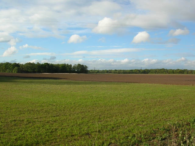
Covering an expansive area, Kexby Common is a haven for wildlife enthusiasts and nature lovers alike. The common is home to a rich array of flora and fauna, including various species of birds, mammals, and plants. Visitors can witness the vibrant colors of wildflowers in the spring and summer months, while autumn brings a dazzling display of foliage.

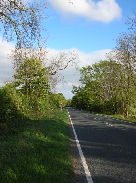
The common's terrain is characterized by undulating hills, which provide breathtaking views of the surrounding countryside. Walking trails crisscross the area, allowing visitors to explore the diverse ecosystems and soak in the tranquil ambiance. The moorland, with its vast expanses of heather and gorse, creates an otherworldly atmosphere, especially when the mist rolls in.

Kexby Common also holds historical significance, with traces of ancient settlements and burial mounds scattered throughout the landscape. These remnants offer glimpses into the area's rich heritage and provide a fascinating insight into the lives of its past inhabitants.

Whether one seeks solitude amidst nature or wishes to engage in outdoor activities such as hiking, birdwatching, or photography, Kexby Common is an idyllic destination. Its serene and unspoiled environment, combined with its breathtaking scenery, make it a must-visit location for those seeking respite from the hustle and bustle of modern life.

If you have any feedback on the listing, please let us know in the comments section below.
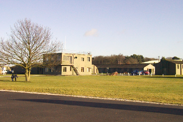
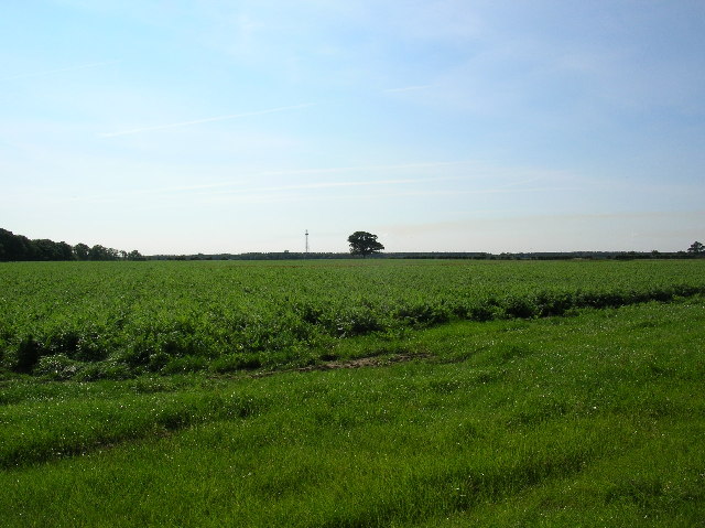
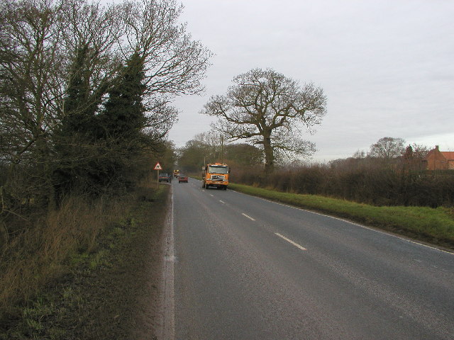
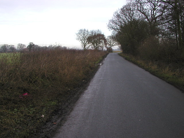
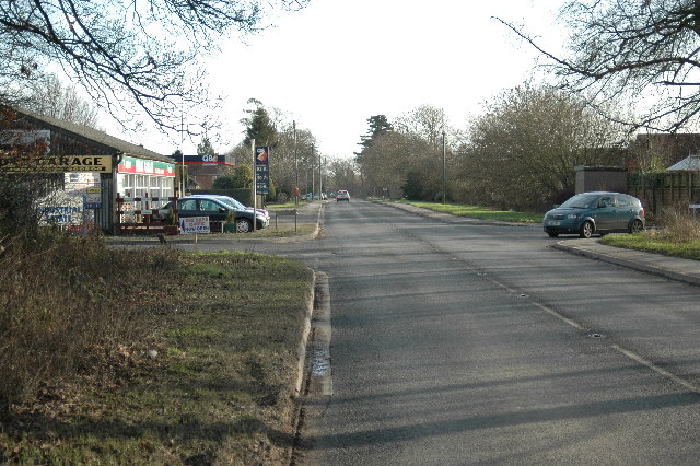
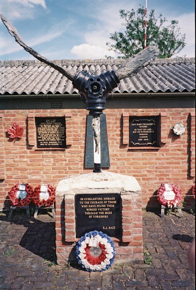
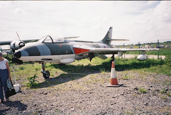
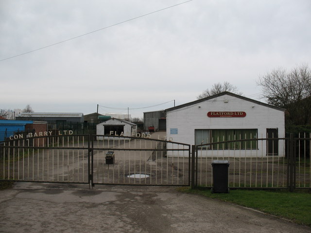
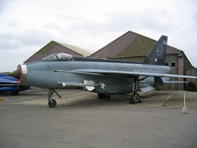
Kexby Common Images

Images are sourced within 2km of 53.935557/-0.96943301 or Grid Reference SE6749. Thanks to Geograph Open Source API. All images are credited.

Elvington Air Museum
Farmland towards Elvington One of the masts on Elvington airfield in this picture taken from Gipsy corner.
Farmland towards Elvington
One of the masts on Elvington airfield in this picture taken from Gipsy corner.
The B1228 Looking NW from MR: SE67394904
The B1228
Looking NW from MR: SE67394904
Minor Road Taken at MR: SE66904984 looking NNE.
Minor Road
Taken at MR: SE66904984 looking NNE.
The road to Dodsworth Wood Taken at MR: SE69354981 looking in a southerly direction.
The road to Dodsworth Wood
Taken at MR: SE69354981 looking in a southerly direction.
The road to Elvington Taken at MR: SE69524881 looking southwards.
The road to Elvington
Taken at MR: SE69524881 looking southwards.
Elvington
Elvington
Yorkshire Air Museum Memorial Garden
Hunter Aircraft at The Yorkshire Air Museum
Kexby Stray Rather plump sheep close to the farm house. This bridleway is part of the Minster Way (ahead and left). The bridleway behind, is slightly trickier to get down.
Kexby Stray
Rather plump sheep close to the farm house. This bridleway is part of the Minster Way (ahead and left). The bridleway behind, is slightly trickier to get down.
Flatford's Engineering Works, Elvington There are a number of industrial units in Elvington, spread out along the York road.
Flatford's Engineering Works, Elvington
There are a number of industrial units in Elvington, spread out along the York road.
War Memorial at Elvington An unusual memorial erected in memory of Free French aircrew based at nearby Elvington Airfield in WW2.  The aircraft shape is that of a Halifax bomber. Both British and French flags occasionally fly from the flagpoles.
War Memorial at Elvington
An unusual memorial erected in memory of Free French aircrew based at nearby Elvington Airfield in WW2. The aircraft shape is that of a Halifax bomber. Both British and French flags occasionally fly from the flagpoles.
Lightning Aircraft at Yorkshire Air Museum
Elvington Lane Travelling away from York down towards Elvington. Ahead to the left is a junction onto Common Lane heading to Dunnington.
Elvington Lane
Travelling away from York down towards Elvington. Ahead to the left is a junction onto Common Lane heading to Dunnington.
Kexby Common The view from part of the Minster Way bridleway.
Kexby Common
The view from part of the Minster Way bridleway.
Towards Kexby Stray Farm Looking south from a farm track along a field edge.
Towards Kexby Stray Farm
Looking south from a farm track along a field edge.
Farmland and dismantled railway From a farm track along a field boundary. The treeline marks the course of the old York to Selby railway line via Wheldrake.
Farmland and dismantled railway
From a farm track along a field boundary. The treeline marks the course of the old York to Selby railway line via Wheldrake.
Dismantled railway The treeline hides the course of the old York to Selby via Wheldrake railway line.  Telegraph poles still stand along this stretch.
Dismantled railway
The treeline hides the course of the old York to Selby via Wheldrake railway line. Telegraph poles still stand along this stretch.
Show me another place!

Kexby Common is located at Grid Ref: SE6749 (Lat: 53.935557, Lng: -0.96943301)

Division: East Riding

Unitary Authority: York

Police Authority: North Yorkshire

What 3 Words

///puff.innocence.punctual. Near Elvington, North Yorkshire

Related Wikis

Yorkshire Air Museum

The Yorkshire Air Museum & Allied Air Forces Memorial is an aviation museum in Elvington, York on the site of the former RAF Elvington airfield, a Second...

York Maze

York Maze is a maze constructed from maize located off the B1228 road near Elvington in England. == History == The maze is owned by former farmer Tom Pearce...

RAF Elvington

Royal Air Force Elvington or more simply RAF Elvington is a former Royal Air Force station which operated from the beginning of the Second World War until...

Elvington (DVLR) railway station

Elvington railway station served the village of Elvington, North Yorkshire, England from 1913 to 1972 on the Derwent Valley Light Railway. == History... ==

Nearby Amenities

Located within 500m of 53.935557,-0.96943301
Razed Information: guidepost
Razed Tourism: information
Lat/Long: 53.9341727/-0.9764446
Information: guidepost
Tourism: information
Lat/Long: 53.9365838/-0.9668601
Line Management: termination
Material: wood
Power: pole
Transformer: distribution
Lat/Long: 53.934513/-0.9756218
The data included in this document is from www.openstreetmap.org. The data is made available under ODbL.

Have you been to Kexby Common?

Leave your review of Kexby Common below (or comments, questions and feedback).