Ewelme Downs
Downs, Moorland in Oxfordshire South Oxfordshire
England
Ewelme Downs
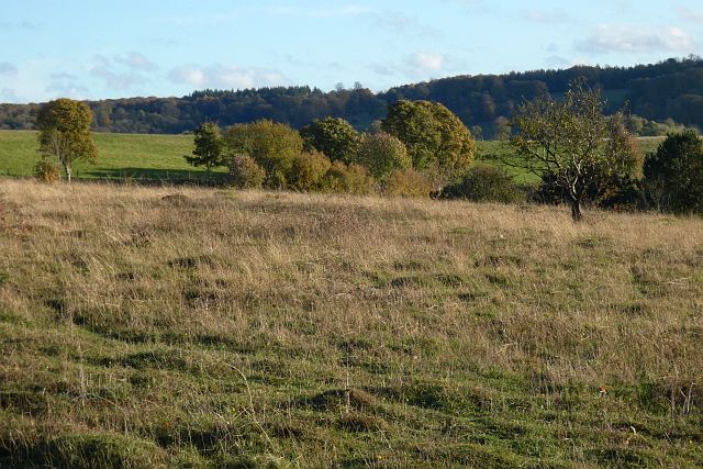
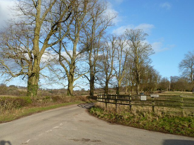
Ewelme Downs is a picturesque area located in Oxfordshire, England. Stretching across approximately 400 acres, it is characterized by its rolling hills, vast open spaces, and diverse flora and fauna. The downs are situated in the Chiltern Hills, known for their outstanding natural beauty.
This area is a haven for nature enthusiasts, offering breathtaking views and a tranquil atmosphere. The downs are home to a variety of plant and animal species, including wildflowers, butterflies, and birds. Visitors can spot species such as skylarks, kestrels, and yellowhammers as they explore the open moorland.
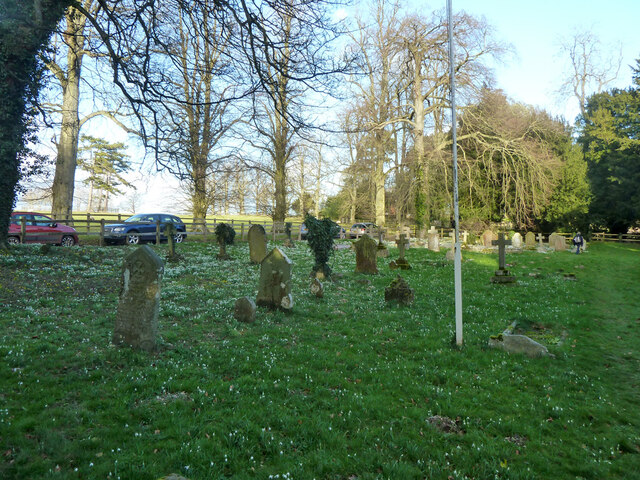
Ewelme Downs is also steeped in history, with evidence of human habitation dating back thousands of years. Ancient burial mounds can be found scattered across the landscape, providing a glimpse into the past. The area has been designated as a Site of Special Scientific Interest (SSSI) due to its ecological importance and historical significance.
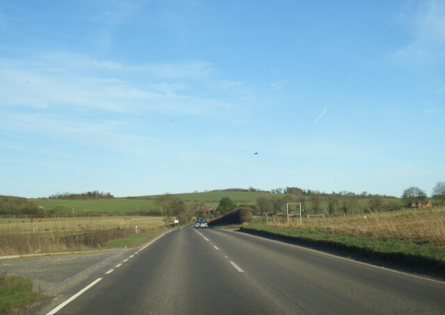
This beautiful expanse of land is a popular destination for outdoor activities such as walking, hiking, and picnicking. Visitors can explore the numerous footpaths and bridleways that crisscross the downs, allowing them to fully immerse themselves in the natural beauty of the surroundings.
Ewelme Downs is a true gem in the Oxfordshire countryside, offering a peaceful retreat from the hustle and bustle of everyday life. Whether you are a nature lover, history enthusiast, or simply seeking a tranquil escape, this idyllic location is sure to captivate and inspire.
If you have any feedback on the listing, please let us know in the comments section below.
Ewelme Downs Images
Images are sourced within 2km of 51.605954/-1.0422313 or Grid Reference SU6690. Thanks to Geograph Open Source API. All images are credited.


Ewelme Downs is located at Grid Ref: SU6690 (Lat: 51.605954, Lng: -1.0422313)
Administrative County: Oxfordshire
District: South Oxfordshire
Police Authority: Thames Valley
What 3 Words
///unicorns.handwriting.safely. Near Watlington, Oxfordshire
Nearby Locations
Related Wikis

Swyncombe Downs
Swyncombe Downs is a 47.1-hectare (116-acre) biological Site of Special Scientific Interest east of Wallingford in Oxfordshire.This is an area of chalk...

Swyncombe
Swyncombe is a hamlet and large civil parish in the high Chilterns, within the Area of Outstanding Natural Beauty about 4+1⁄2 miles (7 km) east of Wallingford...

A4130 road
The A4130 is a British A road which runs from a junction with the A404 at Burchetts Green (Maidenhead), Berkshire to the A417 at Rowstock in Oxfordshire...
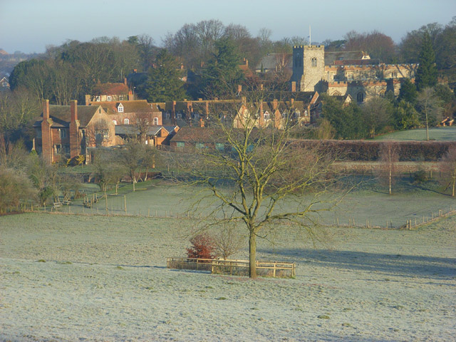
Ewelme
Ewelme () is a village and civil parish in the Chiltern Hills in South Oxfordshire, 2.5 miles (4 km) north-east of the market town of Wallingford. The...

HM Prison Huntercombe
HM Prison Huntercombe is a Category C men's prison, located near Nuffield in Oxfordshire, England. It is operated by His Majesty's Prison Service. ��2...

Nuffield, Oxfordshire
Nuffield is a village and civil parish in the Chiltern Hills in South Oxfordshire, England, just over 4 miles (6 km) east of Wallingford. The 2011 Census...

Nuffield Place
Nuffield Place is a country house near the village of Nuffield in the Chiltern Hills in South Oxfordshire, England, just over 4 miles (6 km) east of Wallingford...
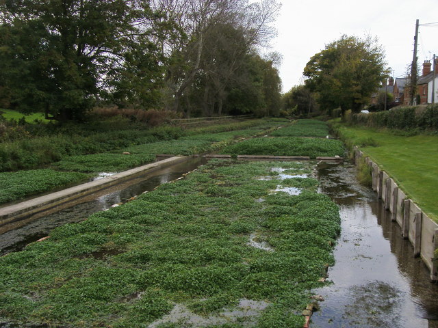
Ewelme Watercress Beds
Ewelme Watercress Beds is a 2.6-hectare (6.4-acre) Local Nature Reserve in Ewelme in Oxfordshire. It is owned and managed by the Chiltern Society.A stream...
Nearby Amenities
Located within 500m of 51.605954,-1.0422313Have you been to Ewelme Downs?
Leave your review of Ewelme Downs below (or comments, questions and feedback).