Down Shaw
Wood, Forest in Oxfordshire South Oxfordshire
England
Down Shaw

Down Shaw is a small village located in Oxfordshire, England. Situated within a wooded area, it is known for its picturesque surroundings and serene atmosphere. The village is nestled in the heart of a dense forest, making it an ideal destination for nature lovers and those seeking tranquility.
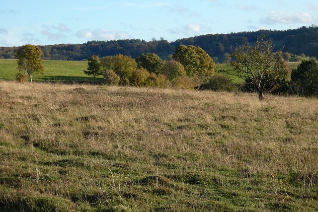
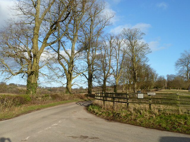
The woodland surrounding Down Shaw is abundant with various tree species, including oak, beech, and birch, creating a diverse and vibrant ecosystem. The forest offers numerous walking trails, allowing visitors to explore the natural beauty of the area. Wildlife is also plentiful, with sightings of deer, foxes, and a wide array of bird species common in the region.
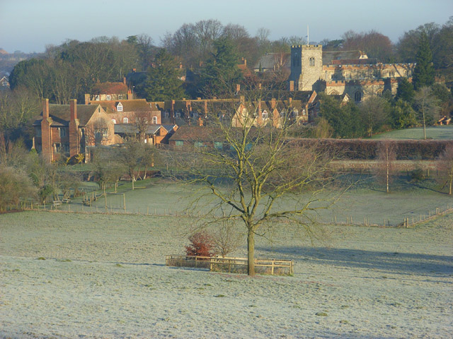
The village itself consists of a small community, primarily comprising traditional cottages and houses that blend seamlessly with the natural environment. The residents of Down Shaw are known for their friendly and welcoming nature, making visitors feel at home. The village also has a local pub, which serves as a meeting place for locals and visitors alike.
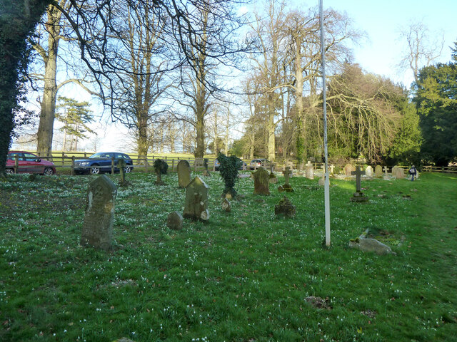
For those interested in history, Down Shaw has a rich heritage. The village dates back several centuries and has preserved many of its historical buildings, including a charming church that stands as a testament to the area's past.
Overall, Down Shaw in Oxfordshire offers a unique and enchanting experience for nature enthusiasts and those seeking a peaceful retreat. Its picturesque woodland, friendly community, and rich history make it a hidden gem in the heart of the English countryside.
If you have any feedback on the listing, please let us know in the comments section below.
Down Shaw Images
Images are sourced within 2km of 51.606545/-1.0353597 or Grid Reference SU6690. Thanks to Geograph Open Source API. All images are credited.


Down Shaw is located at Grid Ref: SU6690 (Lat: 51.606545, Lng: -1.0353597)
Administrative County: Oxfordshire
District: South Oxfordshire
Police Authority: Thames Valley
What 3 Words
///quail.motor.upset. Near Watlington, Oxfordshire
Nearby Locations
Related Wikis

Swyncombe Downs
Swyncombe Downs is a 47.1-hectare (116-acre) biological Site of Special Scientific Interest east of Wallingford in Oxfordshire.This is an area of chalk...

Swyncombe
Swyncombe is a hamlet and large civil parish in the high Chilterns, within the Area of Outstanding Natural Beauty about 4+1⁄2 miles (7 km) east of Wallingford...

HM Prison Huntercombe
HM Prison Huntercombe is a Category C men's prison, located near Nuffield in Oxfordshire, England. It is operated by His Majesty's Prison Service. ��2...

A4130 road
The A4130 is a British A road which runs from a junction with the A404 at Burchetts Green (Maidenhead), Berkshire to the A417 at Rowstock in Oxfordshire...

Nuffield Place
Nuffield Place is a country house near the village of Nuffield in the Chiltern Hills in South Oxfordshire, England, just over 4 miles (6 km) east of Wallingford...

Nuffield, Oxfordshire
Nuffield is a village and civil parish in the Chiltern Hills in South Oxfordshire, England, just over 4 miles (6 km) east of Wallingford. The 2011 Census...
Ewelme
Ewelme () is a village and civil parish in the Chiltern Hills in South Oxfordshire, 2.5 miles (4 km) north-east of the market town of Wallingford. The...
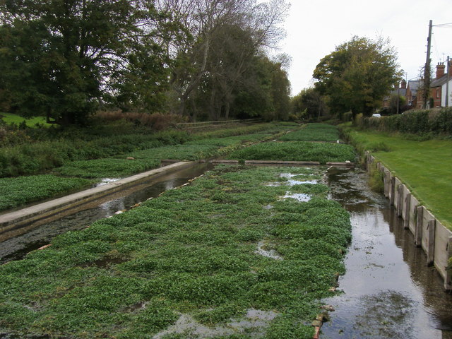
Ewelme Watercress Beds
Ewelme Watercress Beds is a 2.6-hectare (6.4-acre) Local Nature Reserve in Ewelme in Oxfordshire. It is owned and managed by the Chiltern Society.A stream...
Nearby Amenities
Located within 500m of 51.606545,-1.0353597Have you been to Down Shaw?
Leave your review of Down Shaw below (or comments, questions and feedback).