Barlby Common
Downs, Moorland in Yorkshire Selby
England
Barlby Common

Barlby Common is a picturesque area located in Yorkshire, England, known for its stunning landscapes and natural beauty. Situated amidst the Yorkshire Downs and Moorland, this region offers visitors a unique blend of rolling hills, open fields, and expansive moorlands.
Covering an area of approximately 2,000 acres, Barlby Common is a popular destination for nature enthusiasts, hikers, and photographers. The common is characterized by its diverse flora and fauna, including heather, gorse, and various species of birds and mammals. The area boasts several walking trails, allowing visitors to explore its vast expanse and take in the breathtaking views.
The common is also home to a number of historical landmarks, including the remains of a Neolithic burial mound and a Bronze Age settlement. These ancient sites provide a glimpse into the region's rich history and offer visitors a chance to delve into its past.
In addition to its natural and historical attractions, Barlby Common offers various amenities for visitors. There are picnic areas, car parking facilities, and well-maintained paths, making it accessible to all. The common is also a popular spot for horse riding and cycling, with designated routes catering to these activities.
Barlby Common is situated in close proximity to the charming village of Barlby, providing visitors with the opportunity to explore its quaint shops, cafes, and pubs. Overall, Barlby Common stands as a testament to the beauty and serenity of the Yorkshire countryside, making it a must-visit destination for those seeking an escape to nature.
If you have any feedback on the listing, please let us know in the comments section below.
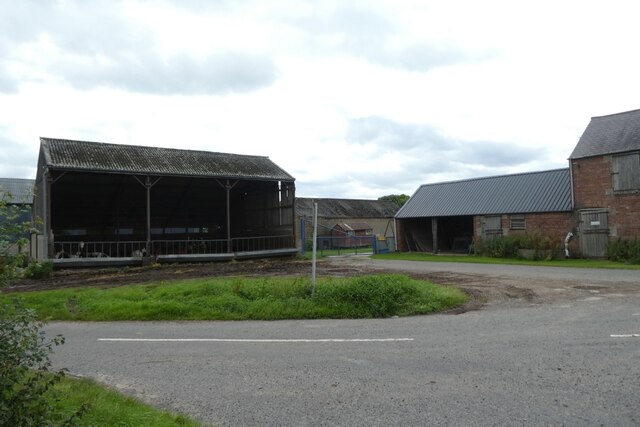
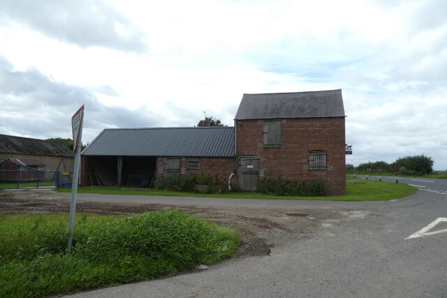
Barlby Common Images
Images are sourced within 2km of 53.812967/-1.0377803 or Grid Reference SE6335. Thanks to Geograph Open Source API. All images are credited.


Barlby Common is located at Grid Ref: SE6335 (Lat: 53.812967, Lng: -1.0377803)
Division: East Riding
Administrative County: North Yorkshire
District: Selby
Police Authority: North Yorkshire
What 3 Words
///skillet.sticks.likewise. Near Barlby, North Yorkshire
Nearby Locations
Related Wikis

Barlby High School
Barlby High School is a mixed secondary school located in Barlby, North Yorkshire, England. The school opened in 1960.Previously a community school administered...

Barlby
Barlby is a linear village in the civil parish of Barlby with Osgodby, in North Yorkshire, England. It is situated 2 miles (3 km) to the north-east of...
RAF Riccall
RAF Riccall is a former Royal Air Force airfield located 3.1 miles (5 km) north east of Selby, North Yorkshire and 7.9 miles (12.7 km) south west of Elvington...
Barlby with Osgodby
Barlby with Osgodby is a civil parish in the Selby district of North Yorkshire, England, just to the north of Selby. The parish covers Barlby and Osgodby...

Riccall railway station
Riccall railway station was a railway station which served the village of Riccall, north of Selby, on the East Coast Main Line. It was opened in 1871,...

Osgodby, Barlby with Osgodby
Osgodby is a village in the civil parish of Barlby with Osgodby, in North Yorkshire, England, 2 miles (3.2 km) from Selby. Its neighbouring village is...
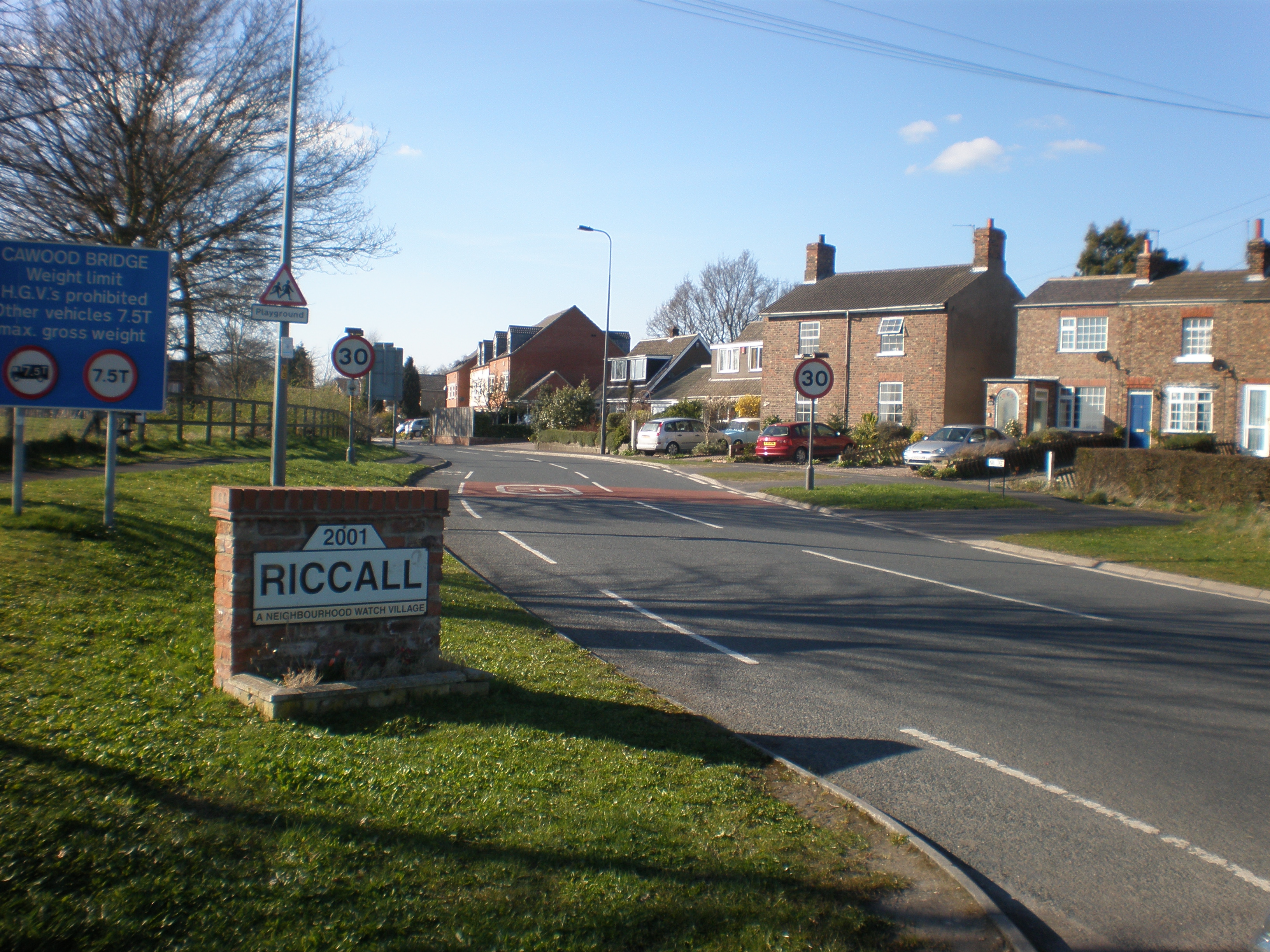
Riccall
Riccall is a village and civil parish in North Yorkshire, England, lying 3.5 miles (6 km) to the north of Selby and 9 miles (14 km) south of York. Riccall...

St Mary's Church, Riccall
St Mary's Church is the parish church of Riccall, a village north of Selby in North Yorkshire, England. The oldest part of the church are the three western...
Nearby Amenities
Located within 500m of 53.812967,-1.0377803Have you been to Barlby Common?
Leave your review of Barlby Common below (or comments, questions and feedback).