Dalby Wood
Wood, Forest in Yorkshire Selby
England
Dalby Wood

Dalby Wood is a picturesque forest located in Yorkshire, England. Spanning over 8,000 acres, it is one of the largest and most diverse woodlands in the area. The wood is managed by the Forestry Commission and is a popular destination for outdoor enthusiasts and nature lovers.
The woodland is a mix of coniferous and deciduous trees, creating a rich and varied habitat for a wide range of flora and fauna. Ancient oaks, beeches, and spruces dominate the landscape, providing a stunning backdrop in every season. The forest floor is covered with a carpet of ferns, wildflowers, and mosses, adding to its natural beauty.
Dalby Wood offers a network of well-maintained trails, making it an ideal location for walking, hiking, and cycling. The paths cater to all abilities, from easy strolls to more challenging routes, allowing visitors to explore the wood at their own pace. Along the way, there are numerous viewpoints that offer breathtaking panoramic views of the surrounding countryside.
Wildlife enthusiasts will be delighted by the diverse range of animals that inhabit the wood. Deer, badgers, foxes, and squirrels are often spotted among the trees, while birdwatchers can observe species such as woodpeckers, owls, and various songbirds. The forest is also home to a large population of red kites, a majestic bird of prey that has been successfully reintroduced to the area.
Dalby Wood is not just a natural paradise, but also offers a range of amenities for visitors. There is a visitor center with information on the forest's history, wildlife, and conservation efforts. Additionally, there are picnic areas, a café, and a shop selling local produce and crafts.
Overall, Dalby Wood is a captivating woodland that showcases the beauty of Yorkshire's natural landscape. With its diverse wildlife, scenic trails, and excellent facilities, it offers a memorable experience for all who visit.
If you have any feedback on the listing, please let us know in the comments section below.
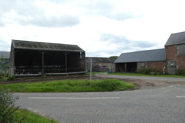
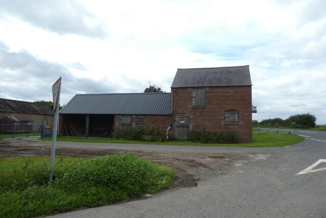
Dalby Wood Images
Images are sourced within 2km of 53.813547/-1.0338941 or Grid Reference SE6335. Thanks to Geograph Open Source API. All images are credited.


Dalby Wood is located at Grid Ref: SE6335 (Lat: 53.813547, Lng: -1.0338941)
Division: East Riding
Administrative County: North Yorkshire
District: Selby
Police Authority: North Yorkshire
What 3 Words
///major.alley.familiar. Near Barlby, North Yorkshire
Nearby Locations
Related Wikis

Barlby High School
Barlby High School is a mixed secondary school located in Barlby, North Yorkshire, England. The school opened in 1960.Previously a community school administered...
RAF Riccall
RAF Riccall is a former Royal Air Force airfield located 3.1 miles (5 km) north east of Selby, North Yorkshire and 7.9 miles (12.7 km) south west of Elvington...

Barlby
Barlby is a linear village in the civil parish of Barlby with Osgodby, in North Yorkshire, England. It is situated 2 miles (3 km) to the north-east of...
Barlby with Osgodby
Barlby with Osgodby is a civil parish in the Selby district of North Yorkshire, England, just to the north of Selby. The parish covers Barlby and Osgodby...

Osgodby, Barlby with Osgodby
Osgodby is a village in the civil parish of Barlby with Osgodby, in North Yorkshire, England, 2 miles (3.2 km) from Selby. Its neighbouring village is...

Riccall railway station
Riccall railway station was a railway station which served the village of Riccall, north of Selby, on the East Coast Main Line. It was opened in 1871,...
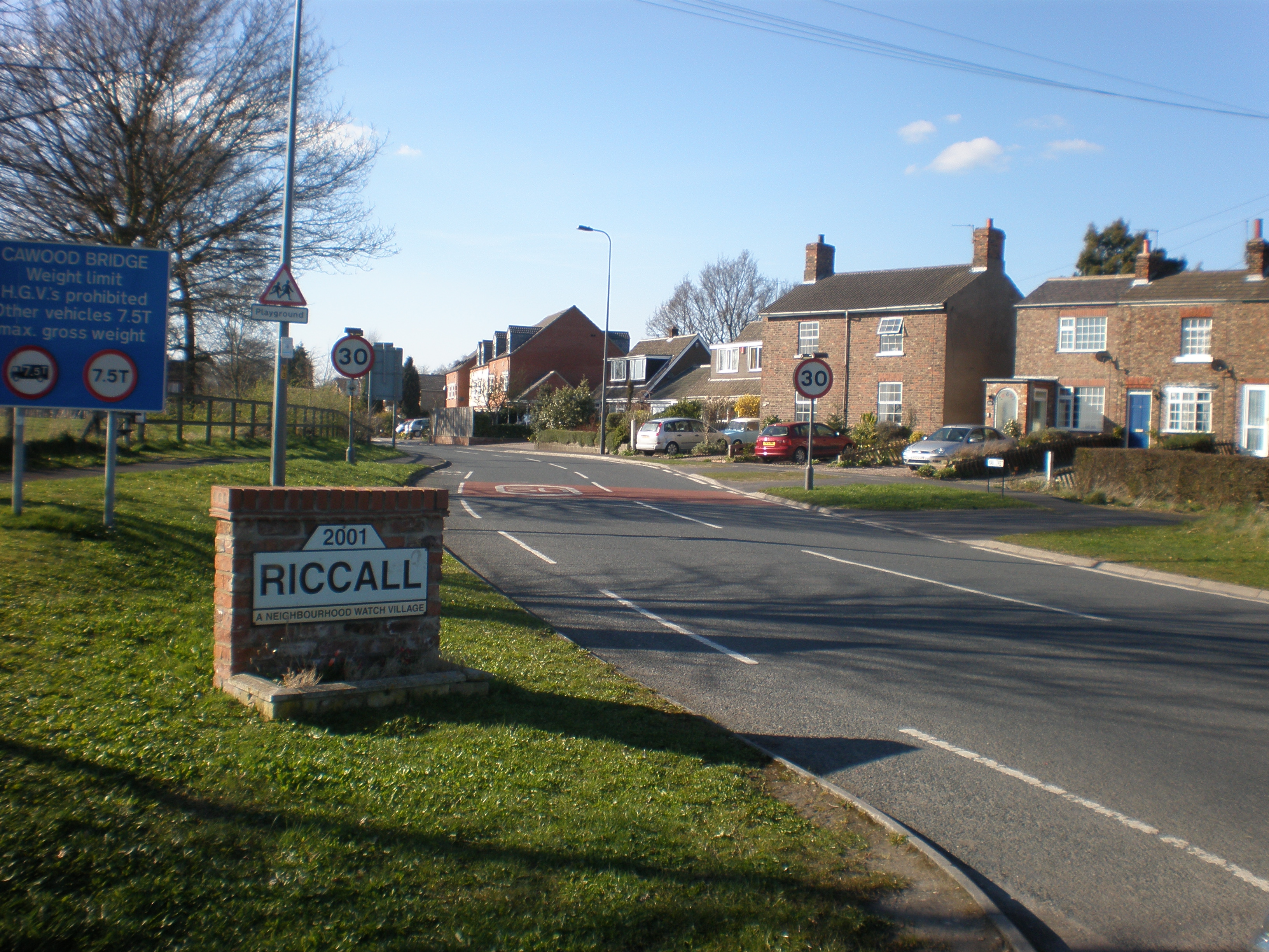
Riccall
Riccall is a village and civil parish in North Yorkshire, England, lying 3.5 miles (6 km) to the north of Selby and 9 miles (14 km) south of York. Riccall...

St Mary's Church, Riccall
St Mary's Church is the parish church of Riccall, a village north of Selby in North Yorkshire, England. The oldest part of the church are the three western...
Nearby Amenities
Located within 500m of 53.813547,-1.0338941Have you been to Dalby Wood?
Leave your review of Dalby Wood below (or comments, questions and feedback).