North Lawn
Downs, Moorland in Nottinghamshire Bassetlaw
England
North Lawn
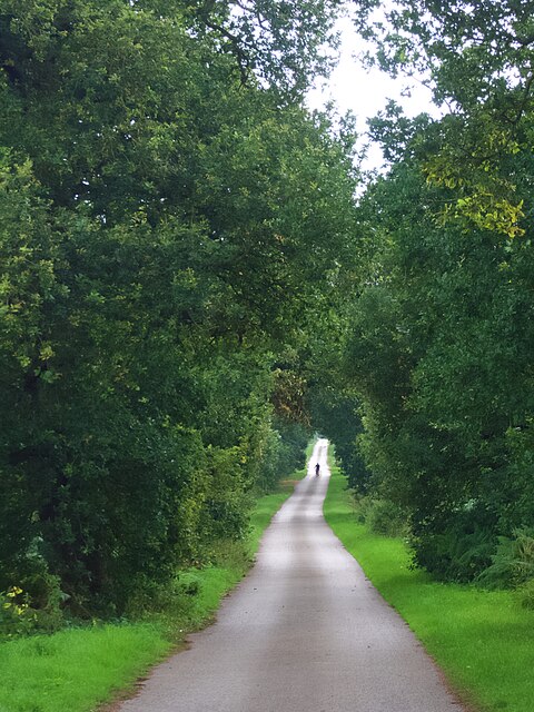
North Lawn is a picturesque area located in Nottinghamshire, England. It is renowned for its stunning natural beauty, characterized by rolling downs and vast stretches of moorland. This region is situated in the northern part of Nottinghamshire and offers a tranquil escape from the bustling city life.
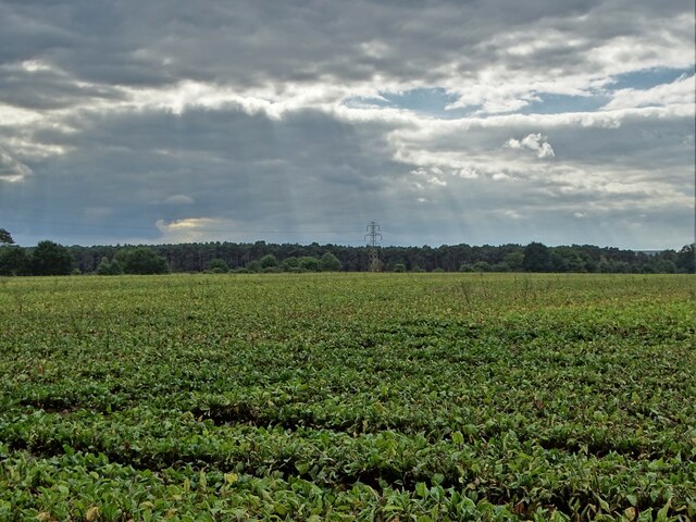
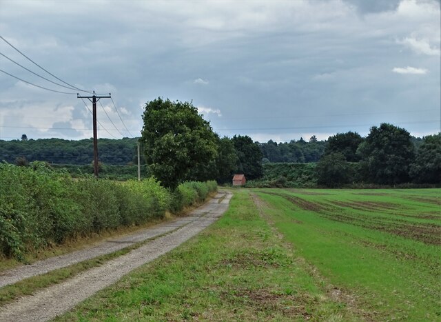
The North Lawn downs are notable for their gently sloping hills, covered in lush green grasses and dotted with vibrant wildflowers. The downs provide a perfect setting for leisurely walks, picnics, and outdoor recreational activities. Visitors can enjoy breathtaking panoramic views of the surrounding countryside, including the distant peaks of nearby hills.
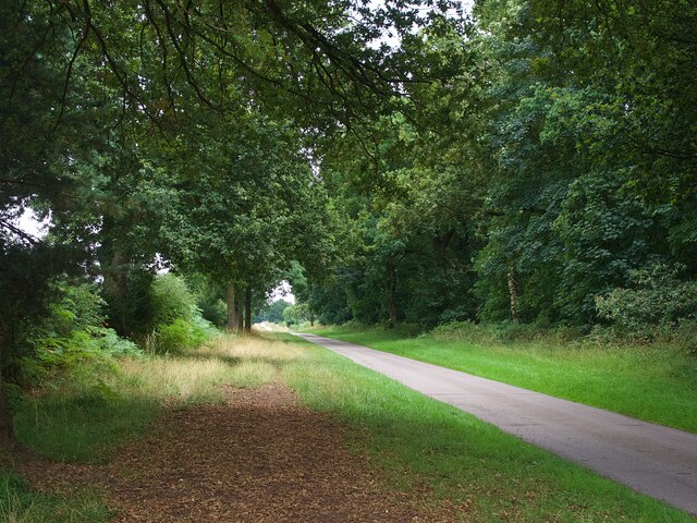
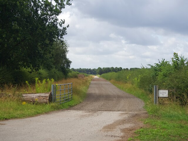
The moorland in North Lawn showcases a unique ecosystem, with heather-covered expanses and scattered patches of woodland. This diverse landscape attracts a range of wildlife, including various bird species, small mammals, and rare plants. Nature enthusiasts can explore the moorland on well-maintained footpaths, immersing themselves in the tranquility of the natural surroundings.
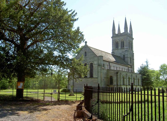
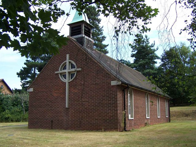
In addition to its natural attractions, North Lawn offers a range of amenities and facilities for visitors. The area boasts a number of charming villages and towns, where one can find quaint shops, cozy pubs, and traditional tea rooms. The local communities exhibit a warm and welcoming atmosphere, providing a delightful experience for tourists.
Overall, North Lawn in Nottinghamshire is a hidden gem for nature lovers and those seeking a peaceful retreat. Its downs and moorland offer a stunning backdrop for outdoor activities, while the local villages provide a taste of rural charm. Whether it's for a day trip or a longer stay, North Lawn is a must-visit destination for anyone seeking natural beauty and tranquility.
If you have any feedback on the listing, please let us know in the comments section below.
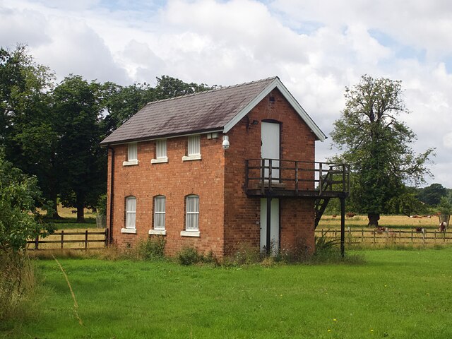
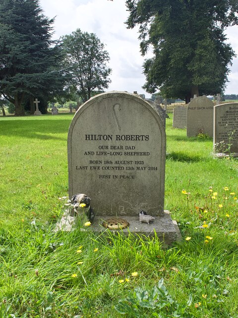
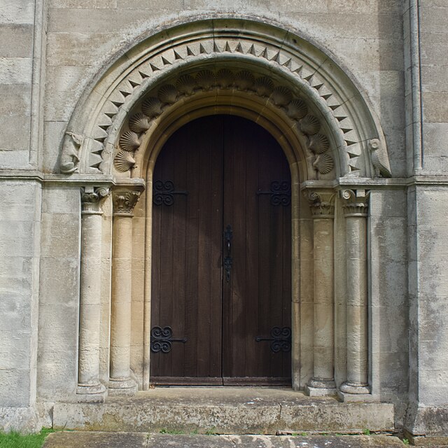
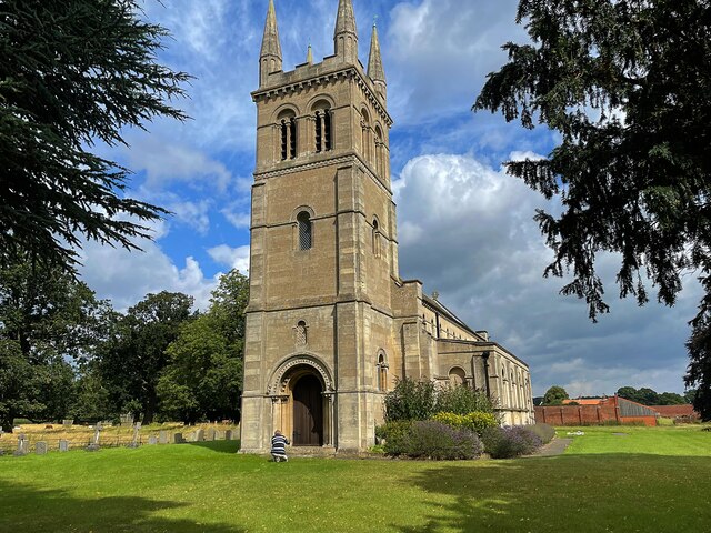
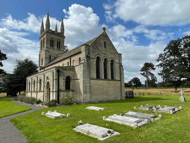
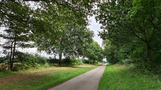
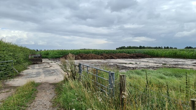
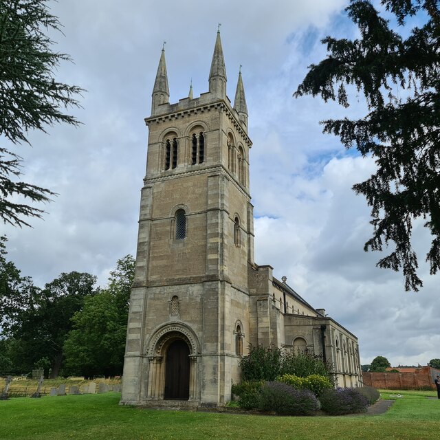
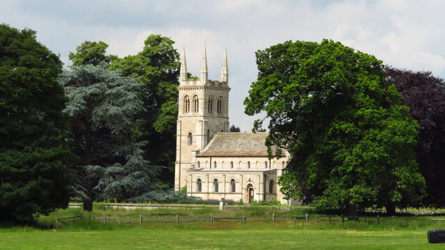
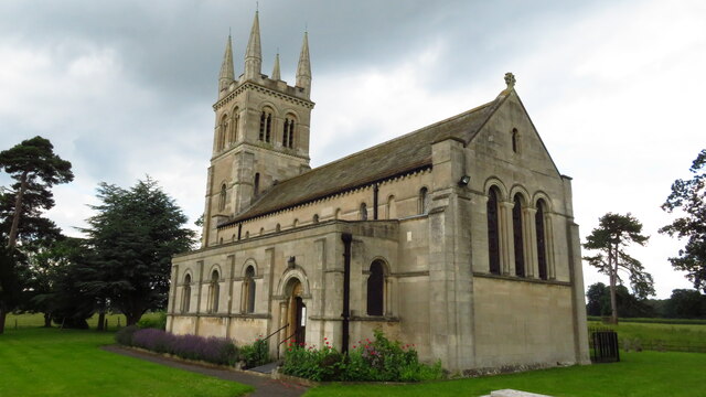
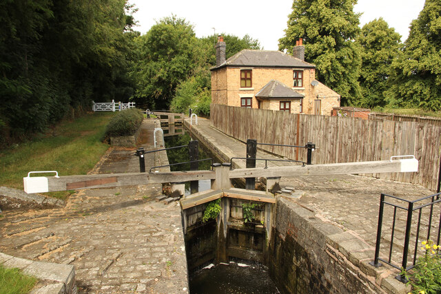
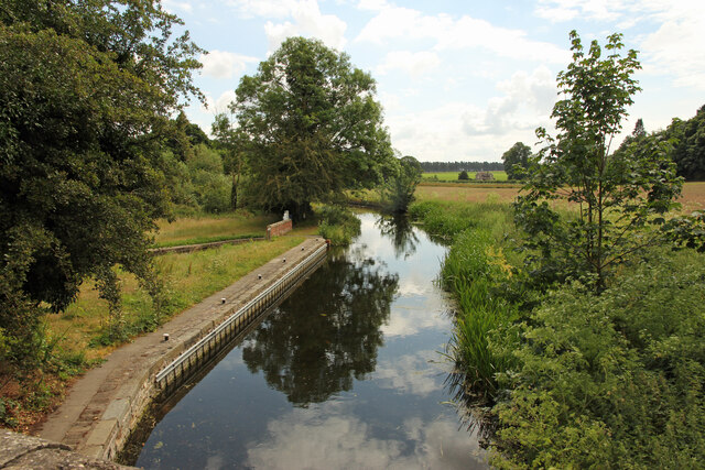
North Lawn Images
Images are sourced within 2km of 53.315707/-1.061757 or Grid Reference SK6280. Thanks to Geograph Open Source API. All images are credited.
North Lawn is located at Grid Ref: SK6280 (Lat: 53.315707, Lng: -1.061757)
Administrative County: Nottinghamshire
District: Bassetlaw
Police Authority: Nottinghamshire
What 3 Words
///variously.tests.curtains. Near Worksop, Nottinghamshire
Nearby Locations
Related Wikis
Scofton
Scofton is a hamlet in the Bassetlaw district of northern Nottinghamshire, England. It is 130 miles (210 km) north west of London, 25 miles (40 km) north...

RAF Worksop
Royal Air Force Worksop, or more simply RAF Worksop, is a former Royal Air Force satellite station located at Scofton, 2.8 miles (4.5 km) north east of...

Manton Colliery
Manton Colliery was a coal mine in north Nottinghamshire (Bassetlaw). The site was also known as Manton Wood Colliery. == History == The land was owned...

Checker House railway station
Checker House railway station was a station between Retford and Worksop, Nottinghamshire, England which served the village of Ranby from 1852 to 1931....
Bilby, Nottinghamshire
Bilby is a hamlet in Nottinghamshire, England. It is part of the civil parish of Barnby Moor. It is located 5 miles west of Retford, close to the A1 road...
Ranby, Nottinghamshire
Ranby is a small village in the north of Nottinghamshire, next to the Chesterfield Canal and adjacent to the A1. It is in the civil parish of Babworth...
Kilton, Nottinghamshire
Kilton is a large suburban area in the northeast of the market town of Worksop in the ceremonial county of Nottinghamshire in the East Midlands of England...
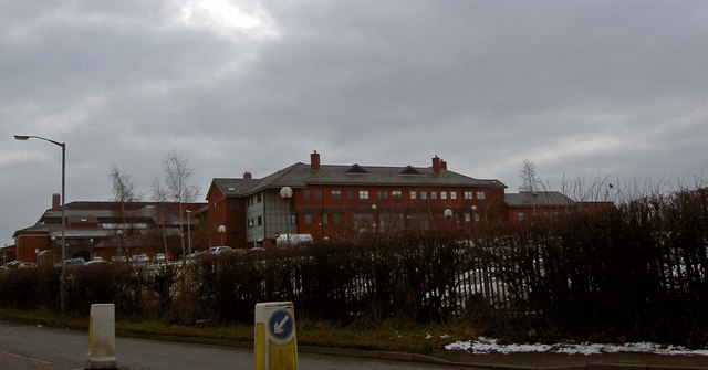
Bassetlaw District General Hospital
Bassetlaw District General Hospital is a National Health Service hospital in Worksop, Nottinghamshire. It is managed by the Doncaster and Bassetlaw Teaching...
Nearby Amenities
Located within 500m of 53.315707,-1.061757Have you been to North Lawn?
Leave your review of North Lawn below (or comments, questions and feedback).