Birch Holt
Wood, Forest in Nottinghamshire Bassetlaw
England
Birch Holt
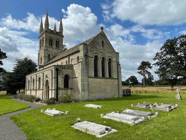
Birch Holt is a small village located in Nottinghamshire, England. Situated amidst a lush and verdant woodland, it is known for its breathtaking natural beauty and serene environment. The village is named after the numerous birch trees that dot the landscape, adding to its charm and allure.
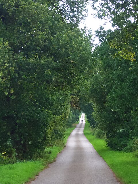
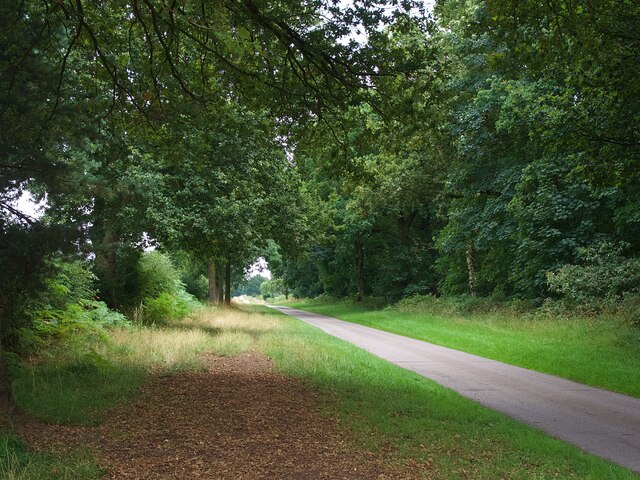
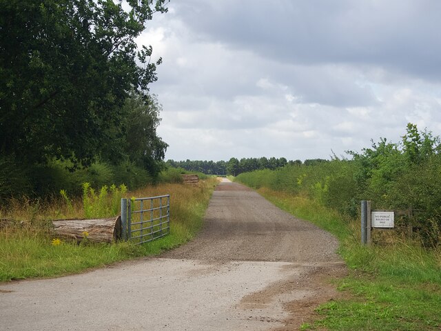
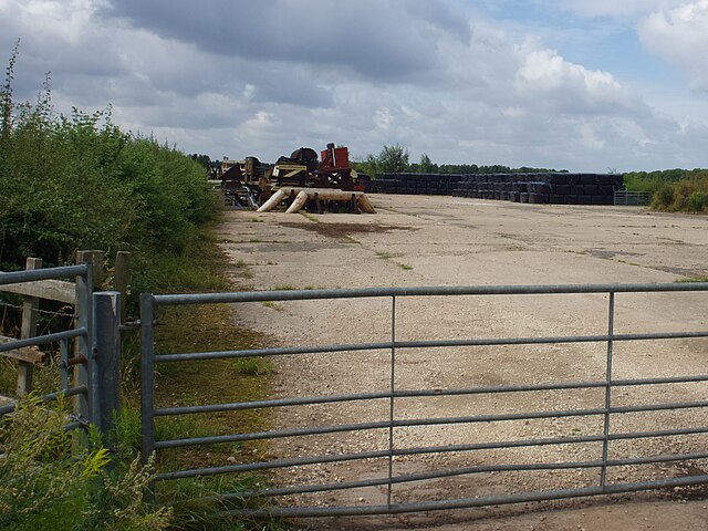
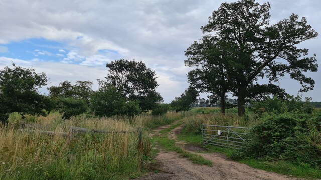
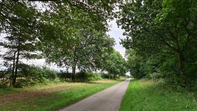
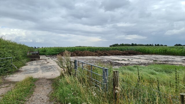
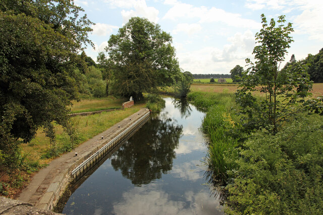
The forest surrounding Birch Holt is a haven for nature lovers and outdoor enthusiasts. It is characterized by its dense canopy of trees, providing a habitat for a diverse range of flora and fauna. The forest is home to a variety of wildlife, including deer, rabbits, and a plethora of bird species. This makes it an ideal destination for birdwatching and wildlife spotting.
Birch Holt itself is a close-knit community, with a small population of friendly and welcoming residents. The village is primarily residential, with a few local shops and amenities catering to the needs of its inhabitants. The pace of life in Birch Holt is relaxed and tranquil, offering a respite from the hustle and bustle of city living.
The village is also well-connected to nearby towns and cities, such as Nottingham and Mansfield, making it an attractive place to live for those seeking a balance between rural tranquility and urban convenience.
In summary, Birch Holt in Nottinghamshire is a picturesque village nestled within a beautiful forest setting. With its stunning natural surroundings, abundant wildlife, and close community, it is a haven for nature lovers and a perfect place to escape the pressures of modern life.
If you have any feedback on the listing, please let us know in the comments section below.
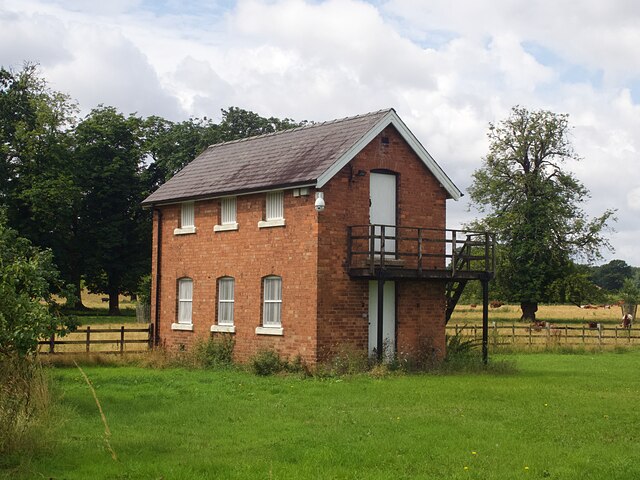
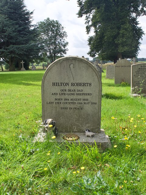
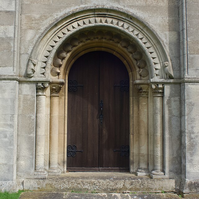
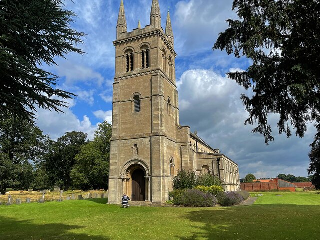
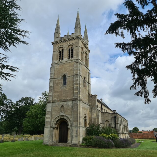
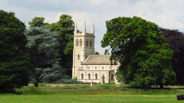
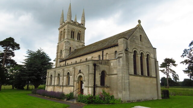
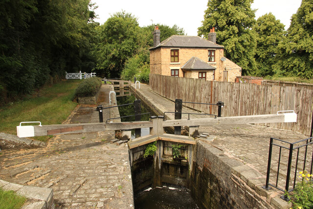
Birch Holt Images
Images are sourced within 2km of 53.320546/-1.0598644 or Grid Reference SK6280. Thanks to Geograph Open Source API. All images are credited.

Birch Holt is located at Grid Ref: SK6280 (Lat: 53.320546, Lng: -1.0598644)
Administrative County: Nottinghamshire
District: Bassetlaw
Police Authority: Nottinghamshire
What 3 Words
///track.machine.numeral. Near Worksop, Nottinghamshire
Nearby Locations
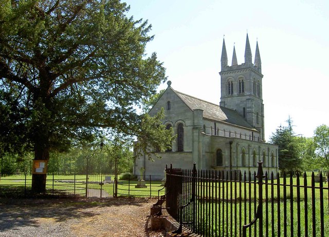
Related Wikis

RAF Worksop
Royal Air Force Worksop, or more simply RAF Worksop, is a former Royal Air Force satellite station located at Scofton, 2.8 miles (4.5 km) north east of...
Scofton
Scofton is a hamlet in the Bassetlaw district of northern Nottinghamshire, England. It is 130 miles (210 km) north west of London, 25 miles (40 km) north...
Bilby, Nottinghamshire
Bilby is a hamlet in Nottinghamshire, England. It is part of the civil parish of Barnby Moor. It is located 5 miles west of Retford, close to the A1 road...

Manton Colliery
Manton Colliery was a coal mine in north Nottinghamshire (Bassetlaw). The site was also known as Manton Wood Colliery. == History == The land was owned...

Checker House railway station
Checker House railway station was a station between Retford and Worksop, Nottinghamshire, England which served the village of Ranby from 1852 to 1931....
Ranby, Nottinghamshire
Ranby is a small village in the north of Nottinghamshire, next to the Chesterfield Canal and adjacent to the A1. It is in the civil parish of Babworth...
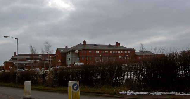
Bassetlaw District General Hospital
Bassetlaw District General Hospital is a National Health Service hospital in Worksop, Nottinghamshire. It is managed by the Doncaster and Bassetlaw Teaching...
Kilton, Nottinghamshire
Kilton is a large suburban area in the northeast of the market town of Worksop in the ceremonial county of Nottinghamshire in the East Midlands of England...
Nearby Amenities
Located within 500m of 53.320546,-1.0598644Have you been to Birch Holt?
Leave your review of Birch Holt below (or comments, questions and feedback).