Kingston Island

Downs, Moorland in Nottinghamshire Newark and Sherwood

England

Kingston Island

Bridleway to Church Warsop Budby South Forest.
Bridleway to Church Warsop Credit: Jonathan Thacker

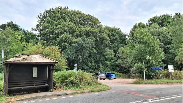
Kingston Island is a picturesque area located in Nottinghamshire, England. Situated amidst the Downs and Moorland, this region is known for its stunning natural beauty and diverse wildlife. Covering an area of approximately 10 square miles, Kingston Island is a popular destination for nature enthusiasts and outdoor adventurers.

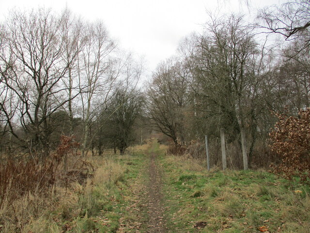
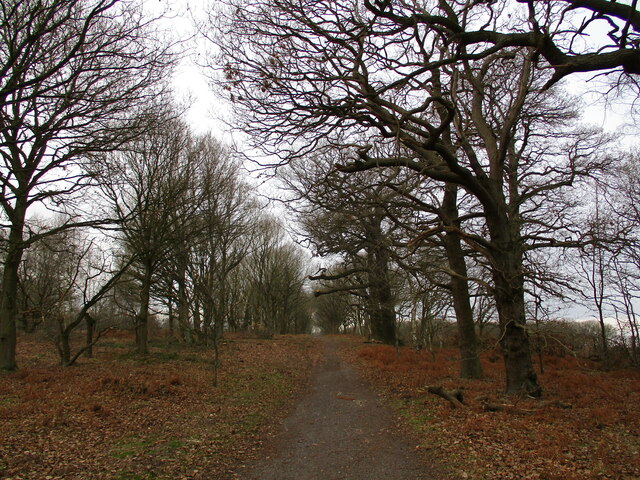
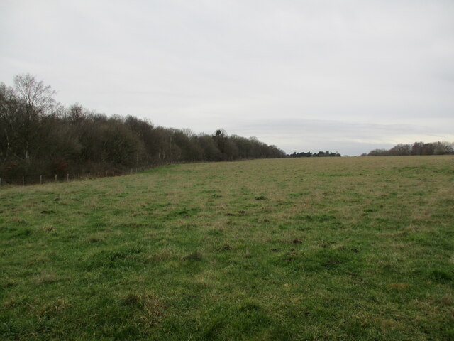
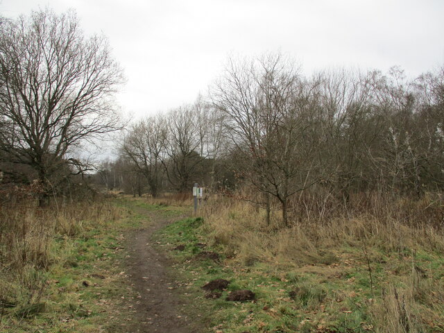
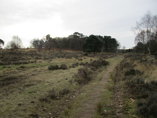
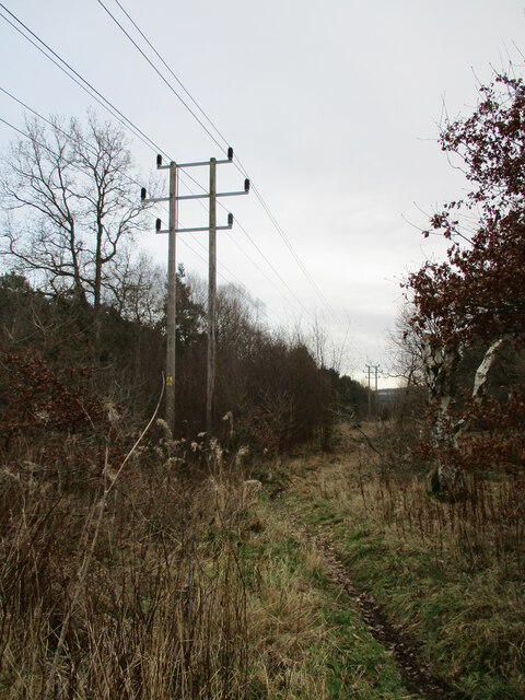
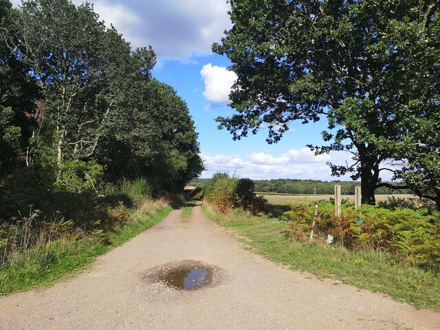
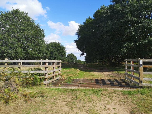
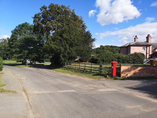
The landscape of Kingston Island is characterized by rolling hills, expansive meadows, and dense woodlands, providing a rich habitat for a variety of flora and fauna. The Downs, with their gentle slopes and fertile soil, are home to vibrant wildflowers and grasses, while the Moorland boasts heather and gorse-covered expanses. The island is crisscrossed by numerous walking and hiking trails, allowing visitors to explore its hidden gems and enjoy panoramic views of the surrounding countryside.

A key attraction of Kingston Island is its wildlife. The area is home to several rare and protected species, including the Eurasian curlew, European otter, and the elusive red fox. Birdwatchers can spot a diverse range of avian species, such as kestrels, lapwings, and skylarks. The island's diverse ecosystems also support a variety of insects, reptiles, and small mammals.

Despite its natural beauty, Kingston Island remains relatively untouched by human development. There are no permanent settlements on the island, making it a tranquil retreat for those seeking solitude and tranquility. Visitors can enjoy picnics by the riverside, indulge in birdwatching, or simply immerse themselves in the serenity of nature.

In conclusion, Kingston Island in Nottinghamshire offers a captivating blend of natural landscapes, abundant wildlife, and a serene atmosphere. It is a haven for nature lovers and a place where one can escape the hustle and bustle of urban life.

If you have any feedback on the listing, please let us know in the comments section below.

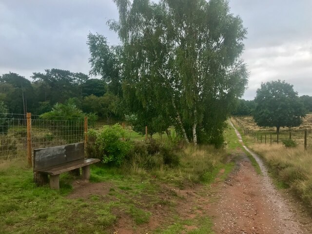
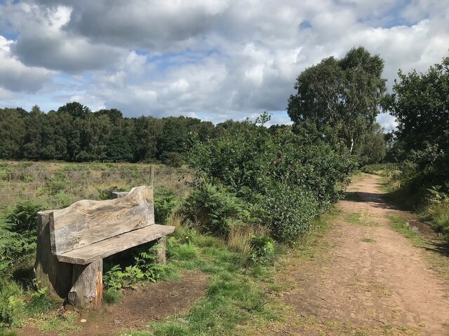
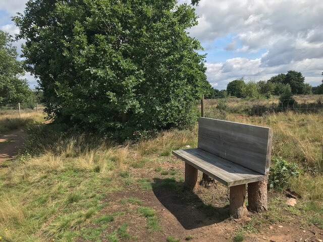
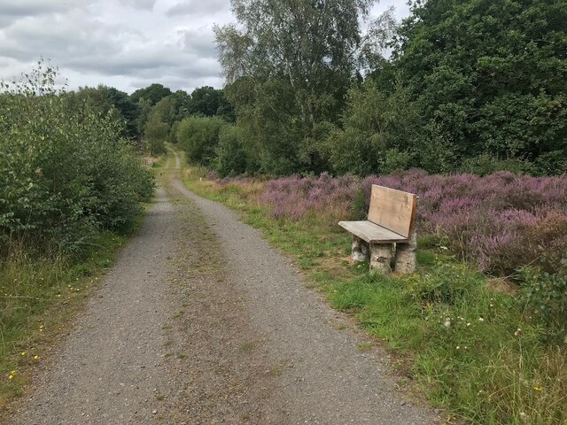
Kingston Island Images

Images are sourced within 2km of 53.225236/-1.0669856 or Grid Reference SK6270. Thanks to Geograph Open Source API. All images are credited.

Bridleway to Church Warsop Budby South Forest.
Bridleway to Church Warsop
Budby South Forest.
Bridleway to Church Warsop Budby South Forest.
Bridleway to Church Warsop
Budby South Forest.
Grassland and Queen Oak Plantation
Path in Budby South Forest Connects with several other paths in the area between Edwinstow and Budby.
Path in Budby South Forest
Connects with several other paths in the area between Edwinstow and Budby.
Heathland, Budby South Forest
Power line, Budby South Forest
Track towards Budby
Track towards Budby
Cattle Grid in Budby South Forest
Bench beside a bridleway On the RSPB Budby South Forest reserve.
Bench beside a bridleway
On the RSPB Budby South Forest reserve.
Bench beside a public footpath On the RSPB Budby South Forest reserve.
Bench beside a public footpath
On the RSPB Budby South Forest reserve.
Bench beside a public footpath On the RSPB Budby South Forest reserve.
Bench beside a public footpath
On the RSPB Budby South Forest reserve.
Bench beside a track Just outside the fenced area of the RSPB Budby South Forest reserve.
Bench beside a track
Just outside the fenced area of the RSPB Budby South Forest reserve.
Car park by Duncanwood Lodge
Budby Village
Budby Village
Parking Space near Meadow Bank
Thoresby Hall and Garden The ornate fountain in front of the house is Grade II-listed (Historic England List Entry 1370209 <span class="nowrap"><a title="https://historicengland.org.uk/listing/the-list/list-entry/1370209" rel="nofollow ugc noopener" href="https://historicengland.org.uk/listing/the-list/list-entry/1370209">Link</a><img style="margin-left:2px;" alt="External link" title="External link - shift click to open in new window" src="https://s1.geograph.org.uk/img/external.png" width="10" height="10"/></span> ). It dates from 1865.
Thoresby Hall and Garden
The ornate fountain in front of the house is Grade II-listed (Historic England List Entry 1370209 LinkExternal link ). It dates from 1865.
Former Stable Block at Thoresby Hall Built at the same time as Thoresby Hall, the stable block is Grade II-listed (List Entry No <span class="nowrap"><a title="https://historicengland.org.uk/listing/the-list/list-entry/1370209" rel="nofollow ugc noopener" href="https://historicengland.org.uk/listing/the-list/list-entry/1370209">Link</a><img style="margin-left:2px;" alt="External link" title="External link - shift click to open in new window" src="https://s1.geograph.org.uk/img/external.png" width="10" height="10"/></span> Historic England). It is now open to the public as a retail space within Thoresby Park.
Former Stable Block at Thoresby Hall
Built at the same time as Thoresby Hall, the stable block is Grade II-listed (List Entry No LinkExternal link Historic England). It is now open to the public as a retail space within Thoresby Park.
Stables Courtyard, Thoresby Park Built at the same time as Thoresby Hall, the stable block is Grade II-listed (List Entry No <span class="nowrap"><a title="https://historicengland.org.uk/listing/the-list/list-entry/1370209" rel="nofollow ugc noopener" href="https://historicengland.org.uk/listing/the-list/list-entry/1370209">Link</a><img style="margin-left:2px;" alt="External link" title="External link - shift click to open in new window" src="https://s1.geograph.org.uk/img/external.png" width="10" height="10"/></span> Historic England). It is now open to the public as a retail space within Thoresby Park.
Stables Courtyard, Thoresby Park
Built at the same time as Thoresby Hall, the stable block is Grade II-listed (List Entry No LinkExternal link Historic England). It is now open to the public as a retail space within Thoresby Park.
Show me another place!

Kingston Island is located at Grid Ref: SK6270 (Lat: 53.225236, Lng: -1.0669856)

Administrative County: Nottinghamshire

District: Newark and Sherwood

Police Authority: Nottinghamshire

What 3 Words

///chapters.daunted.jars. Near Edwinstowe, Nottinghamshire

Related Wikis

Budby

Budby is a hamlet and former civil parish, now in the parish of Perlethorpe cum Budby, in the Newark and Sherwood district, in the county of Nottinghamshire...

Perlethorpe cum Budby

Perlethorpe cum Budby is a civil parish in the Newark and Sherwood district, within the county of Nottinghamshire, England. The overall area had a population...
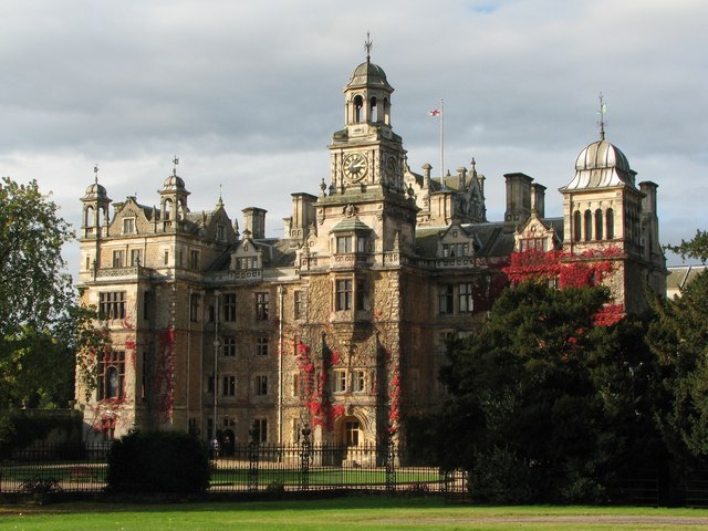
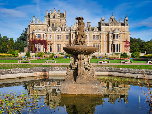
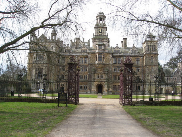
Thoresby Hall

Thoresby Hall is a grade I listed 19th-century country house in Budby, Nottinghamshire, some 2 miles (4 km) north of Ollerton. It is one of four neighbouring...

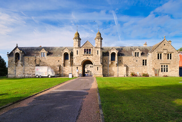
The Royal Lancers and Nottinghamshire Yeomanry Museum

The Royal Lancers & Nottinghamshire Yeomanry Museum traces the history of three old and famous cavalry regiments, the Royal Lancers, the Sherwood Rangers...

Nearby Amenities

Located within 500m of 53.225236,-1.0669856
Budby Castle
Access: private
Historic: manor
Wikidata: Q26297573
Lat/Long: 53.2230226/-1.071483
Power: pole
Lat/Long: 53.2266853/-1.0703162
Power: pole
Lat/Long: 53.2255132/-1.0733578
Power: pole
Lat/Long: 53.2272698/-1.068782
Power: pole
Lat/Long: 53.2260896/-1.0718773
The data included in this document is from www.openstreetmap.org. The data is made available under ODbL.

Have you been to Kingston Island?

Leave your review of Kingston Island below (or comments, questions and feedback).