Wood Field
Downs, Moorland in Yorkshire
England
Wood Field

Wood Field is a picturesque area located in the heart of Yorkshire, encompassing both the rolling Yorkshire Downs and the rugged Moorland. Spanning approximately 50 square miles, this diverse landscape offers a unique blend of natural beauty and rural charm.
In the Yorkshire Downs section of Wood Field, visitors are greeted by undulating hills covered in vibrant green grass and dotted with grazing sheep. The area boasts panoramic views that stretch for miles, showcasing the breathtaking beauty of the surrounding countryside. Walking trails crisscross the Downs, allowing outdoor enthusiasts to explore the area at their own pace and immerse themselves in the tranquility of nature.
Transitioning into the Moorland region, the landscape takes on a more dramatic and wild character. Here, heather-covered hillsides, rocky outcrops, and vast expanses of open moorland dominate the scenery. The Moorland is home to a diverse array of wildlife, including birds of prey, red grouse, and wild ponies.
Wood Field is also rich in history and culture. Ancient stone circles, standing stones, and burial mounds can be found scattered throughout the area, giving insight into its prehistoric past. The charming villages and market towns that pepper the landscape offer a glimpse into traditional English country life, with quaint cottages, local shops, and welcoming pubs.
Whether it's hiking, birdwatching, exploring historical sites, or simply enjoying the peace and tranquility of rural Yorkshire, Wood Field offers a captivating experience for nature lovers and history enthusiasts alike.
If you have any feedback on the listing, please let us know in the comments section below.
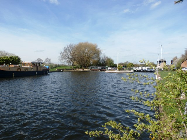
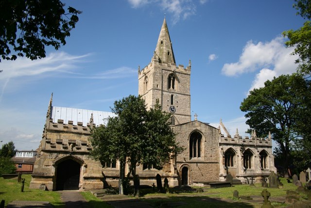
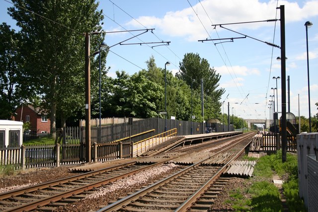
Wood Field Images
Images are sourced within 2km of 53.560729/-1.1154359 or Grid Reference SE5807. Thanks to Geograph Open Source API. All images are credited.


Wood Field is located at Grid Ref: SE5807 (Lat: 53.560729, Lng: -1.1154359)
Division: West Riding
Unitary Authority: Doncaster
Police Authority: South Yorkshire
What 3 Words
///myself.pint.exam. Near Kirk Sandall, South Yorkshire
Nearby Locations
Related Wikis

Almholme
Almholme is a hamlet in South Yorkshire, England. It was in the parish of Arksey, and is now in Bentley with Arksey unparished area. The term 'holme' relates...
Arksey
Arksey is a village in the City of Doncaster in South Yorkshire, England. It had an estimated population of 1,303 as of 2010. It was the birthplace of...

Shaftholme
Shaftholme is a small hamlet in South Yorkshire, England, in the parish of Arksey that is located half a mile north of Bentley and two miles north of Doncaster...
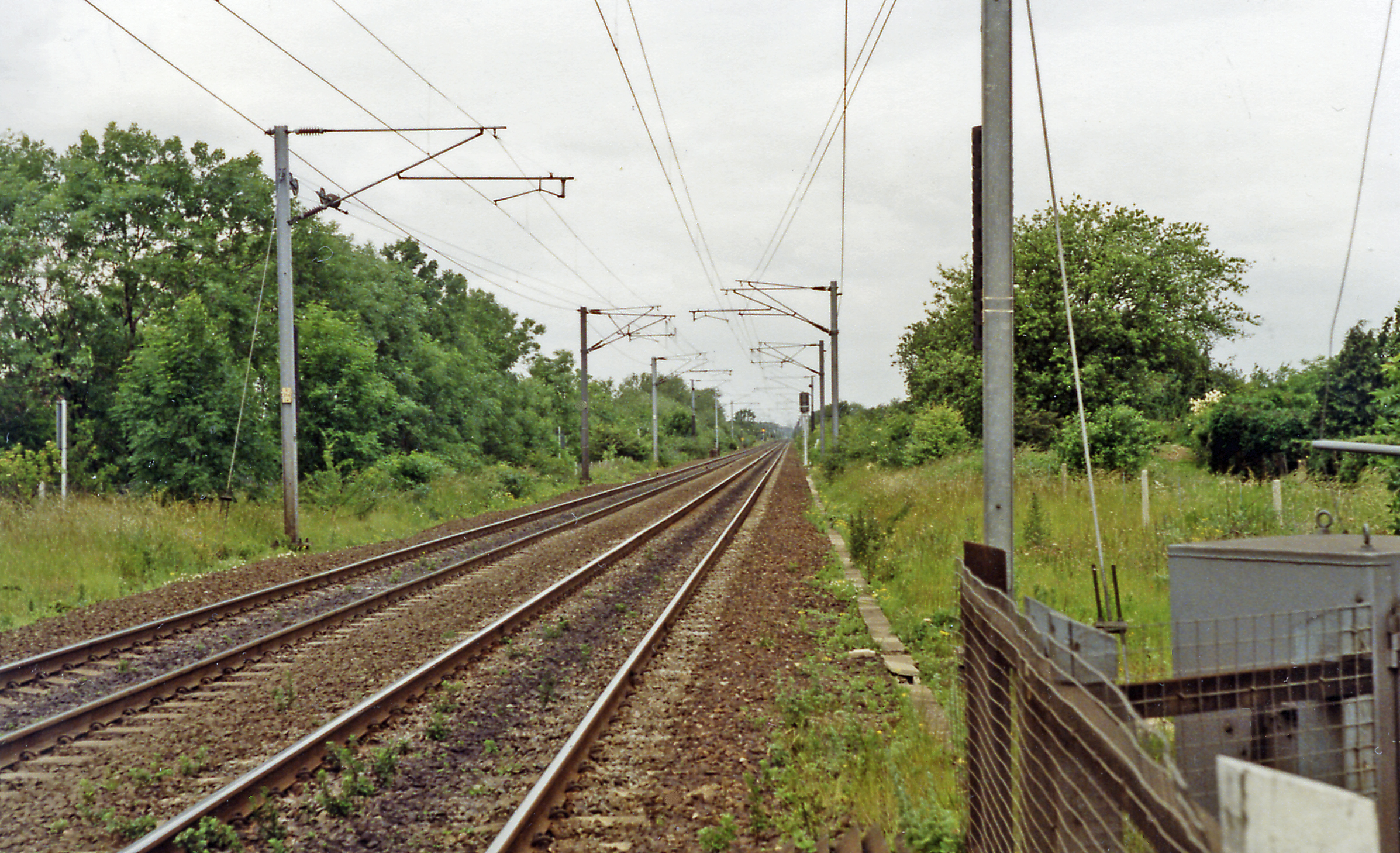
Arksey railway station
Arksey railway station, originally named Stockbridge and later Arksey and Stockbridge was a station which served the villages of Arksey and Stockbridge...

Bentley Colliery
Bentley Colliery was a coal mine in Bentley, near Doncaster in South Yorkshire, England, that operated between 1906 and 1993. In common with many other...

Bentley with Arksey
Bentley with Arksey is a former civil parish (1866–1974) and urban district (1911–1974) adjacent to the town of Doncaster in the West Riding of Yorkshire...

Thorpe Marsh Nature Reserve
Thorpe Marsh Nature Reserve is a 77-hectare (190-acre) nature reserve located south-west of Thorpe in Balne, north of Doncaster in South Yorkshire, England...
Bentley, South Yorkshire
Bentley is a suburb of Doncaster in South Yorkshire, England two miles north of the city centre. The population of the ward (also including Arksey, Shaftholme...
Related Videos

vacation
2015 vacation.

A tour of Willow Garth .. where Wildkatt enjoys her wilderness & latest developments on the site.
Willowgarth #alternativeliving #fishing #offgrid #adventurecat #offgridcamping #vanlife #wildkattontheroad.

Day 54 #fromheretojerusalem
Pilgrim's Update start Day 54 #fromheretojerusalem walking from West Cork to Jerusalem with a harp on your back. Arksey ...

Volunteering at Willow Garth Fisheries .. and Mischief the Savannah cat is set free!
We return to the beautiful bit of wilderness at Willow Garth Fisheries to help with the running and development. The cats have ...
Have you been to Wood Field?
Leave your review of Wood Field below (or comments, questions and feedback).