Almholme Field
Downs, Moorland in Yorkshire
England
Almholme Field

Almholme Field is a picturesque area located in Yorkshire, England, known for its stunning landscapes and diverse natural beauty. Situated in the heart of the Yorkshire Downs and Moorland, this vast field covers a sprawling area of lush greenery and rolling hills, making it an ideal destination for nature enthusiasts and outdoor lovers.
The field is characterized by its open and expansive landscape, offering breathtaking views of the surrounding countryside. It is dotted with vibrant wildflowers during the spring and summer months, creating a vibrant tapestry of colors that adds to its charm. The area is also home to a variety of wildlife, including birds, rabbits, and occasionally, deer, making it a haven for birdwatchers and wildlife photographers.
Almholme Field is a popular spot for hiking and walking, with numerous footpaths and trails crisscrossing through the area. These trails offer visitors the opportunity to explore the countryside and take in the panoramic vistas. The field is also a favorite among dog walkers, providing ample space for pets to roam and play.
The field is easily accessible, with well-maintained roads leading to its entrance. There is also ample parking available for visitors. Furthermore, nearby amenities, such as cafes, restaurants, and accommodation options, ensure that visitors can enjoy a comfortable and enjoyable visit to Almholme Field.
In conclusion, Almholme Field in Yorkshire, England, is a stunning expanse of countryside, with its rolling hills, vibrant flora, and abundant wildlife. It offers visitors a chance to immerse themselves in nature, providing a tranquil and picturesque escape from the hustle and bustle of everyday life.
If you have any feedback on the listing, please let us know in the comments section below.
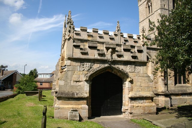
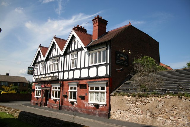
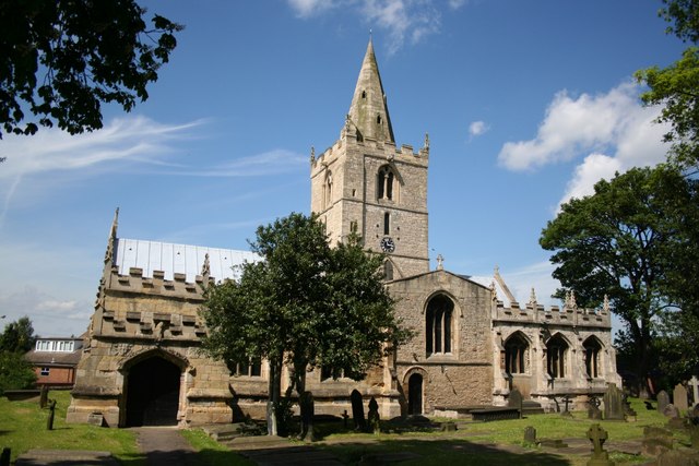
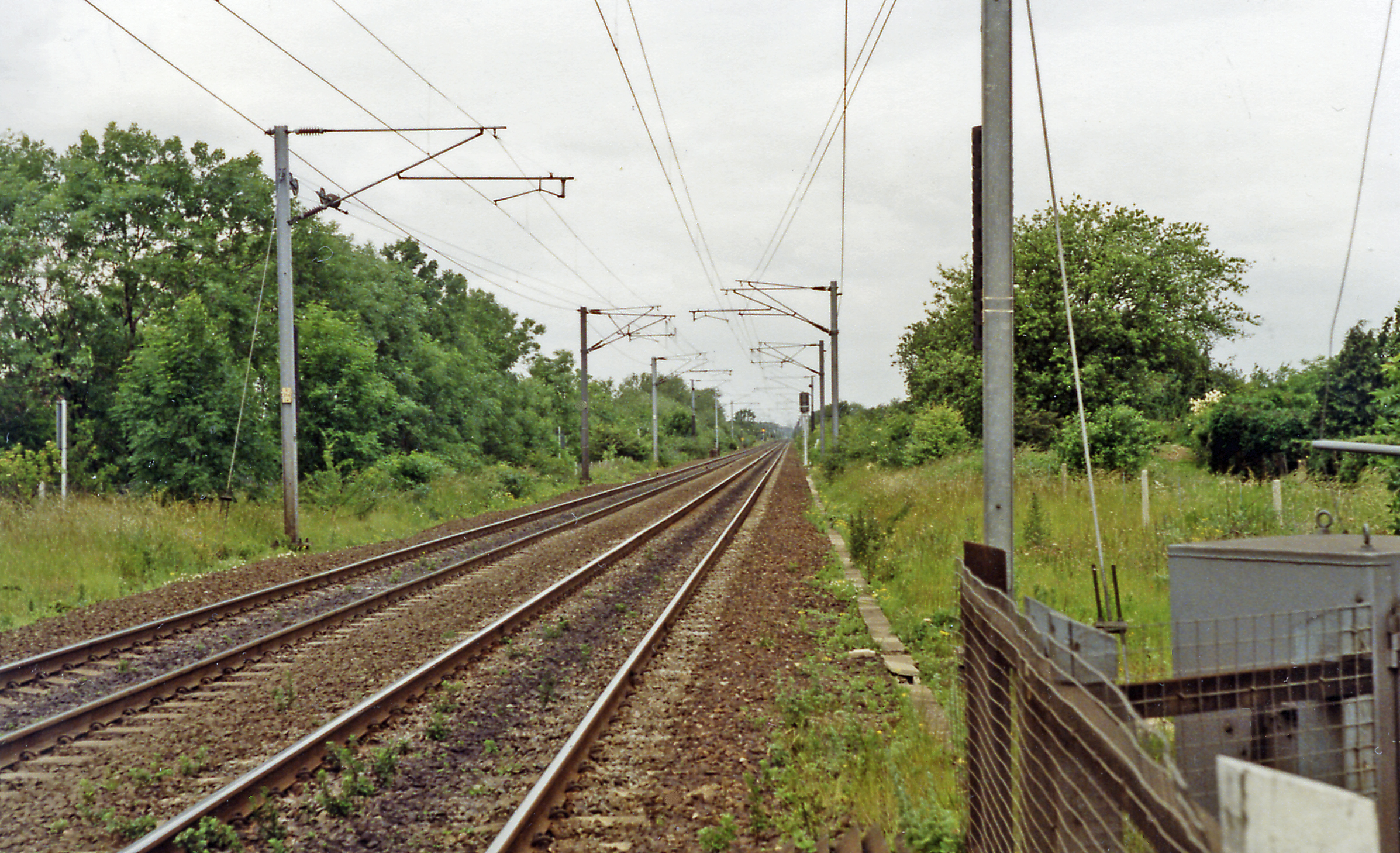
Almholme Field Images
Images are sourced within 2km of 53.565038/-1.1195585 or Grid Reference SE5807. Thanks to Geograph Open Source API. All images are credited.


Almholme Field is located at Grid Ref: SE5807 (Lat: 53.565038, Lng: -1.1195585)
Division: West Riding
Unitary Authority: Doncaster
Police Authority: South Yorkshire
What 3 Words
///caked.rods.hotel. Near Kirk Sandall, South Yorkshire
Nearby Locations
Related Wikis

Almholme
Almholme is a hamlet in South Yorkshire, England. It was in the parish of Arksey, and is now in Bentley with Arksey unparished area. The term 'holme' relates...

Shaftholme
Shaftholme is a small hamlet in South Yorkshire, England, in the parish of Arksey that is located half a mile north of Bentley and two miles north of Doncaster...
Arksey
Arksey is a village in the City of Doncaster in South Yorkshire, England. It had an estimated population of 1,303 as of 2010. It was the birthplace of...

Bentley Colliery
Bentley Colliery was a coal mine in Bentley, near Doncaster in South Yorkshire, England, that operated between 1906 and 1993. In common with many other...

Thorpe Marsh Nature Reserve
Thorpe Marsh Nature Reserve is a 77-hectare (190-acre) nature reserve located south-west of Thorpe in Balne, north of Doncaster in South Yorkshire, England...
Arksey railway station
Arksey railway station, originally named Stockbridge and later Arksey and Stockbridge was a station which served the villages of Arksey and Stockbridge...

Tilts
Tilts is a hamlet in the City of Doncaster, South Yorkshire, England, some 4 miles (6.4 km) north of Doncaster city centre and 3 miles (4.8 km) south of...

Bentley with Arksey
Bentley with Arksey is a former civil parish (1866–1974) and urban district (1911–1974) adjacent to the town of Doncaster in the West Riding of Yorkshire...
Have you been to Almholme Field?
Leave your review of Almholme Field below (or comments, questions and feedback).