Malshanger Park
Downs, Moorland in Hampshire Basingstoke and Deane
England
Malshanger Park
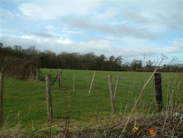
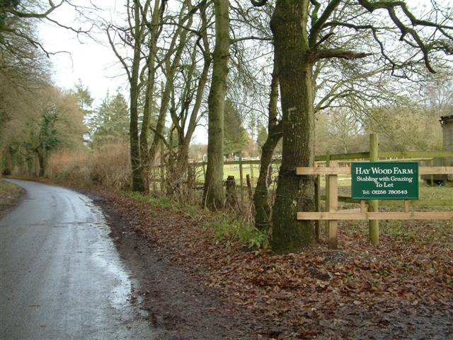
Malshanger Park is a picturesque estate located in Hampshire, England. Situated within the northern part of the county, the park encompasses a vast area of downs and moorland, offering visitors a unique and diverse natural experience.
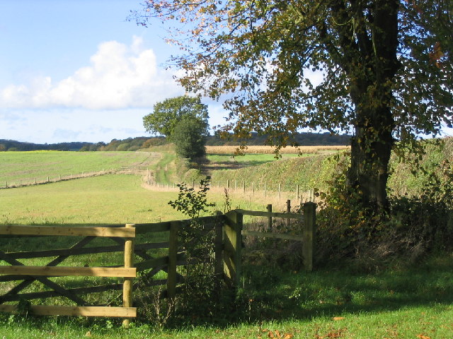
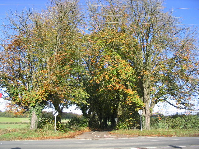
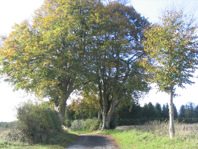
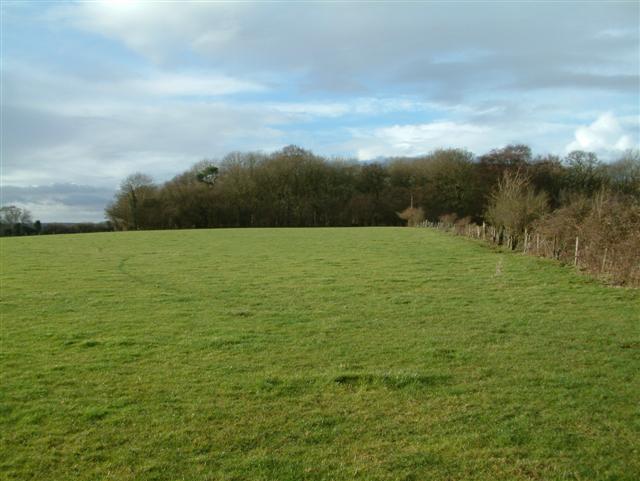
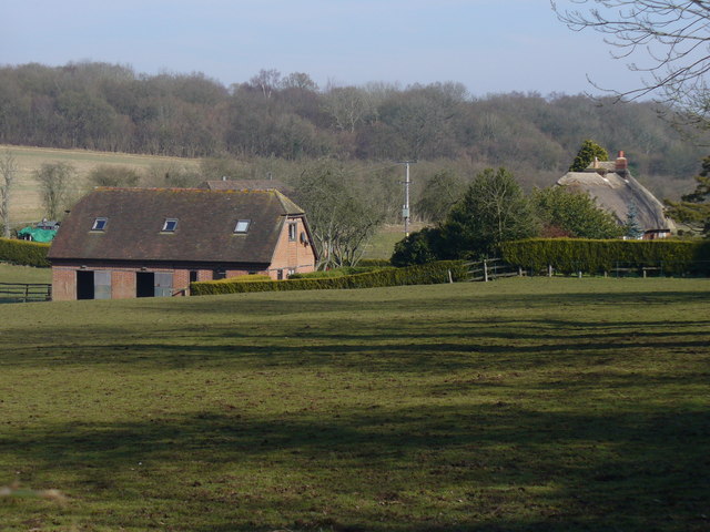
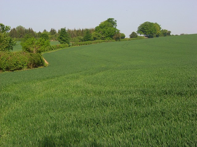
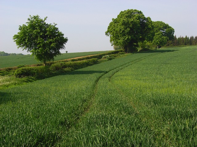
Covering over 1,000 acres, Malshanger Park boasts rolling hills, open grasslands, and a variety of wildlife. The downs, with their sweeping views of the surrounding countryside, provide a serene and tranquil setting for outdoor activities such as hiking and picnicking. The moorland, on the other hand, offers a distinct landscape characterized by heather, gorse, and scattered patches of woodland.
The park is renowned for its rich biodiversity, housing a wide range of flora and fauna. Visitors may encounter native species such as roe deer, badgers, and various bird species including skylarks and kestrels. The diverse habitats within the park attract a multitude of wildlife, making it a haven for nature enthusiasts and photographers.
Additionally, Malshanger Park holds historical significance, being home to an ancient Roman road known as Harrow Way. Remnants of this historic route can still be observed, adding an element of intrigue and heritage to the park.
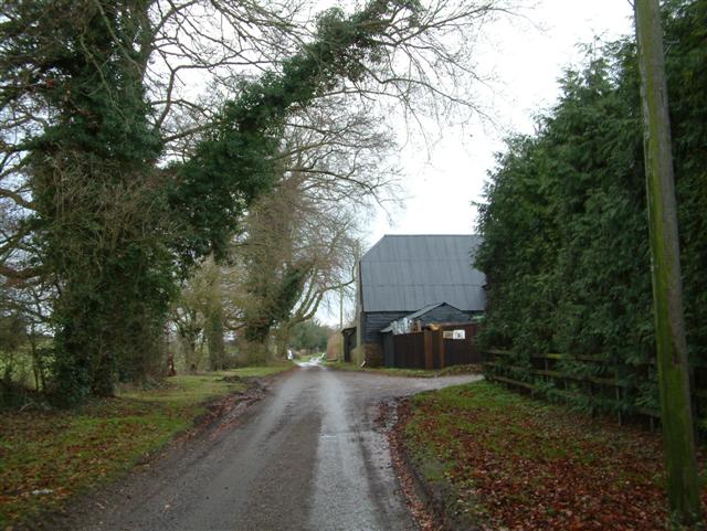
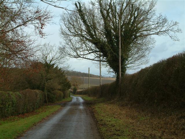
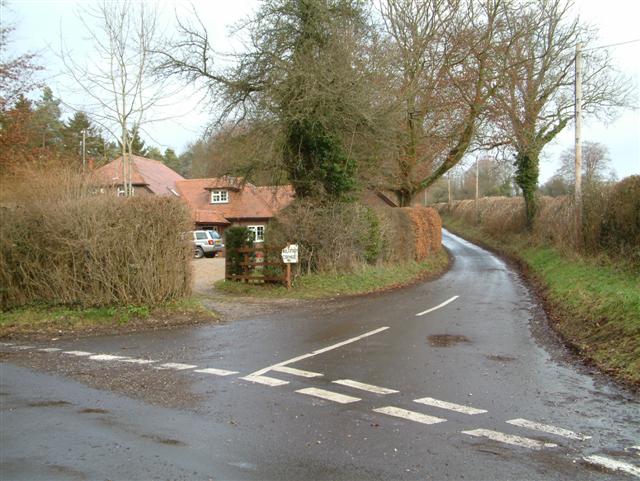
The estate also features well-maintained trails and paths, allowing visitors to explore the park at their leisure. Benches and picnic areas are scattered throughout, providing ample opportunities to relax and take in the stunning surroundings.
Overall, Malshanger Park is a hidden gem in Hampshire, offering a blend of natural beauty, historical value, and a haven for wildlife. Whether it's a leisurely stroll or an immersive wildlife experience, visitors are bound to find solace and inspiration within this idyllic countryside retreat.
If you have any feedback on the listing, please let us know in the comments section below.
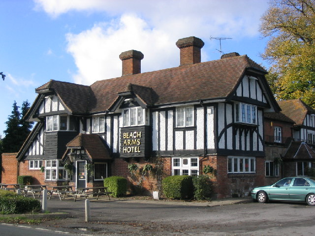
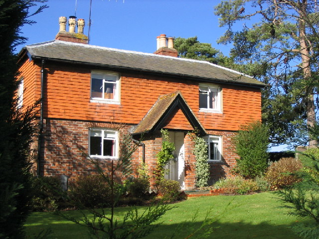
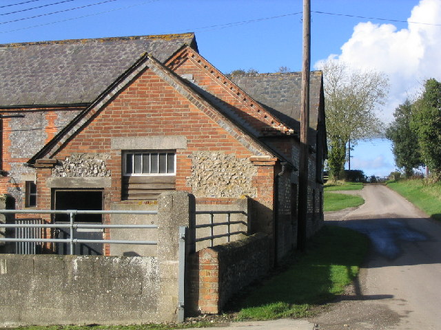
Malshanger Park Images
Images are sourced within 2km of 51.267232/-1.1849122 or Grid Reference SU5652. Thanks to Geograph Open Source API. All images are credited.


Malshanger Park is located at Grid Ref: SU5652 (Lat: 51.267232, Lng: -1.1849122)
Administrative County: Hampshire
District: Basingstoke and Deane
Police Authority: Hampshire
What 3 Words
///until.teardrop.custodial. Near Overton, Hampshire
Nearby Locations
Related Wikis

Malshanger
Malshanger is a small village in the Basingstoke and Deane district of Hampshire, England. Its nearest town is Basingstoke, which lies approximately 4...

Oakley railway station (Hampshire)
Oakley was a railway station on the West of England Main Line in Hampshire, England which served the village of Oakley. == History == The station was opened...

Ibworth
Ibworth is a hamlet in Hampshire, England. It is in the civil parish of Hannington. Interesting features include a community notice board and a wall post...
Newfound, Hampshire
Newfound is a hamlet in the Basingstoke and Deane district of Hampshire, England. Its nearest town is Basingstoke, which lies approximately 4.1 miles...
Oakley, Hampshire
Oakley is a village in the borough of Basingstoke and Deane in Hampshire, England, located around 4.5 miles (7 km) west of Basingstoke. In the 2001 Census...

Oakley Hall, Hampshire
Oakley Hall is a Georgian manor in Oakley, Hampshire, located 10 km (6.2 mi) to the west of Basingstoke. Completed in 1795 by Wither Bramston, the building...

Wootton St Lawrence
Wootton St Lawrence is a small village in the civil parish of Wootton St Lawrence with Ramsdell, in Hampshire, England, 2.5 miles (4.0 km) west of Basingstoke...

Upper Wootton
Upper Wootton is a small village in the civil parish of Wootton St Lawrence with Ramsdell in the Basingstoke and Deane district of Hampshire, England....
Nearby Amenities
Located within 500m of 51.267232,-1.1849122Have you been to Malshanger Park?
Leave your review of Malshanger Park below (or comments, questions and feedback).