Hale Common

Downs, Moorland in Hampshire

England

Hale Common

White Gate by the Cycleway A neat white painted wooden gate is beside the cycleway just here.
White Gate by the Cycleway Credit: Des Blenkinsopp

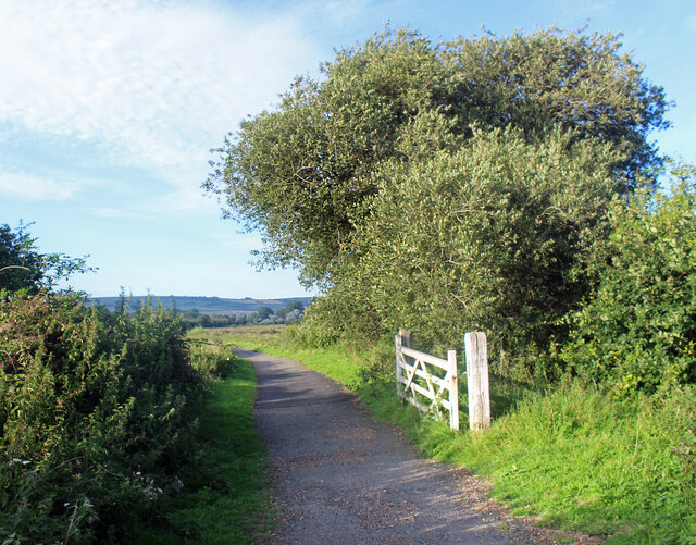
Hale Common is a prominent geographical feature located in Hampshire, England. Situated on the outskirts of the New Forest National Park, it is a vast expanse of land covering an area of approximately 1,300 acres. The common is characterized by its diverse landscape, comprising of downs and moorland, which is a unique feature in Hampshire.

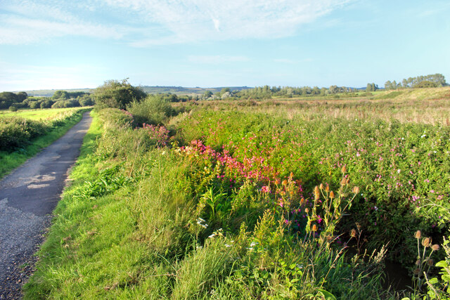
The downs of Hale Common are marked by their gently rolling hills and expansive grasslands. They offer breathtaking views of the surrounding countryside and provide a haven for various species of flora and fauna. The rich biodiversity of the downs attracts nature enthusiasts and hikers who can explore the numerous trails that crisscross the area.

The moorland on Hale Common is a captivating sight, with its open expanses of heather and gorse. This unique habitat supports a range of plant and animal species, including rare birds such as the Dartford warbler and stonechat. The moorland is also home to several species of reptiles, including adders and common lizards.

In addition to its natural beauty, Hale Common has historical significance. It was once used for grazing livestock and its name derives from the Old English word "halh," meaning a nook or a hollow. The common has been a designated Site of Importance for Nature Conservation (SINC) due to its ecological importance.

Hale Common is a popular destination for outdoor activities such as walking, birdwatching, and photography. Its tranquil environment and picturesque landscapes make it an idyllic location for individuals seeking a peaceful retreat in the heart of Hampshire's countryside.

If you have any feedback on the listing, please let us know in the comments section below.
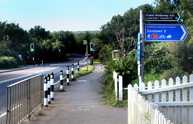
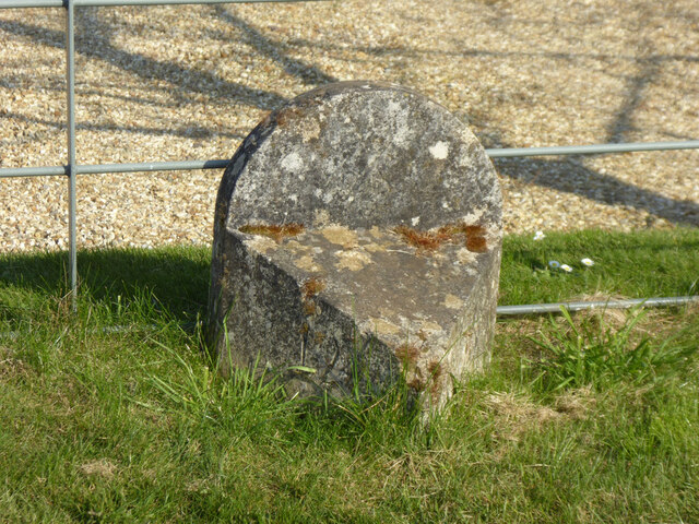
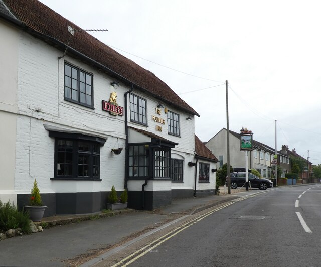
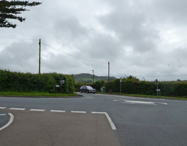
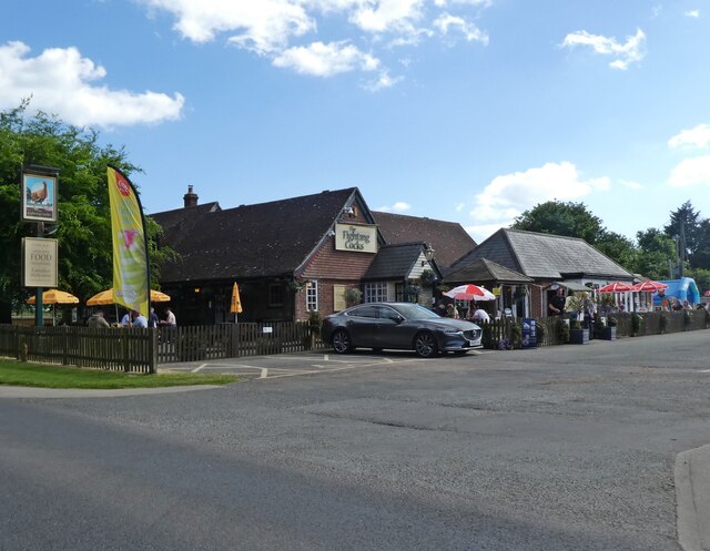
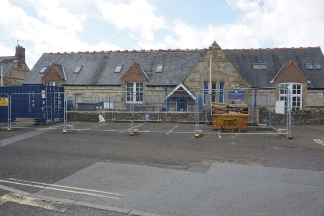
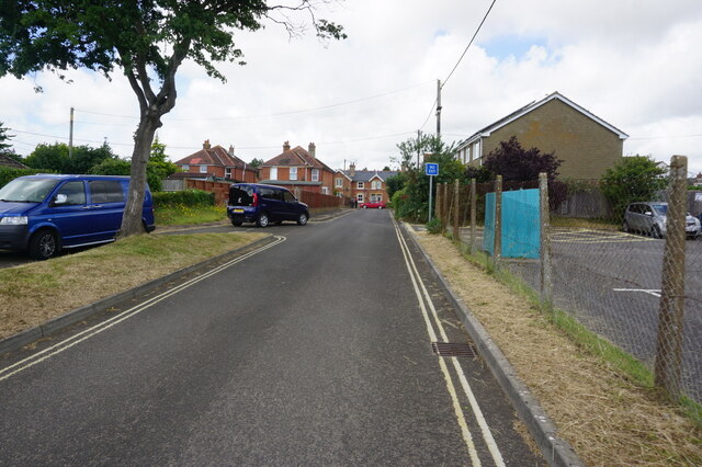
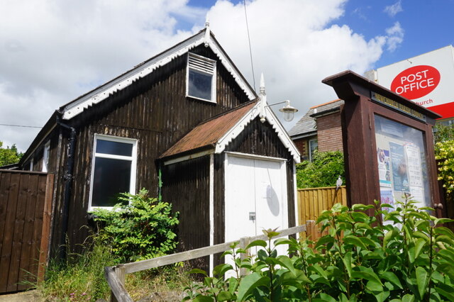
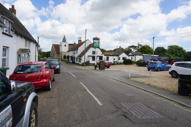
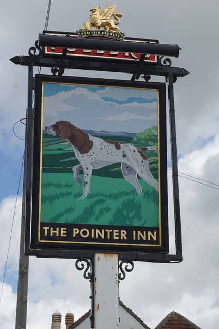
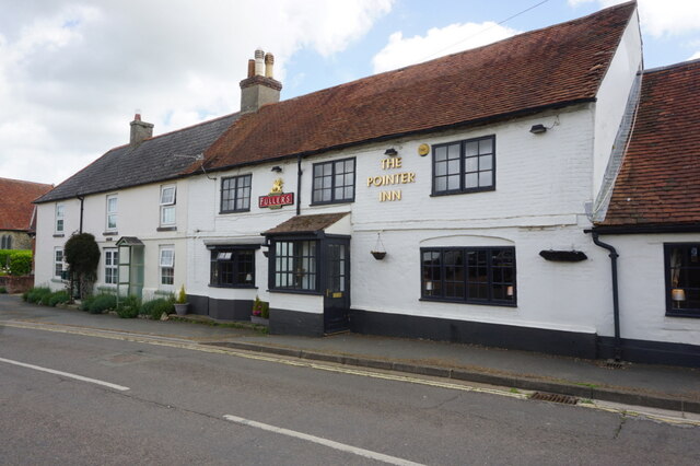
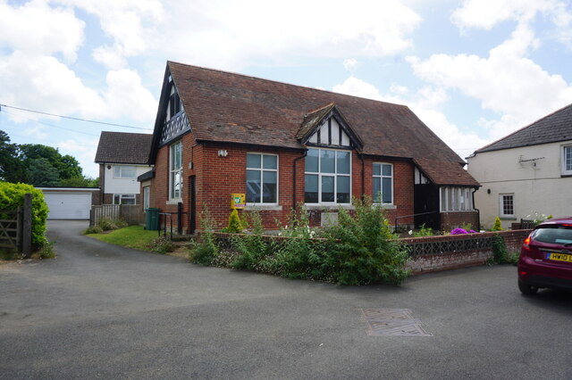
Hale Common Images

Images are sourced within 2km of 50.655751/-1.2283022 or Grid Reference SZ5484. Thanks to Geograph Open Source API. All images are credited.

White Gate by the Cycleway A neat white painted wooden gate is beside the cycleway just here.
White Gate by the Cycleway
A neat white painted wooden gate is beside the cycleway just here.
Flowers by the Path A stream flows beside the track along here, down in a deep ditch. Wild flowers grow along the bank beside the old railway line.
Flowers by the Path
A stream flows beside the track along here, down in a deep ditch. Wild flowers grow along the bank beside the old railway line.
Access to the Old Railway An old railway line used to cross the road here. It is now a path and cycleway and a small parking area has been made at the crossing.
Access to the Old Railway
An old railway line used to cross the road here. It is now a path and cycleway and a small parking area has been made at the crossing.
The Rail Track Ends Here For some reason the Environment Agency needs the couple of hundred metres of old railway trackbed between here and the road. The path which has been using it for some time is diverted off to the left.
The Rail Track Ends Here
For some reason the Environment Agency needs the couple of hundred metres of old railway trackbed between here and the road. The path which has been using it for some time is diverted off to the left.
Cycleway Crosses the Road A signal controlled road crossing has been put in where the Newport Sandown Cycleway crosses the A3056.
Cycleway Crosses the Road
A signal controlled road crossing has been put in where the Newport Sandown Cycleway crosses the A3056.
Modern Waymarker, Merston, Isle of Wight On the grass verge of Budbridge Lane, outside Little Budbridge Farm. One of 20 designed by sculpture Paul Mason along the path from the source of the Eastern river called Yar and the Sea.

Inscription: logo // 12 // 9

Milestone Society National ID: tbc
Modern Waymarker, Merston, Isle of Wight
On the grass verge of Budbridge Lane, outside Little Budbridge Farm. One of 20 designed by sculpture Paul Mason along the path from the source of the Eastern river called Yar and the Sea. Inscription: logo // 12 // 9 Milestone Society National ID: tbc
The Pointer Inn
The Pointer Inn
Mini roundabout on Newport Road
The Fighting Cocks
The Fighting Cocks
Newchurch Primary School, Newchurch
Church Lane, Newchurch
Parish Hall and Post Office, Newchurch
High Street, Newchurch
Pointer Inn, High Street, Newchurch
The Pointer Inn, High Street, Newchurch
Church Hall, Newchurch
All Saints Church, Newchurch
Show me another place!

Hale Common is located at Grid Ref: SZ5484 (Lat: 50.655751, Lng: -1.2283022)

Unitary Authority: Isle of Wight

Police Authority: Hampshire

What 3 Words

///instead.gender.customers. Near Newchurch, Isle of Wight

Nearby Locations

Hale Common Hale Common

Related Wikis

Hale Common

Hale Common is a farming hamlet on the Isle of Wight. Hale Common is on the A3056 road between Lake and Arreton. Hale Common is northeast of Bathingbourne...

Hale Manor

Hale Manor (also Atehalle, la Hale) is a manor house on the Isle of Wight, situated in the parish of Arreton. It forms the south-eastern portion of...

Amazon World Zoo Park

Amazon World Zoo Park is a medium-sized zoo located in Newchurch, Isle of Wight on the outskirts of Sandown, England. The collection is based around the...

Bathingbourne

Bathingbourne is a farming hamlet in the southeastern part of the Isle of Wight. It is located on Bathingbourne Lane, northwest of Apse Heath and southwest...

Horringford railway station

Horringford railway station was an intermediate station situated on the edge of Horringford village on the line from Newport to Sandown incorporated by...

Horringford

Horringford is a settlement on the Isle of Wight, off the south coast of England. It is in the civil parish of Arreton. The hamlet lies on the A3056 road...

Branstone, Isle of Wight

Branstone is a hamlet on the Isle of Wight, off the south coast of England. According to the Post Office the population of the hamlet at the 2011 Census...

Haseley Manor (Isle of Wight)

Haseley Manor is a 14th-century, Grade 2* listed property located in Arreton on the Isle of Wight. The name Haseley is derived from the Saxon Haesel-leah...

Nearby Amenities

Located within 500m of 50.655751,-1.2283022
Source: Bing
Lat/Long: 50.65302/-1.2265604
Source: Locally rectified NPE map
Lat/Long: 50.659495/-1.2284463
Source: guess from yahoo imagery
Lat/Long: 50.6596105/-1.2276495
Source: Locally rectified NPE map
Lat/Long: 50.654089/-1.2219175
Source: Locally rectified NPE map
Lat/Long: 50.6533508/-1.2232664
Source: Locally rectified NPE map
Lat/Long: 50.654579/-1.2250502
Source: Bing
Lat/Long: 50.6578991/-1.2268356
Bus Stop
Fighting Cocks
Bench: yes
Bus: yes
Contact Website: https://www.islandbuses.info/stops/230000004730
Naptan AtcoCode: 230000004730
Naptan Bearing: N
Naptan CommonName: Fighting Cocks
Naptan Indicator: towards Newport
Naptan NaptanCode: iowdmdt
Naptan Street: A3056
Public Transport: platform
Ref GB Uprn: 10025672260
Shelter: yes
Lat/Long: 50.6563072/-1.2243069
Bus Stop
Fighting Cocks
Bench: yes
Bin: no
Bus: yes
Contact Website: https://www.islandbuses.info/stops/230000004740
Naptan AtcoCode: 230000004740
Naptan Bearing: S
Naptan CommonName: Fighting Cocks
Naptan Indicator: towards Shanklin
Naptan NaptanCode: iowdmdw
Naptan Street: A3056
Public Transport: platform
Shelter: no
Lat/Long: 50.6553515/-1.2231716
Bus Stop
Hale Common
Bench: no
Bin: no
Bus: yes
Contact Website: https://www.islandbuses.info/stops/230000005070
Lit: no
Naptan AtcoCode: 230000005070
Naptan Bearing: N
Naptan CommonName: Hale Common
Naptan Indicator: towards Newport
Naptan NaptanCode: iowdmwm
Public Transport: platform
Shelter: no
Tactile Paving: no
Lat/Long: 50.6579648/-1.2268396
Bus Stop
Hale Common
Bus: yes
Contact Website: https://www.islandbuses.info/stops/230000005080
Naptan AtcoCode: 230000005080
Naptan Bearing: S
Naptan CommonName: Hale Common
Naptan Indicator: towards Shanklin
Naptan NaptanCode: iowdmwp
Public Transport: platform
Source: naptan_import
Lat/Long: 50.6584538/-1.2272115
Source: Bing
Lat/Long: 50.6556611/-1.2257382
Source: Bing
Lat/Long: 50.6539695/-1.2288754
Source: Bing
Lat/Long: 50.6541248/-1.2281639
Source: Bing
Lat/Long: 50.6551478/-1.2265917
Source: Bing
Lat/Long: 50.6520145/-1.2253459
Source: Bing
Lat/Long: 50.6519927/-1.2287558
Source: Bing
Lat/Long: 50.6519933/-1.2285186
Power: pole
Lat/Long: 50.6520055/-1.2310697
Power: pole
Source: Bing
Lat/Long: 50.6521934/-1.2310348
Power: pole
Source: Bing
Lat/Long: 50.651611/-1.229003
Power: pole
Source: Bing
Lat/Long: 50.6525523/-1.2322552
Power: pole
Source: Bing
Lat/Long: 50.6518967/-1.2299954
Power: pole
Source: Bing
Lat/Long: 50.6530097/-1.2338538
Barrier: stile
Foot: yes
Lat/Long: 50.6549899/-1.225263
Barrier: stile
Foot: yes
Lat/Long: 50.655611/-1.2256333
Hale Common Suzuki
Shop: car
Lat/Long: 50.6583765/-1.2276724
Hiking: yes
Information: guidepost
Tourism: information
Lat/Long: 50.6594656/-1.2283305
APS Produce
Addr City: Arreton
Addr Country: GB
Addr Place: Hale Common
Addr Postcode: PO30 3AR
Fhrs Id: 1100234
Place: farm
Source Addr: FHRS Open Data
Lat/Long: 50.6561607/-1.2231195
Hiking: yes
Information: guidepost
Tourism: information
Lat/Long: 50.6533047/-1.2292886
Hiking: yes
Information: guidepost
Tourism: information
Lat/Long: 50.6555945/-1.2257507
Hiking: yes
Information: guidepost
Tourism: information
Lat/Long: 50.6559788/-1.2239859
Leisure: picnic_table
Lat/Long: 50.6545147/-1.2231718
Leisure: picnic_table
Lat/Long: 50.6546039/-1.2230685
Leisure: picnic_table
Lat/Long: 50.6546813/-1.2227923
Leisure: picnic_table
Lat/Long: 50.6546388/-1.2229948
Leisure: picnic_table
Lat/Long: 50.6545767/-1.2231316
Crossing
Crossing: unmarked
Lat/Long: 50.6553146/-1.2232596
Entrance: main
Lat/Long: 50.6546198/-1.2229005
Power: pole
Transformer: distribution
Lat/Long: 50.6532648/-1.2341783
Pub
The Fighting Cocks
Addr City: Newport
Addr Country: GB
Addr Housename: The Fighting Cocks
Addr Place: Hale Common
Addr Postcode: PO30 3AR
Addr Town: Arreton
Addr Village: Hale Common
Contact Facebook: https://www.facebook.com/thefightingcocksiow
Contact Instagram: https://www.instagram.com/tfciow/
Contact Phone: +44 1983 865254
Contact Twitter: @tfciow
Contact Website: https://thefightingcocksiow.co.uk/
Fhrs Id: 542174
Internet Access: wlan
Internet Access Fee: no
Kids Area: yes
Kids Area Outdoor: yes
Outdoor Seating: yes
Lat/Long: 50.6545552/-1.2228787
Hiking: yes
Information: guidepost
Tourism: information
Lat/Long: 50.6540538/-1.2220292
Power: pole
Lat/Long: 50.6583355/-1.2239939
Access: customers
Operator: Amazon World
Shop: gift
Lat/Long: 50.6562185/-1.2214592
The Fighting Cocks helipad
Aeroway: helipad
Surface: grass
Lat/Long: 50.6554101/-1.2247751
Parking Space
Parking Space: disabled
Lat/Long: 50.6547238/-1.2228419
Parking Space
Parking Space: disabled
Lat/Long: 50.6547041/-1.2228868
The data included in this document is from www.openstreetmap.org. The data is made available under ODbL.

Have you been to Hale Common?

Leave your review of Hale Common below (or comments, questions and feedback).