Christ Church Meadow
Downs, Moorland in Oxfordshire Oxford
England
Christ Church Meadow

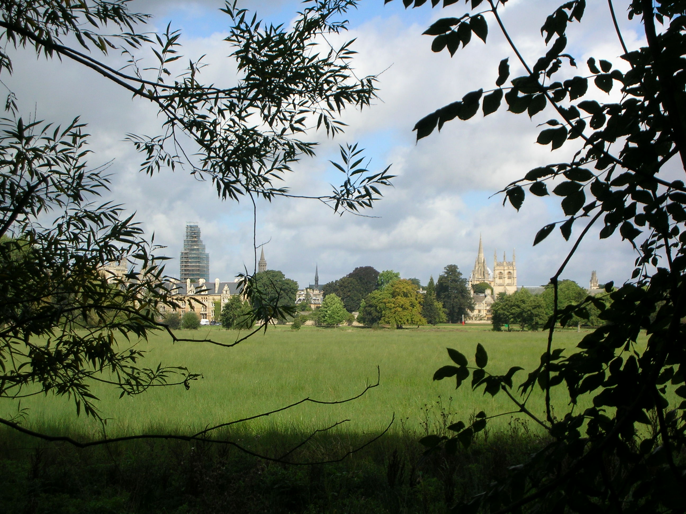
Christ Church Meadow is a picturesque expanse of greenery located in the heart of Oxfordshire, England. Covering an area of approximately 70 acres, it is situated alongside the River Thames and is bounded by the historic Christ Church College and the tranquil University Parks. The Meadow boasts a diverse landscape, featuring lush grasslands, rolling hills, and vibrant flower beds.
This idyllic setting is a popular destination for locals and tourists alike. Its serene atmosphere offers a peaceful retreat from the bustling city, making it an ideal spot for leisurely walks, picnics, and relaxation. Visitors can enjoy the stunning views of Oxford's iconic skyline, including the elegant spires of Christ Church Cathedral and the charming boathouses along the riverbanks.
Christ Church Meadow is home to an array of wildlife, providing a haven for various species of birds, including swans, ducks, and geese. The tranquil waters of the river attract numerous waterfowl, adding to the natural beauty of the area. Additionally, the Meadow is adorned with an assortment of trees, including willows, poplars, and chestnuts, which provide shade and shelter for both visitors and wildlife.
Aside from its natural splendor, the Meadow holds historical significance. It has been used for centuries as a site for traditional May Morning celebrations, where locals gather to listen to the choristers of Christ Church Cathedral singing from the top of the college tower. The Meadow also hosts cricket matches during the summer months, attracting spectators who appreciate the quintessentially British sport.
In conclusion, Christ Church Meadow is a captivating oasis in the heart of Oxfordshire, offering a harmonious blend of natural beauty, historical charm, and recreational opportunities for all who visit.
If you have any feedback on the listing, please let us know in the comments section below.
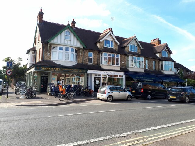
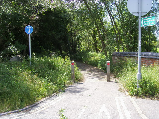
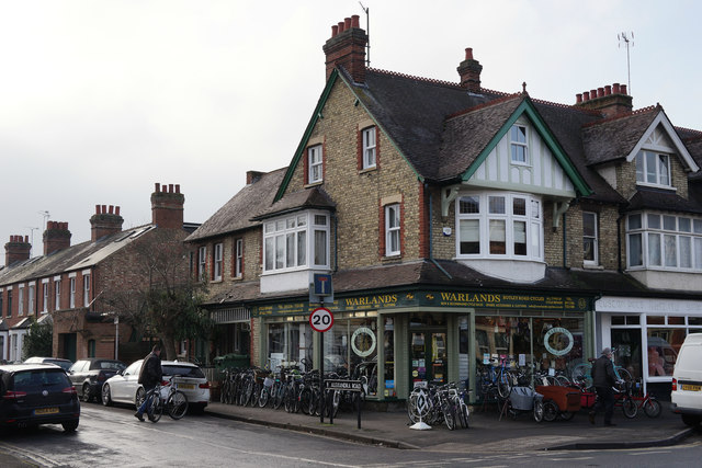
Christ Church Meadow Images
Images are sourced within 2km of 51.745937/-1.2508804 or Grid Reference SP5105. Thanks to Geograph Open Source API. All images are credited.


Christ Church Meadow is located at Grid Ref: SP5105 (Lat: 51.745937, Lng: -1.2508804)
Administrative County: Oxfordshire
District: Oxford
Police Authority: Thames Valley
What 3 Words
///golf.plenty.wished. Near Oxford, Oxfordshire
Nearby Locations
Related Wikis
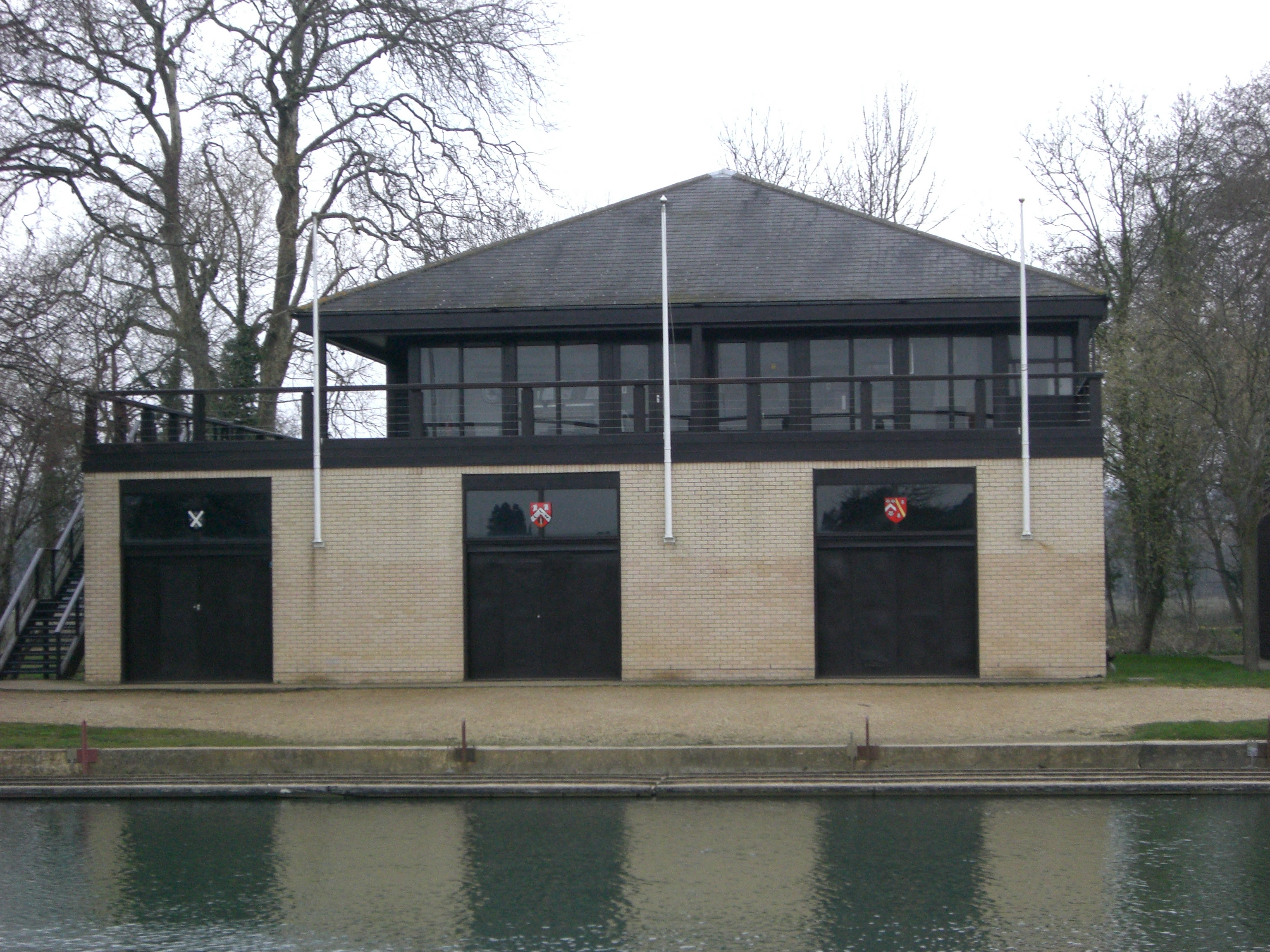
St Hugh's Boat Club
St Hugh's College Boat Club (SHBC) is a rowing club for members of St Hugh's College, Oxford. It is based on the Isis at Boathouse Island, Christ Church...
St Anne's College Boat Club
St Anne's College Boat Club (SABC) is a rowing club for members of St Anne's College, Oxford. It is based on the Isis at Boathouse Island, Christ Church...

St Edmund Hall Boat Club
St Edmund Hall Boat Club (commonly abbreviated to SEHBC) is a rowing club for members of St Edmund Hall, Oxford. It is based in its own boathouse on the...
Christ Church Meadow, Oxford
Christ Church Meadow is a flood-meadow and popular walking and picnic spot in Oxford, England.Roughly triangular in shape, it is bounded by the River Thames...
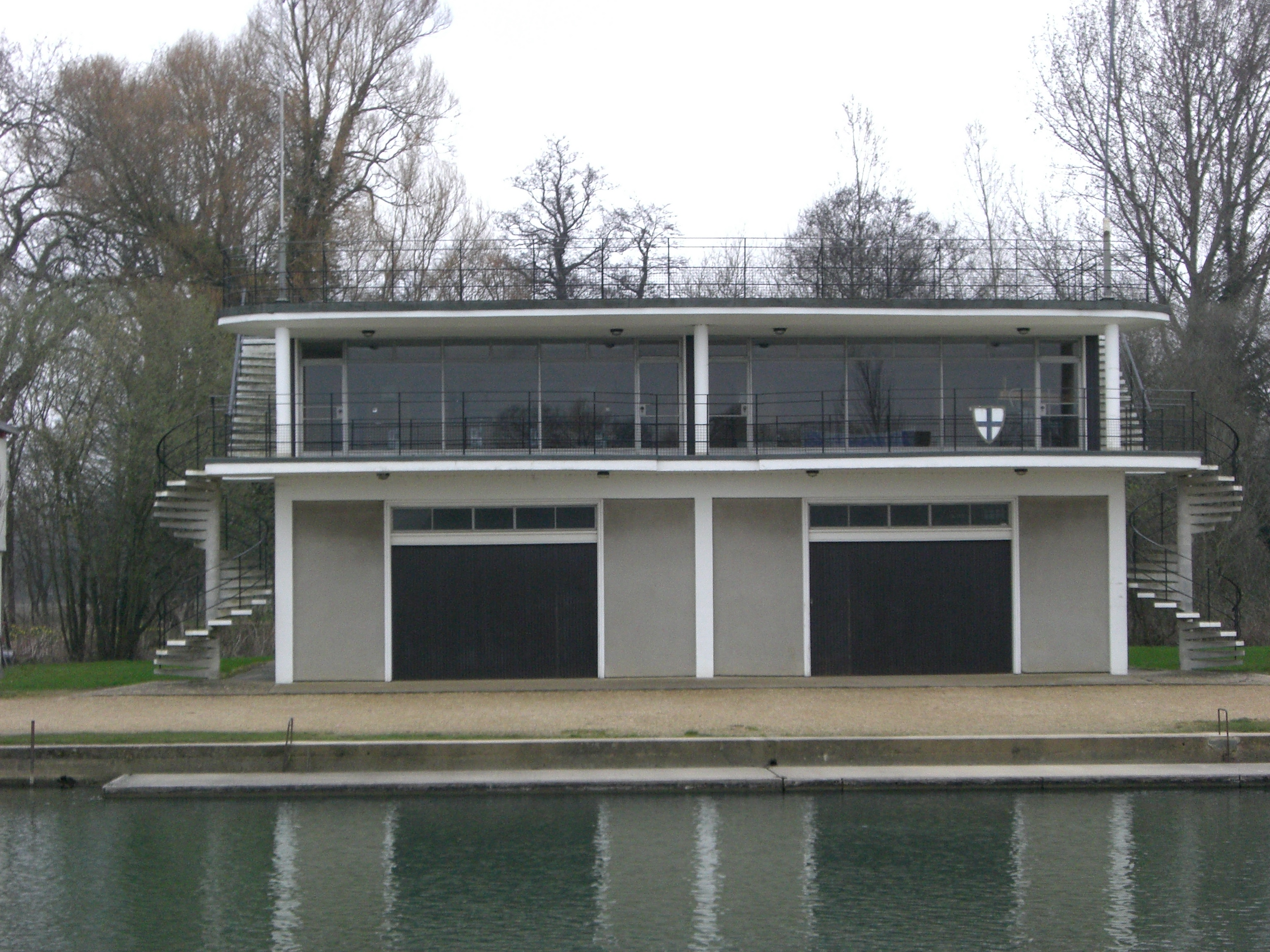
Corpus Christi College Boat Club (Oxford)
Corpus Christi College Boat Club (Oxford) (CCCBC) is a rowing club for members of Corpus Christi College, Oxford. It is based on the Isis at Boathouse...

St Benet's Hall Boat Club
St Benet's Hall Boat Club is a rowing club in Oxford. It used to be the boat club of now defunct St Benet's Hall, Oxford. It is based on the Isis at Boathouse...
St John's College Boat Club (Oxford)
St John's College Boat Club, Oxford (SJCBC) is a rowing club part of the University of Oxford, England, located on the River Thames at Oxford. The club...

Jesus College Boat Club (Oxford)
Jesus College Boat Club is a rowing club for members of Jesus College, Oxford, one of the constituent colleges of the University of Oxford. The club was...
Nearby Amenities
Located within 500m of 51.745937,-1.2508804Have you been to Christ Church Meadow?
Leave your review of Christ Church Meadow below (or comments, questions and feedback).