Burnham Field
Downs, Moorland in Yorkshire
England
Burnham Field

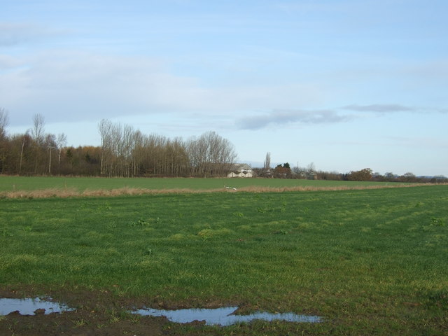
Burnham Field is a picturesque area located in Yorkshire, England, encompassing a diverse landscape of downs, moorland, and grassy fields. Spanning approximately 500 acres, this vast expanse of natural beauty offers awe-inspiring views and a tranquil atmosphere that attracts visitors from all walks of life.
The downs of Burnham Field are characterized by gently rolling hills covered in lush green grass, creating a serene and undulating terrain. This area is perfect for leisurely walks, picnics, and outdoor activities, providing a stunning backdrop for relaxation and recreation.
Further into the field, visitors will encounter the captivating moorland, adorned with heather and bracken. This rugged and wild landscape offers a sense of adventure and exploration, with its vast open spaces and rocky outcrops. The moorland is also home to a variety of wildlife, including birds, foxes, and deer, making it a haven for nature enthusiasts and wildlife photographers.
The grassy fields of Burnham Field are dotted with ancient oak trees, providing shade and a sense of tranquility. These fields are often used for grazing livestock, adding to the pastoral charm of the area. Visitors can often witness sheep or cows peacefully grazing, enhancing the rural ambiance.
Burnham Field is a haven for outdoor enthusiasts and nature lovers alike. With its diverse landscape, including downs, moorland, and grassy fields, it offers a unique and captivating experience for anyone seeking solace in the natural world. Whether it's exploring the moorland, enjoying a picnic on the downs, or simply taking in the breathtaking surroundings, Burnham Field is a true gem in the heart of Yorkshire.
If you have any feedback on the listing, please let us know in the comments section below.
Burnham Field Images
Images are sourced within 2km of 53.970511/-1.2130551 or Grid Reference SE5153. Thanks to Geograph Open Source API. All images are credited.


Burnham Field is located at Grid Ref: SE5153 (Lat: 53.970511, Lng: -1.2130551)
Division: West Riding
Unitary Authority: York
Police Authority: North Yorkshire
What 3 Words
///breakfast.catching.length. Near Upper Poppleton, North Yorkshire
Nearby Locations
Related Wikis

Hessay
Hessay is a village and civil parish in the unitary authority area of the City of York, in the ceremonial county of North Yorkshire, England 4.7 miles...

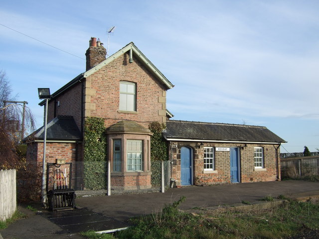
Hessay railway station
Hessay railway station served the village of Hessay, North Yorkshire, England from 1849 to 1964 on the Harrogate line. == History == The station opened...

Marston Moor railway station
Marston Moor railway station served the village of Long Marston, North Yorkshire, England from 1848 to 1967 on the Harrogate line. == History == The station...
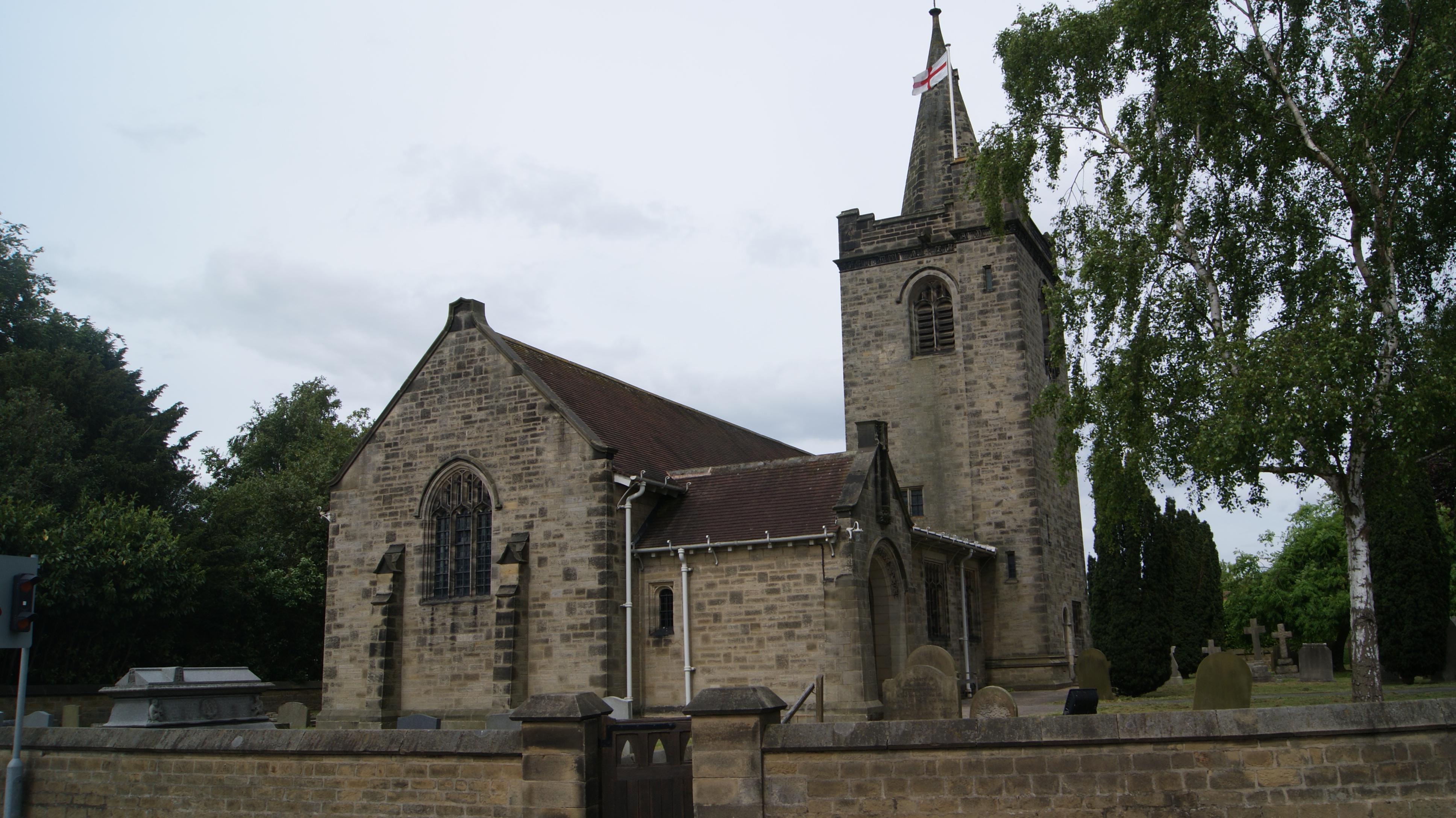
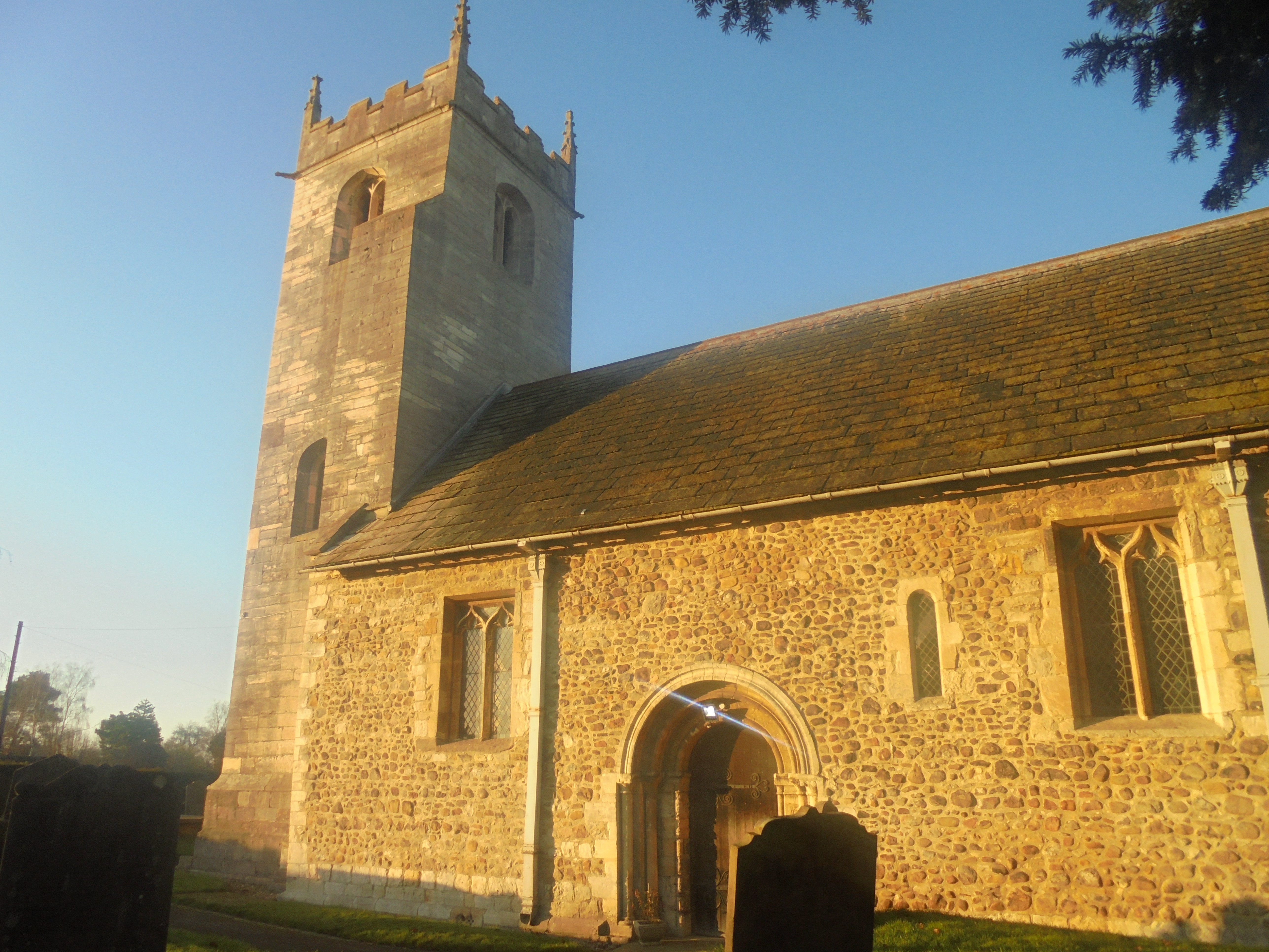
All Saints' Church, Rufforth
All Saints' Church is the parish church of the village of Rufforth, in the rural western part of the City of York, in England. A church was constructed...
Rufforth
Rufforth is a village in the civil parish of Rufforth with Knapton, in the unitary authority area of the City of York in North Yorkshire, England. It lies...

Long Marston, North Yorkshire
Long Marston is a village and civil parish in the Harrogate district of North Yorkshire, England. Historically part of the West Riding of Yorkshire, it...
All Saints' Church, Long Marston
All Saints' Church is the parish church of Long Marston, a village in the Harrogate district of North Yorkshire, in England. A chapel was built at the...
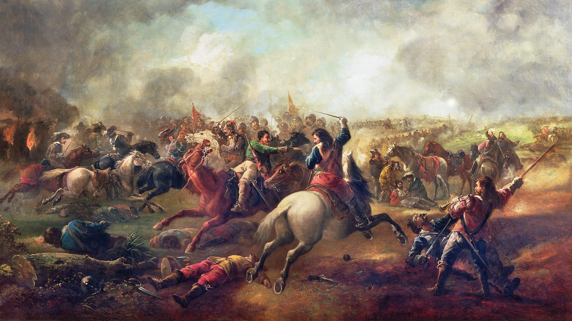
Battle of Marston Moor
The Battle of Marston Moor was fought on 2 July 1644, during the Wars of the Three Kingdoms of 1639–1653. The combined forces of the English Parliamentarians...
Nearby Amenities
Located within 500m of 53.970511,-1.2130551Have you been to Burnham Field?
Leave your review of Burnham Field below (or comments, questions and feedback).