Head Down
Downs, Moorland in Hampshire
England
Head Down
Head Down is a region located in Hampshire, England, encompassing the expansive landscape of the Hampshire Downs and Moorland. Situated in the South East of the country, it covers an area of approximately 100 square miles.
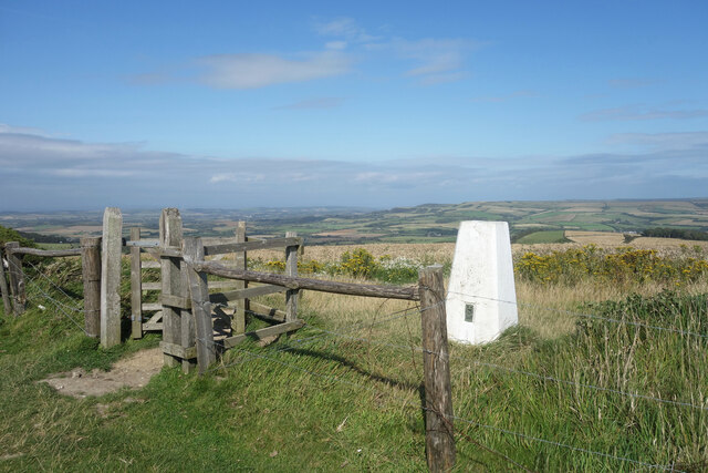
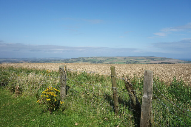
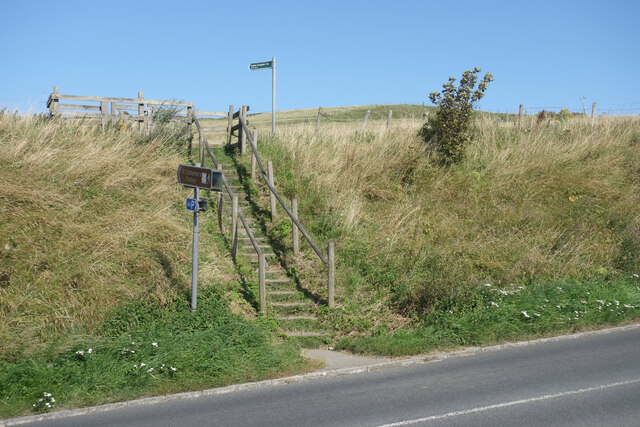
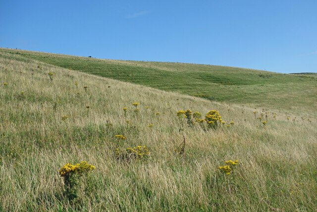
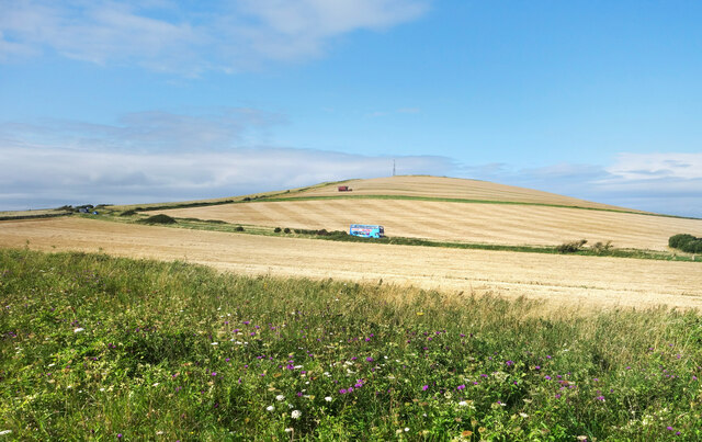
The Hampshire Downs are a series of rolling hills, characterized by their chalky soil and scenic views. This undulating landscape is home to a diverse array of flora and fauna, making it a popular destination for nature enthusiasts and hikers. Visitors can explore the numerous walking trails that traverse the Downs, taking in the breathtaking vistas and discovering the abundant wildlife that inhabits the area.
Adjacent to the Hampshire Downs, the Moorland of Head Down offers a contrasting landscape. This vast expanse of open land is covered in heather, gorse, and grasses, creating a unique ecosystem. The Moorland is known for its rugged terrain and remote feel, providing a sense of tranquility and escape from the bustling urban areas nearby.
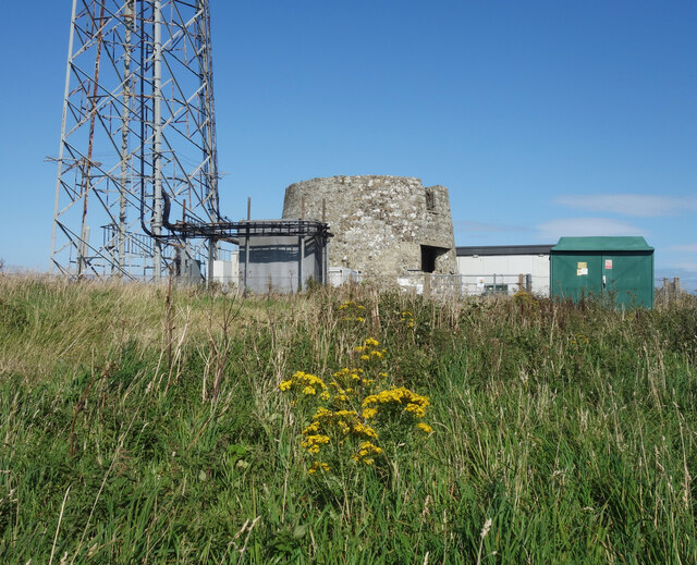
Head Down is also dotted with charming villages and historic landmarks. The villages in the area offer a glimpse into traditional Hampshire life, with their picturesque cottages and quaint country pubs. Additionally, there are several ancient sites of interest, such as burial mounds and Iron Age hill forts, which add a touch of historical significance to the region.
Overall, Head Down, Hampshire provides visitors with a diverse and captivating natural landscape, offering opportunities for outdoor activities, wildlife spotting, and cultural exploration. Its combination of rolling hills, expansive moorland, and charming villages make it a must-visit destination for those seeking a quintessential English countryside experience.
If you have any feedback on the listing, please let us know in the comments section below.
Head Down Images
Images are sourced within 2km of 50.597267/-1.2858171 or Grid Reference SZ5077. Thanks to Geograph Open Source API. All images are credited.


Head Down is located at Grid Ref: SZ5077 (Lat: 50.597267, Lng: -1.2858171)
Unitary Authority: Isle of Wight
Police Authority: Hampshire
What 3 Words
///openly.bends.cushy. Near Niton, Isle of Wight
Nearby Locations
Related Wikis

Bierley, Isle of Wight
Bierley is a hamlet on the Isle of Wight, UK. Bierley is in the south of the Isle of Wight, north of Niton and 0.7 miles to the west of Whitwell. Bierley...
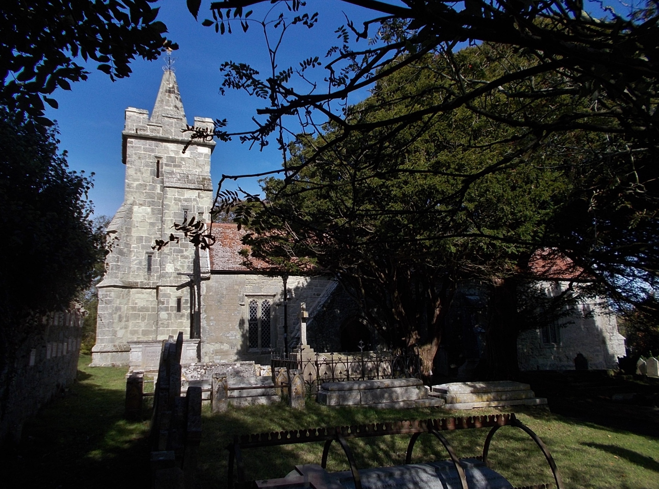
Church of St John the Baptist, Niton
The Church of St John the Baptist, Niton is a Church of England parish church in Niton, Isle of Wight. == History == The church was founded by William...

A3055 road
The A3055 is an A-Class Road on the Isle of Wight in Southern England. It forms the Southern portion of the circular around-the-Island A-class loop, the...

Niton
Niton is a village and former civil parish, now in the parish of Niton and Whitwell, on the Isle of Wight, England. It is west of Ventnor, with a population...

St Catherine's Oratory
St. Catherine's Oratory is a medieval lighthouse on St. Catherine's Down, above the southern coast of the Isle of Wight. It was built by Lord of Chale...
St. Catherine's Down
St. Catherine's Down is a chalk down on the Isle of Wight, located near St Catherine's Point, the southernmost point on the island. The Down rises to...

Church of St Mary and St Radegund, Whitwell
The Church of St. Mary and St. Radegund, Whitwell is a parish church in the Church of England located in Whitwell on the Isle of Wight. == History == The...

Whitwell, Isle of Wight
Whitwell is a small village and former civil parish, now in the parish of Niton and Whitwell, on the south of the Isle of Wight, England, approximately...
Nearby Amenities
Located within 500m of 50.597267,-1.2858171Have you been to Head Down?
Leave your review of Head Down below (or comments, questions and feedback).