Lower Green

Downs, Moorland in Warwickshire Rugby

England

Lower Green

Track near Woolscott The track leads across open countryside towards the Rains Brook.
Track near Woolscott Credit: Stephen McKay

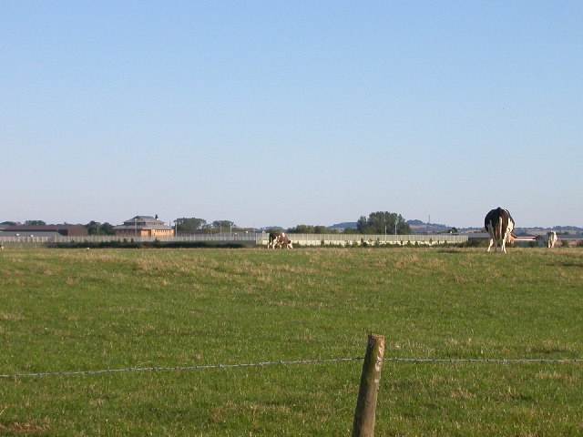
Lower Green is a charming area located in Warwickshire, England. Known for its beautiful natural landscapes, it is a place that offers a unique blend of downs and moorland. The area is characterized by rolling hills, open grasslands, and expansive moorland, creating a picturesque setting that attracts visitors from near and far.

The downs of Lower Green are characterized by their gently sloping hills, covered in lush green grass. These downs provide stunning panoramic views of the surrounding countryside, making it a popular spot for hiking and nature enthusiasts. The area is also home to a variety of wildlife, including several species of birds, rabbits, and deer, adding to its appeal for nature lovers.

The moorland in Lower Green offers a different kind of beauty. Here, the landscape transforms into vast expanses of heather and bracken, creating a rugged and wild atmosphere. This rugged terrain provides excellent opportunities for outdoor activities such as walking, cycling, and horseback riding.

Lower Green is also known for its rich history, with archaeological evidence suggesting human habitation in the area dating back thousands of years. Visitors can explore ancient burial mounds, stone circles, and other historical sites, offering a glimpse into the area's past.

Overall, Lower Green, Warwickshire, with its downs and moorland, offers a unique and diverse natural environment. Whether it's enjoying the breathtaking views from the downs or immersing oneself in the rugged beauty of the moorland, this area is a haven for nature lovers and history enthusiasts alike.

If you have any feedback on the listing, please let us know in the comments section below.
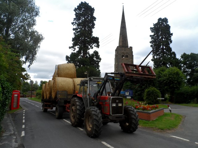
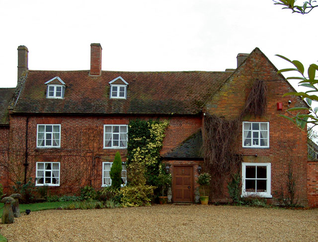
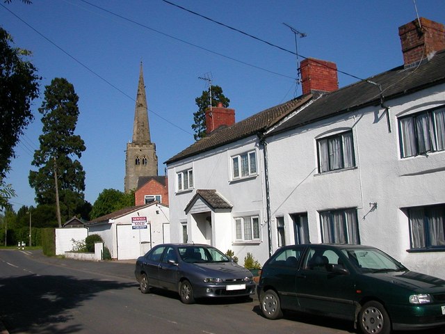
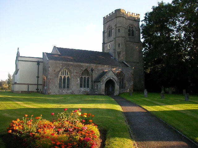
Lower Green Images

Images are sourced within 2km of 52.310373/-1.2652425 or Grid Reference SP5068. Thanks to Geograph Open Source API. All images are credited.

Track near Woolscott The track leads across open countryside towards the Rains Brook.
Track near Woolscott
The track leads across open countryside towards the Rains Brook.
Lane north of Woolscott The lane continues northwards to a junction with the A45. There is a deep ditch to the left of the road which drains into the Rains Brook.
Lane north of Woolscott
The lane continues northwards to a junction with the A45. There is a deep ditch to the left of the road which drains into the Rains Brook.
Farmland north of Woolscott The hedgerow marks the line of a ditch which drains into the Rains Brook. In the distance is higher land on which Dunchurch stands.
Farmland north of Woolscott
The hedgerow marks the line of a ditch which drains into the Rains Brook. In the distance is higher land on which Dunchurch stands.
The Rose Inn, Willoughby The Rose is the only thatched building in the village.  Before 1460 it was known as the Red Rose, but at the time of the Wars of the Roses, the name was abbreviated.

An inglenook chimney in the old bar area includes a deep baking oven, suggesting the building may once have been used as a bakery.

The inn was severely damaged by fire in December 2007 but has since been fully restored.
The Rose Inn, Willoughby
The Rose is the only thatched building in the village. Before 1460 it was known as the Red Rose, but at the time of the Wars of the Roses, the name was abbreviated. An inglenook chimney in the old bar area includes a deep baking oven, suggesting the building may once have been used as a bakery. The inn was severely damaged by fire in December 2007 but has since been fully restored.
Postbox bunny The carrot-chomping rabbit is the latest woolly wonder to grace the village postbox.  It's the work of local knitter Cathy Harrison.
Postbox bunny
The carrot-chomping rabbit is the latest woolly wonder to grace the village postbox. It's the work of local knitter Cathy Harrison.
A45 north of Willoughby Here the A45 is an old-fashioned A road which has retained trunk status even though its traditional role was largely superseded by motorways many years ago. In one of those strange anomalies that afflict the UK road network, the stretch between Daventry and Dunchurch within Warwickshire is restricted to 50mph whereas the stretch in Northamptonshire, which is generally narrower and more sinuous, has the national 60mph limit.
A45 north of Willoughby
Here the A45 is an old-fashioned A road which has retained trunk status even though its traditional role was largely superseded by motorways many years ago. In one of those strange anomalies that afflict the UK road network, the stretch between Daventry and Dunchurch within Warwickshire is restricted to 50mph whereas the stretch in Northamptonshire, which is generally narrower and more sinuous, has the national 60mph limit.
Lawrence Cottage, Grandborough
Harvest time in Grandborough The C14 church of St Peter in the background
Harvest time in Grandborough
The C14 church of St Peter in the background
St Peter's, Grandborough Built in C14 and restored in C19.
St Peter's, Grandborough
Built in C14 and restored in C19.
Making repairs to St Peter's church, Grandborough The church was built in C14 and restored in C19.
Making repairs to St Peter's church, Grandborough
The church was built in C14 and restored in C19.
Junction at Lower Green Left for Grandborough, straight on for Dunchurch.
Junction at Lower Green
Left for Grandborough, straight on for Dunchurch.
Grandborough church St. Peter's is a 14th century grade II*(star) listed building.
Grandborough church
St. Peter's is a 14th century grade II*(star) listed building.
Cottages, Church Road, Grandborough They face the church across the road.
Cottages, Church Road, Grandborough
They face the church across the road.
Track to Whitehall Farm The track leads from Toft towards Whitehall Farm, whose buildings can be seen ahead. From this point it is also a public footpath.
Track to Whitehall Farm
The track leads from Toft towards Whitehall Farm, whose buildings can be seen ahead. From this point it is also a public footpath.
Footpath to Dunchurch The footpath tales a 90 degree turn and heads across this arable field. The stone way-marker is an unusual feature.
Footpath to Dunchurch
The footpath tales a 90 degree turn and heads across this arable field. The stone way-marker is an unusual feature.
Building ruins east of Toft Farm This ruined farm building stands adjacent to the footpath from Dunchurch. Things have not changed much in over eight years: <a href="https://www.geograph.org.uk/photo/1324551">SP4869 : A ruined barn near Toft Hill</a>
Building ruins east of Toft Farm
This ruined farm building stands adjacent to the footpath from Dunchurch. Things have not changed much in over eight years: SP4869 : A ruined barn near Toft Hill
Fields near Whitehall Farm A large area of arable land surrounds Whitehall Farm; this is the view from the footpath that leads down to the Rains Brook and on to Woolscott.
Fields near Whitehall Farm
A large area of arable land surrounds Whitehall Farm; this is the view from the footpath that leads down to the Rains Brook and on to Woolscott.
Footpath to Dunchurch The footpath passes over the stile to the right of the gate and continues along the edge of the field.
Footpath to Dunchurch
The footpath passes over the stile to the right of the gate and continues along the edge of the field.
Show me another place!

Lower Green is located at Grid Ref: SP5068 (Lat: 52.310373, Lng: -1.2652425)

Administrative County: Warwickshire

District: Rugby

Police Authority: Warwickshire

What 3 Words

///presume.escalated.blip. Near Dunchurch, Warwickshire

Related Wikis

Woolscott

Woolscott is a hamlet in the civil parish of Grandborough, in the Rugby district, in the county of Warwickshire, England. In 1870-72 it had a population...

Rains Brook

Rains Brook is a 11.8-kilometre-long (7.3 mi) tributary of the River Leam.Formed by a series of small headwater streams midway between Barby and Kilsby...

Grandborough

Grandborough is a small village and civil parish in the Rugby district, in the county of Warwickshire, England. The parish includes the hamlets of Calcutt...

Willoughby, Warwickshire

Willoughby is a village and civil parish about 5 miles (8 km) south of Rugby, Warwickshire, England. The village is about 4.5 miles (7 km) northwest of...

Onley (lost settlement)

The lost village of Onley is in the parish of Barby in the English county of Northamptonshire. The site is bordered on the north by the M45 motorway. On...

HM Prison Onley

HM Prison Onley is a Category C men's prison, operated by His Majesty's Prison Service. The prison is named after the lost village of Onley, which is located...

Rainsbrook Secure Training Centre

Rainsbrook Secure Training Centre is a secure school and housing unit for children and teenagers between Dunchurch and Barby, south of Rugby, in Warwickshire...

Braunston and Willoughby railway station

Braunston and Willoughby railway station was a station on the former Great Central Main Line. It served the small village of Willoughby which it was located...

Related Videos

Walk Onto The Path Or We Will Call The Police As You Are Trespassing On Public Property 😲🎥❌

Today we are joined by @NewsNowYorkshire as we take a walk around HM Prison Onley, Rugby CV23 8AP. We speak to the ...

Have you been to Lower Green?

Leave your review of Lower Green below (or comments, questions and feedback).