Kirkby Park

Downs, Moorland in Nottinghamshire Ashfield

England

Kirkby Park

The church garden, St Wilfrid's The church garden is how this is described on a sign at the front of the church. It includes a garden of remembrance.
The church garden, St Wilfrid's Credit: Bill Boaden

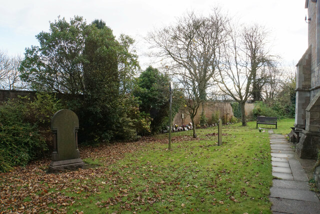
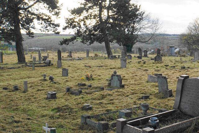
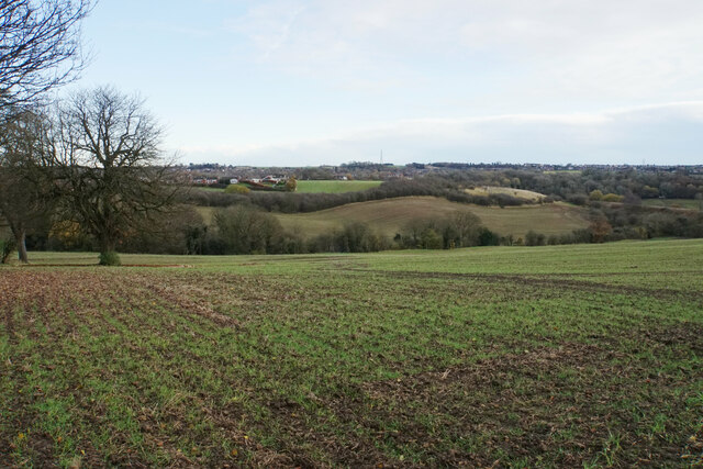
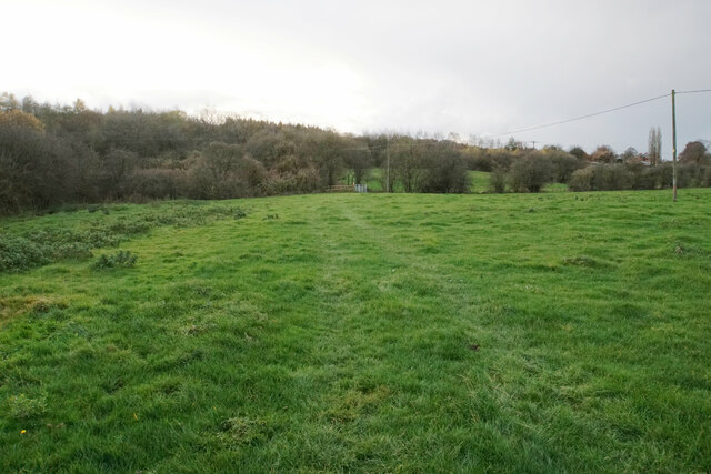
Kirkby Park is a picturesque area located in Nottinghamshire, England, known for its stunning downs and moorland landscapes. With a total area of approximately 100 acres, it is a popular destination for nature lovers and outdoor enthusiasts.

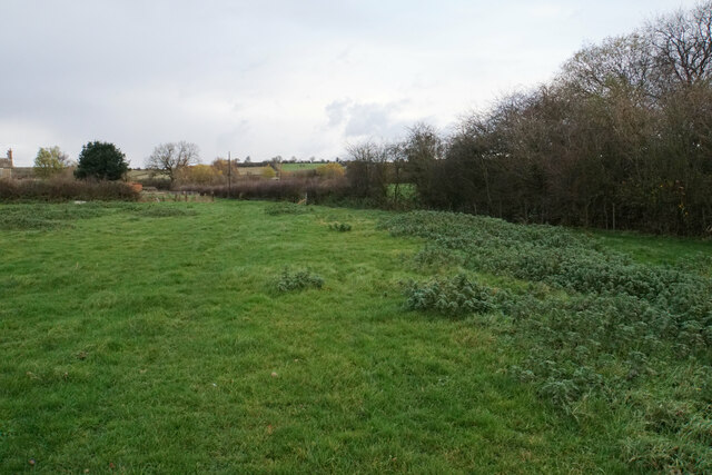
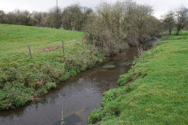
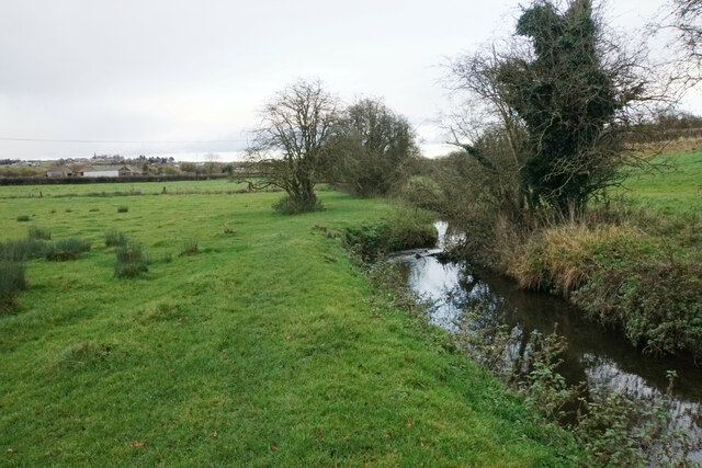
The park is characterized by its rolling hills, open grasslands, and expansive moorlands, providing visitors with breathtaking panoramic views of the surrounding countryside. The downs in Kirkby Park are abundant in diverse flora and fauna, making it a haven for wildlife enthusiasts and birdwatchers. The moorland areas feature an array of heather and gorse, creating a vibrant and colorful landscape, particularly during the summer months.

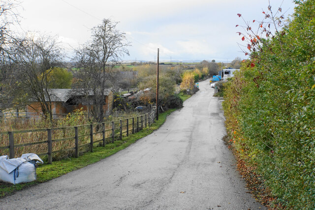
The park offers several walking trails and paths, allowing visitors to explore its natural beauty at their own pace. These trails cater to various levels of difficulty, ensuring there is something for everyone, from leisurely strolls to more challenging hikes. Along the way, visitors may come across historic landmarks and ancient ruins, adding a touch of history and intrigue to their outdoor experience.

Kirkby Park is also home to a variety of recreational activities. Many visitors engage in picnics, kite flying, and photography, taking advantage of the park's idyllic setting. Additionally, the park provides opportunities for horse riding and cycling, with designated routes and facilities available.

With its stunning downs, moorland landscapes, and diverse recreational activities, Kirkby Park in Nottinghamshire offers a wonderful escape into nature for both locals and tourists alike.

If you have any feedback on the listing, please let us know in the comments section below.
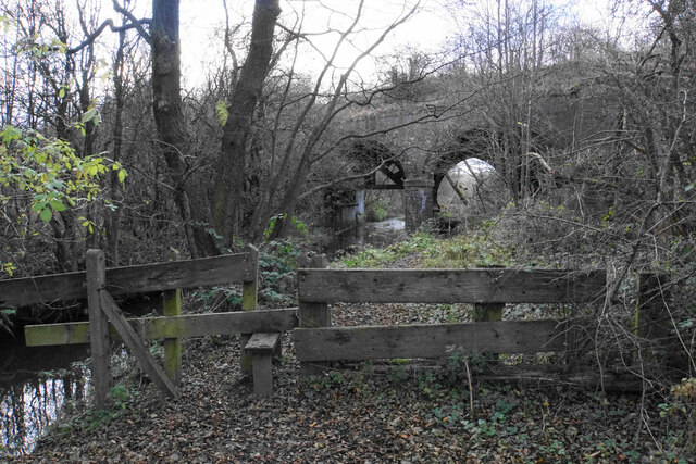
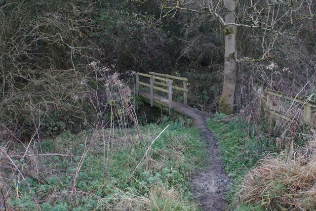
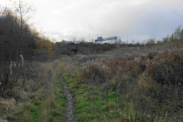
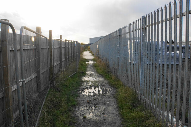
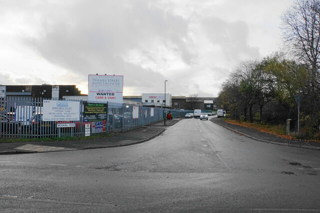
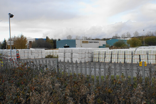
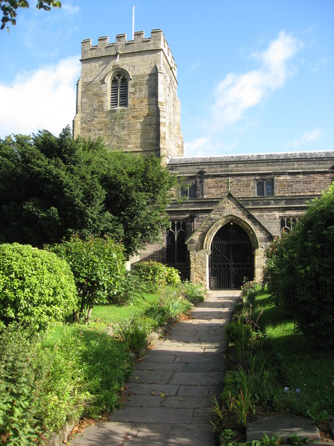
Kirkby Park Images

Images are sourced within 2km of 53.082453/-1.2854896 or Grid Reference SK4754. Thanks to Geograph Open Source API. All images are credited.

The church garden, St Wilfrid's The church garden is how this is described on a sign at the front of the church. It includes a garden of remembrance.
The church garden, St Wilfrid's
The church garden is how this is described on a sign at the front of the church. It includes a garden of remembrance.
St Wilfrid's Churchyard Extension A little bit further along Castle Hill from the church. The former Bentinck Pit used to be in the valley ahead.
St Wilfrid's Churchyard Extension
A little bit further along Castle Hill from the church. The former Bentinck Pit used to be in the valley ahead.
Valley below Castle Hill The valley produces some of the headwaters of the River Erewash. Some of the southern suburbs of Kirkby-in-Ashfield are seen on the other side.
Valley below Castle Hill
The valley produces some of the headwaters of the River Erewash. Some of the southern suburbs of Kirkby-in-Ashfield are seen on the other side.
St Wilfrid's Park I think the route only has this name because of houses which have been built to the right which require this road as access. It follows the line of a former railway.
St Wilfrid's Park
I think the route only has this name because of houses which have been built to the right which require this road as access. It follows the line of a former railway.
Land being developed by Spring Meadow I don't know what this development is. Until fairly recently, the land was a field.
Land being developed by Spring Meadow
I don't know what this development is. Until fairly recently, the land was a field.
Track to Meadow Farm The track is a turning off Park Lane in the Erewash valley. It is also a public bridleway.
Track to Meadow Farm
The track is a turning off Park Lane in the Erewash valley. It is also a public bridleway.
Harvested field in the Erewash valley Looking up the hill towards Kirkby-in-Ashfield where the spire of St Wilfrid's Church is prominent.
Harvested field in the Erewash valley
Looking up the hill towards Kirkby-in-Ashfield where the spire of St Wilfrid's Church is prominent.
Track to Meadow Farm The track is going under the former railway servicing Bentinck Pit, and there are three separate spans to go under.
Track to Meadow Farm
The track is going under the former railway servicing Bentinck Pit, and there are three separate spans to go under.
Footpath to Kirkby Park The path is in the Erewash valley and the river flows where the gate can be seen ahead. A bit of Lower Portland Farm can be seen in the trees.
Footpath to Kirkby Park
The path is in the Erewash valley and the river flows where the gate can be seen ahead. A bit of Lower Portland Farm can be seen in the trees.
Path to Kirkby-in-Ashfield The path will go past Meadow Farm which is seen on the left.
Path to Kirkby-in-Ashfield
The path will go past Meadow Farm which is seen on the left.
River Erewash The river is noted for marking the boundary between Derbyshire and Nottinghamshire but this early part of its course is all in Nottinghamshire.
River Erewash
The river is noted for marking the boundary between Derbyshire and Nottinghamshire but this early part of its course is all in Nottinghamshire.
Path to Kirkby-in-Ashfield Kirkby-in-Ashfield is seen on the hill ahead. The path runs beside the River Erewash.
Path to Kirkby-in-Ashfield
Kirkby-in-Ashfield is seen on the hill ahead. The path runs beside the River Erewash.
Path to Pinxton The path follows the north side of the River Erewash. It is about to go under a dismantled railway which used to service Bentinck Colliery.
Path to Pinxton
The path follows the north side of the River Erewash. It is about to go under a dismantled railway which used to service Bentinck Colliery.
Footpath to Selston The path has to cross the River Erewash here, before running alongside the M1 motorway for a bit.
Footpath to Selston
The path has to cross the River Erewash here, before running alongside the M1 motorway for a bit.
Path to Pinxton The path is about to go under the M1 motorway. The motorway marks the end of a pleasant green stretch next to the River Erewash.
Path to Pinxton
The path is about to go under the M1 motorway. The motorway marks the end of a pleasant green stretch next to the River Erewash.
Path to Pinxton On the western side of the M1 motorway, the path follows a diverted route through dormant industrial land.
Path to Pinxton
On the western side of the M1 motorway, the path follows a diverted route through dormant industrial land.
Brookhill Road Access to Brookhill Industrial Estate.
Brookhill Road
Access to Brookhill Industrial Estate.
Reader Cement Products The headquarters of a cement manufacturer.
Reader Cement Products
The headquarters of a cement manufacturer.
Show me another place!

Kirkby Park is located at Grid Ref: SK4754 (Lat: 53.082453, Lng: -1.2854896)

Administrative County: Nottinghamshire

District: Ashfield

Police Authority: Nottinghamshire

What 3 Words

///valid.path.email. Near Pinxton, Derbyshire

Nearby Locations

Kirkby Park

Related Wikis

Selston F.C.

Selston F.C. is a football club based in Selston, Nottinghamshire. They are currently members of the United Counties League Division One and play at the...

Pinxton and Selston railway station

Pinxton and Selston railway station served the villages of Pinxton, Derbyshire and Selston, Nottinghamshire. It was located on the Midland Railway's Mansfield...

Kirkby Bentinck railway station

Kirkby Bentinck railway station served the town of Kirkby-in-Ashfield, Nottinghamshire, England. It was on the Annesley branch of the Manchester, Sheffield...

Selston

Selston is a large village and civil parish in the Ashfield District of Nottinghamshire, England. It is situated 12 miles (19.3 km) north-northwest of...

Nearby Amenities

Located within 500m of 53.082453,-1.2854896
Barrier: kissing_gate
Lat/Long: 53.0839952/-1.2884222
The data included in this document is from www.openstreetmap.org. The data is made available under ODbL.

Have you been to Kirkby Park?

Leave your review of Kirkby Park below (or comments, questions and feedback).