Abingdon Common

Downs, Moorland in Berkshire Vale of White Horse

England

Abingdon Common

Shippon: looking from the pub car park towards the church
Shippon: looking from the pub car park towards the church Credit: Basher Eyre

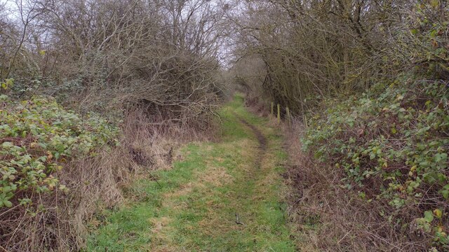
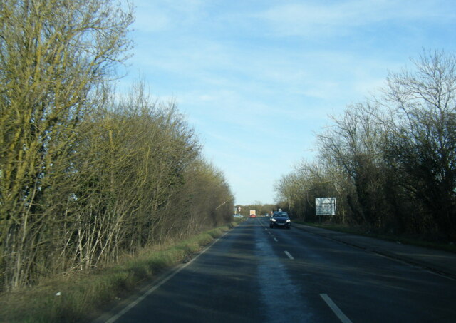
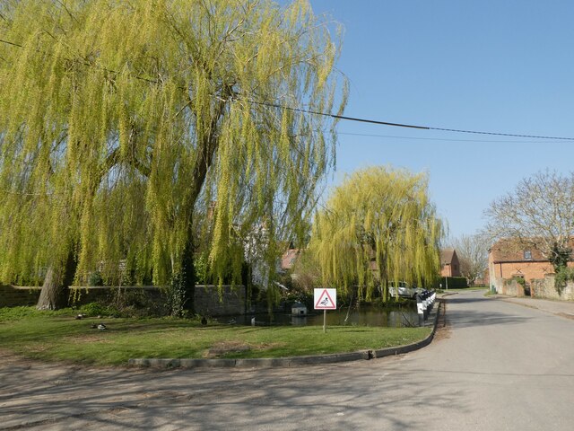
Abingdon Common is a picturesque expanse of land located in Berkshire, England. It stretches across a vast area of downs and moorland, offering a diverse and captivating landscape for visitors to explore. The common is renowned for its natural beauty and is a popular destination for nature enthusiasts and hikers alike.

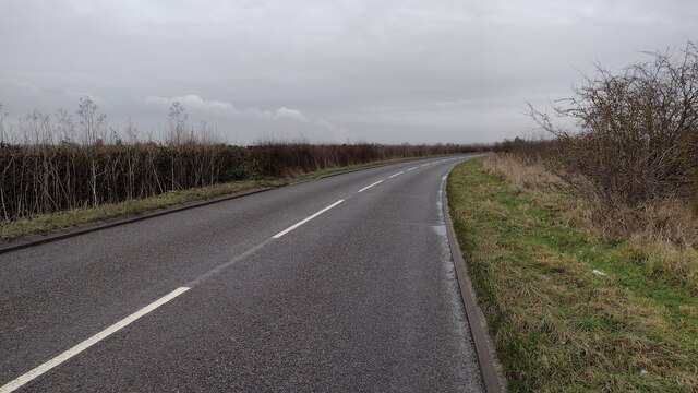
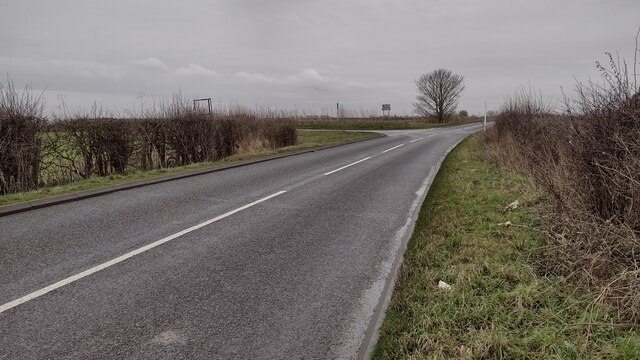
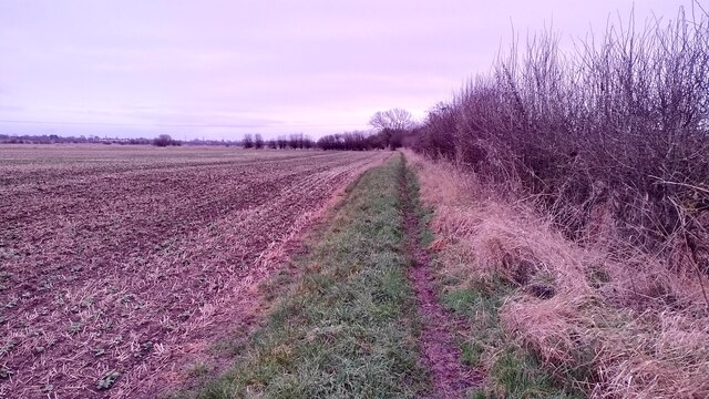
The downs of Abingdon Common are characterized by rolling hills and stunning panoramic views. The lush greenery and open spaces provide a tranquil setting for outdoor activities such as walking, picnicking, and birdwatching. The area is home to an array of wildlife, including various bird species, rabbits, and occasionally deer.

Moving towards the moorland, visitors will be greeted by a different ambiance. The moors of Abingdon Common feature heather-covered landscapes, interspersed with scattered trees and bushes. This unique combination creates an enchanting atmosphere, especially during the blooming season when the heather is in full blossom, painting the area in vibrant shades of purple.

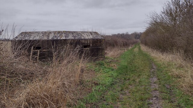
Abingdon Common is also notable for its historical significance. The common has been used for grazing livestock for centuries and still serves as a vital resource for local farmers today. The traditional farming practices and the presence of livestock add to the charm of the area, providing visitors with an authentic rural experience.

Overall, Abingdon Common in Berkshire offers a captivating blend of downs and moorland, a haven for nature lovers seeking tranquility and beauty. With its stunning vistas, diverse wildlife, and rich history, it is undoubtedly a must-visit destination for those exploring the region.

If you have any feedback on the listing, please let us know in the comments section below.

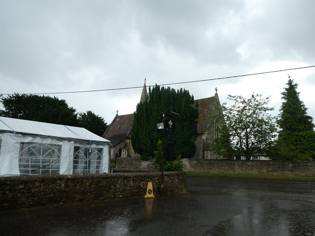
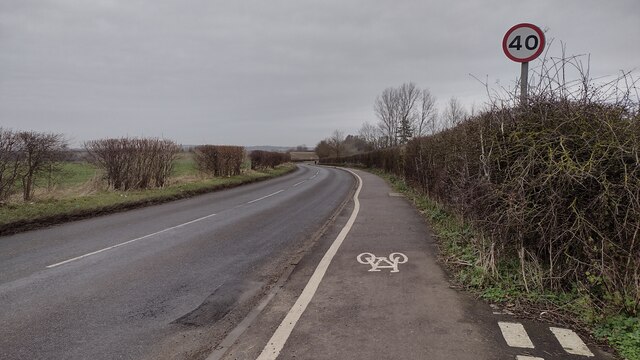
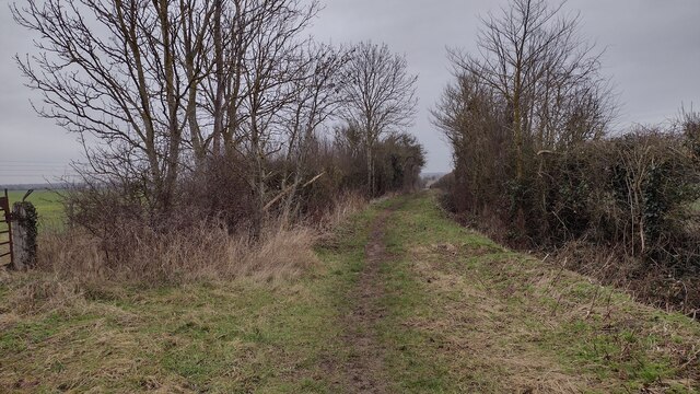
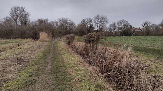
Abingdon Common Images

Images are sourced within 2km of 51.664802/-1.3161693 or Grid Reference SU4796. Thanks to Geograph Open Source API. All images are credited.

Shippon: looking from the pub car park towards the church
Drayton Road Drayton Road B4017 heading to Abingdon
Drayton Road
Drayton Road B4017 heading to Abingdon
Restricted Byway Restricted Byway heading to New Cut Mill
Restricted Byway
Restricted Byway heading to New Cut Mill
Restricted Byway Restricted Byway nearing New Cut Mill
Restricted Byway
Restricted Byway nearing New Cut Mill
River Ock Bridge over River Ock
River Ock
Bridge over River Ock
Park Crescent Park Crescent at junction with Park Road
Park Crescent
Park Crescent at junction with Park Road
Abingdon Bowling club The Green Abingdon Bowling club in Albert Park
Abingdon Bowling club
The Green Abingdon Bowling club in Albert Park
Faringdon Road Faringdon Road heading to Marcham Road
Faringdon Road
Faringdon Road heading to Marcham Road
Faringdon Road Faringdon Road passing the left turn to Shippon
Faringdon Road
Faringdon Road passing the left turn to Shippon
Peat Moor Lane Off Marcham Road the Peat Moor Lane bridleway heading to Cow Lane
Peat Moor Lane
Off Marcham Road the Peat Moor Lane bridleway heading to Cow Lane
Cow Lane Cow Lane passing an old Pillbox heading to Peat Moor Lane
Cow Lane
Cow Lane passing an old Pillbox heading to Peat Moor Lane
Informal Path Informal path joins the bridleway to Drayton at the left hedge line
Informal Path
Informal path joins the bridleway to Drayton at the left hedge line
A415 Packhorse Lane, Marcham
A415 Marcham Road
A415 Marcham Road
Drayton Road, Abingdon
Junction of Howard Cornish Road and Anson Close
Looking north-west in Sutton Wick Lane
A34 near Abingdon The A34 is a major road which runs from the A33 and M3 at Winchester in Hampshire, to the A6 & A6042 in Salford, Greater Manchester. It forms a large part of the major trunk route from Southampton, via Oxford, to Birmingham, The Potteries and Manchester.

The road is in two sections. The northern section runs south through Manchester and Cheadle, and bypasses Handforth, Wilmslow and Alderley Edge, before passing through Congleton, Newcastle-under-Lyme, and the southern suburbs of Stoke-on-Trent. It then continues south via Stone, Stafford, Cannock and Walsall, passes through the middle of Birmingham (where it briefly merges with the A41), before meeting the M42 motorway at junction 4 south of Solihull.

The southern section begins some 50 miles (80 km) to the south, at junction 9 of the M40 motorway, 10 miles (16 km) north of Oxford. It continues south as the western part of the Oxford Ring Road, crossing the River Thames on the A34 Road Bridge. It then bypasses Abingdon, Didcot, and Newbury before finally finishing just east of Winchester, at junction 9 of the M3 motorway. This part of the A34 is dual carriageway throughout.

Together with parts of the M3 and the M40, the southern section of the A34 forms an important route carrying freight from Southampton to the Midlands. Because of the volume of traffic, bypasses were built along this route; at Newbury on the A34, and at Twyford Down near Winchester on the M3, but these were controversial for environmental reasons and were the scene of significant direct action environmental protests in the 1990s. Instead of cutting a short road tunnel through Twyford Down, the entire escarpment was carved-out and the motorway placed through it.

(abridged from Wikipedia <span class="nowrap"><a title="http://en.wikipedia.org/wiki/A34_road" rel="nofollow ugc noopener" href="http://en.wikipedia.org/wiki/A34_road">Link</a><img style="margin-left:2px;" alt="External link" title="External link - shift click to open in new window" src="https://s1.geograph.org.uk/img/external.png" width="10" height="10"/></span> )
A34 near Abingdon
The A34 is a major road which runs from the A33 and M3 at Winchester in Hampshire, to the A6 & A6042 in Salford, Greater Manchester. It forms a large part of the major trunk route from Southampton, via Oxford, to Birmingham, The Potteries and Manchester. The road is in two sections. The northern section runs south through Manchester and Cheadle, and bypasses Handforth, Wilmslow and Alderley Edge, before passing through Congleton, Newcastle-under-Lyme, and the southern suburbs of Stoke-on-Trent. It then continues south via Stone, Stafford, Cannock and Walsall, passes through the middle of Birmingham (where it briefly merges with the A41), before meeting the M42 motorway at junction 4 south of Solihull. The southern section begins some 50 miles (80 km) to the south, at junction 9 of the M40 motorway, 10 miles (16 km) north of Oxford. It continues south as the western part of the Oxford Ring Road, crossing the River Thames on the A34 Road Bridge. It then bypasses Abingdon, Didcot, and Newbury before finally finishing just east of Winchester, at junction 9 of the M3 motorway. This part of the A34 is dual carriageway throughout. Together with parts of the M3 and the M40, the southern section of the A34 forms an important route carrying freight from Southampton to the Midlands. Because of the volume of traffic, bypasses were built along this route; at Newbury on the A34, and at Twyford Down near Winchester on the M3, but these were controversial for environmental reasons and were the scene of significant direct action environmental protests in the 1990s. Instead of cutting a short road tunnel through Twyford Down, the entire escarpment was carved-out and the motorway placed through it. (abridged from Wikipedia LinkExternal link )
Show me another place!

Abingdon Common is located at Grid Ref: SU4796 (Lat: 51.664802, Lng: -1.3161693)

Administrative County: Oxfordshire

District: Vale of White Horse

Police Authority: Thames Valley

What 3 Words

///assure.ridiculed.force. Near Marcham, Oxfordshire

Nearby Locations

Abingdon Common

Related Wikis

McTimoney College of Chiropractic

McTimoney College of Chiropractic is a chiropractic college, is part of the College of Health and validated by Ulster University in Abingdon, Oxfordshire...

Shippon

Shippon is a village in Oxfordshire, England, 1 mile west of Abingdon. It is the largest village in the civil parish of St. Helen Without, in Vale of...

Larkmead School

Larkmead School is a coeducational secondary school and sixth form situated on Faringdon Road, in Abingdon-on-Thames, Oxfordshire, England.It collaborates...

Marcham

Marcham is a village and civil parish about 2 miles (3 km) west of Abingdon, Oxfordshire. The 2011 Census recorded the parish's population as 1,905. The...

Sutton Wick air crash

The Sutton Wick air crash occurred on 5 March 1957 when a Blackburn Beverley C Mk 1 heavy transport aircraft, serial number XH117, of 53 Squadron Royal...

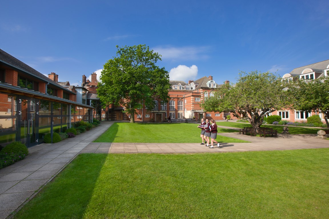
St Helen and St Katharine

St. Helen and St. Katharine is a private girls' day school in Abingdon, Oxfordshire. == History == St Helen's School, Abingdon was founded in 1903 by the...

Caldecott, Oxfordshire

Caldecott is a suburb of Abingdon in Oxfordshire, England. Caldecott was formerly part of Sutton Wick but is now part of Abingdon.

Albert Park, Abingdon

Abingdon Park is a park on Park Road in the northwest of the town of Abingdon, Oxfordshire (formerly in Berkshire), England. == Overview == The park is...

Nearby Amenities

Located within 500m of 51.664802,-1.3161693
Motorway Junction
Marcham Road Interchange
Lat/Long: 51.6655998/-1.3124556
Power: pole
Source: Bing
Lat/Long: 51.6648927/-1.3131099
Power: pole
Source: Bing
Lat/Long: 51.6649935/-1.3121017
Power: pole
Source: Bing
Lat/Long: 51.6646052/-1.3145561
Power: pole
Source: Bing
Lat/Long: 51.6667078/-1.3109964
Power: pole
Source: Bing
Lat/Long: 51.6661055/-1.3114014
Power: pole
Source: Bing
Lat/Long: 51.6623875/-1.3167528
Power: pole
Source: Bing
Lat/Long: 51.6635388/-1.3156182
Power: pole
Source: Bing
Lat/Long: 51.6615157/-1.3176272
Power: pole
Source: Bing
Lat/Long: 51.6607603/-1.3185016
The data included in this document is from www.openstreetmap.org. The data is made available under ODbL.

Have you been to Abingdon Common?

Leave your review of Abingdon Common below (or comments, questions and feedback).