East Field
Downs, Moorland in Yorkshire Harrogate
England
East Field
East Field is a picturesque area located in the county of Yorkshire in England. Situated amidst the breathtaking beauty of the Yorkshire Downs and Moorland, this region offers a sublime blend of natural landscapes, rich cultural heritage, and outdoor recreational opportunities.
The Downs in East Field are characterized by rolling hills and expansive grasslands. The area is adorned with vibrant wildflowers during the spring and summer months, creating a carpet of colors that stretches as far as the eye can see. These gentle slopes provide a serene setting for leisurely walks, picnics, and horseback riding, offering visitors a chance to immerse themselves in the tranquility of nature.
Moorland, on the other hand, reveals a more rugged terrain with vast expanses of heather and peat bogs. This dramatic landscape offers a unique atmosphere and breathtaking panoramic views. The moors are home to various bird species, including the iconic red grouse, making it a popular destination for birdwatchers and nature enthusiasts.
East Field’s history is deeply rooted in agriculture, with traditional farming practices still visible in the landscape. Quaint villages dot the area, showcasing charming stone houses and historic landmarks. Visitors can explore the local history at museums and heritage sites, discovering the region’s past through artifacts and interactive exhibits.
For those seeking adventure, East Field offers ample opportunities for outdoor activities like hiking, cycling, and even rock climbing. The area boasts an extensive network of trails, providing access to hidden gems nestled within its natural wonders.
Overall, East Field in Yorkshire is a captivating destination that seamlessly blends the beauty of the Downs and Moorland, offering visitors a chance to connect with nature and immerse themselves in the rich cultural heritage of the region.
If you have any feedback on the listing, please let us know in the comments section below.
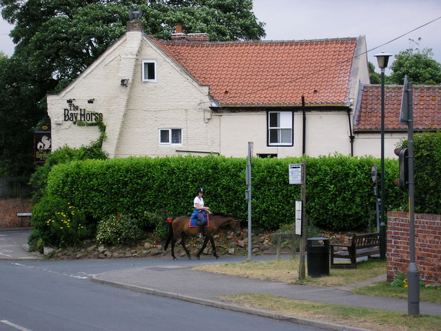
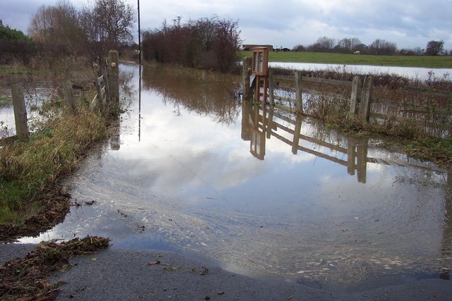
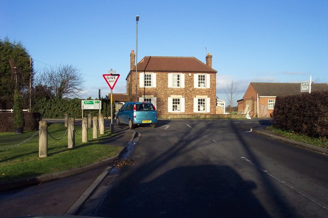
East Field Images
Images are sourced within 2km of 53.992832/-1.2795187 or Grid Reference SE4755. Thanks to Geograph Open Source API. All images are credited.


East Field is located at Grid Ref: SE4755 (Lat: 53.992832, Lng: -1.2795187)
Division: West Riding
Administrative County: North Yorkshire
District: Harrogate
Police Authority: North Yorkshire
What 3 Words
///treatable.harps.scramble. Near Linton upon Ouse, North Yorkshire
Nearby Locations
Related Wikis

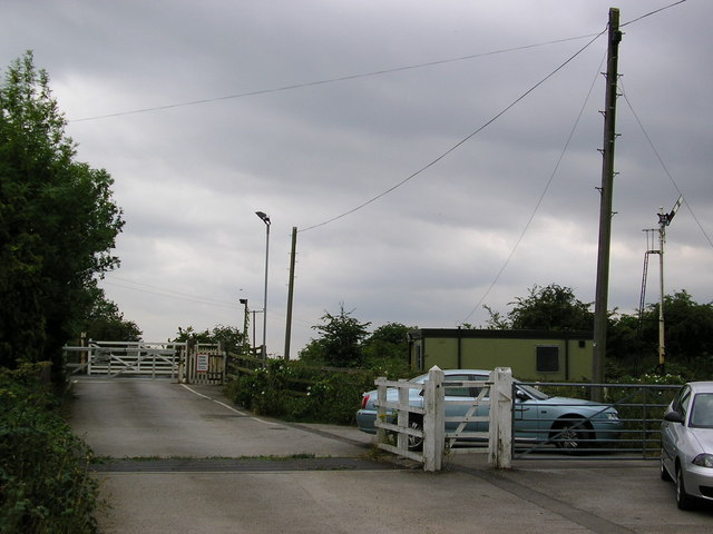
Hammerton railway station
Hammerton is a railway station on the Harrogate Line, which runs between Leeds and York via Harrogate. The station, situated 8+3⁄4 miles (14 km) west of...
Kirk Hammerton
Kirk Hammerton is a village and civil parish in the Harrogate district of North Yorkshire, England. It is near the River Nidd and the A59 road, 10 miles...
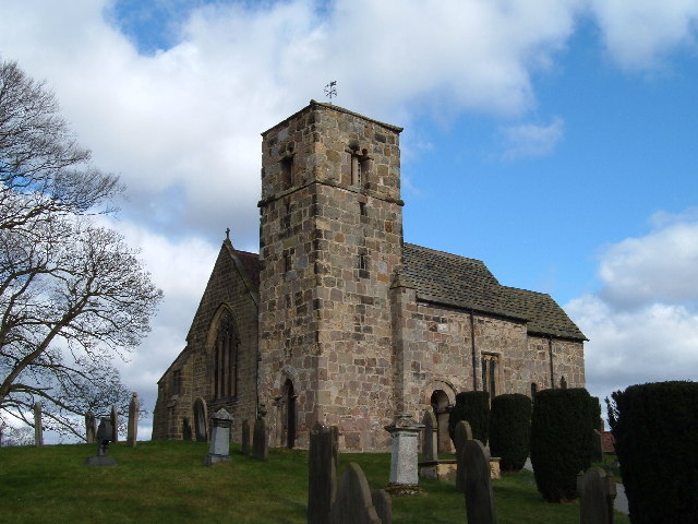
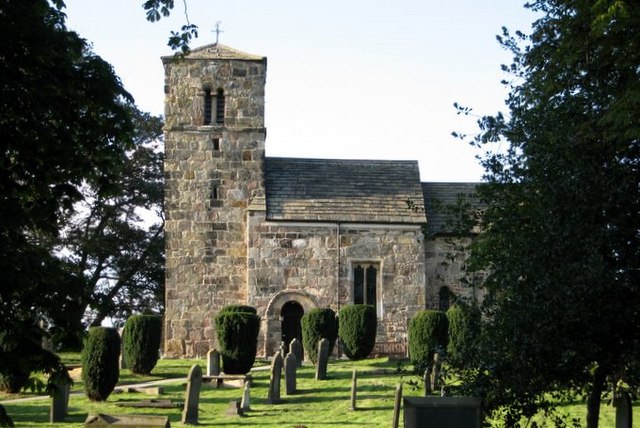
St John the Baptist Church, Kirk Hammerton
St John the Baptist Church, Kirk Hammerton is a Grade I listed Church of England church located in the village of Kirk Hammerton, North Yorkshire, England...

Wilstrop
Wilstrop is a civil parish about 8 miles (13 km) west of York, in the Harrogate district, in the county of North Yorkshire, England. In 2001 the parish...
Nearby Amenities
Located within 500m of 53.992832,-1.2795187Have you been to East Field?
Leave your review of East Field below (or comments, questions and feedback).