Cass's Plantation
Wood, Forest in Yorkshire Harrogate
England
Cass's Plantation
Cass's Plantation is a sprawling woodland area located in Yorkshire, England. Covering a vast expanse of land, it is one of the largest plantations in the region. The plantation is named after its founder, Mr. John Cass, who established it in the early 19th century.
The plantation boasts a diverse array of tree species, making it a haven for nature enthusiasts and researchers alike. The dominant species include oak, beech, and pine, creating a rich and varied ecosystem. The woodland is also home to an abundance of wildlife, including deer, foxes, and various bird species.
Visitors to Cass's Plantation can enjoy a range of recreational activities. The extensive network of trails provides ample opportunities for hiking, walking, and cycling, allowing visitors to immerse themselves in the natural beauty of the woodland. The plantation also features picnic areas and designated camping spots, welcoming families and outdoor enthusiasts to spend quality time in a serene environment.
In recent years, Cass's Plantation has become an important site for environmental conservation efforts. The plantation management actively promotes sustainable practices, such as selective logging and reforestation, to maintain the ecological balance of the area.
Overall, Cass's Plantation in Yorkshire offers a picturesque and tranquil setting for nature lovers to explore and appreciate the wonders of a diverse woodland ecosystem. Its rich history, coupled with its commitment to conservation, makes it a significant landmark in the region.
If you have any feedback on the listing, please let us know in the comments section below.
Cass's Plantation Images
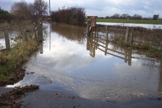
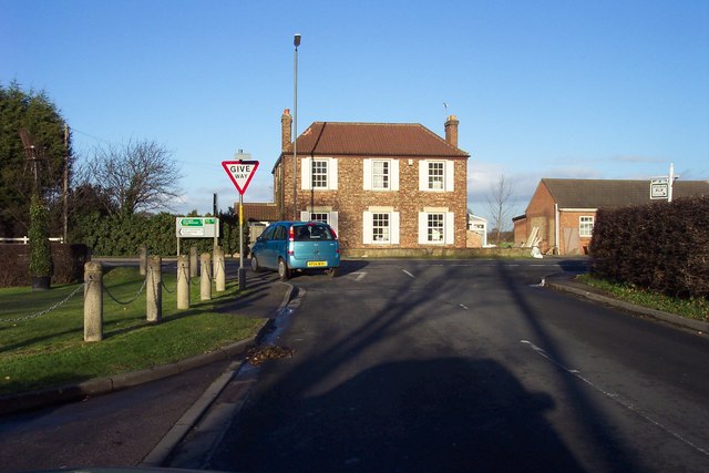
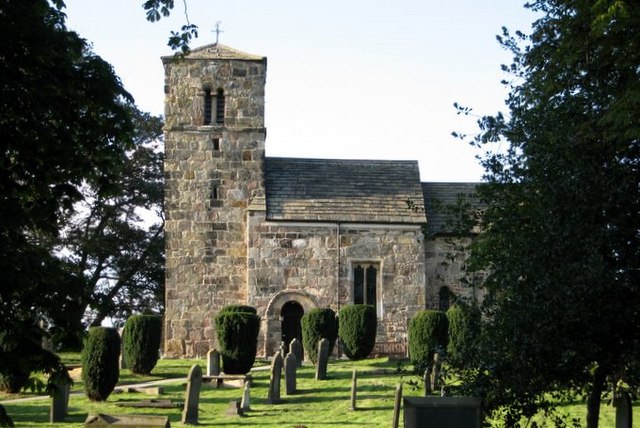
Images are sourced within 2km of 53.990347/-1.2834355 or Grid Reference SE4755. Thanks to Geograph Open Source API. All images are credited.


Cass's Plantation is located at Grid Ref: SE4755 (Lat: 53.990347, Lng: -1.2834355)
Division: West Riding
Administrative County: North Yorkshire
District: Harrogate
Police Authority: North Yorkshire
What 3 Words
///dirt.feared.nylon. Near Linton upon Ouse, North Yorkshire
Nearby Locations
Related Wikis
Kirk Hammerton
Kirk Hammerton is a village and civil parish in the Harrogate district of North Yorkshire, England. It is near the River Nidd and the A59 road, 10 miles...
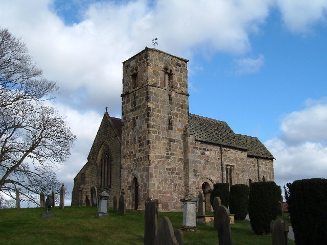
St John the Baptist Church, Kirk Hammerton
St John the Baptist Church, Kirk Hammerton is a Grade I listed Church of England church located in the village of Kirk Hammerton, North Yorkshire, England...

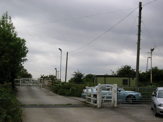
Hammerton railway station
Hammerton is a railway station on the Harrogate Line, which runs between Leeds and York via Harrogate. The station, situated 8+3⁄4 miles (14 km) west of...

Wilstrop
Wilstrop is a civil parish about 8 miles (13 km) west of York, in the Harrogate district, in the county of North Yorkshire, England. In 2001 the parish...
Nearby Amenities
Located within 500m of 53.990347,-1.2834355Have you been to Cass's Plantation?
Leave your review of Cass's Plantation below (or comments, questions and feedback).