Way Field
Downs, Moorland in Yorkshire Harrogate
England
Way Field

Way Field is a picturesque region located in Yorkshire, England, known for its stunning landscapes and diverse natural beauty. Nestled within the Downs and Moorland areas of Yorkshire, this region offers a unique blend of rolling hills, expansive moors, and charming villages.
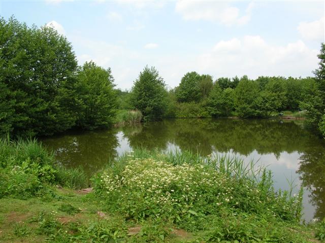
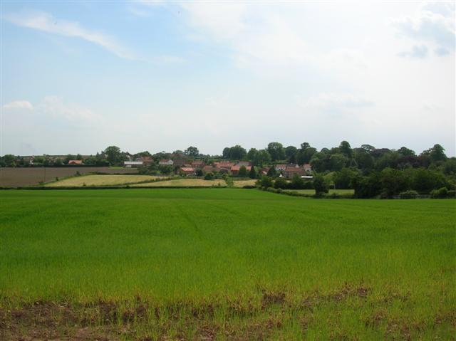
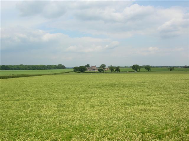
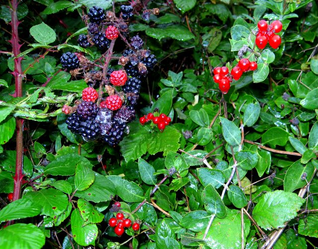
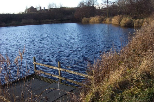
One of the defining features of Way Field is its lush greenery. The area is characterized by vast stretches of open countryside, adorned with vibrant meadows and fields, providing a haven for a variety of flora and fauna. The Downs offer gently sloping hills, creating a scenic backdrop for leisurely walks and hikes, while the Moorland presents a rugged terrain with heather-covered moors, attracting outdoor enthusiasts and nature lovers.
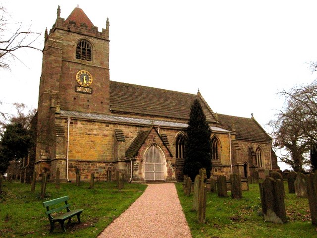
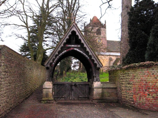
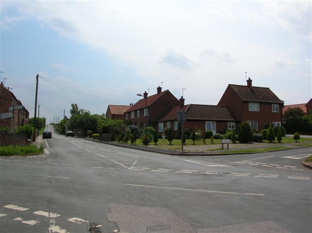
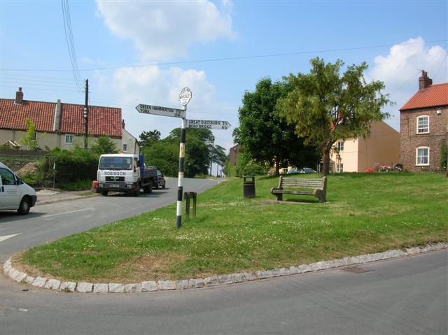
The villages within Way Field showcase traditional Yorkshire charm, with quaint stone cottages, historic churches, and local pubs. These villages provide a glimpse into the rich cultural heritage of the region, offering visitors a chance to immerse themselves in the local community and experience authentic Yorkshire hospitality.
The region is also home to several notable landmarks and attractions. For history enthusiasts, the ruins of ancient castles and abbeys dot the landscape, offering a glimpse into the area's storied past. Additionally, visitors can explore the numerous walking and cycling trails that crisscross the region, providing opportunities to discover hidden gems and breathtaking vistas.
Overall, Way Field, Yorkshire (Downs, Moorland) is a captivating destination that showcases the natural beauty and cultural heritage of Yorkshire. With its stunning landscapes, charming villages, and rich history, it offers a truly immersive experience for those seeking a tranquil escape in the heart of England.
If you have any feedback on the listing, please let us know in the comments section below.
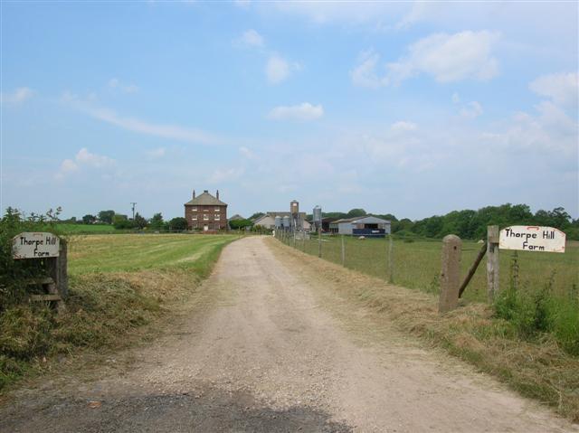
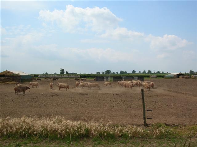
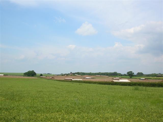
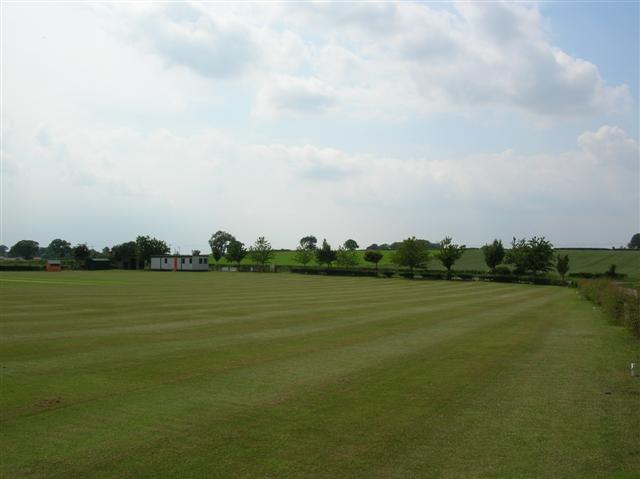
Way Field Images
Images are sourced within 2km of 54.020577/-1.3275607 or Grid Reference SE4458. Thanks to Geograph Open Source API. All images are credited.


Way Field is located at Grid Ref: SE4458 (Lat: 54.020577, Lng: -1.3275607)
Division: West Riding
Administrative County: North Yorkshire
District: Harrogate
Police Authority: North Yorkshire
What 3 Words
///factories.multiples.fruitcake. Near Linton upon Ouse, North Yorkshire
Related Wikis

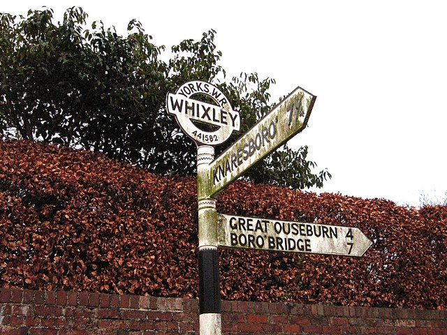
Whixley
Whixley is a village and civil parish in the Harrogate district of North Yorkshire, England. It is near the A1(M) motorway and 10 miles (16 km) west of...

Claro Wapentake
Claro was a wapentake of the West Riding of Yorkshire, England. It was split into two divisions. The Upper Division included the parishes of Farnham...

Allerton Mauleverer Priory
Allerton Mauleverer Priory was a medieval monastic house in North Yorkshire, England. The site is in Allerton Mauleverer with Hopperton Parish in the Harrogate...

Little Ouseburn
Little Ouseburn is a small village and civil parish in the Harrogate district of North Yorkshire, England. It is situated near the A1(M) motorway and 6...
Nearby Amenities
Located within 500m of 54.020577,-1.3275607Have you been to Way Field?
Leave your review of Way Field below (or comments, questions and feedback).