Arnhill Park

Downs, Moorland in Berkshire Vale of White Horse

England

Arnhill Park

Appletons, off Elder Way The same place as my picture <a href="https://www.geograph.org.uk/photo/6141178">SU4188 : Building Site east of Wantage</a> from two years ago.
Quite a difference. The streets have names and there are people living here.
And the useful hedge is still there.
Appletons, off Elder Way Credit: Des Blenkinsopp

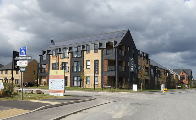
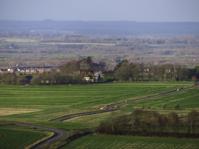
Arnhill Park is a picturesque natural reserve located in Berkshire, England. Spanning over a vast area, the park encompasses both downs and moorland, offering visitors a diverse and captivating landscape to explore.

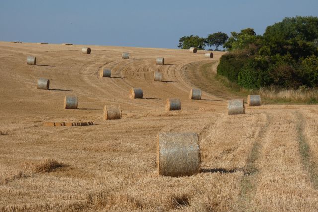
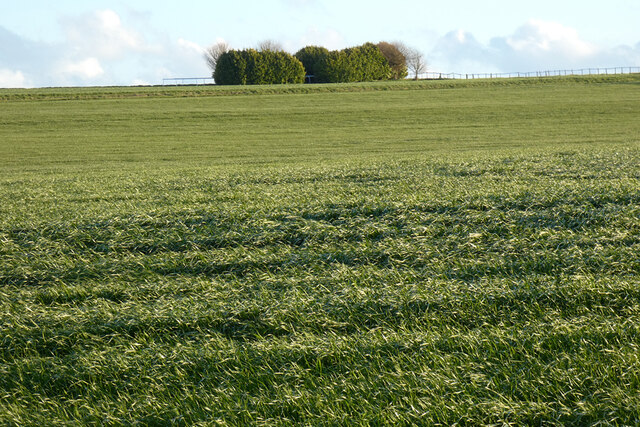
The downs of Arnhill Park are characterized by rolling hills covered in lush green grass, providing breathtaking panoramic views of the surrounding countryside. The area is renowned for its tranquil atmosphere, making it a popular destination for those seeking peace and solitude. Visitors can enjoy leisurely walks along the well-maintained paths that wind through the downs, immersing themselves in the beauty of nature.

In contrast, the moorland section of the park offers a unique and wilder experience. Here, visitors can witness the striking beauty of open heather-covered expanses, interspersed with patches of gorse and bracken. The moorland is home to a diverse range of plant and animal species, providing ample opportunities for nature enthusiasts and wildlife photographers to observe and capture the beauty of these natural habitats.

Arnhill Park is not only a haven for nature lovers but also offers a range of recreational activities. The park features designated picnic areas, where families and friends can enjoy a day out surrounded by the beauty of the landscape. Additionally, the park offers trails for horse riding and cycling, allowing visitors to explore the area in a more adventurous manner.

Overall, Arnhill Park is a haven of natural beauty, offering a perfect blend of downs and moorland. Its serene atmosphere, diverse wildlife, and range of recreational activities make it a must-visit destination for nature enthusiasts and those seeking a peaceful escape from the hustle and bustle of everyday life.

If you have any feedback on the listing, please let us know in the comments section below.
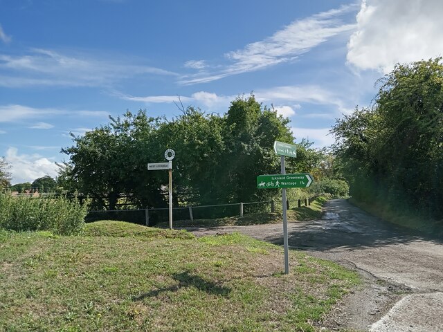
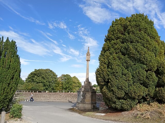
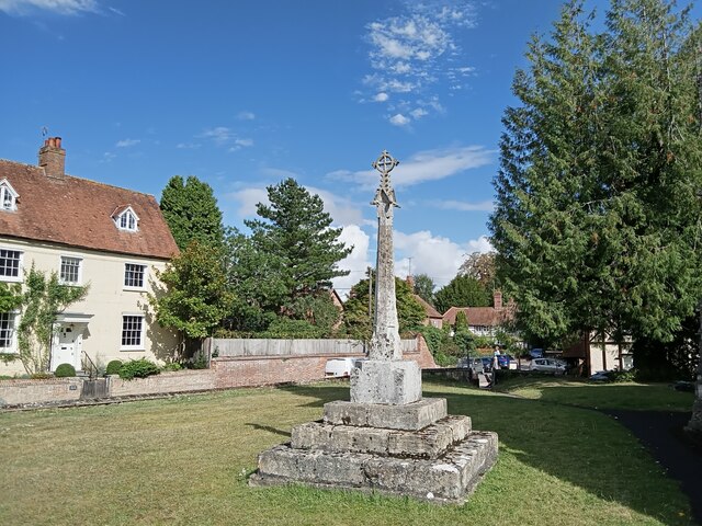
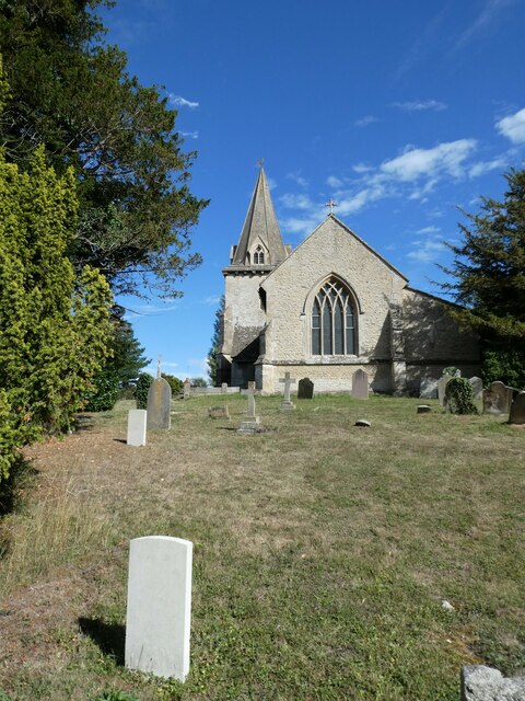
Arnhill Park Images

Images are sourced within 2km of 51.580398/-1.3909662 or Grid Reference SU4287. Thanks to Geograph Open Source API. All images are credited.

Appletons, off Elder Way The same place as my picture <a href="https://www.geograph.org.uk/photo/6141178">SU4188 : Building Site east of Wantage</a> from two years ago.
Quite a difference. The streets have names and there are people living here.
And the useful hedge is still there.
Appletons, off Elder Way
The same place as my picture SU4188 : Building Site east of Wantage from two years ago. Quite a difference. The streets have names and there are people living here. And the useful hedge is still there.
Corner of Primrose Avenue Part of a large new housing development to the east of Wantage.
What the board on the corner refers to as "A new community nestled within rolling countryside."
Well....whatever....
Corner of Primrose Avenue
Part of a large new housing development to the east of Wantage. What the board on the corner refers to as "A new community nestled within rolling countryside." Well....whatever....
Welcome to Downland More of the large new housing development to the east of Wantage.
Welcome to Downland
More of the large new housing development to the east of Wantage.
New Bus Terminus, Kingsgrove Where one day soon people will wait for the bus.
Just now it's the buses that are waiting for the people. The shelter and turnaround have been completed but there aren't any houses yet.
New Bus Terminus, Kingsgrove
Where one day soon people will wait for the bus. Just now it's the buses that are waiting for the people. The shelter and turnaround have been completed but there aren't any houses yet.
Bridleway heading to Ardington Bridleway between the fields heading to Ardington
Bridleway heading to Ardington
Bridleway between the fields heading to Ardington
Bridleway to Ardington Bridleway to Ardington nearing the byway to head on past the tree covered Roundabout Hill
Bridleway to Ardington
Bridleway to Ardington nearing the byway to head on past the tree covered Roundabout Hill
Chainhill Road heading to Wantage
The road to West Lockinge
Walking the dog at East Lockinge
Holy Trinity church, Ardington: churchyard (a)
Holy Trinity church, Ardington: churchyard (b) The CWGC grave nearest to me is Private James Alder <span class="nowrap"><a title="https://www.cwgc.org/find-records/find-war-dead/casualty-details/649152/james-alder/" rel="nofollow ugc noopener" href="https://www.cwgc.org/find-records/find-war-dead/casualty-details/649152/james-alder/">Link</a><img style="margin-left:2px;" alt="External link" title="External link - shift click to open in new window" src="https://s1.geograph.org.uk/img/external.png" width="10" height="10"/></span> and the one further up that of Private Hector Cooper <span class="nowrap"><a title="https://www.cwgc.org/find-records/find-war-dead/casualty-details/649153/hector-ernest-cooper/" rel="nofollow ugc noopener" href="https://www.cwgc.org/find-records/find-war-dead/casualty-details/649153/hector-ernest-cooper/">Link</a><img style="margin-left:2px;" alt="External link" title="External link - shift click to open in new window" src="https://s1.geograph.org.uk/img/external.png" width="10" height="10"/></span>
Holy Trinity church, Ardington: churchyard (b)
The CWGC grave nearest to me is Private James Alder LinkExternal link and the one further up that of Private Hector Cooper LinkExternal link
Farmland, Lockinge
Farmland, Lockinge
Farmland, Lockinge Looking like a silage crop on the hillside rising from the byway to Wantage.
Farmland, Lockinge
Looking like a silage crop on the hillside rising from the byway to Wantage.
South front of Ardington House The veranda of four timber columns on the garden side is a later edition to the  early Georgian  frontage. The pediment over the central three bays displays the arms of the Vernon family who owned the house in the early 19th century.
South front of Ardington House
The veranda of four timber columns on the garden side is a later edition to the early Georgian frontage. The pediment over the central three bays displays the arms of the Vernon family who owned the house in the early 19th century.
Imperial staircase in Ardington House As Richard Lethbridge notes in his New Shell Guide of 1988, all the rooms within Ardington House are quite small and intimate apart from the hall, which extends through the whole width of the building and is dominated by this grand staircase beginning as two parallel arms and returning as a single suspended flight, with thin twisted balusters and no visible support.  This notable feature, designed by Thomas Strong, is thought to have been influenced by Sir John Vanbrugh’s similar creation at King’s Weston in Bristol <a href="https://www.geograph.org.uk/gridref/ST5477">ST5477</a>, completed a few years earlier.
Imperial staircase in Ardington House
As Richard Lethbridge notes in his New Shell Guide of 1988, all the rooms within Ardington House are quite small and intimate apart from the hall, which extends through the whole width of the building and is dominated by this grand staircase beginning as two parallel arms and returning as a single suspended flight, with thin twisted balusters and no visible support. This notable feature, designed by Thomas Strong, is thought to have been influenced by Sir John Vanbrugh’s similar creation at King’s Weston in Bristol ST5477, completed a few years earlier.
North front of Ardington House The twin mounted cannonballs flanking the front door are relics of Lord Wantage's  service in the Crimean War, having been fired by the Russian frigate Vladimir at the Battle of Inkerman on 5th November 1854. The kitchen pavilion on the west (right) side  was designed in a mock Baroque style in 1961 by Hugh Vaux, and according to the listing citation is "not of special architectural interest".
North front of Ardington House
The twin mounted cannonballs flanking the front door are relics of Lord Wantage's service in the Crimean War, having been fired by the Russian frigate Vladimir at the Battle of Inkerman on 5th November 1854. The kitchen pavilion on the west (right) side was designed in a mock Baroque style in 1961 by Hugh Vaux, and according to the listing citation is "not of special architectural interest".
Gazebo at Ardington House Its domed roof supported on six stone pillars, this gazebo stands on a wooded island in the Ardington Brook and can be reached by a wooden footbridge.
Gazebo at Ardington House
Its domed roof supported on six stone pillars, this gazebo stands on a wooded island in the Ardington Brook and can be reached by a wooden footbridge.
Ardington House from the southeast The <a href="https://www.geograph.org.uk/photo/7493334">SU4388 : South front of Ardington House</a> rises above the irregularly manicured hedges that screen the open-air swimming pool.
Ardington House from the southeast
The SU4388 : South front of Ardington House rises above the irregularly manicured hedges that screen the open-air swimming pool.
Show me another place!

Arnhill Park is located at Grid Ref: SU4287 (Lat: 51.580398, Lng: -1.3909662)

Administrative County: Oxfordshire

District: Vale of White Horse

Police Authority: Thames Valley

What 3 Words

///bucked.rollover.highlighted. Near Wantage, Oxfordshire

Related Wikis

East Lockinge

East Lockinge is a village and former civil parish, now in the parish of Lockinge, in the Vale of White Horse district, in the county of Oxfordshire, England...

West Lockinge

West Lockinge is a village in and former civil parish, now in the parish of Lockinge, in the Vale of White Horse district, in the county of Oxfordshire...

Lockinge Estate

The Lockinge Estate is a 3,035-hectare (7,500-acre) agricultural and housing estate near Wantage that today includes most of the land and property encompassing...

Ardington

Ardington is a village and civil parish about 2 miles (3 km) east of Wantage in the Vale of White Horse. It was part of Berkshire until the 1974 boundary...

Ardington and Lockinge

Ardington and Lockinge are two civil parishes in the Vale of White Horse district, centred about 2 miles (3 km) east of Wantage, Oxfordshire, that share...

West Hendred

West Hendred is a village and civil parish about 3 miles (5 km) east of Wantage. It was part of Berkshire until the 1974 boundary changes transferred it...

Chain Hill

Chain Hill is one of the hills of the North Wessex Downs, located in the civil parish of Wantage in the English county of Oxfordshire. In 1974 it was transferred...

West Ginge

West Ginge is a hamlet within the civil parish of Ardington in the English county of Oxfordshire (formerly Berkshire), 3.9 miles (6.3 km) by road to the...

Nearby Amenities

Located within 500m of 51.580398,-1.3909662
Power: pole
Source: Bing
Lat/Long: 51.5774162/-1.38781
Power: pole
Source: Bing
Lat/Long: 51.576336/-1.3879173
Power: pole
Source: Bing
Lat/Long: 51.5780729/-1.385224
Historic: memorial
Lat/Long: 51.5843868/-1.3884397
Kitford Lodge
Place: isolated_dwelling
Lat/Long: 51.5791406/-1.3871426
Kitford Elms
Place: isolated_dwelling
Lat/Long: 51.5790604/-1.3841647
Arnhill Park
Place: locality
Lat/Long: 51.5808078/-1.3910562
The data included in this document is from www.openstreetmap.org. The data is made available under ODbL.

Have you been to Arnhill Park?

Leave your review of Arnhill Park below (or comments, questions and feedback).