Arn Hill
Hill, Mountain in Berkshire Vale of White Horse
England
Arn Hill

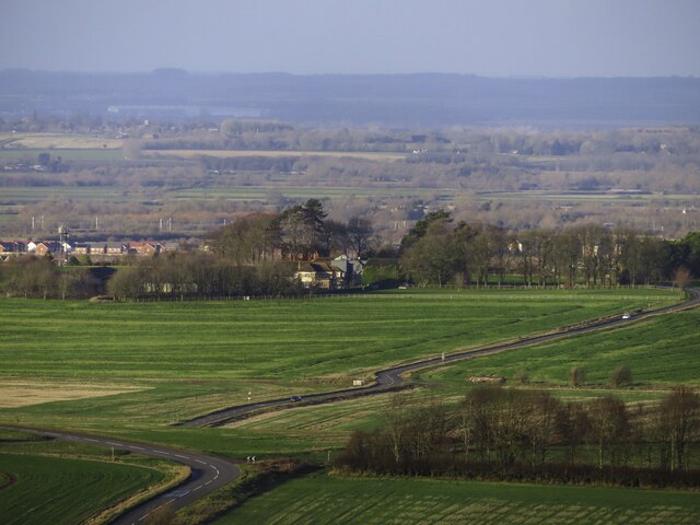
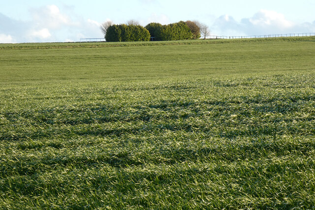
Arn Hill is a prominent geographical feature located in the county of Berkshire, England. Standing at an elevation of approximately 230 meters, it dominates the landscape with its scenic beauty and commanding presence. The hill is nestled within the picturesque countryside, surrounded by rolling meadows, lush fields, and dense woodlands.
Arn Hill offers breathtaking panoramic views of the surrounding area, including the nearby villages and towns. On a clear day, visitors can marvel at the stunning vistas stretching as far as the eye can see. The hill is especially popular among hikers, nature enthusiasts, and photographers seeking to capture its natural splendor.
The terrain of Arn Hill is predominantly undulating, with gentle slopes and occasional steeper sections. It is covered in a variety of vegetation, ranging from grasslands to shrubs, and dotted with scattered trees. The area is home to a diverse array of wildlife, including deer, rabbits, and numerous bird species, making it a haven for nature lovers.
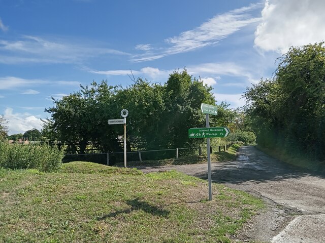
Visitors to Arn Hill can explore its numerous walking trails, which wind through the countryside and offer a chance to immerse oneself in the tranquility of nature. The hill also provides opportunities for outdoor activities such as picnicking, birdwatching, and even kite flying.
Arn Hill’s proximity to nearby villages ensures easy access to amenities such as parking facilities, refreshments, and accommodations. Additionally, its location within Berkshire makes it a convenient destination for day trips from nearby cities like Reading and London.
In summary, Arn Hill in Berkshire stands as a captivating natural landmark, offering breathtaking views, diverse flora and fauna, and a peaceful escape into the beauty of the English countryside.
If you have any feedback on the listing, please let us know in the comments section below.
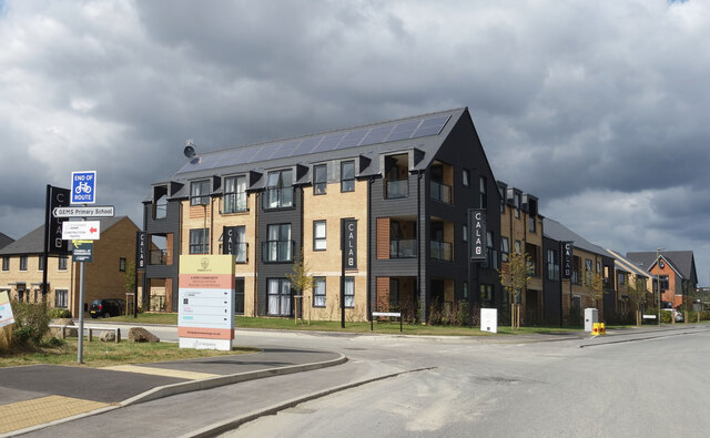
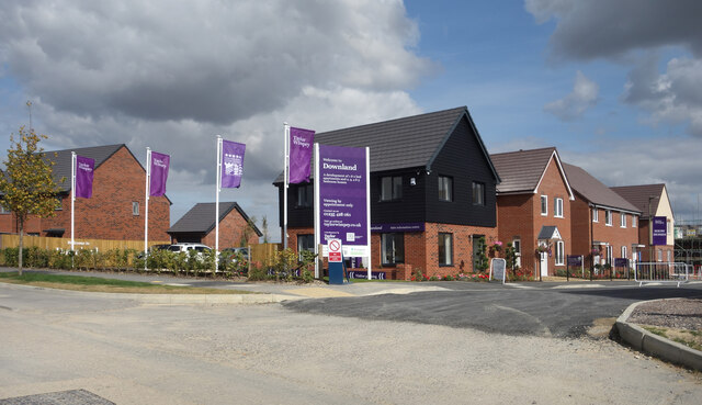
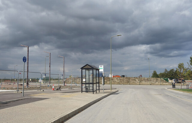
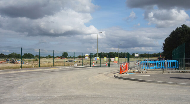
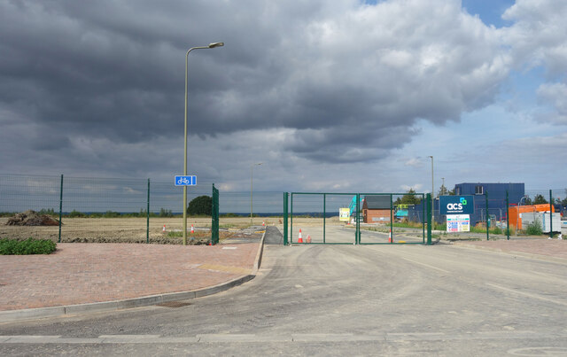
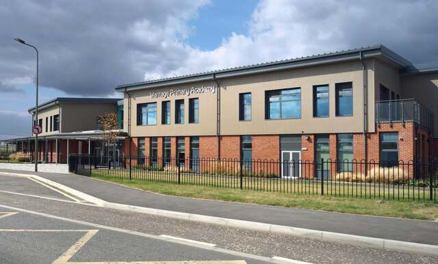
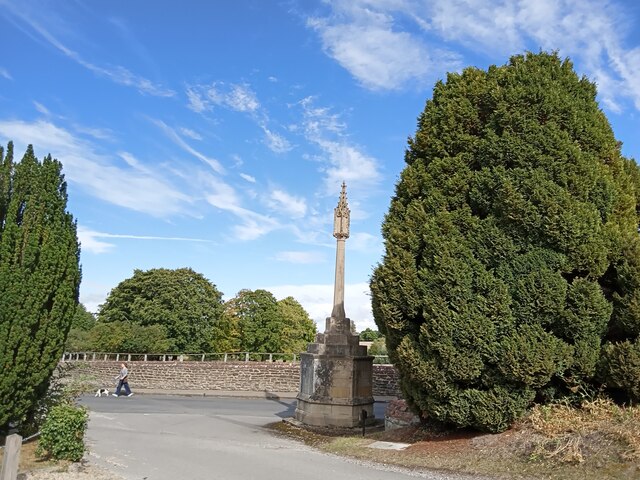
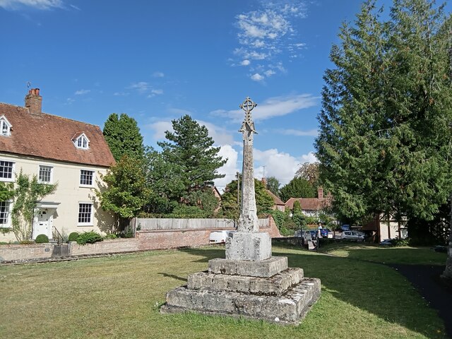
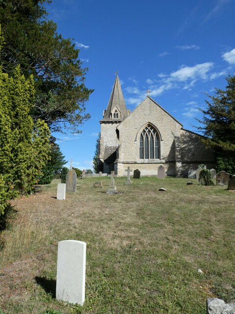
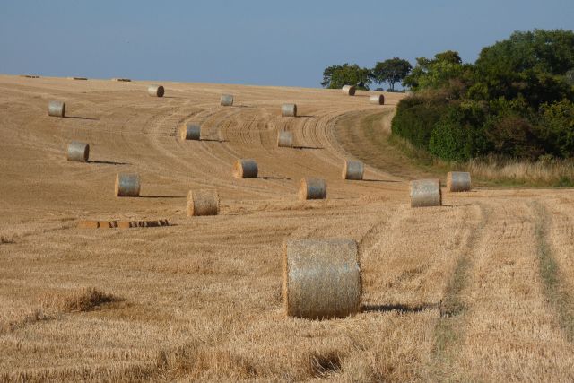
Arn Hill Images
Images are sourced within 2km of 51.582037/-1.3915649 or Grid Reference SU4287. Thanks to Geograph Open Source API. All images are credited.


Arn Hill is located at Grid Ref: SU4287 (Lat: 51.582037, Lng: -1.3915649)
Administrative County: Oxfordshire
District: Vale of White Horse
Police Authority: Thames Valley
What 3 Words
///hindering.giving.computer. Near Wantage, Oxfordshire
Nearby Locations
Related Wikis

East Lockinge
East Lockinge is a village and former civil parish, now in the parish of Lockinge, in the Vale of White Horse district, in the county of Oxfordshire, England...

West Lockinge
West Lockinge is a village in and former civil parish, now in the parish of Lockinge, in the Vale of White Horse district, in the county of Oxfordshire...

Lockinge Estate
The Lockinge Estate is a 3,035-hectare (7,500-acre) agricultural and housing estate near Wantage that today includes most of the land and property encompassing...

Ardington
Ardington is a village and civil parish about 2 miles (3 km) east of Wantage in the Vale of White Horse. It was part of Berkshire until the 1974 boundary...

West Hendred
West Hendred is a village and civil parish about 3 miles (5 km) east of Wantage. It was part of Berkshire until the 1974 boundary changes transferred it...

Ardington and Lockinge
Ardington and Lockinge are two civil parishes in the Vale of White Horse district, centred about 2 miles (3 km) east of Wantage, Oxfordshire, that share...

Chain Hill
Chain Hill is one of the hills of the North Wessex Downs, located in the civil parish of Wantage in the English county of Oxfordshire. In 1974 it was transferred...

St Mary's School, Wantage
St Mary's School was a private day and boarding girls' school located in Wantage, Oxfordshire, England. In 2007 it merged with Heathfield School to become...
Nearby Amenities
Located within 500m of 51.582037,-1.3915649Have you been to Arn Hill?
Leave your review of Arn Hill below (or comments, questions and feedback).