Milby Moor

Downs, Moorland in Yorkshire Harrogate

England

Milby Moor

Crossing cables Two sets of cables cross in the middle of this field off the Boroughbridge road.
Crossing cables Credit: DS Pugh

Milby Moor is a picturesque region located in Yorkshire, England. Situated on the eastern edge of the Yorkshire Dales National Park, it is renowned for its stunning downs and moorland landscapes. Spanning over an area of approximately 100 square kilometers, Milby Moor offers visitors a diverse range of natural features and outdoor activities.

The moorland of Milby Moor is characterized by its rolling hills, heather-covered expanses, and scattered rocky outcrops. This unique terrain provides a haven for various wildlife species, including red grouse, curlews, and the occasional glimpse of a soaring golden eagle. It is also home to several rare plant species, such as bilberry and cotton grass, adding to its ecological significance.

Walking and hiking enthusiasts are drawn to Milby Moor due to its extensive network of footpaths and bridleways that crisscross the area. These paths offer panoramic views of the surrounding countryside, including glimpses of the nearby Nidderdale Area of Outstanding Natural Beauty and the iconic Yorkshire Three Peaks on the horizon.

Milby Moor is also popular among outdoor enthusiasts for activities such as mountain biking, horse riding, and birdwatching. The moorland's open spaces and tranquil atmosphere provide a serene setting for these recreational pursuits.

Overall, Milby Moor in Yorkshire is a captivating destination for nature lovers, offering a diverse range of landscapes, abundant wildlife, and a multitude of outdoor activities for visitors to enjoy.

If you have any feedback on the listing, please let us know in the comments section below.
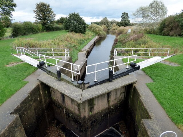
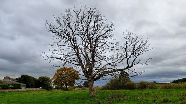
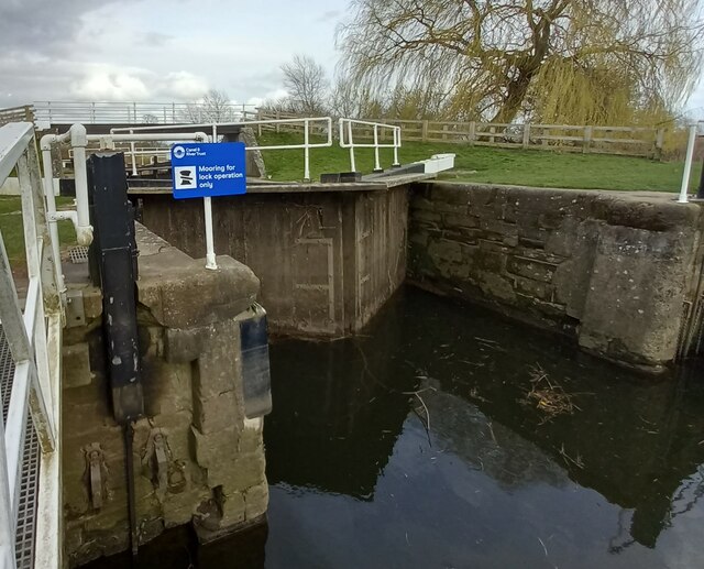
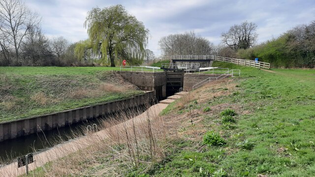
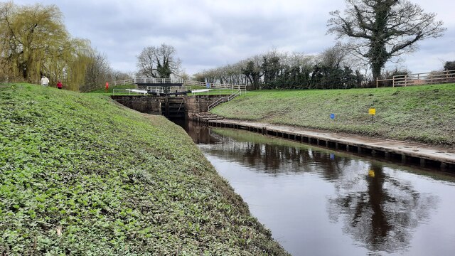
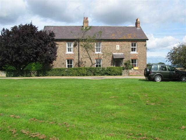
Milby Moor Images

Images are sourced within 2km of 54.115603/-1.3740902 or Grid Reference SE4169. Thanks to Geograph Open Source API. All images are credited.

Crossing cables Two sets of cables cross in the middle of this field off the Boroughbridge road.
Crossing cables
Two sets of cables cross in the middle of this field off the Boroughbridge road.
Hedge at the end of the farm track A track leads down from Thornton Manor Farm into the fields to the west, and ends near this hedgeline which runs down towards Nanny Wan; the fields are planted mainly with wheat.
Hedge at the end of the farm track
A track leads down from Thornton Manor Farm into the fields to the west, and ends near this hedgeline which runs down towards Nanny Wan; the fields are planted mainly with wheat.
Track from Thornton Manor
Farmland off Burton Lane
Burton Lane heading north
Field Corner near Norton-le-Clay Drainage channels mark the boundary of this particular field
Field Corner near Norton-le-Clay
Drainage channels mark the boundary of this particular field
Main Goit Drainage channel that serves fields to the east of Norton-le-Clay
Main Goit
Drainage channel that serves fields to the east of Norton-le-Clay
The track to Treble Sykes Farm Running east from the Milby - Thornton Bridge road.The distant church is in Brafferton, on the opposite bank of the River Swale.
The track to Treble Sykes Farm
Running east from the Milby - Thornton Bridge road.The distant church is in Brafferton, on the opposite bank of the River Swale.
Winter hedge along the road to Thornton Bridge Looking north-east, towards the distant Kilburn White Horse.
Winter hedge along the road to Thornton Bridge
Looking north-east, towards the distant Kilburn White Horse.
Milby Lock Eastern lock gate.
Milby Lock
Eastern lock gate.
Dead tree at Ellenthorpe Hall
Milby Lock The rivet and arrowhead is cut into the lock structure, downstream of the lock gates.
Milby Lock
The rivet and arrowhead is cut into the lock structure, downstream of the lock gates.
Milby Lock There is a rivet and arrowhead cut into the lock structure, and is close to the blue information board. It is on the Boroughbridge side of the lock gates.
Milby Lock
There is a rivet and arrowhead cut into the lock structure, and is close to the blue information board. It is on the Boroughbridge side of the lock gates.
Milby, Grange Farm There is the remains of a very faint benchmark on the right hand edge of the roadside farm building of Grange Farm.
Milby, Grange Farm
There is the remains of a very faint benchmark on the right hand edge of the roadside farm building of Grange Farm.
Milby Lock and footbridge
Milby Lock Looking West
Milby Lock
Looking West
Milby Lock Taken on a maintenance visit to the Milby Lock cache.
Milby Lock
Taken on a maintenance visit to the Milby Lock cache.
Show me another place!

Milby Moor is located at Grid Ref: SE4169 (Lat: 54.115603, Lng: -1.3740902)

Division: North Riding

Administrative County: North Yorkshire

District: Harrogate

Police Authority: North Yorkshire

What 3 Words

///crispier.driftwood.averts. Near Boroughbridge, North Yorkshire

Nearby Locations

Burton Moor Milby Moor

Related Wikis

Humberton

Humberton is a hamlet and civil parish in the Harrogate district of North Yorkshire, England. It is situated 2 miles (3.2 km) east from Boroughbridge and...

Milby

Milby is a hamlet and civil parish in the Harrogate district of North Yorkshire, England. It is situated to the immediate north of Boroughbridge. ��2...

Ellenthorpe

Ellenthorpe is a civil parish in the Borough of Harrogate of North Yorkshire, England. In 2001, the civil parish had 34 inhabitants. It was mentioned in...

Kirby-on-the-Moor

Kirby-on-the-Moor, also called Kirby, is a village in the Kirby Hill civil parish about 1 mile (1.6 km) north of the market town of Boroughbridge, in...

Nearby Amenities

Located within 500m of 54.115603,-1.3740902
Power: tower
Lat/Long: 54.116069/-1.3692651
Power: tower
Lat/Long: 54.1132198/-1.3772066
Power: tower
Lat/Long: 54.1168173/-1.3673553
Power: tower
Lat/Long: 54.1152059/-1.3717434
Power: tower
Lat/Long: 54.1142201/-1.3743934
The data included in this document is from www.openstreetmap.org. The data is made available under ODbL.

Have you been to Milby Moor?

Leave your review of Milby Moor below (or comments, questions and feedback).